North Cascades | Okanogan Range
Okanogan-Wenatchee National Forest
Location: 48.5997194,-119.7467869
Summit Elevation: 5,121′
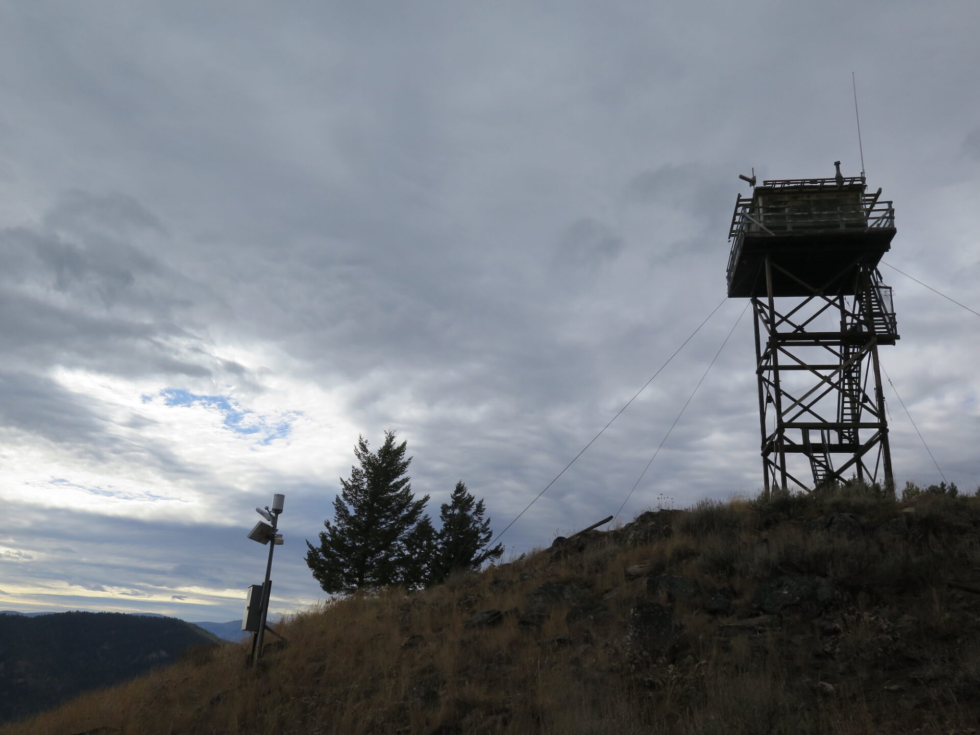
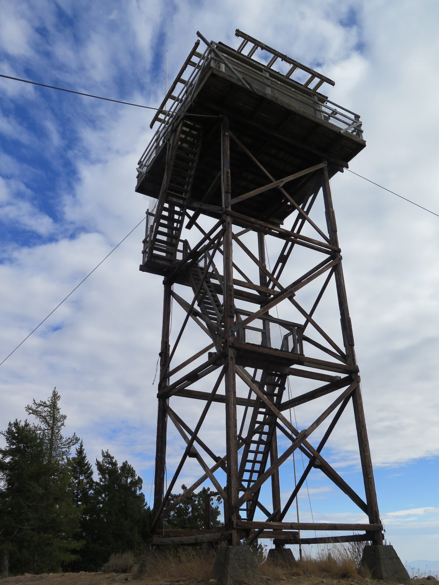
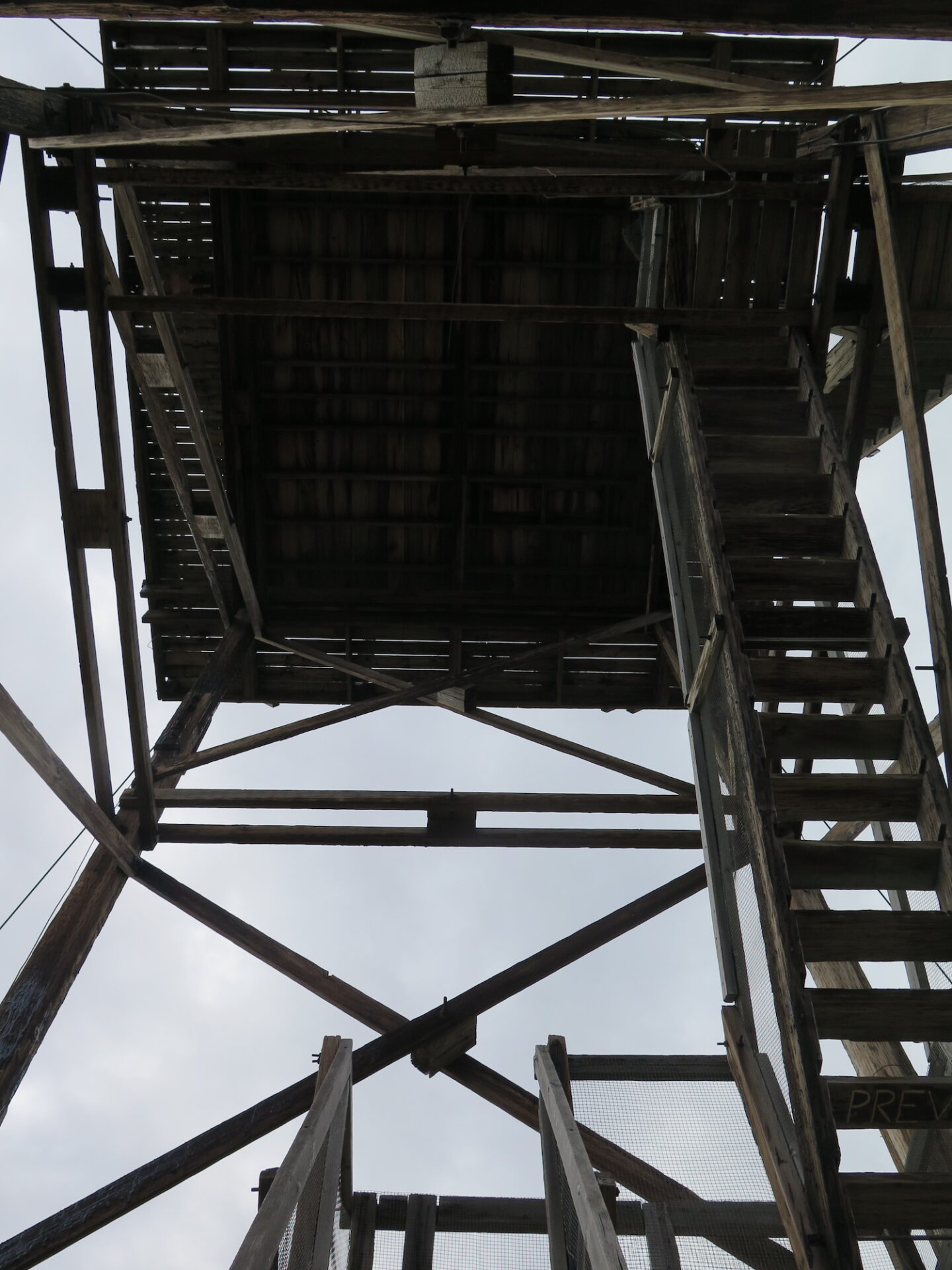
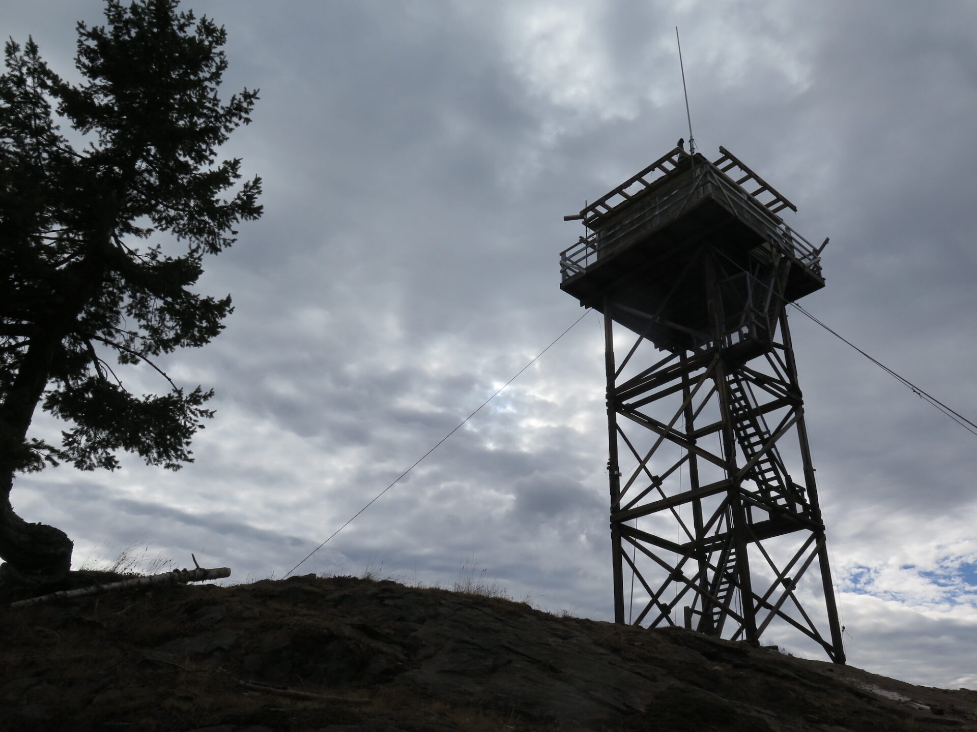
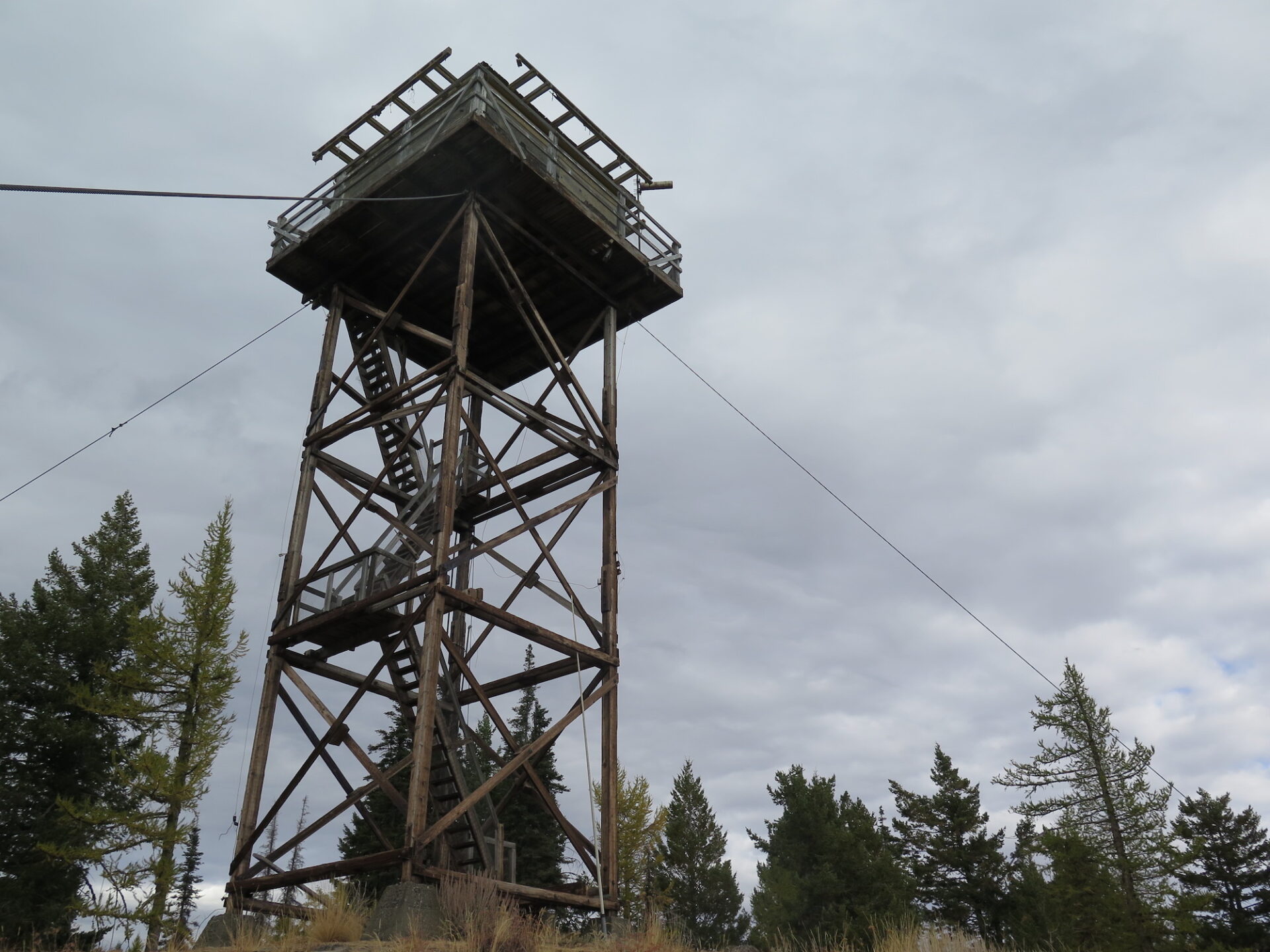
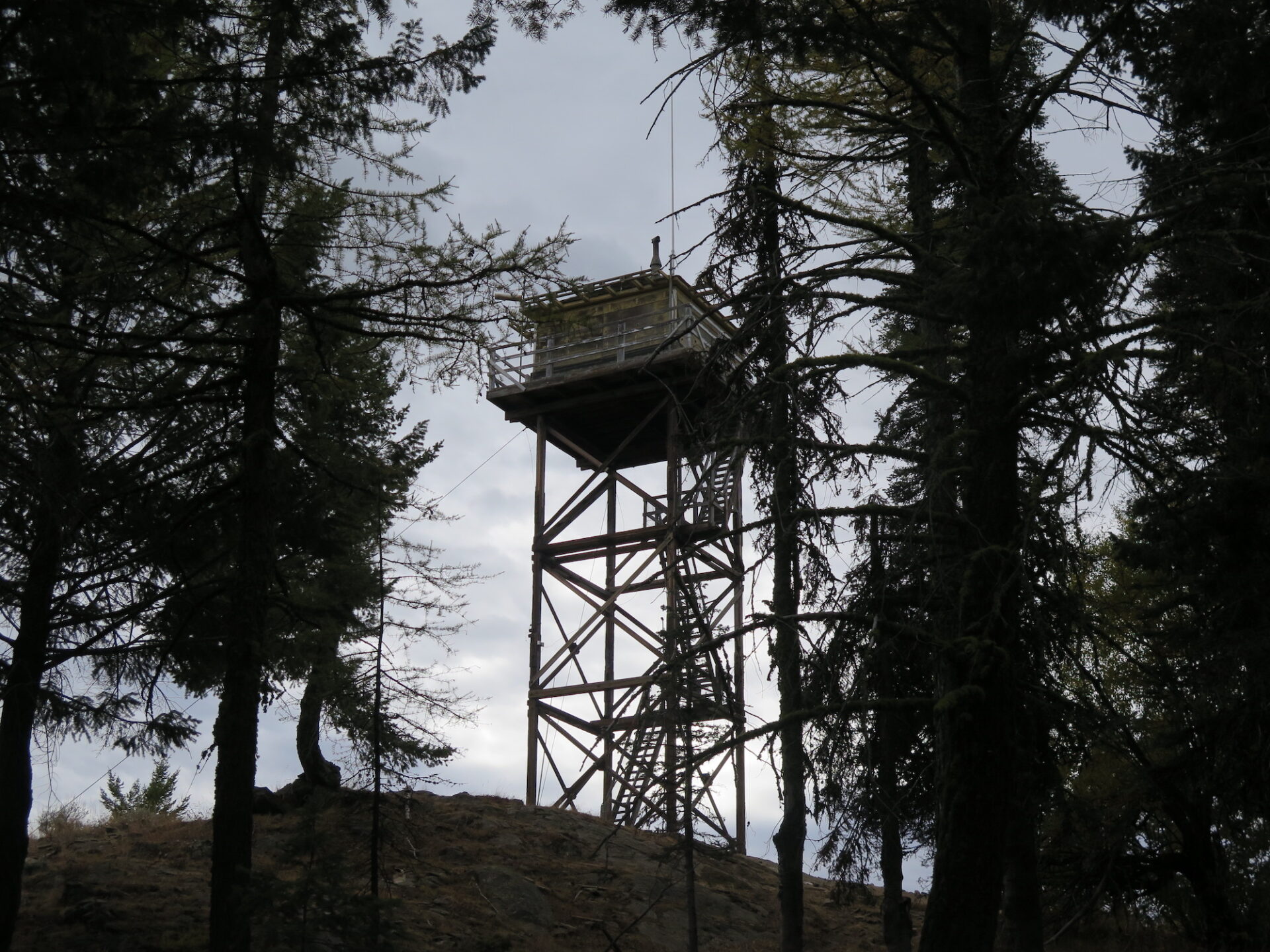
Lookout Type: 14’x14′ L-4 with catwalk and Crows nest
Site Established: 1914
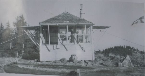
Current Structure Built: 1943
Date Visited: 10/6/17
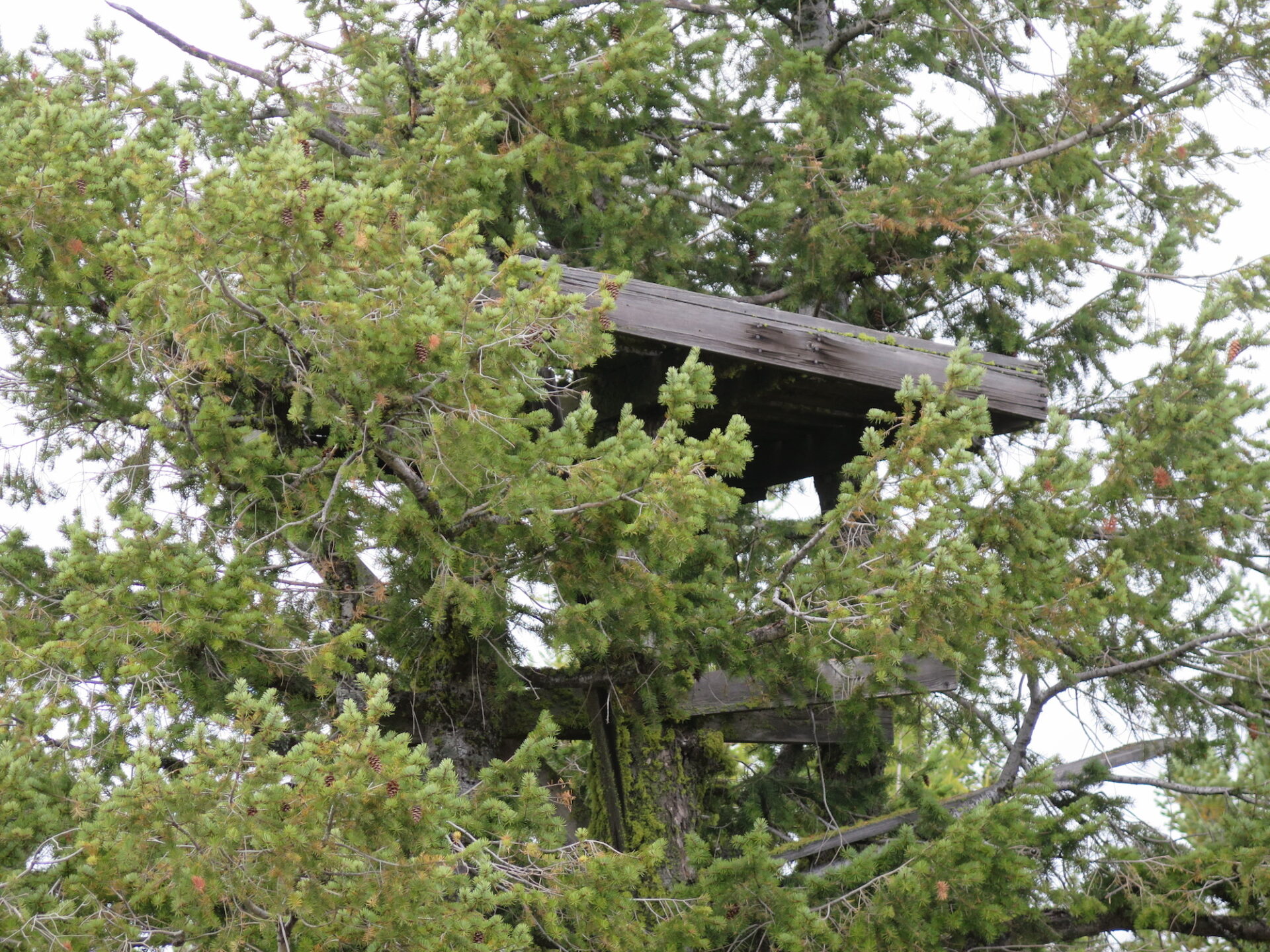
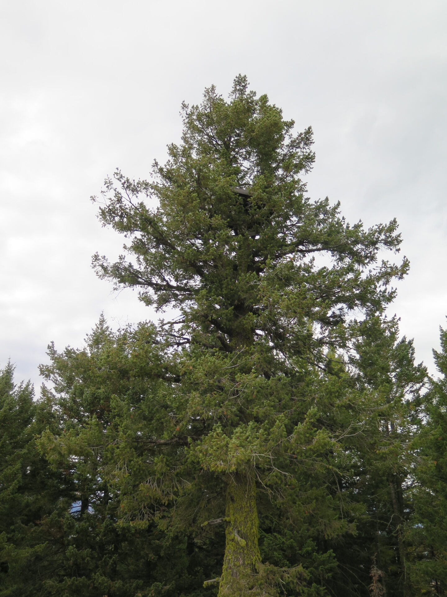
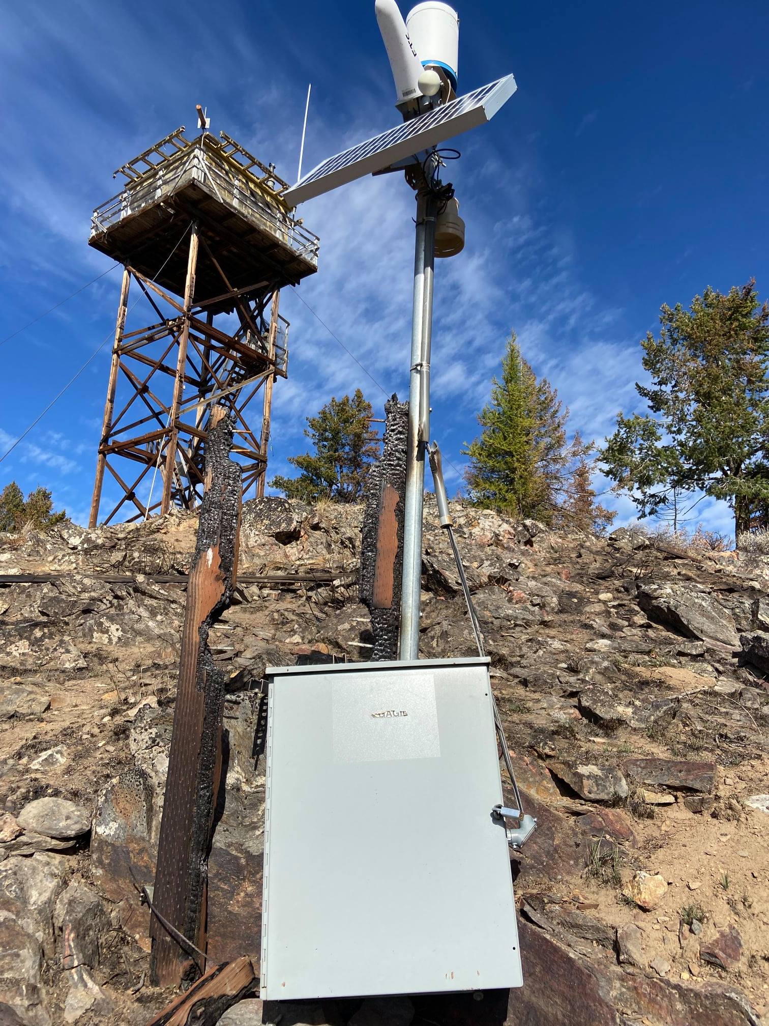
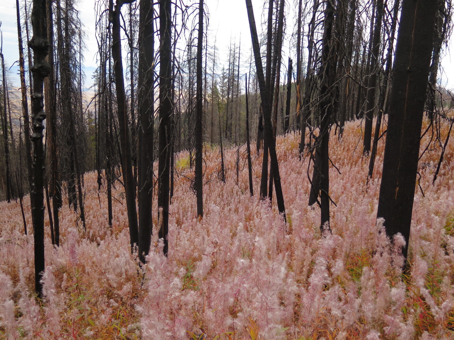
Funk is in need of a lot of love, but what it lacks in style it makes up for with its views of Lake Conconully. Sadly the summit was burned in the 2021 Muckamuck fire and though the lookout survived, it appears the historic crows nest structure, built in 1914, did not.
Photos are from a 2017 visit and 2021 drive-by.
History.
Funk Mountain was first established in 1914 with a crows nest tree lookout. An L-5 ground cab was added in 1935 and then replaced in 1943 by the current L-4 cab with catwalk on a 40′ timber tower. The lookout has been used for emergency fire detection and was staffed full time in 2000. It’s listed on the National Historic Lookout Register but sadly, is now in rough condition and desperately needs a little love.
Funk Mountain was one of a handful of Washington State lookouts dangerously close to fire during the summer of 2021. The Muckamuck fire, started by lighting on August 4, burned 360 degrees around the lookout but somehow spared the structure. Pictures of the old crows nest tree indicate the structure has been lost, a sad fate considering it was one of the oldest crows nest still in existence in the Northwest and had survived over 100 years of weather and fires.

The route.
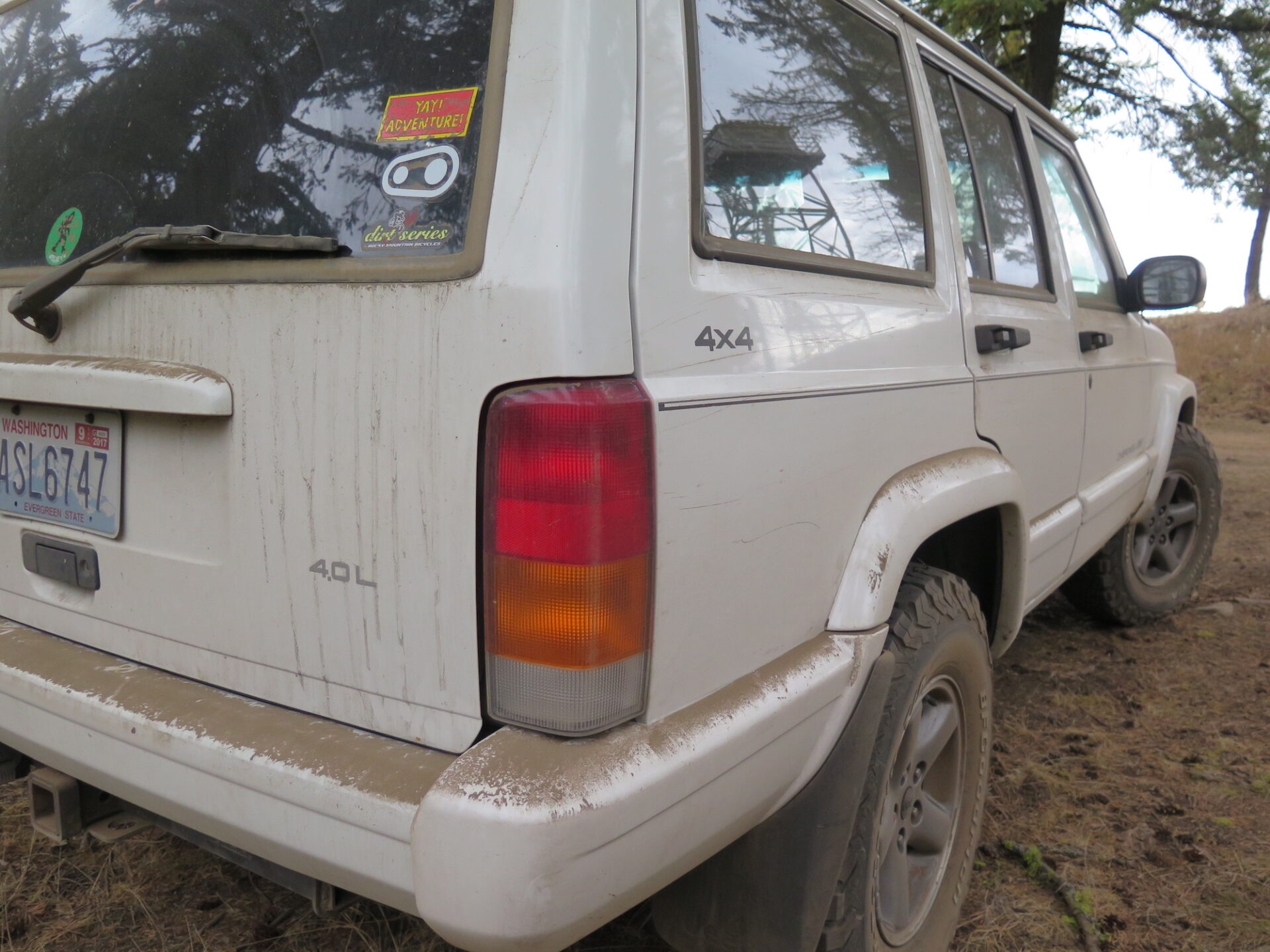
*Driving to the summit is possible if the gate is open and you have a high-clearance 4×4. Otherwise, park lower and hike the road to the top.
If the road is gated, you’ll need to hike 1.9 miles up to the summit. At the top gate, the lookout it a short 0.2 mile walk.
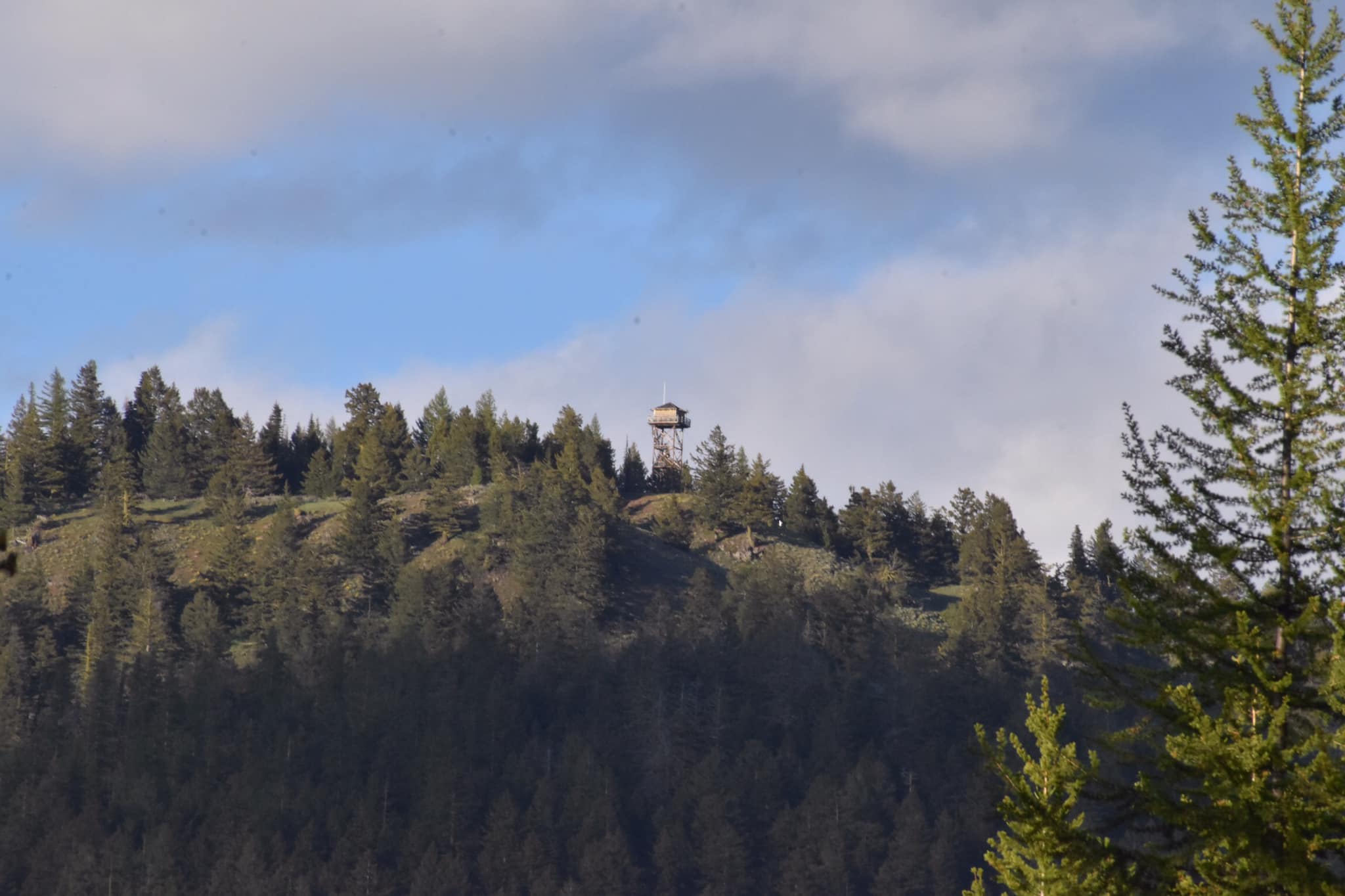
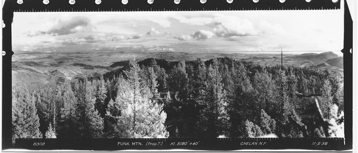
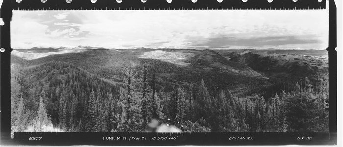
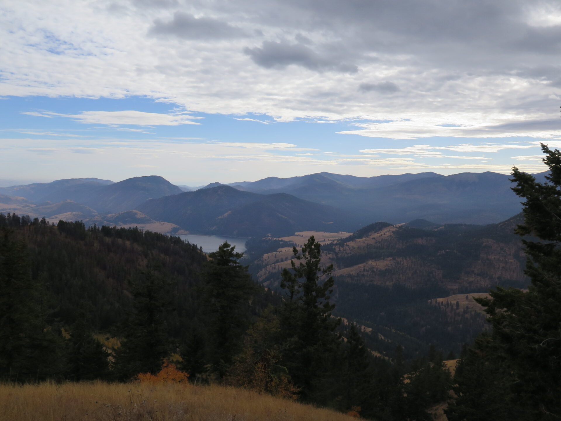
From the summit, look for the old tree with a crow’s nest lookout. Views to the north are slightly obscured by trees but the views of Aeneas Mountain and Conconully Lake are gorgeous!
Directions.
From downtown Conconully, head north along Main Street and in 3.5 miles, turn right onto Forest Road 3810. In 2.1 miles, turn right onto Road 200. After 0.8 miles, the original Road 200 veers to the left and is decommissioned. Follow Road 210, the summit road, straight ahead and briefly uphill through a gate. If the gate is closed, hike 1.9 miles to the summit. If not, continue up to an access gate just below the summit. When I visited in October 2017, all gates were open to the top.
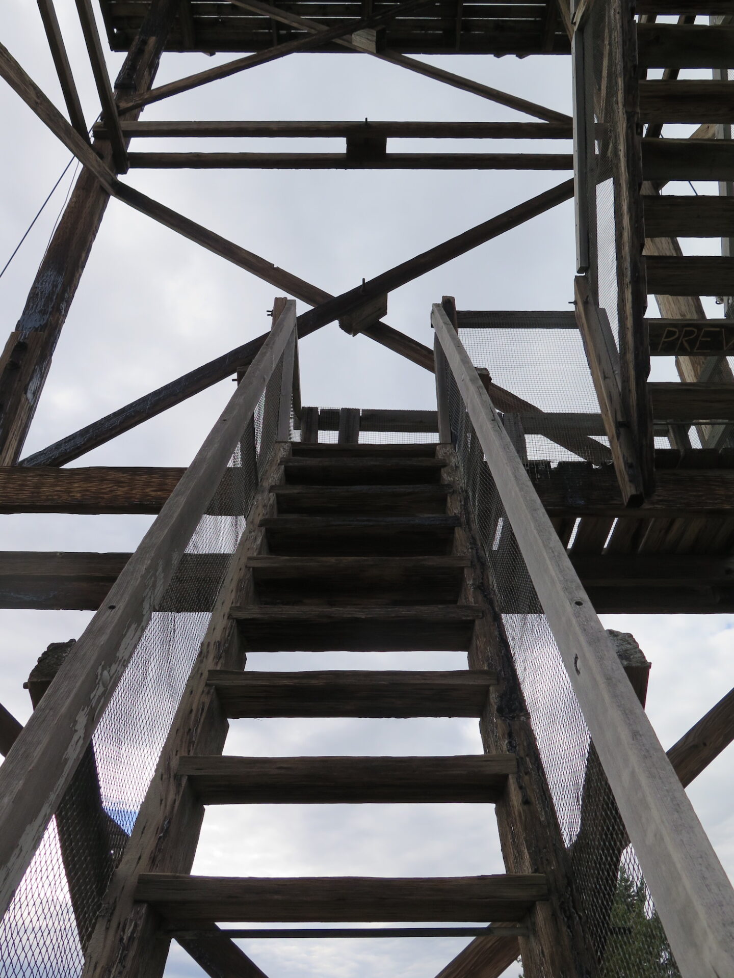
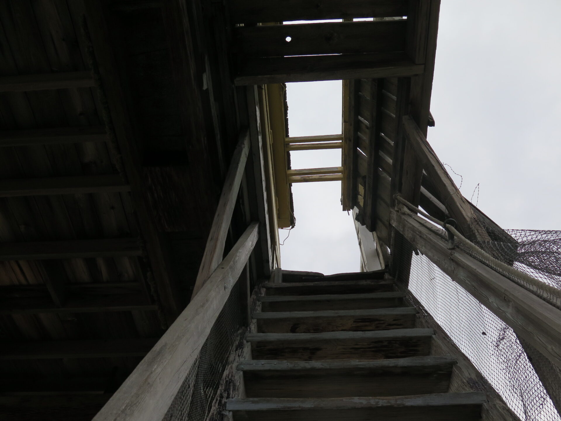
Public access to the lookout is allowed but be cautious as the catwalk is missing many planks and the staircase is also missing several steps. A sign at the top of the stairs warns “Danger: Keep Out”.