A few weeks ago I took an extended trip to the Okanogan to put a dent in my lookout bagging list. The first part of my trip was spent in the Methow Valley visiting three new lookouts and revisiting two old ones. The second part of my trip took me further east into the Okanogan than I had ever been. I set my sights on visiting Mount Bonaparte as well as a handful of other lookouts in the area.
I first heard of Bonaparte while living in the Methow Valley a few years ago. It’s a unique and interesting mountain. Too far east to be in the Cascades and too far west to be in the Selkirks, it stands all by itself at 7,258’ with over 3,500’ of prominence. On top is eastern Washington’s highest lookout and 4th highest in the state in terms of elevation. It’s a fascinating objective that I was long overdue to visit.
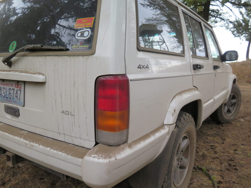
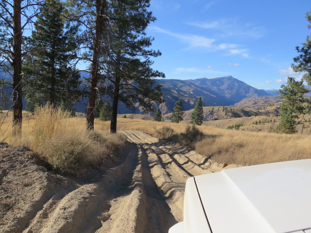
Always up for a road adventure, I mapped out a 33 mile cross country drive on Boulder Creek Road (NF-37) from Winthrop to the town of Conconully. It would allow me a fun backroad trip as well as a quick detour to the Funk Mountain Lookout on my way to Bonaparte. I wasn’t sure at all what to expect in terms of road conditions, so I gave my ‘ol Jeep Cherokee a loving pat and off we went.
I guess now is a good time to mention that even though my old Cherokee is known for its reliability, it is approaching 240k miles so I carry a SPOT tracker with me everywhere. It certainly makes me feel a little more secure when I’m about to drive completely off the grid!
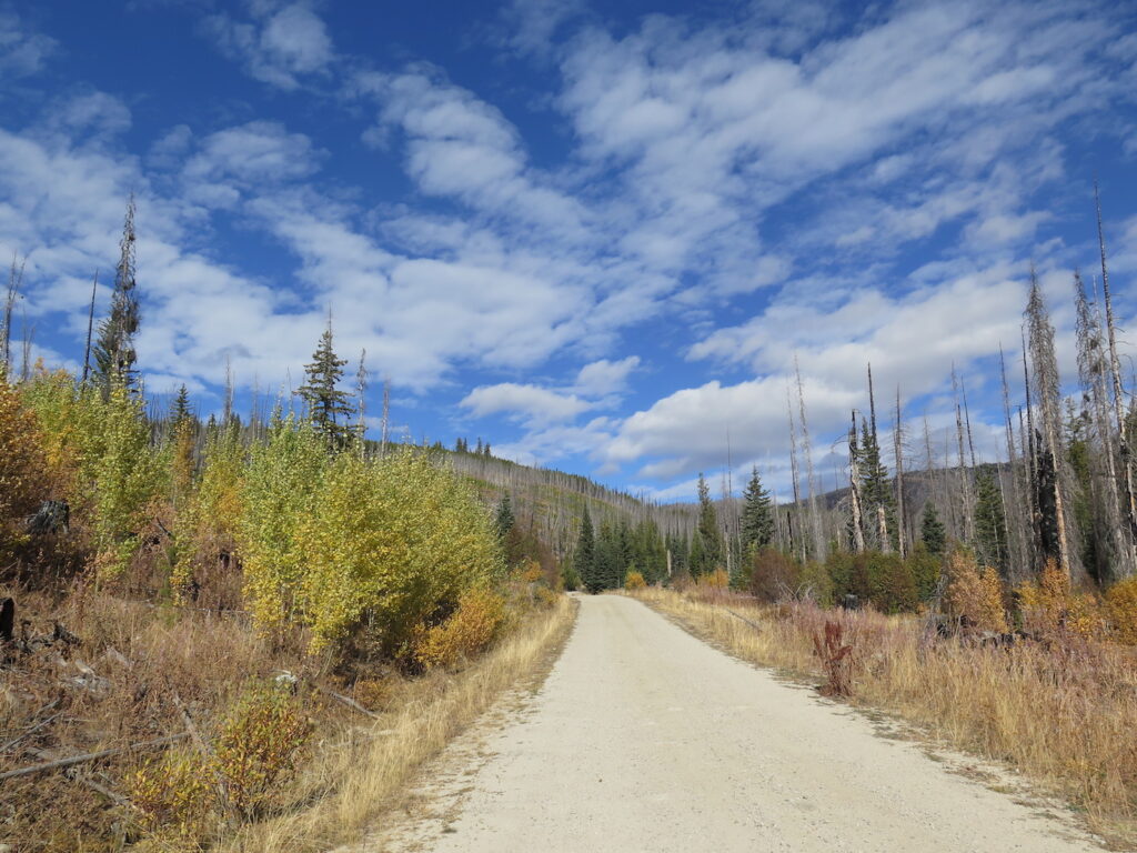
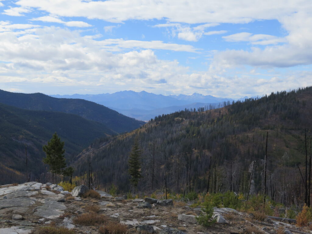
Other than a handful of nasty washboard sections, Boulder Creek Road was in surprisingly good shape. Most of the way was a bit somber, winding through large, blackened scars from the 2006 Tripod Fire that burned over 175,000 acres of land, but there was no shortage of gorgeous fall color, stunning views of the North Cascades, and sweeping vistas to the entire Methow Valley below.
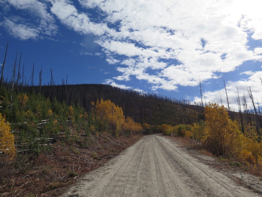
The road climbs steadily to Baldy Pass (6,515’) before making a sharp turn and treating you to a breathtaking view of the entire eastern Okanogan Valley. From there, it’s a big descent to the valley floor through unexpectedly lush forests filled with some of the biggest larch trees I’ve ever seen!
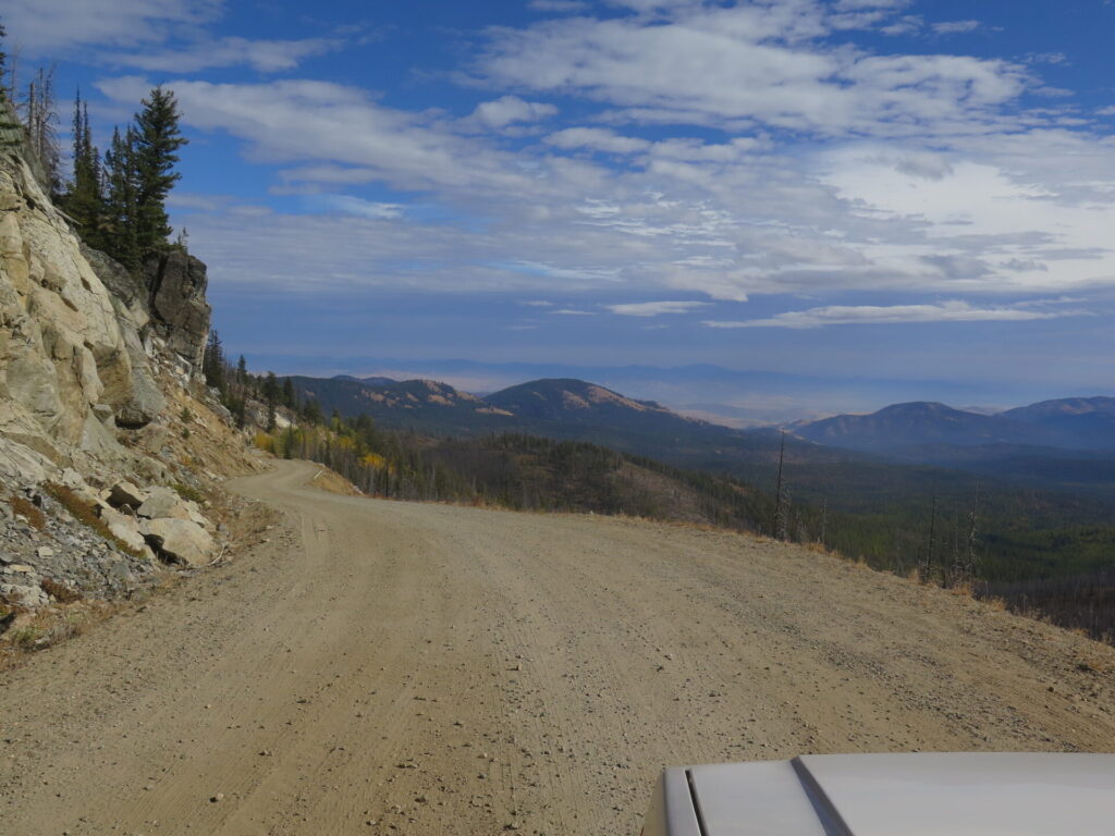
This drive really blew me away, especially the larch forests on the other side! It was not at all what I expected and a great excuse to see some less traveled Washington roads. I couldn’t help but think my motorcycle and bicycle friends should put this on their gravel rides list! I didn’t even pass a single person the whole way.
Conconully itself is an interesting little town with neatly manicured houses and lawns and a gorgeous little city park on a lake with tons of camping spots. I might have set up my tent right there if I hadn’t already planned to camp near Bonaparte that night. Nearly everyone in town was on an ATV or dirt bike. In the winter it’s the only Washington State town you can legally ride through on a snowmobile.

Funk Mountain: Lookout #26
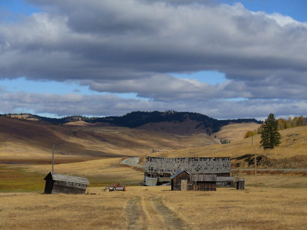
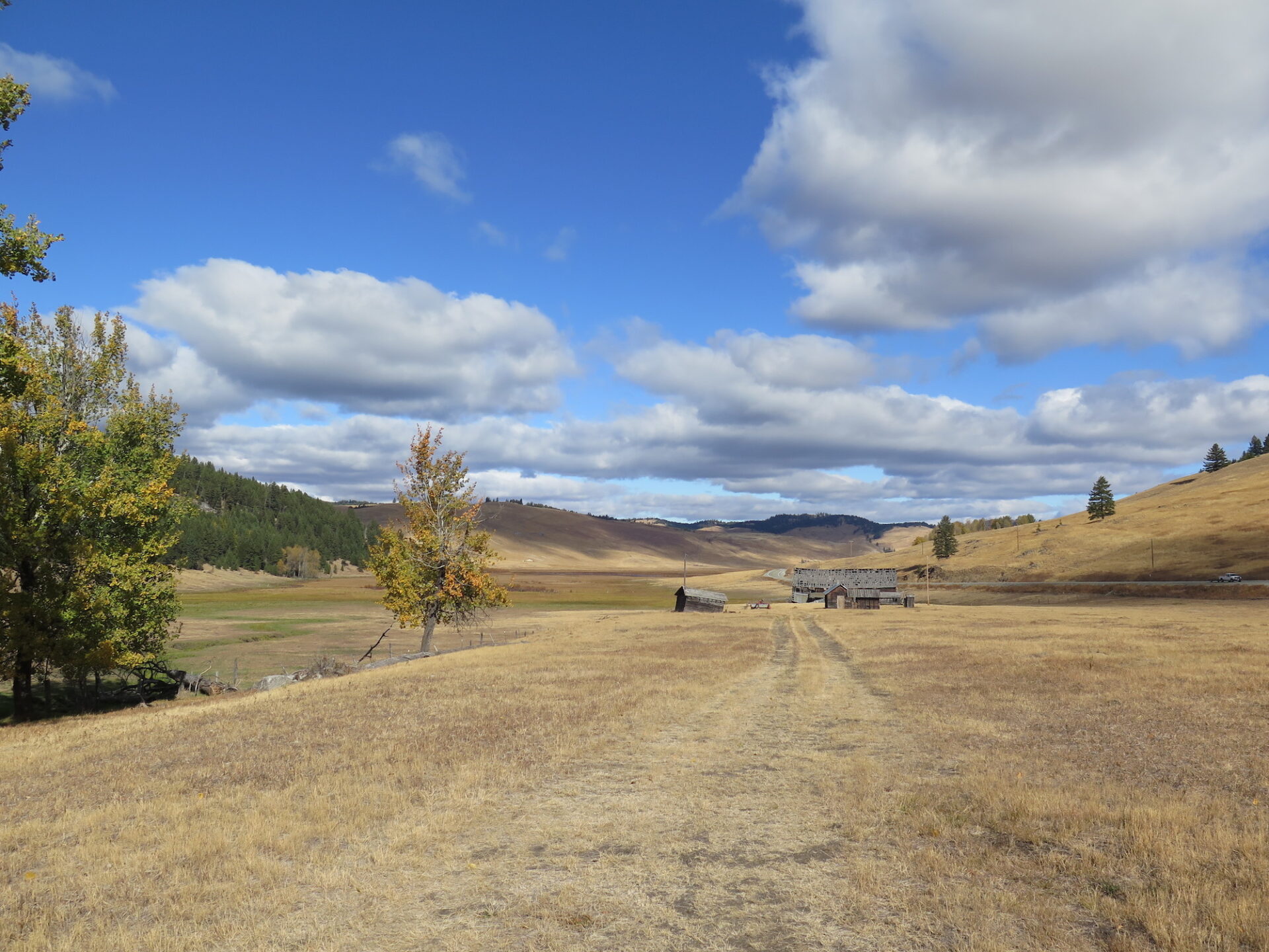
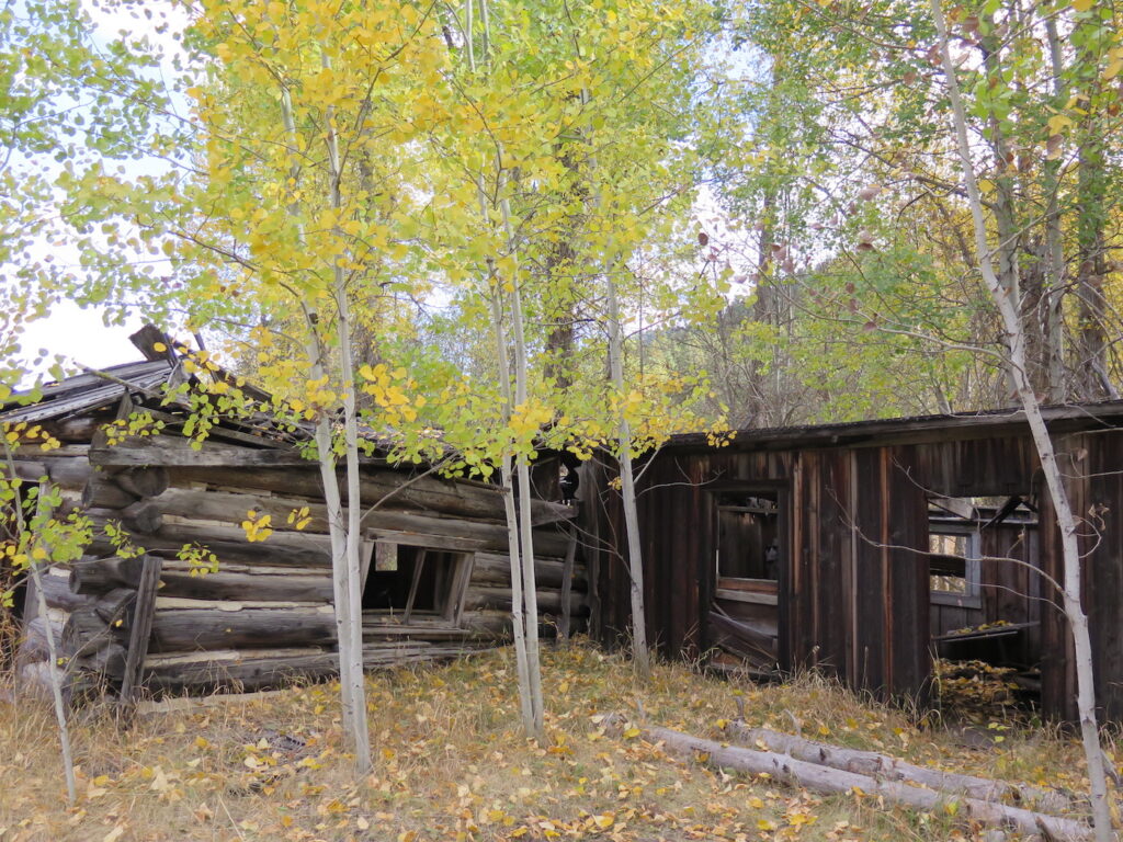
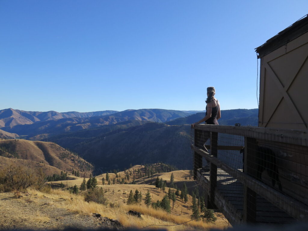
From Conconully, Funk Mountain is located about 7 miles north. The roads are in mostly good condition until the last few miles where steep, rutted, somewhat rocky terrain requires a high-clearance 4×4. Without one, you can park lower on the road and simply hike up, though places to park may be tough to find.
I was able to drive all the way, though the lookout stays hidden until you reach the very top of the summit. Excited to see the lookout trap door open, I thought I could possibly access the catwalk, though the poor condition of the lookout didn’t inspire me with a lot of confidence.
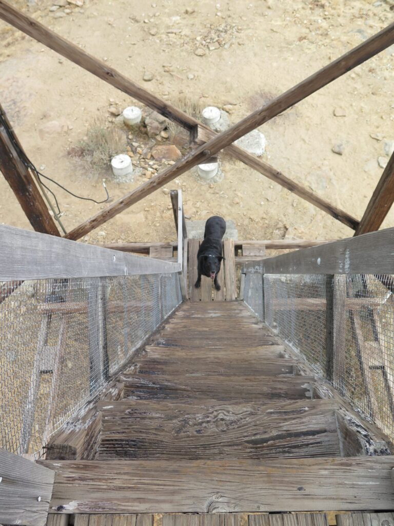
Somehow I clawed my way up the steep, rickety stairs to the very last step, which was broken and had a big “Danger. Keep Out” sign stapled to it. I’m sure the sign means to deter vandals, but it worked for me.
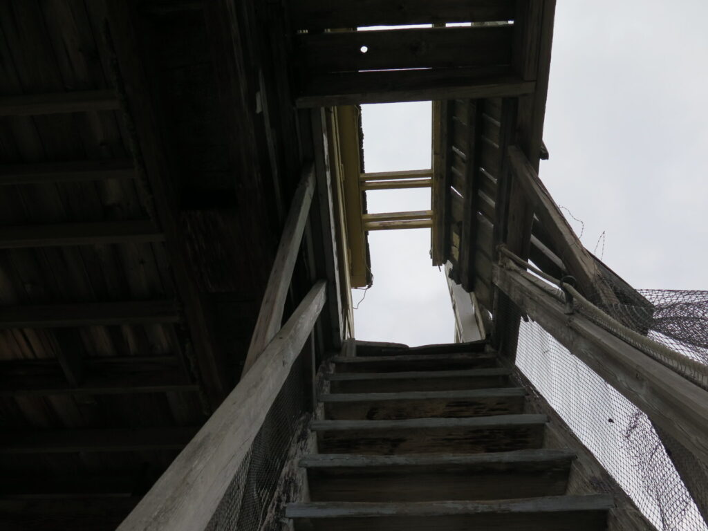
I decided one rung from the top that broken catwalk boards and dilapidated stairs just weren’t worth the risk. Funk Mountain earned my “least confidence-inspiring climb” award. Granted, I’m not a fan of stairs, especially precarious ones in questionable shape 40′ above the ground! Though the views to the north were slightly obscured by tall trees, Funk offered incredible views down to Conconully Lake and the surrounding area.

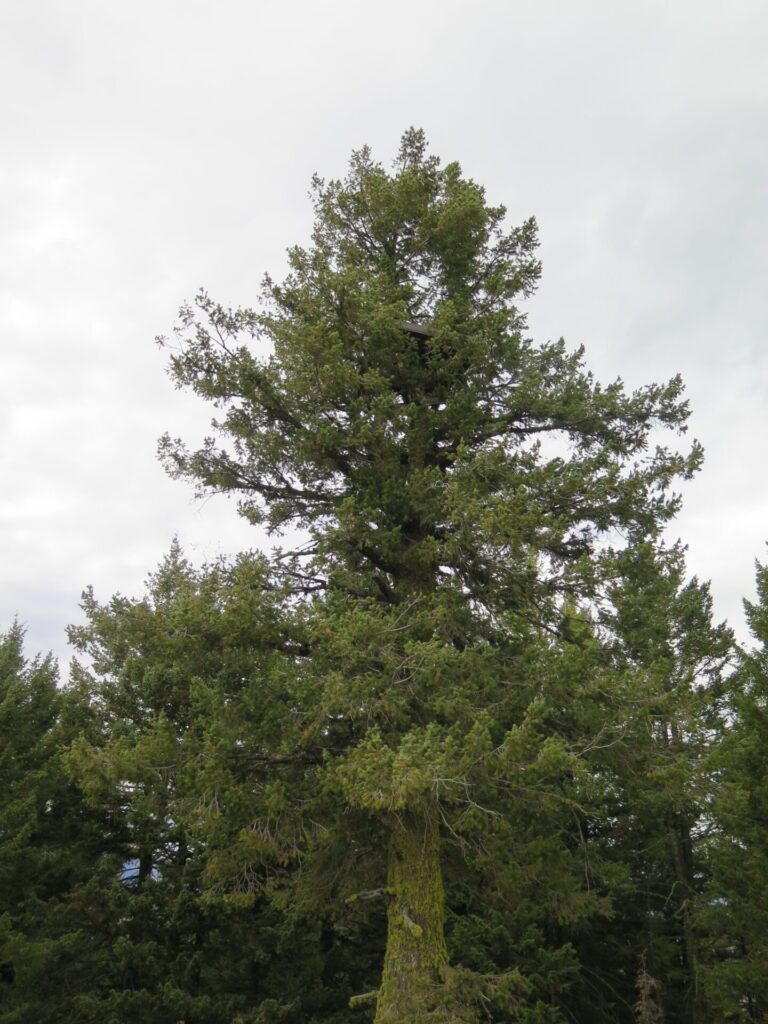
One of the neatest attractions of Funk Mountain is the old Crow’s Nest platform built in 1914 that remains in a large tree near the lookout. Incredibly, it’s somehow survived weather, fire, and all sorts of threats. It remains one of the oldest in the Northwest still in existence.
Mount Bonaparte: Lookout #27
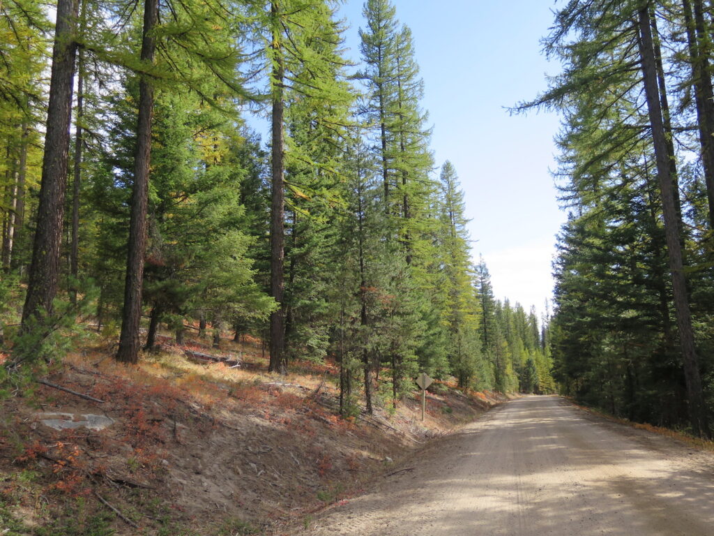
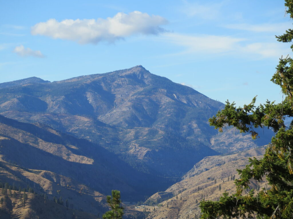
From Funk I headed onwards to Mount Bonaparte, with a few stops along the way to admire the beautiful scenery. Past Tonasket, the drive along NF-33 to Bonaparte is filled with larch trees and absolutely stunning!
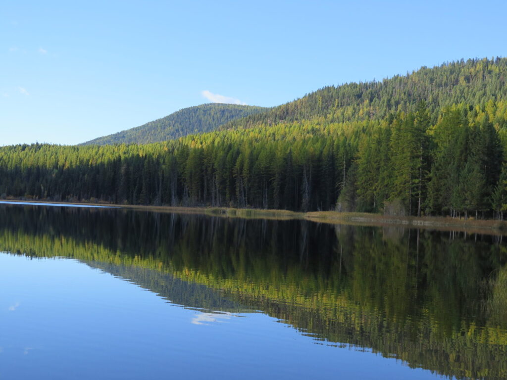
I had originally planned to camp at Bonaparte Campground but then stumbled upon a photo of nearby Lost Lake and on a whim, made it my destination. I couldn’t believe it when I pulled in around 5pm on a Friday and saw only a single groundskeeper who told me I had my pick of sites!
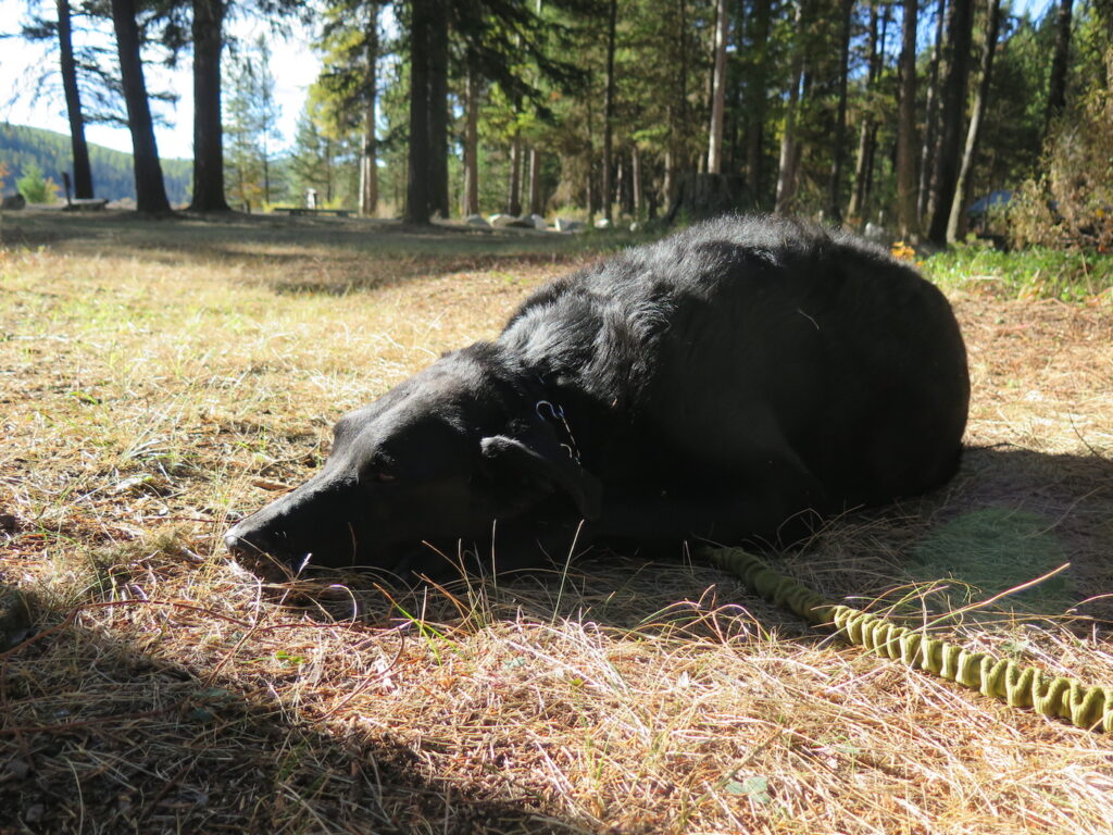
I grabbed a roomy tent spot near the water, far less private than other campsites, but given I was the only one around for miles, I wasn’t overly concerned! Jake dog and I had a beautifully quiet evening other than some strong wind gusts that came through overnight.
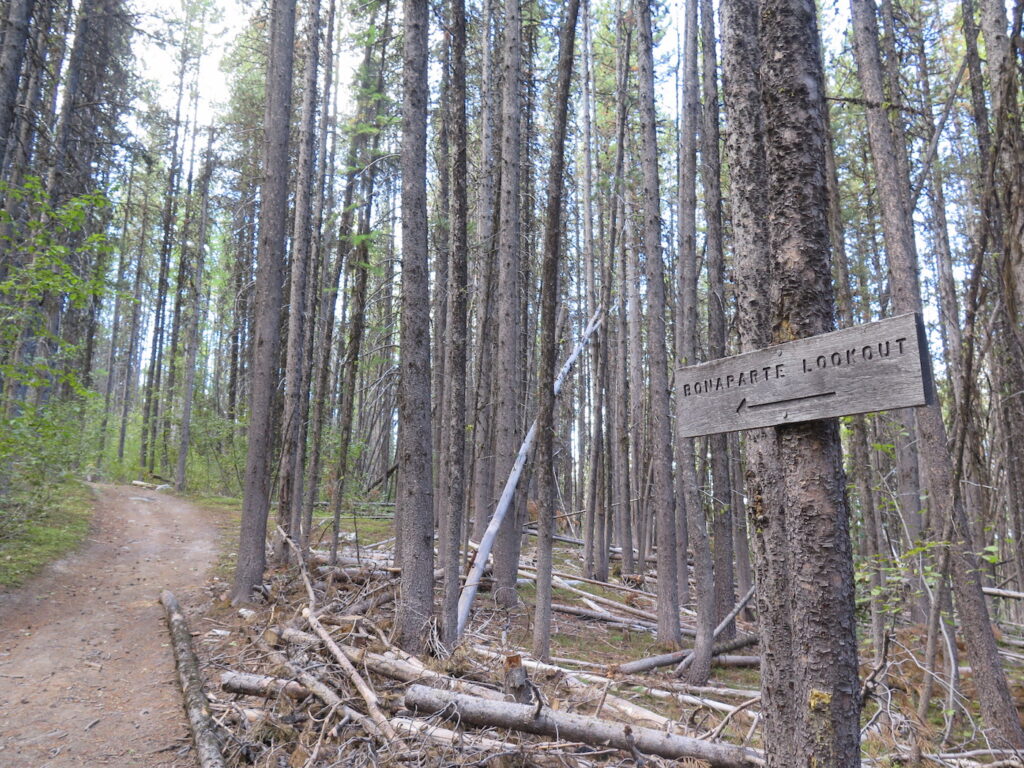
The next day we drove to a trailhead located on Mount Bonaparte’s north side with room for a few vehicles, easily manageable for most cars. The trail to the summit climbs steeply at first through woods with a few peek-a-boo views of the surrounding landscape before leveling into a nice steady climb all the way to the lookout.
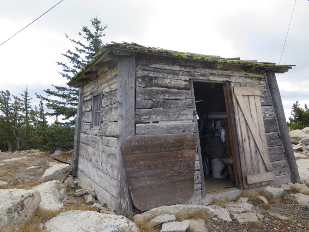
The trail isn’t the most remarkable, just a nice forest walk, until it reaches the top and awards you with big 360 views of the entire Okanogan! The original 1914 log cabin, the foundation of a wooden tower and cab from 1930, and the present tower built in 1961 all remain on the summit.
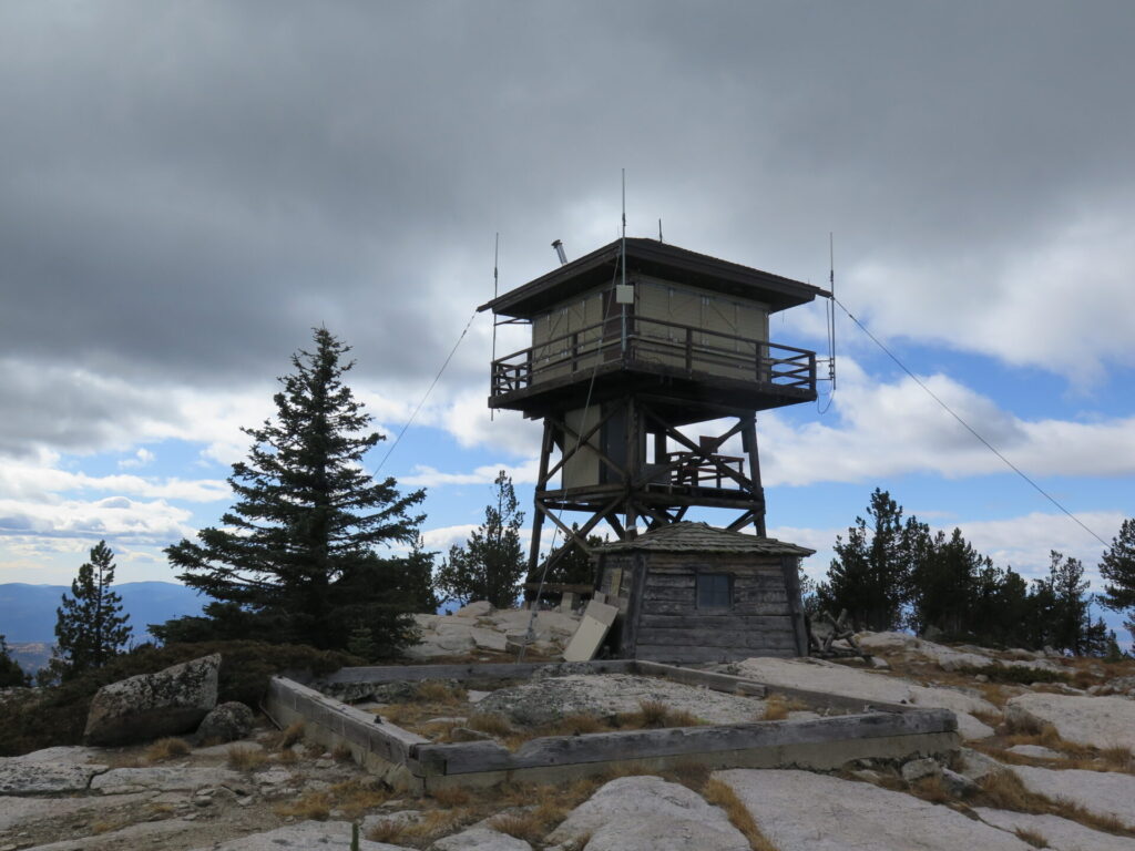
The cabin is listed on the National Register of Historic Places and the other two structures on the National Historic Lookout Register. It’s quite amazing to think about who has visited this place and what it’s seen over 100+ years.
I took a post-hike detour over to the Mount Bonaparte Lake Resort, which serves up a great menu of burgers, steaks, fish, and some of the best homemade pie and bread pudding I’ve ever had! It’s a fun rustic stop and the operators were super friendly folks.
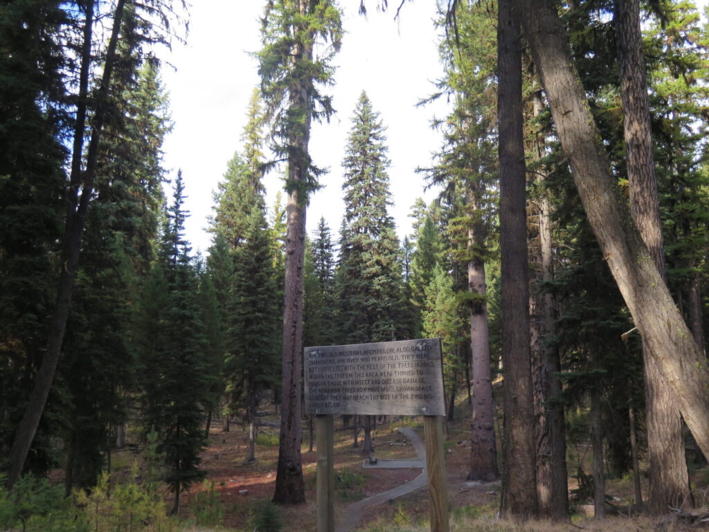
On my way back to Lost Lake I turned off at the Big Tree Botanical Area which turned into the highlight of my trip! An easy trail winds through towering larch trees until you turn a corner and find yourself staring straight up at two 900+ year old monstrous larches. They’re incredible!! If you ever find yourself in the area, it’s a must see!
That night I shared the campground with two RVs, one owned by a friendly gentleman who offered me free coffee the next morning. He was in the area with friends for his 14th straight year of hunting and gave me a huge list of great local attractions. I admit I was reluctant to pack up. There was still too much to explore here! I’ll definitely be back again, that’s for sure!
Bodie Ghost Town
When I left Bonaparte, I had a plan to continue east to both Cornell and Tunk Lookouts, but I first had to make a detour to visit the Bodie Ghost Town 12 miles south of the Canadian border outside the town of Wauconda. I first read about it nearly 10 years ago and it’s long been on my list of places to see, especially since I have a fascination for old history. I knew I might not ever get this close again and couldn’t pass up the opportunity! It was so great in fact, I wrote a separate post all about it.
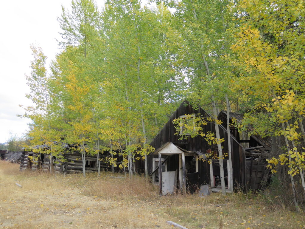
The first town of Bodie, established in 1896 about a mile south of the current location, contained a general store, restaurant, homes, livery barn, and blacksmith shop. The discovery of gold near the current location caused a relocation of the town as well as a sawmill, the reason why nearly all of the buildings are made from cut lumber.
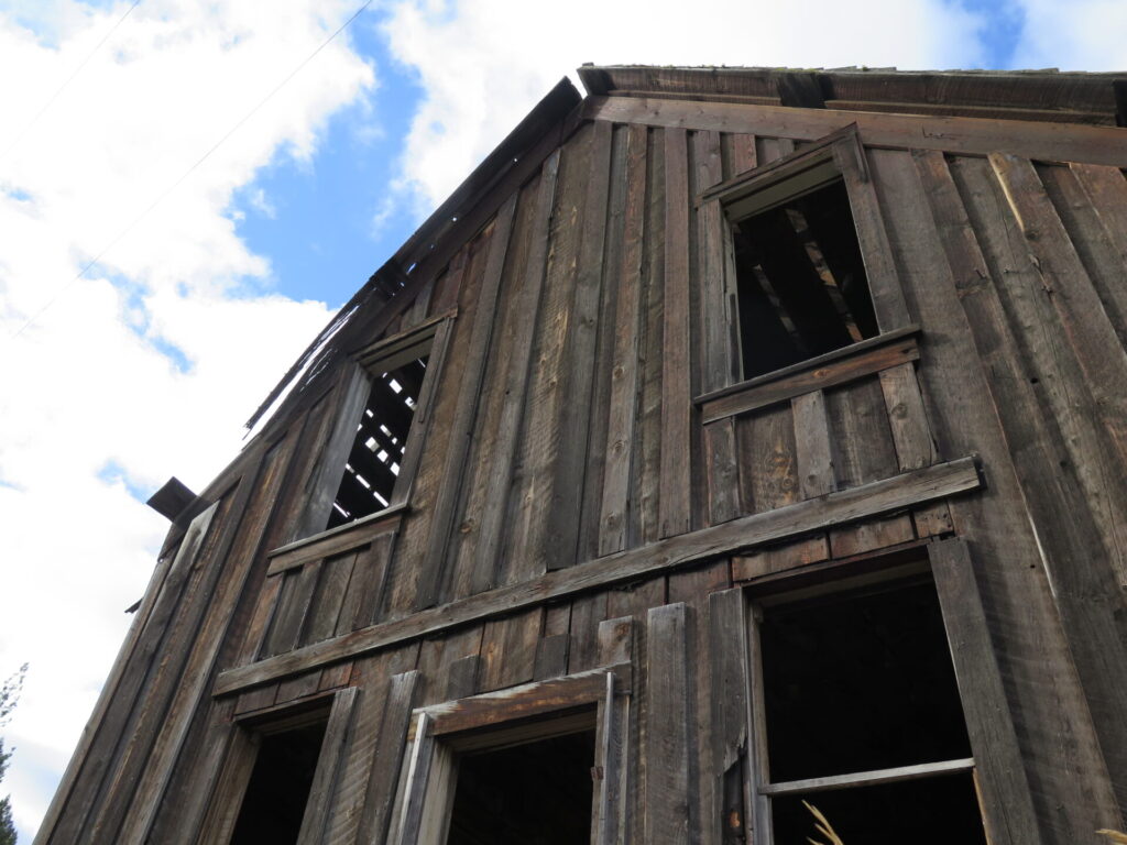
From 1902 until 1911, the Wrigley brothers (yep, the chewing gum brothers!) owned and operated the Bodie gold mine. It closed in 1917, then opened again in 1934 for several years until finally closing for good in 1944. Between 1903 and 1940, Bodie produced $1,300,000 in gold. Cha-ching!!
Although Bodie is a bit far from most things, it’s absolutely worth a visit and there’s no telling how much longer it’ll be before this ghost town truly becomes a ghost. I spent more than an hour walking amongst the ruins, taking photos, and wondering what on earth it must have been like to have been here in the early 1900s. I’m so glad I took the detour!
I left Bodie headed for Cornell Lookout but slowly realized that I’d be making a big gamble with my current fuel level and a rather long adventure onto more forest service roads. I made a reluctant decision to save Cornell and Tunk for another day, opting instead to head straight to Tonasket for a re-fuel and lunch. Next time I do some off-road exploring in the Okanogan I will definitely bring an extra fuel canister!
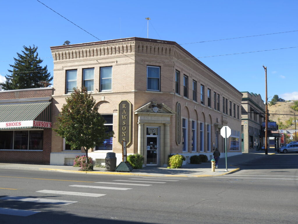
Okanogan Post Office: Lookout #28
On my way home I made a quick stop at the old Okanogan Post Office, probably the oddest lookout I’ve visited yet! Historical records prove that sometime in the 1930s, this building was a post office with a fire lookout on the top.
Ray Kresek, author of “Fire Lookouts of the Northwest” and resident lookout expert, found the building listed in the Structure Inventory Book at the Okanogan National Forest supervisor’s office when doing research. Lookout enthusiast Eric Willhite has the following historical info on his website: The inventory of 28 lookouts on the Chelan (Okanogan) National Forest between 1921 and 1957 had an entry that read: “Okanogan Post Office Building had a lookout… 1930.”
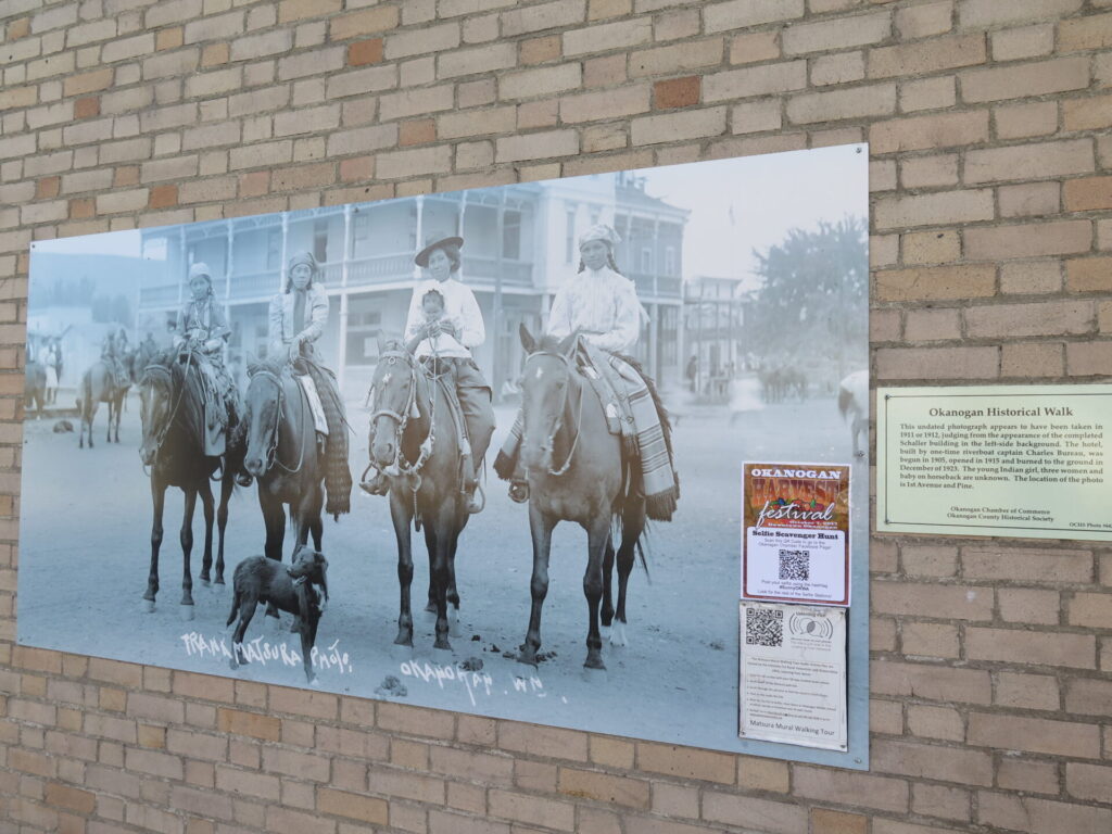
I pulled into town, snapped a few photos, and admired some of the historical photos hanging on street corners. Lookout #28 was complete!
Steliko Peak: Lookout #29
I made Steliko Lookout, located just west of Highway 97 outside the town of Entiat, my final stop on the journey home. I had plans to visit this lookout earlier in the year but ran out of daylight, so I couldn’t really pass it by this time.
Most of the road to the lookout is manageable but narrow. About a half mile from the top I encountered several inches of loose, silty dirt, so I threw the Jeep into 4-high and didn’t take my foot off the gas. Unfortunately, I realized a little too late my manual windows were all rolled down, so Jake dog and I ended up absolutely covered in dirt!! Ah, the reasons I drive an old Jeep!
I’ve heard conditions vary on this road, but it’s an easy hike if you can’t drive all the way, so long as you can find somewhere to pull off and park. The narrow road doesn’t give you a lot of options.
From the lookout the views are expansive! I could even see Tyee and Sugarloaf, which I had visited just two weeks prior. Records suggest Steliko was used as a lookout as early as 1925. Built in 1947, the current structure is still used from time to time for fire detection and close enough to civilization to be wired for electricity.
All in all, I spent 6 days in the Okanogan, drove just under 900 miles, visited 7 new lookouts, re-visited 2 old ones, and made a detour to Bodie Ghost Town. The Okanogan impresses me every time with its wide open spaces, big skies, and incredible solitude and beauty. This was an amazing tour and I’m already planning another trip back soon for more lookout bagging!