The first weekend after moving back to the Methow, Fawn Peak caught my attention. It’s right in my own backyard here in Mazama and it’s also one of the 200 most prominent mountains in Washington, #158 to be exact, with a clean prominence of 1,897′.
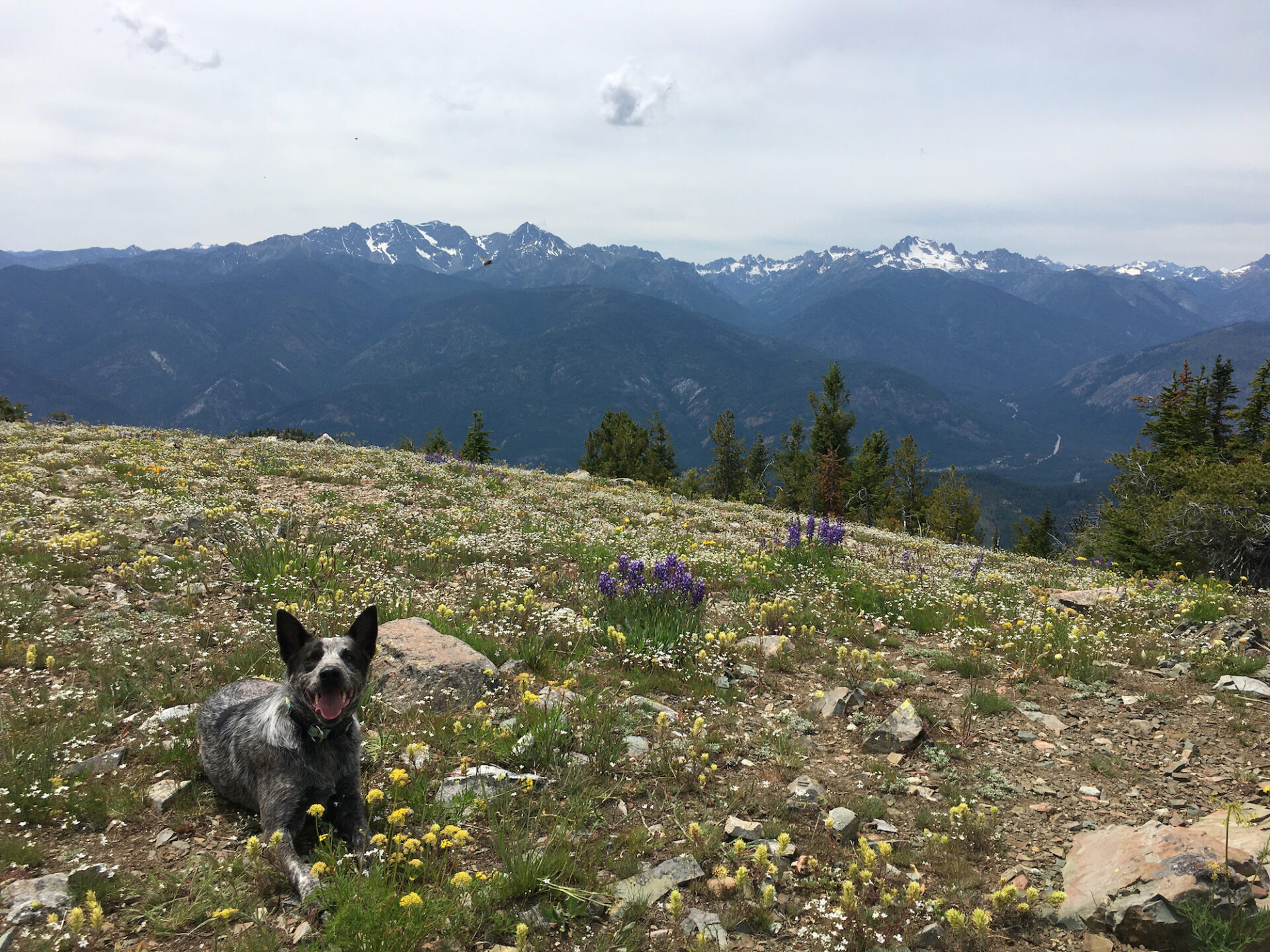
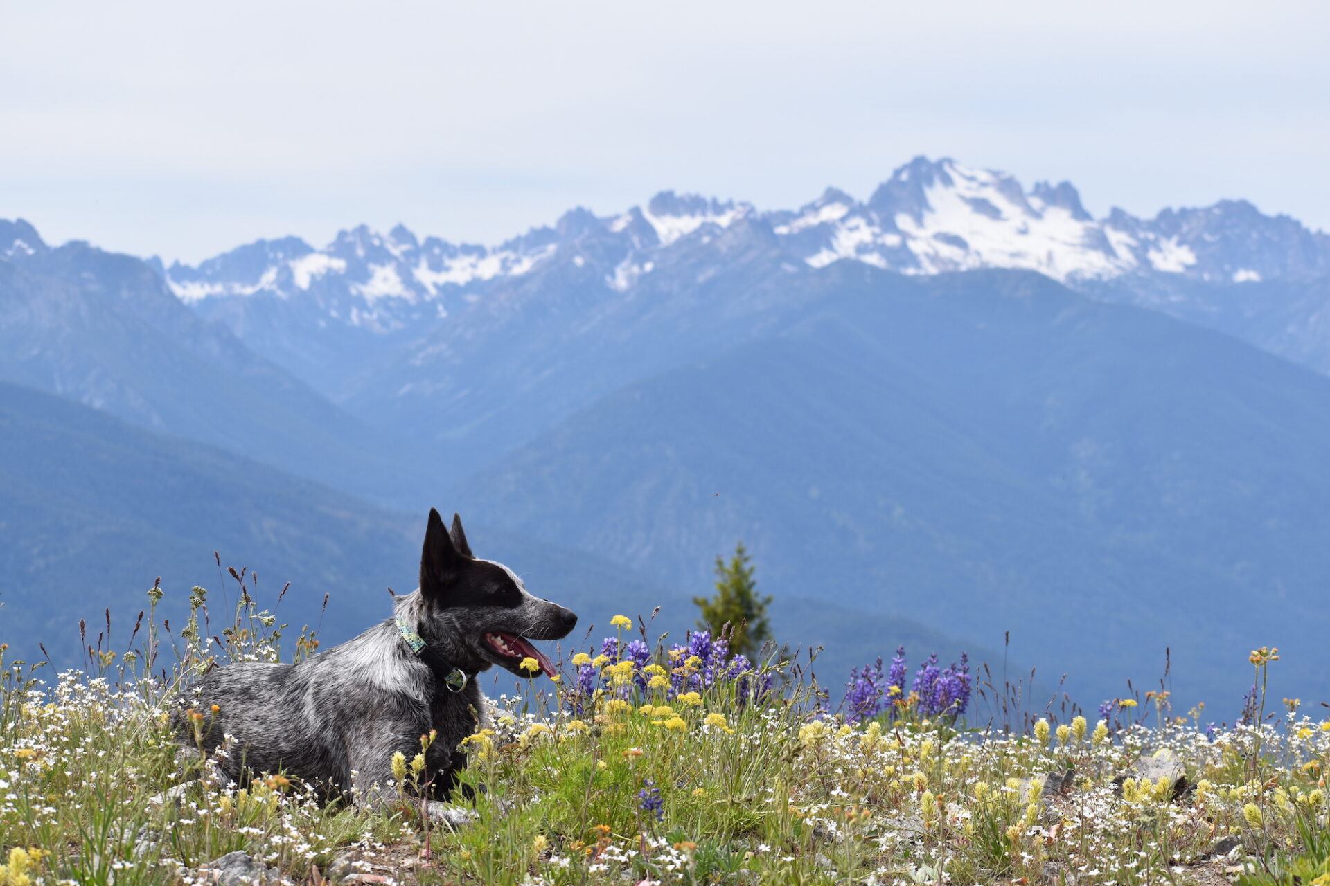
I saw that some fellow peakbaggers I know posted positive trip reports on it a few years back, so I set off with Hudson on a Saturday to check it out. Cross country peakbagging to lesser known places is a great weekend activity for social distancing.
The most straightforward approach seemed to be up Fawn’s south ridge from a saddle high up on Forest Road 300. The quickest way there is to follow West Fawn Creek uphill for about 3 miles off Goat Creek Road in Mazama to the junction with FR-300. The initial part of FR-300 was pretty rough and likely requires high clearance and/or 4-wheel drive.
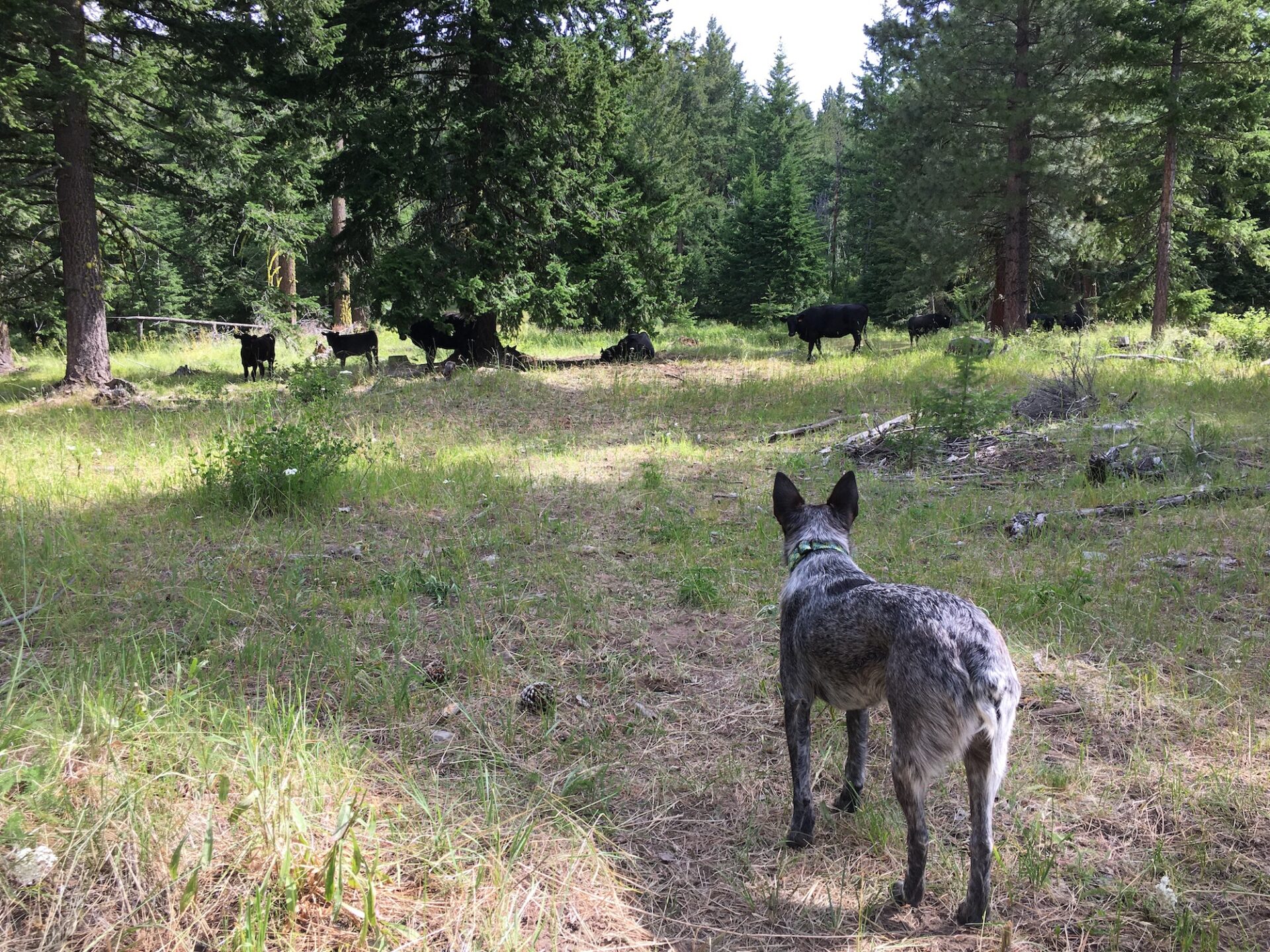
I parked at an open saddle before FR-300 started to descend, across from a meadow at the base of Fawn’s long ridge. There are a lot of cow trails here, and usually cows that go with them, so it’s pretty easy to find a path across the meadow. From there, I started the climb up Fawn’s south ridge.
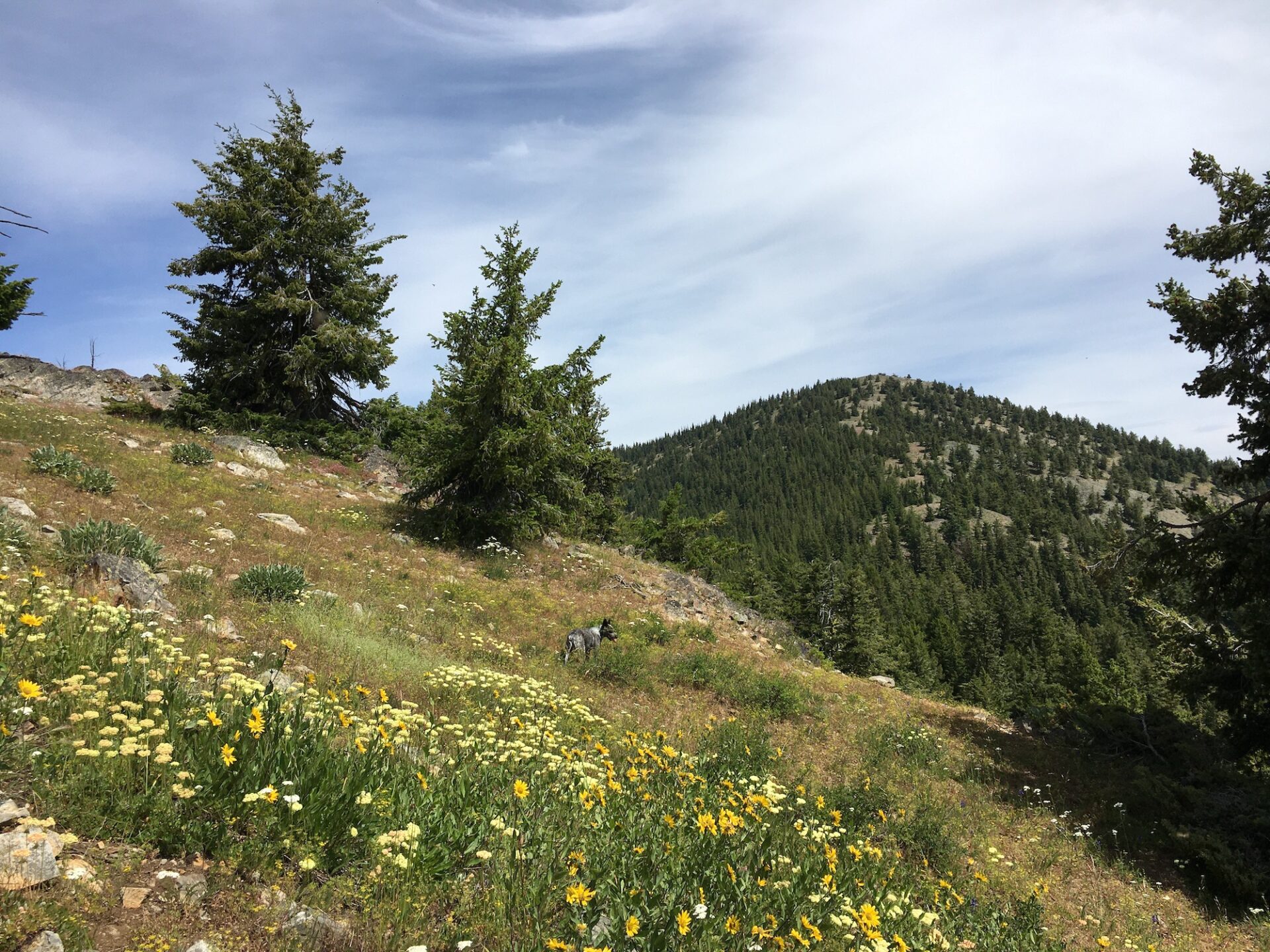
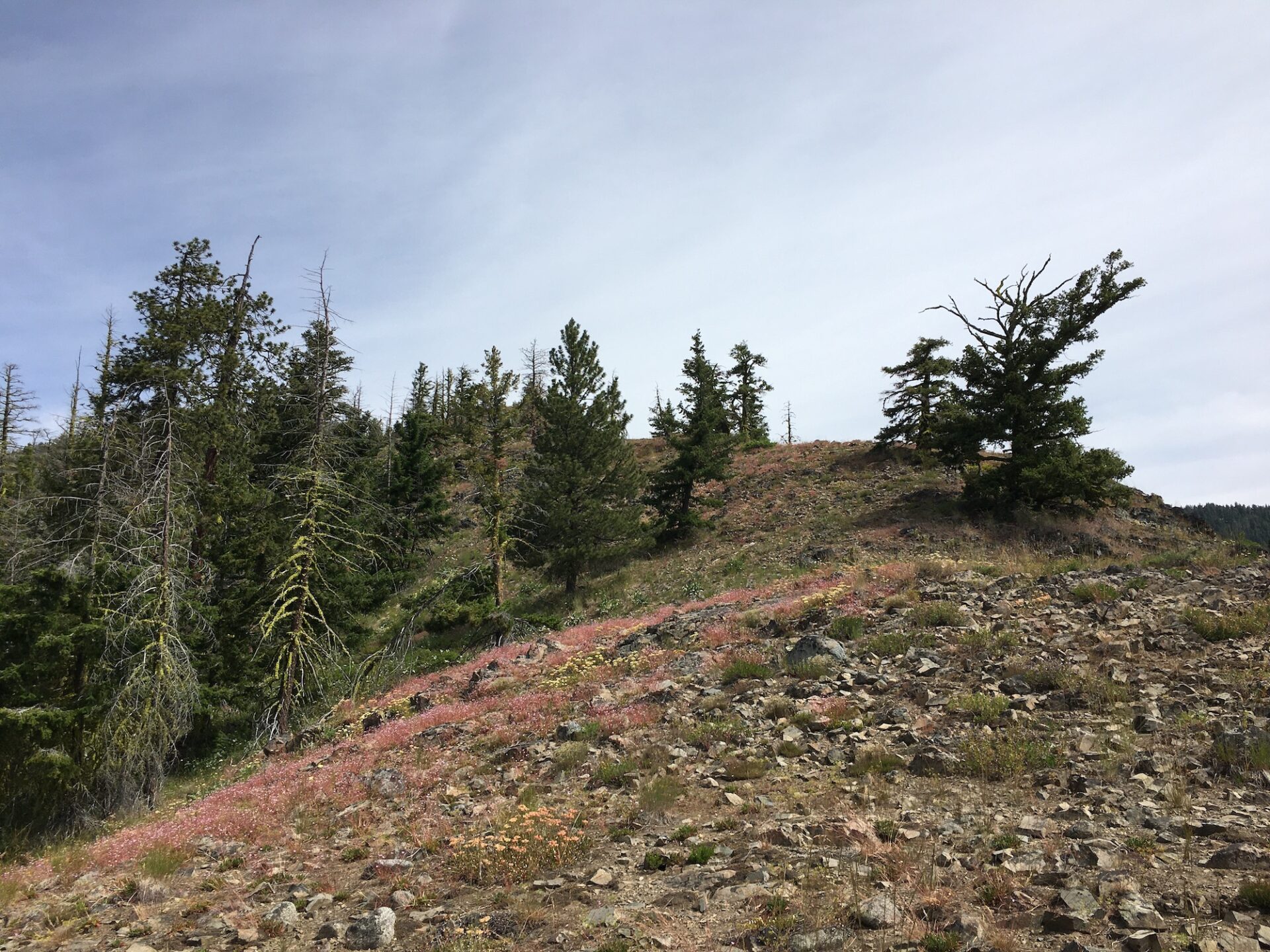
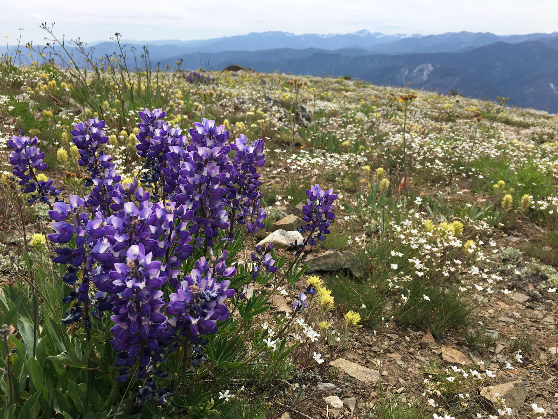
The cross country journey is a really delightful one and it doesn’t take long to get some big views. The route crosses through very open country with mostly flowers, grass, and rocks and it’s easy to avoid the shrubs and trees by staying on the ridge. Fawn’s ridge is quite long, traversing over two false summits and taking a few bends along the way. The false summits can block the view on the way up so it’s useful to have a map or GPS for this one.
The route seemed the toughest at the beginning, a few hundred feet above the meadow. From about 4,600′ to just over 5,000′, I had to climb steeply up a cliff/rock band, but it didn’t require scrambling and the path up was easy to navigate. Trekking poles were very useful and I did use my hands a few times, but mostly because I have terrible knees!
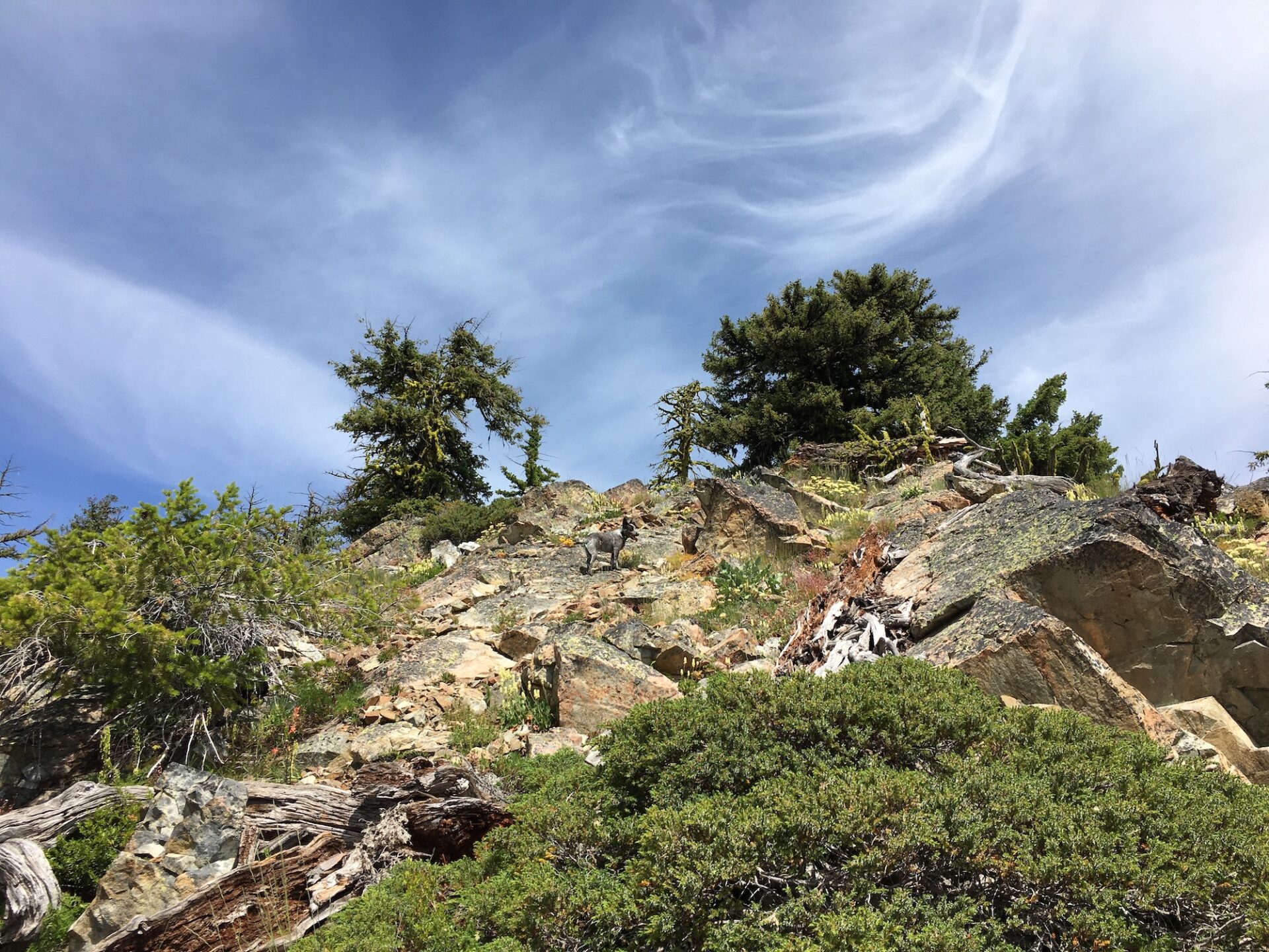
Once over the top of the rocks, the route heads generally due north along the ridge before bending a bit westerly to the false summit around 5,950′. From there, the ridge takes an east turn and Fawn Peak is a prominent target off to the right. A small dip in the ridge line requires a descent of maybe 100′ before finally starting up the final 700′ climb to the summit.

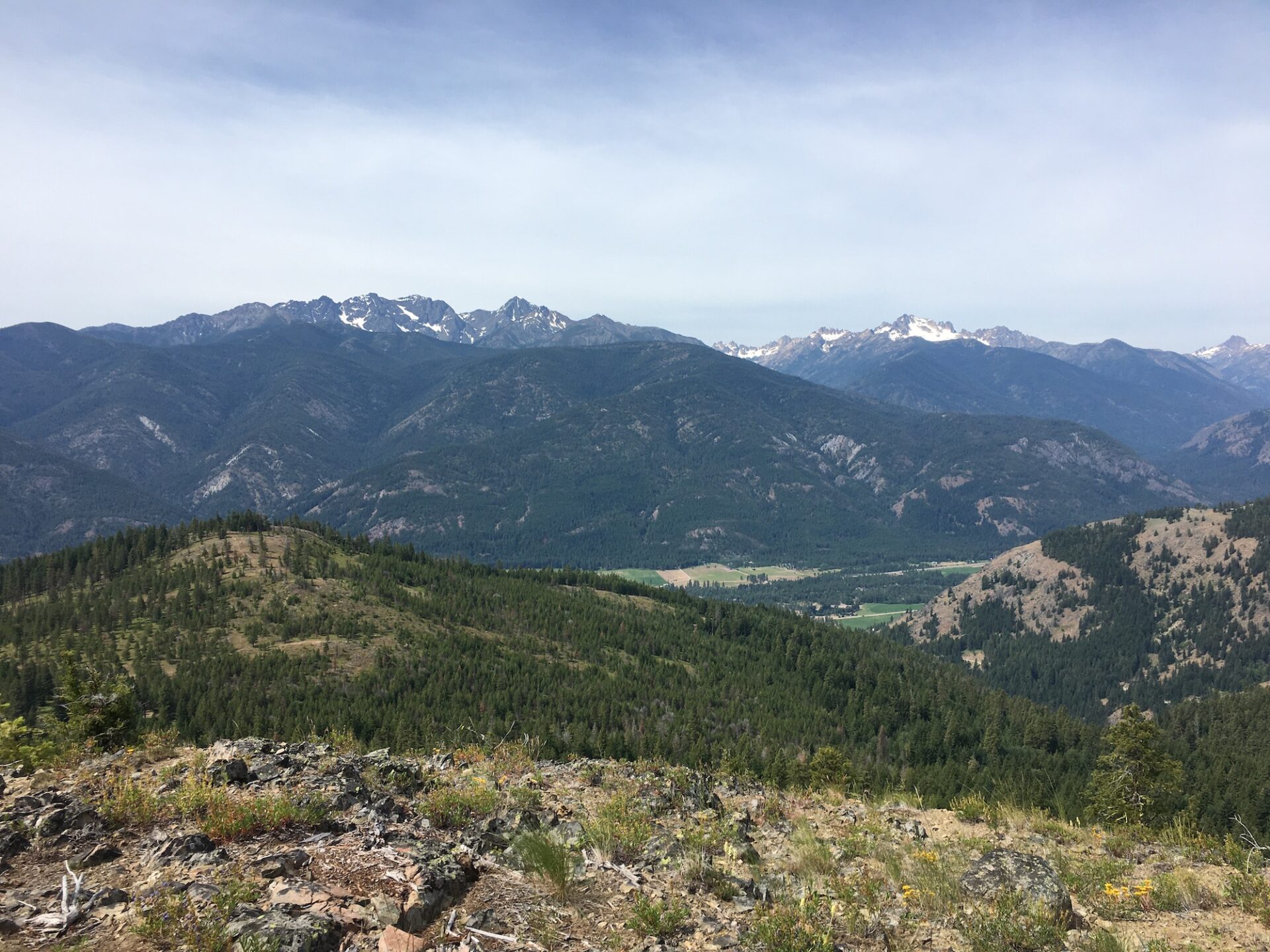
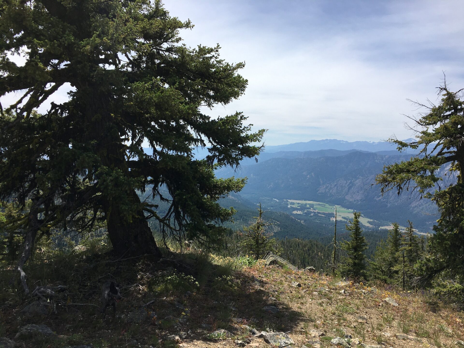
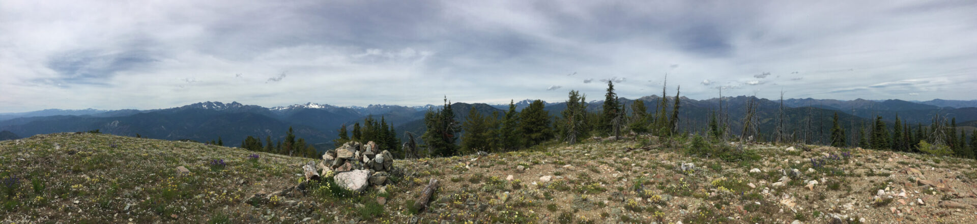
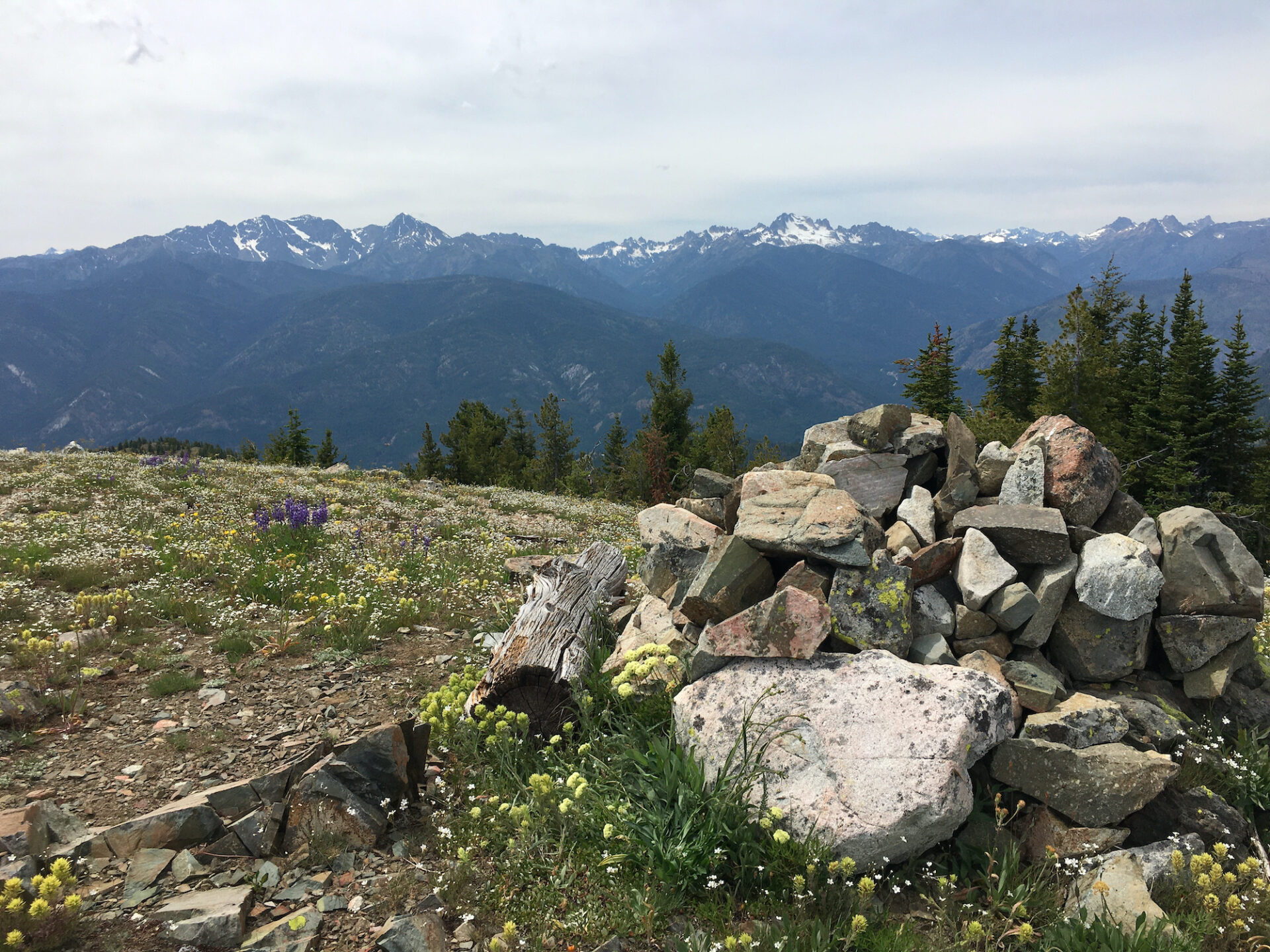
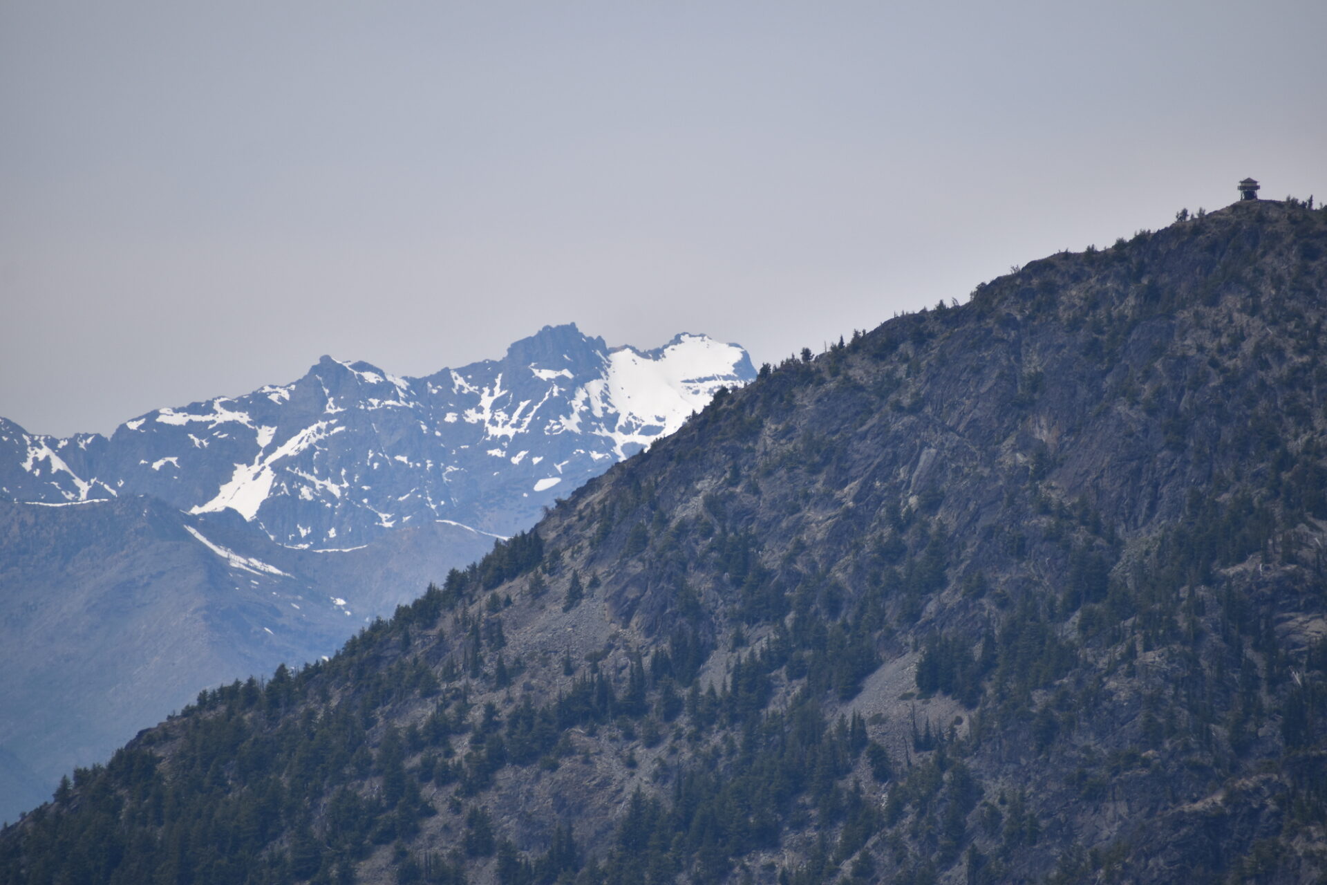
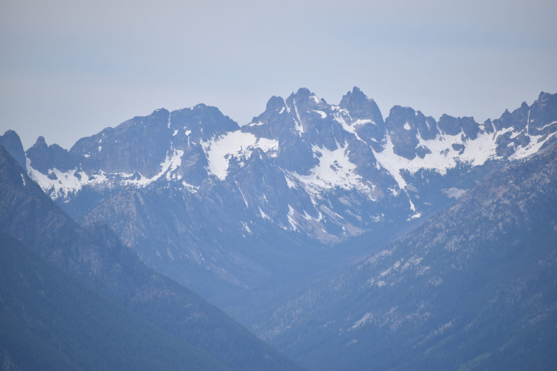
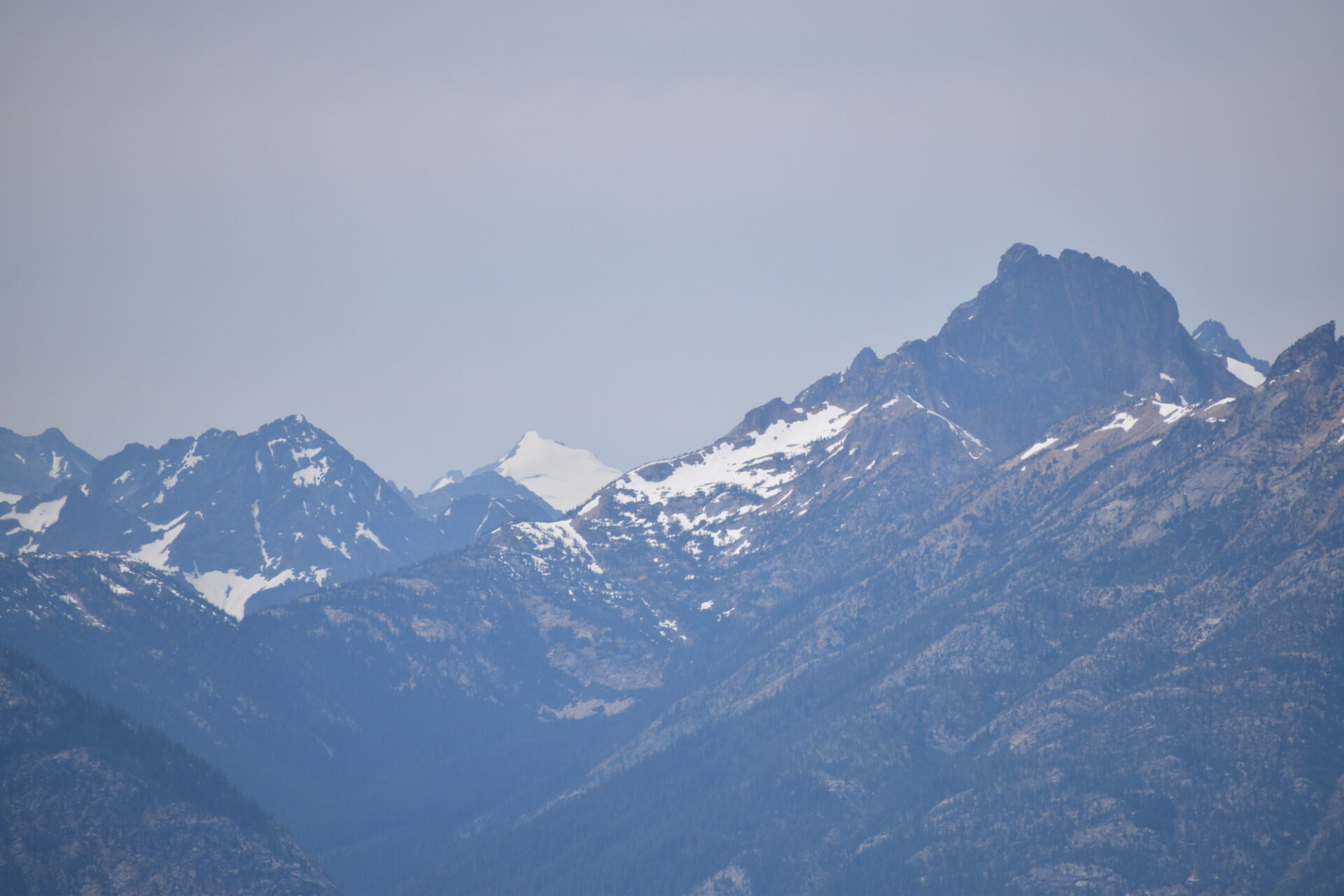
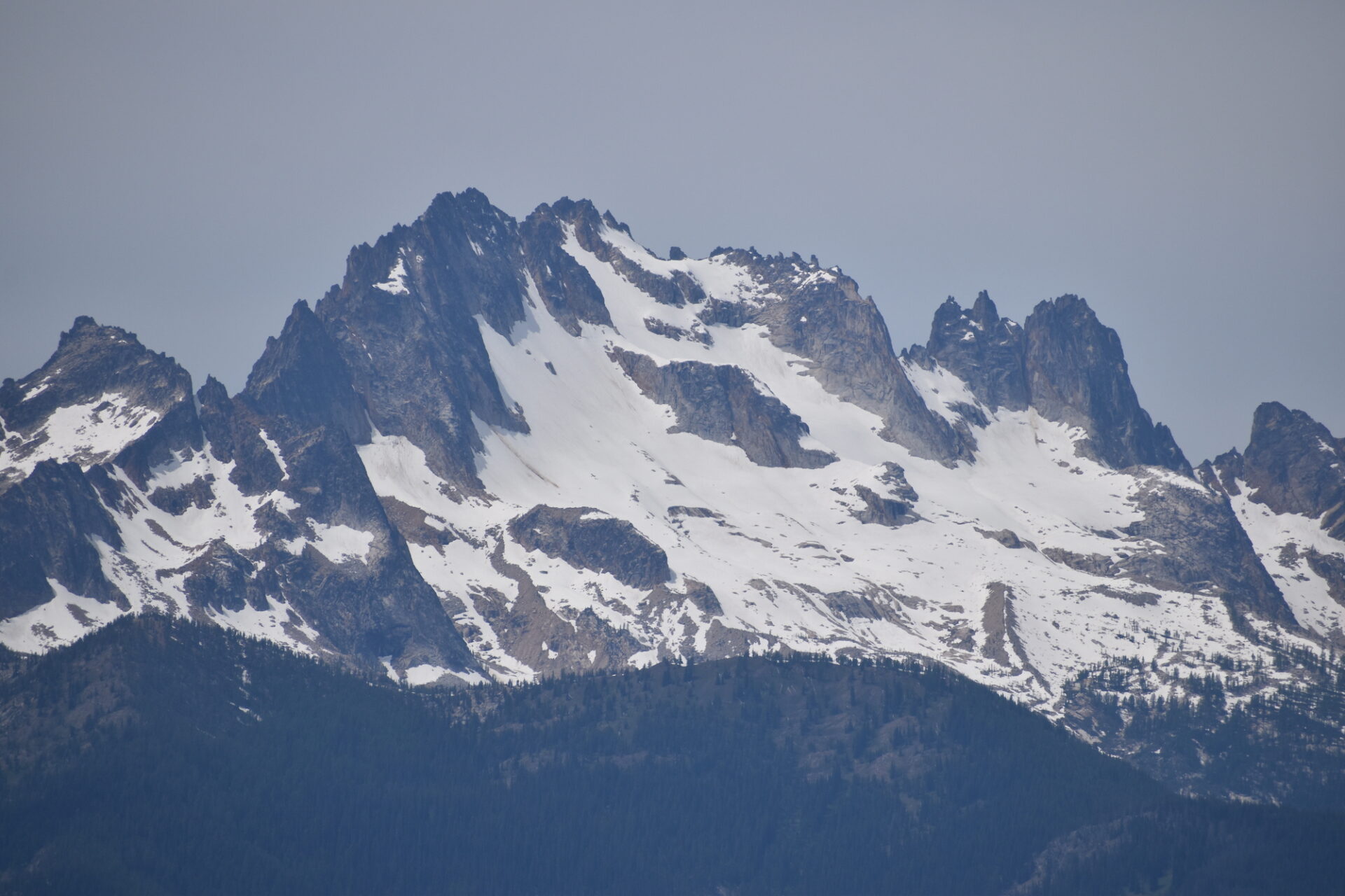
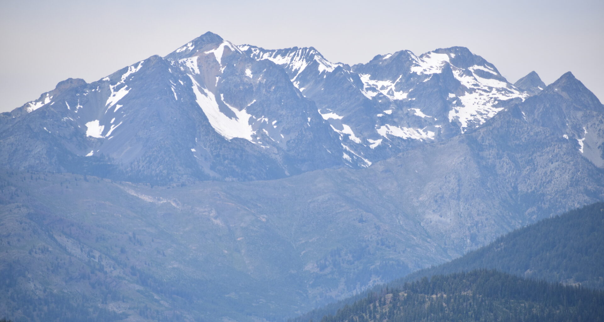
The summit is broad and flat, with a huge rock cairn and magnificent, wide open 360 views of the Pasayten, the Gardners, Silver Star, and Goat Peak fire lookout. I would imagine if Goat Peak weren’t so close, Fawn might have been considered as a fire lookout site. It’s a spectacular perch!
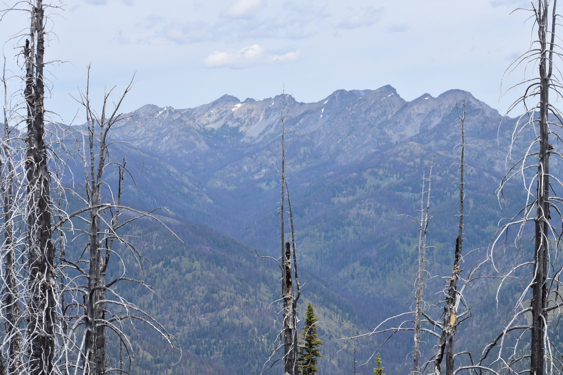
It’s likely possible to follow Fawn’s ridge to the northwest and down to the old Montana mines, but the route looked quite difficult with a lot of burned out trees and snags from past fires. That might have to be an objective for another day. Maybe.
Fawn is a really stunning ridge line cross country route with big rewards. Hudson and I might have even kicked back for a nap up there. One-way from the saddle on FR-300, the climb up is just under 2.5 miles with about 2,500′ gain. It’ll require some climbing legs but it’s still a very straightforward route and approachable for most. I highly recommend it!
Date Climbed: 7/11/20
Distance (RT): 5 miles
Elevation Gain: 2,500′
Summit Elevation: 6,577′