My dad is the one responsible for first introducing me to the beautiful Tiffany Highlands area about 20 miles northeast of Winthrop. A consummate peakbagger and map hound, my dad found it on a map during a family trip back in 2012. I enjoyed that outing so much that I’ve been back to Tiffany many times over the years.

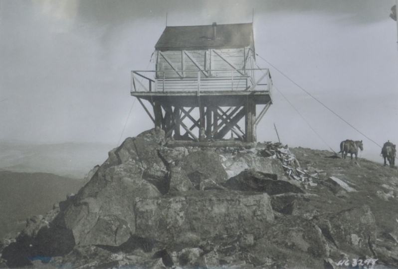
At 8,242′, Tiffany is one of the highest, easily hikeable summits in the Okanogan and it’s also a former fire lookout site. An 8 foot tall gable-roofed L-4 cab sat atop its summit from 1931-1953.
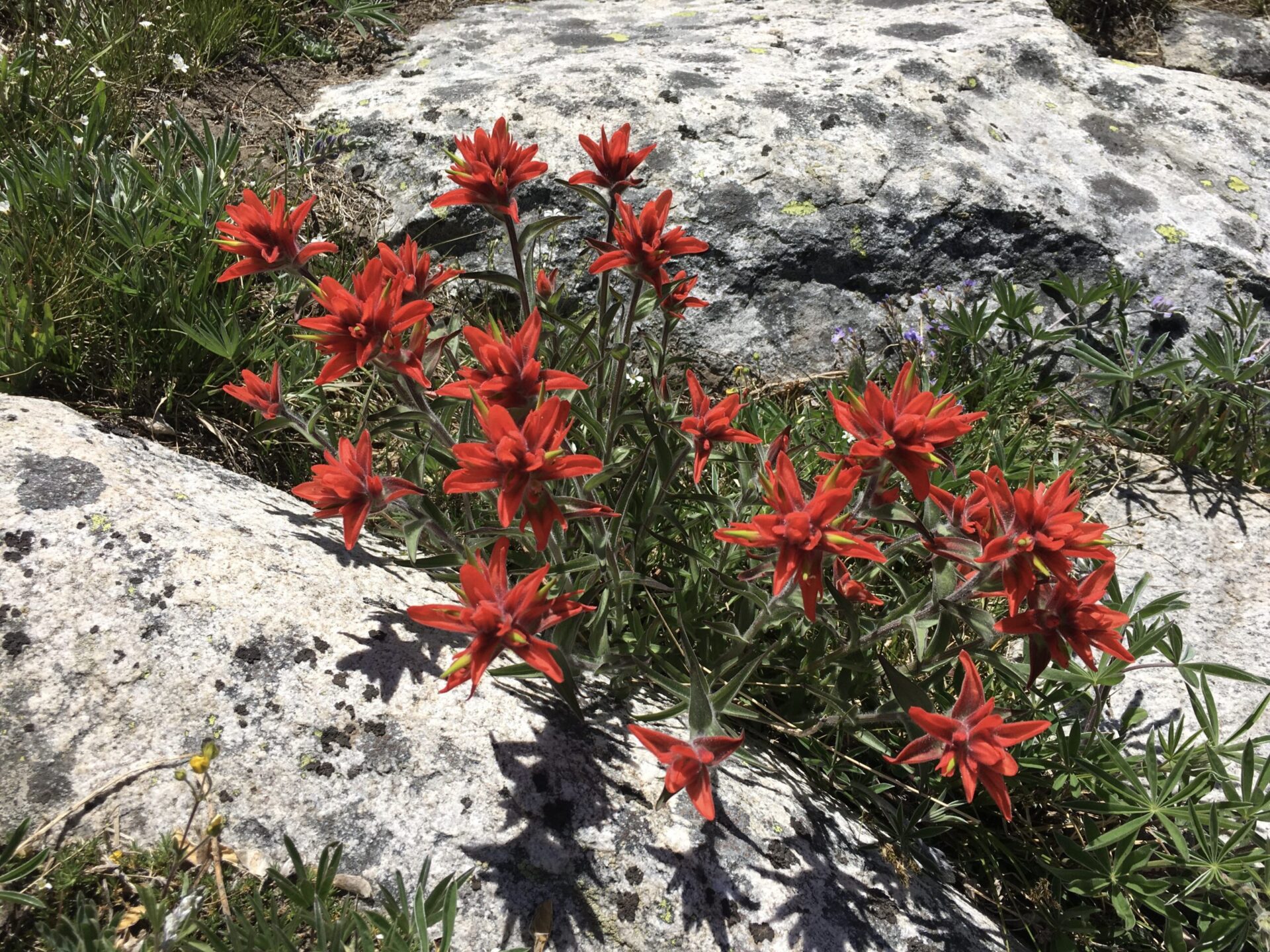
During summer, Tiffany’s alpine tundra transforms into a dazzling array of wildflowers and it’s a great place for big views, sprawling terrain, and a little bit of altitude. Surrounding Tiffany are also some other notable summits, namely Rock Peak (7,971′) and Middle Tiffany (7,967′), which are both on Washington’s list of top 200 most prominent peaks. Clark Peak (7,890′) to the southeast is also a worthy objective, with an impressively steep north face. It shares a ridge with Old Baldy, Starvation, and McKay.

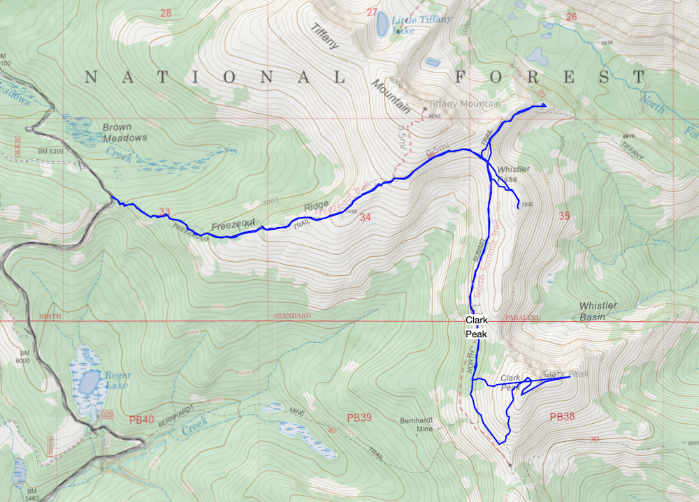
I hadn’t been to Tiffany in years, so early last week with a Monday off, I concocted an ambitious idea to do a 3 peak slam, connecting Clark, Rock, and Middle Tiffany. I considered a loop route, but I’m not a huge fan of dusty road hiking. Instead I put together a 12-13 mile figure 8 out and back route.
I don’t want to ruin the story, but let’s simply say I was indeed overly ambitious. With both hot weather and a late start, I only pulled off Clark, but hey, it was still a fantastic day! Instead of killing myself, I enjoyed an easy hike with lots of summit lounging. No complaints about that ever.
There are a few routes to Clark, the most direct being on the Bernhardt Mine Trail south of Freezeout Ridge. The trailhead is well marked but the trail itself isn’t well traveled. Since all of my recent outings have been cross country route finders, I decided instead to go the longer way on the the main Freezeout Ridge. I really wanted to appreciate a good trail!
Though the drive to Freezeout is only 20 miles from Winthrop, it’s pretty slow thanks to a lot of washboards. I finally arrived at the trailhead at noon, realizing my late start wasn’t helping my chances at pulling off the loop. I chose to summit Clark first, then play it by ear. With temps in the 90s down low in the Valley, it was certainly cooler at 7,000′ but it only took a few steps under the blazing sun to feel like it was 100°.
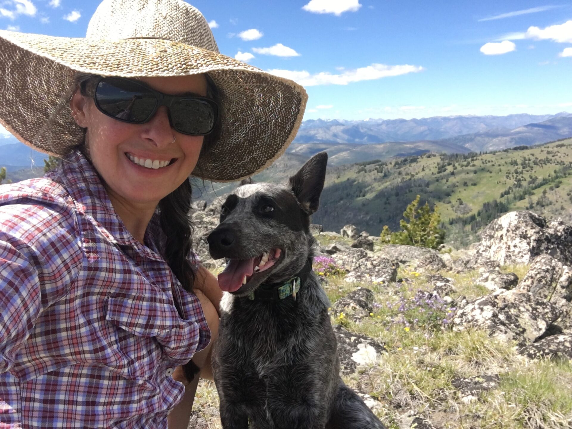
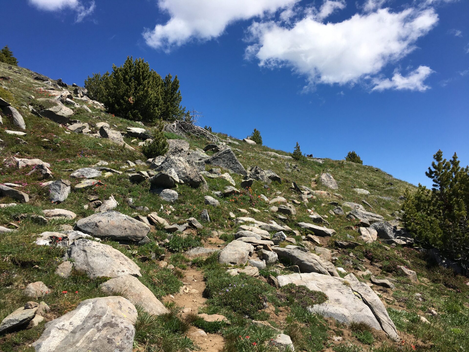
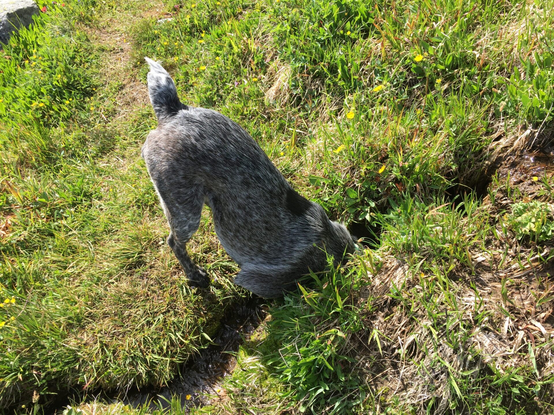
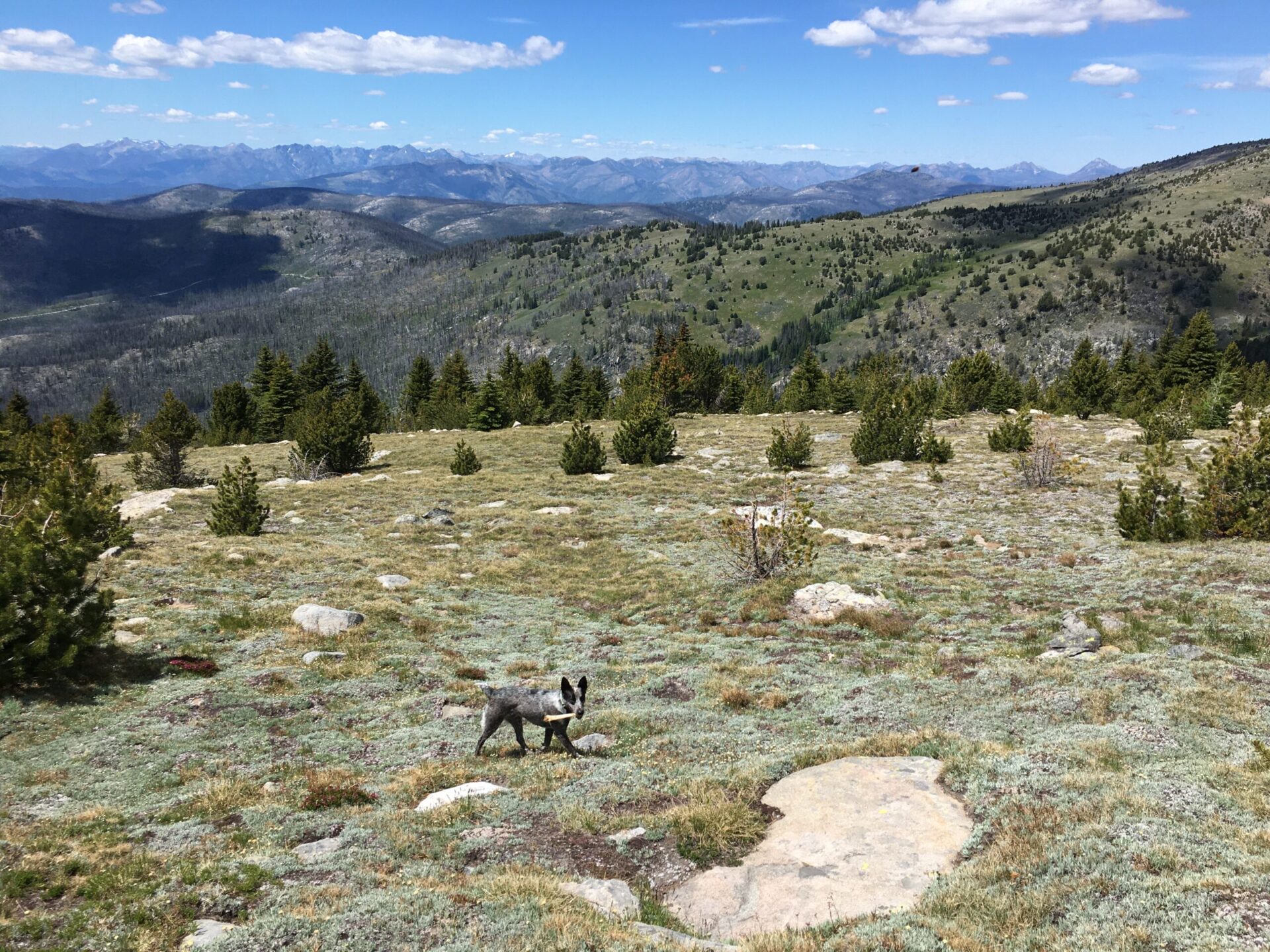
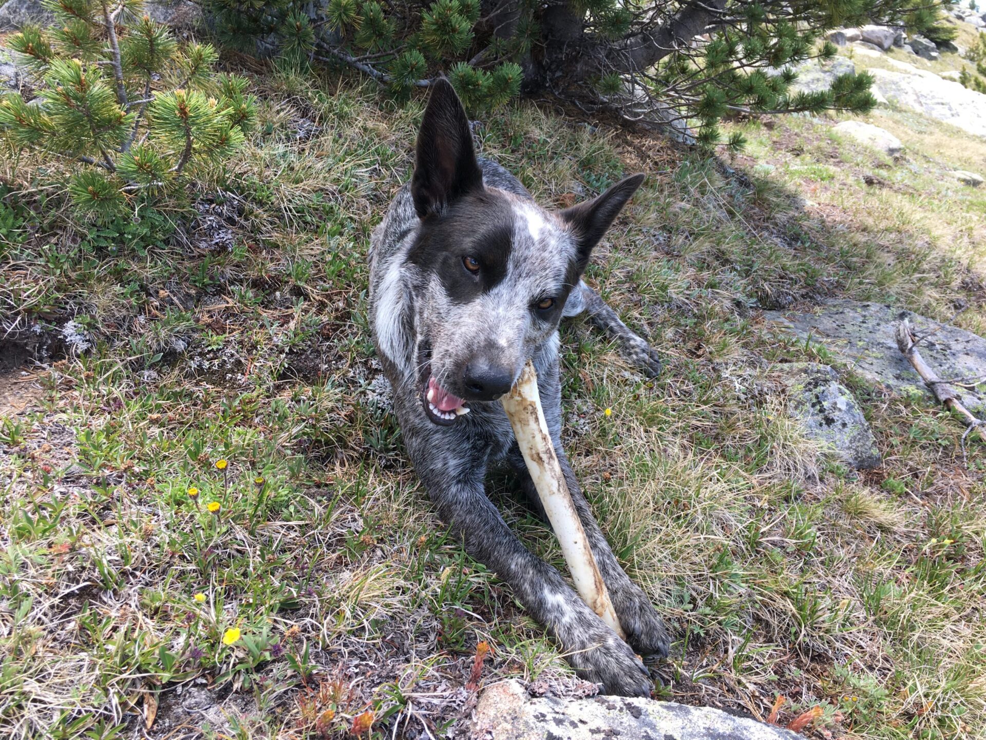
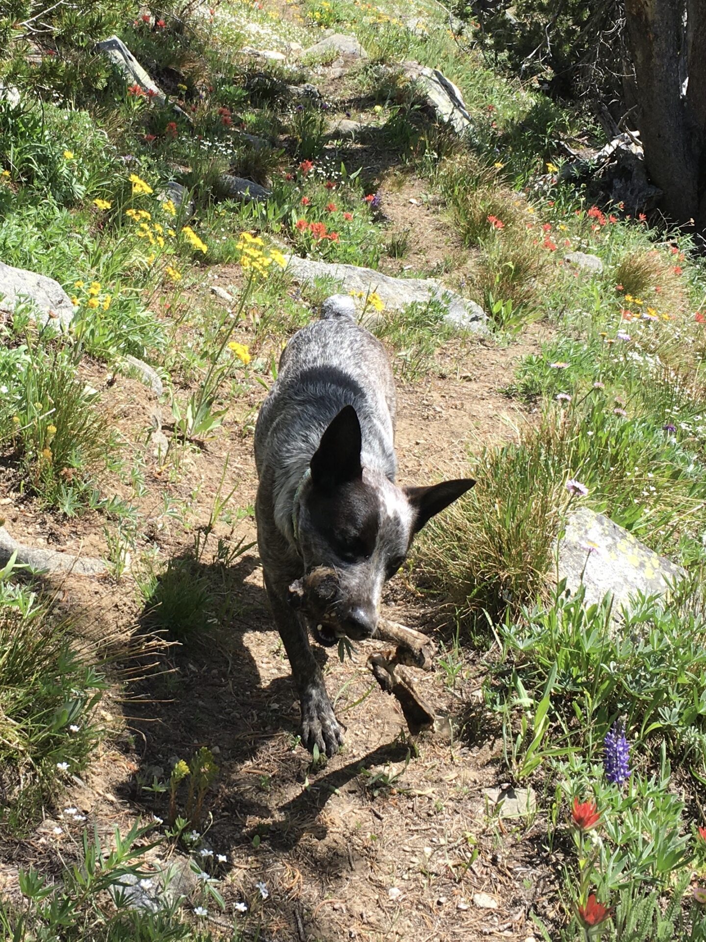
The Freezeout Trail starts with a climb up through a burned forest which is the toughest part of the trail. At a wee bit of altitude under the boiling sun I indeed felt very slow. I blame my luxurious picnic daypack. I was carrying 4 liters of water, a water filter, my camp stove for a hot lunch, and various other extras. Hudson; however, bounded along as usual, until he finally realized the heat and eventually sought shelter under the trees and my ridiculously big sun hat.
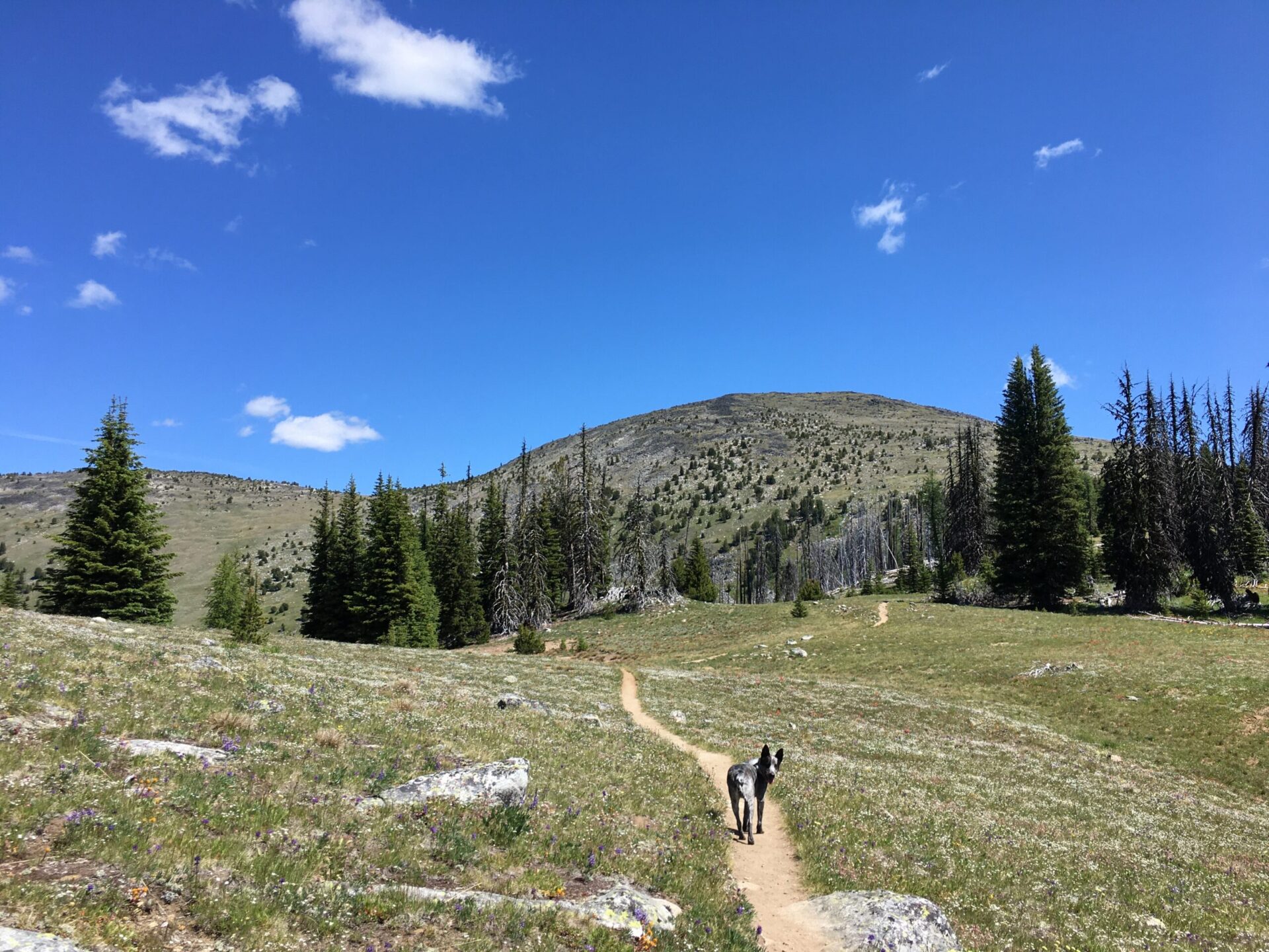
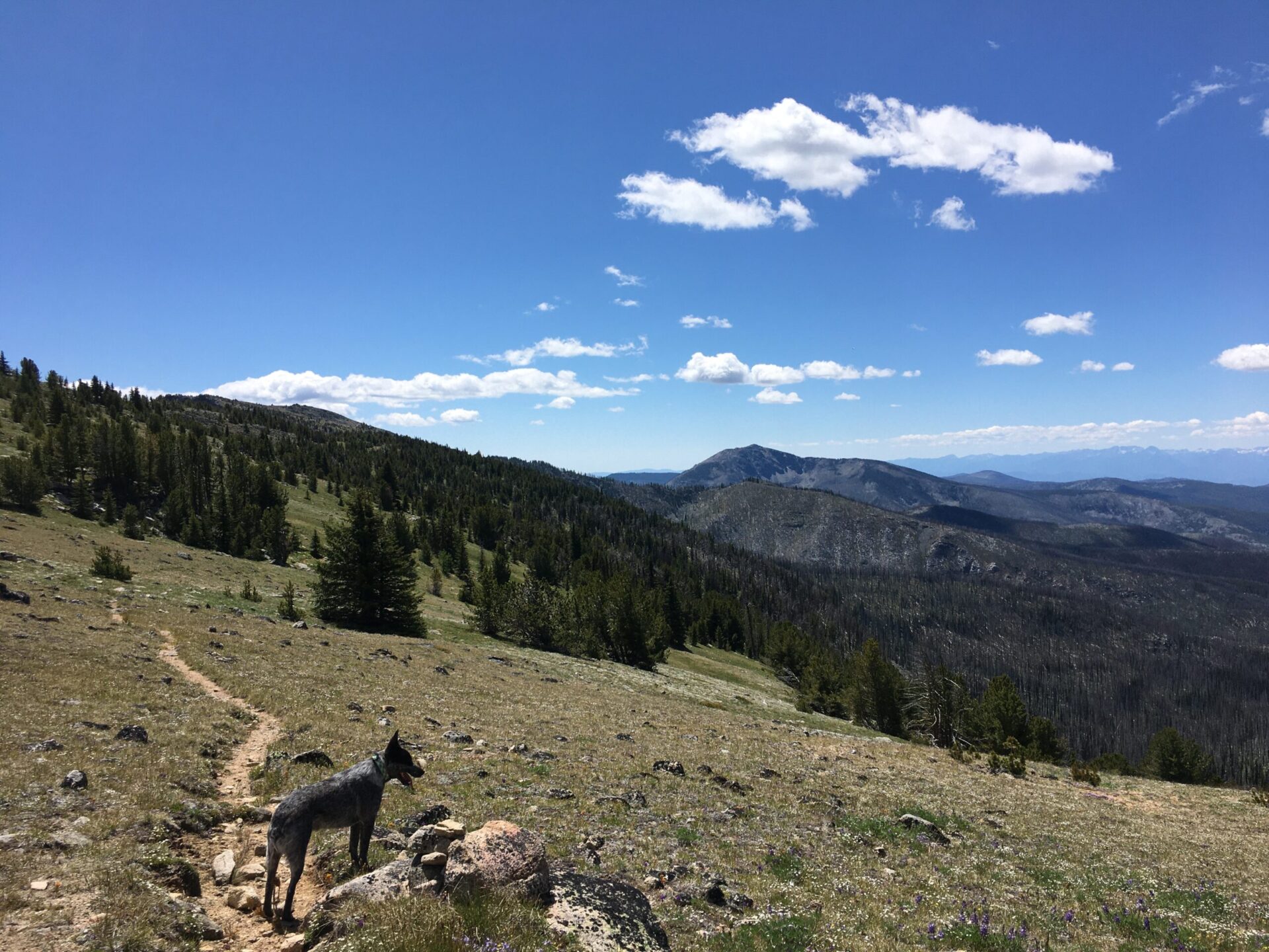
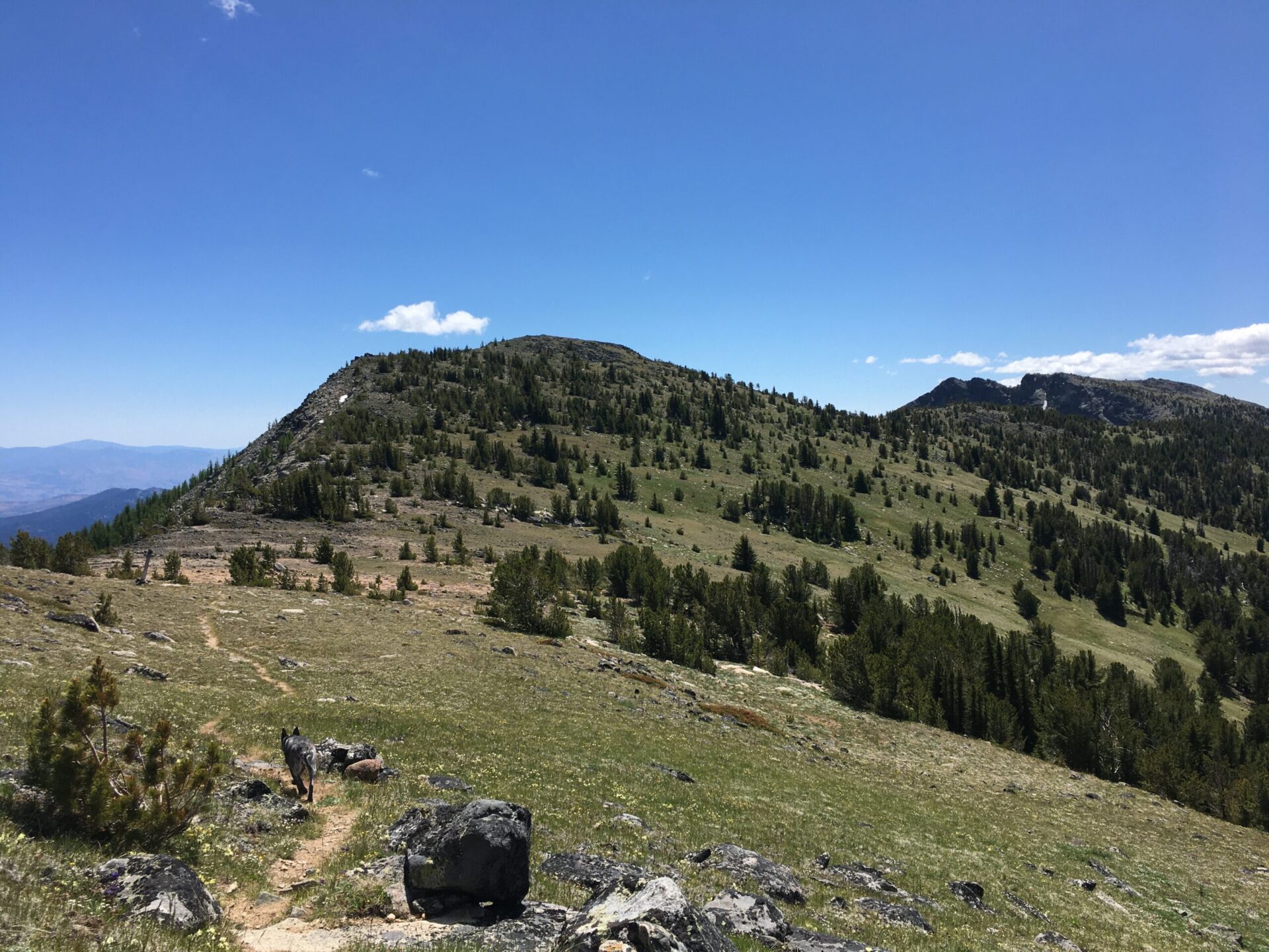
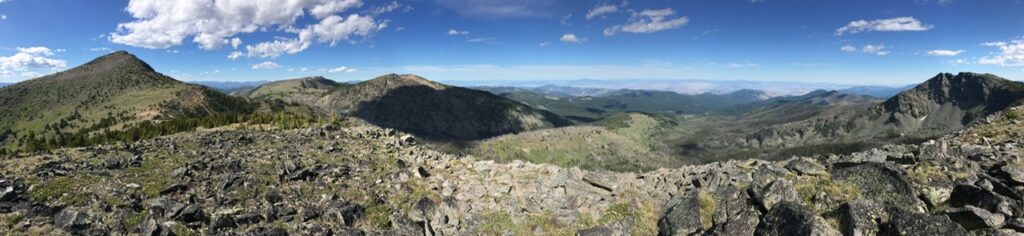
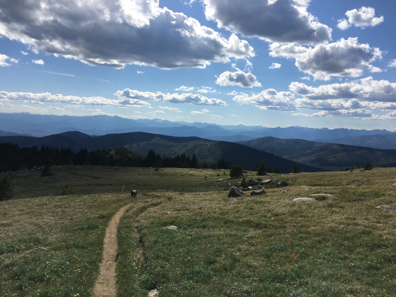
At least the wildflower explosion takes your mind off the climb and eventually the trail levels out on a plateau with grand views of Tiffany straight ahead. The legs and lungs get a break on the flat and the views are huge in all directions. I always love this place!
The climb up to the saddle at Whistler Pass is a bit more gradual and every time I’ve been here in both July and August, there is a small stream that trickles down the hillside about a half mile or so from the pass. It’s been one of the few sources of water I’ve found up there, other than Tiffany Lake or the basin below Whistler. Hudson and I took a break to splash the cool water on ourselves, thoroughly enjoy the refresh. Boy was the sun hot.
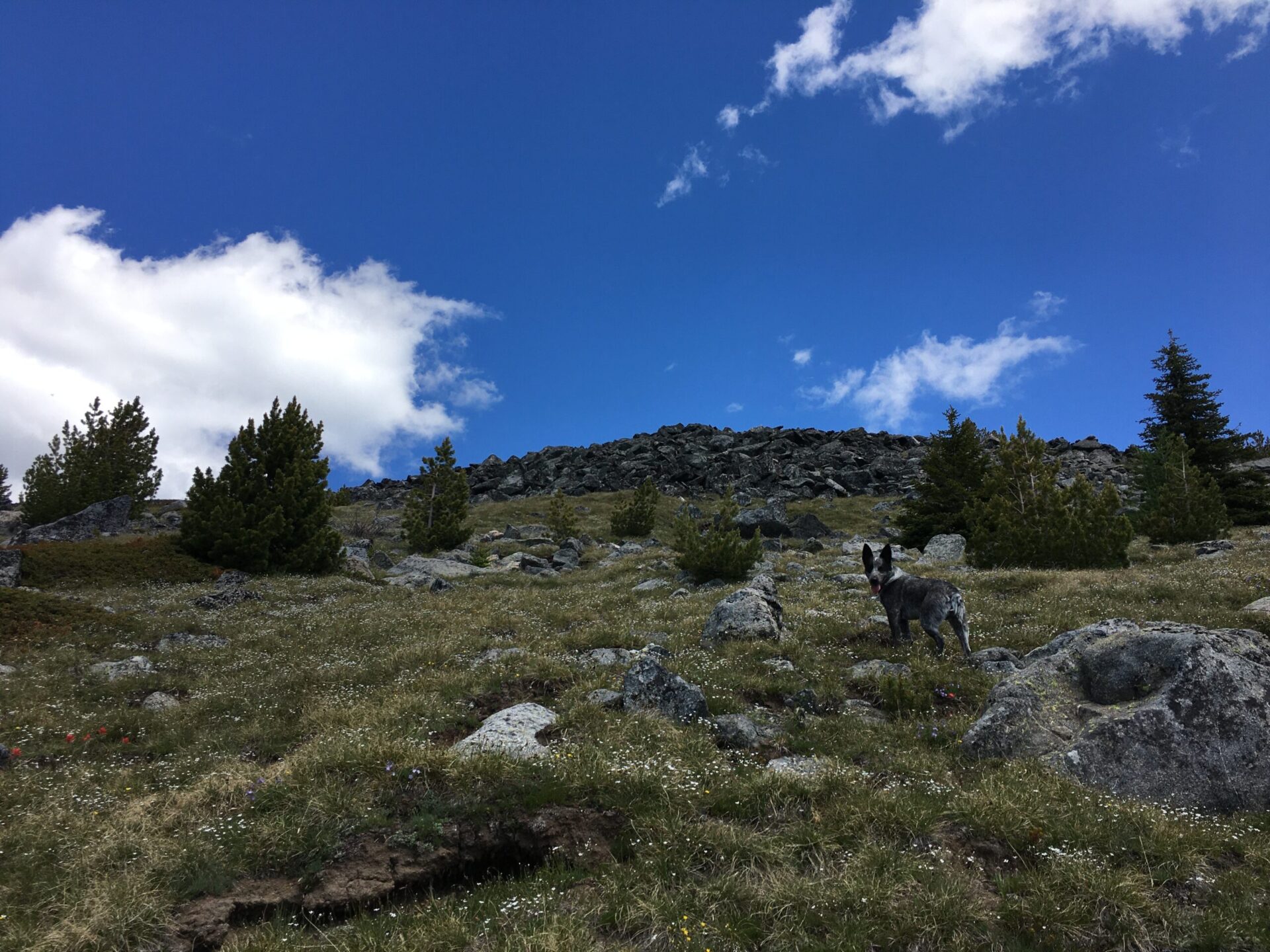
From Whistler Pass, I turned south on the North Summit Trail, which traverses along Clark’s west side. The trail is well maintained, though at times gets a little brushy. I suppose I could have turned uphill anytime to the summit but trees made it tough to see a route to the top. With big cliffs and rocks up top, I opted to continue on the trail all the way to the eastern ridge line where I had clear sight all the way up.
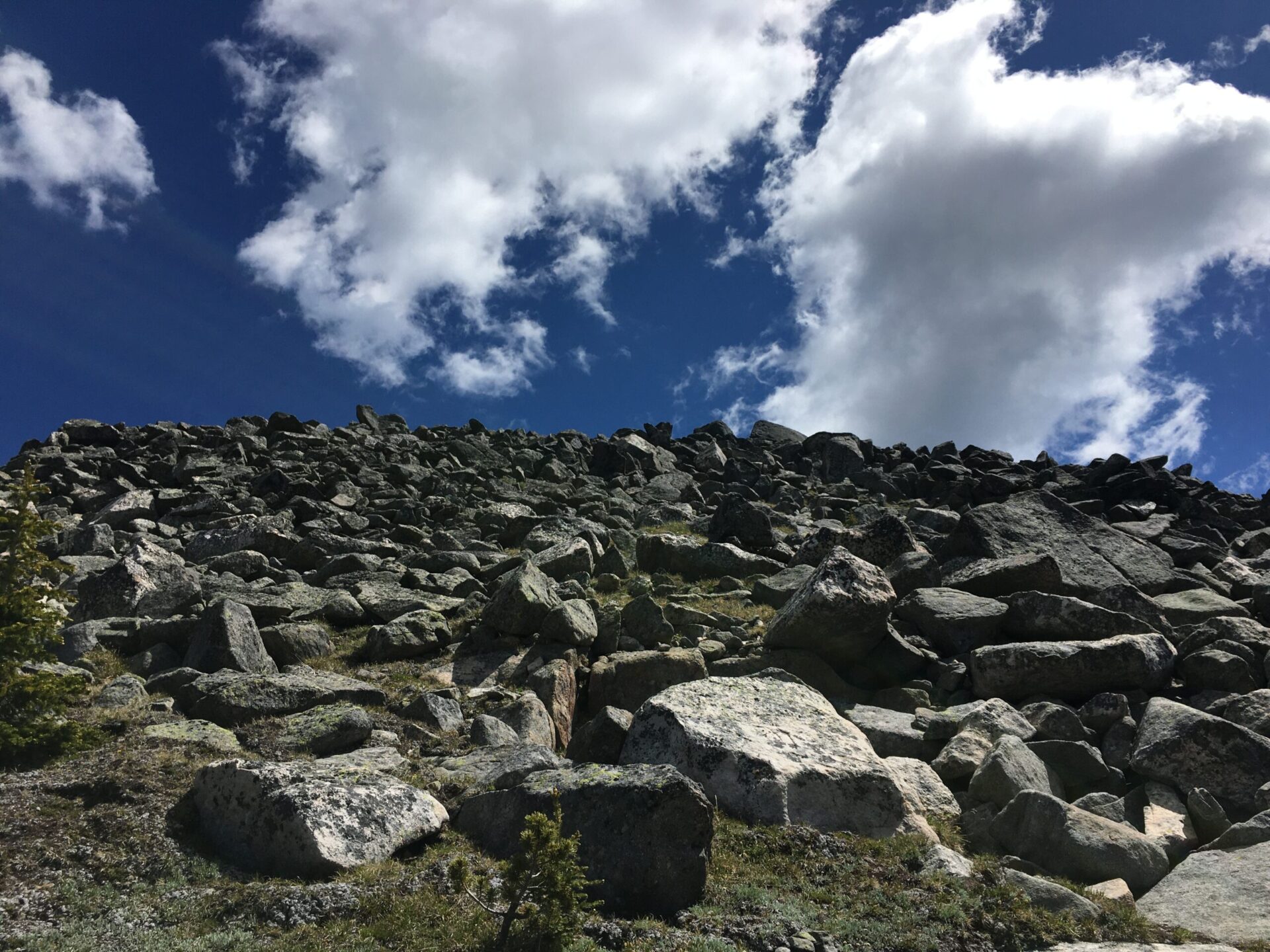
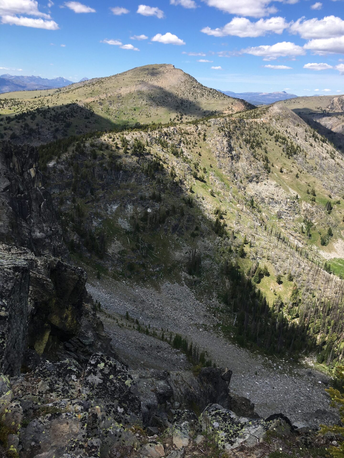
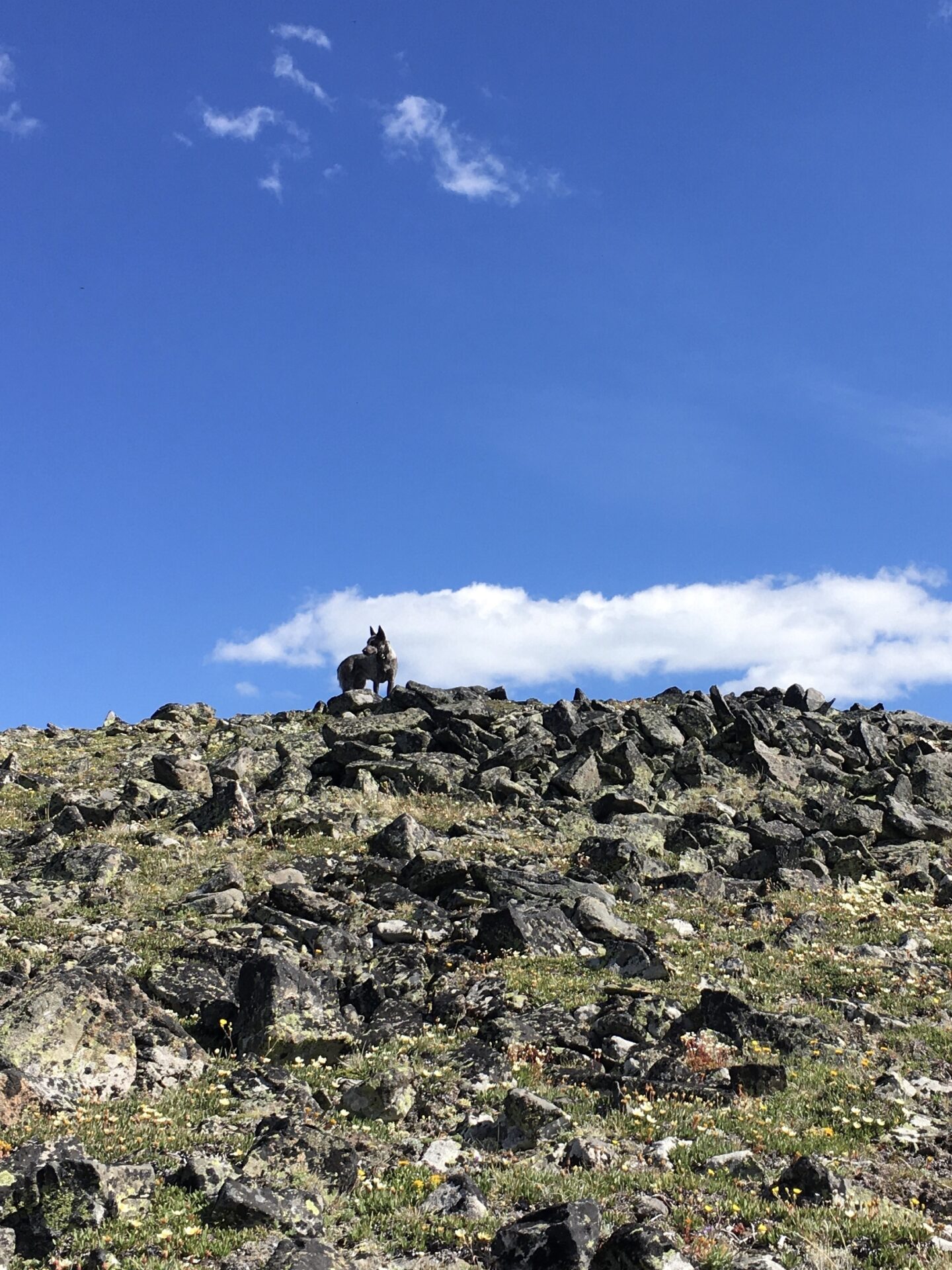
From the east ridge Clark is an easy cross country scramble and before long we were on the western summit. Surprisingly, there were no bugs or flies and passing clouds provided some much appreciated shade.
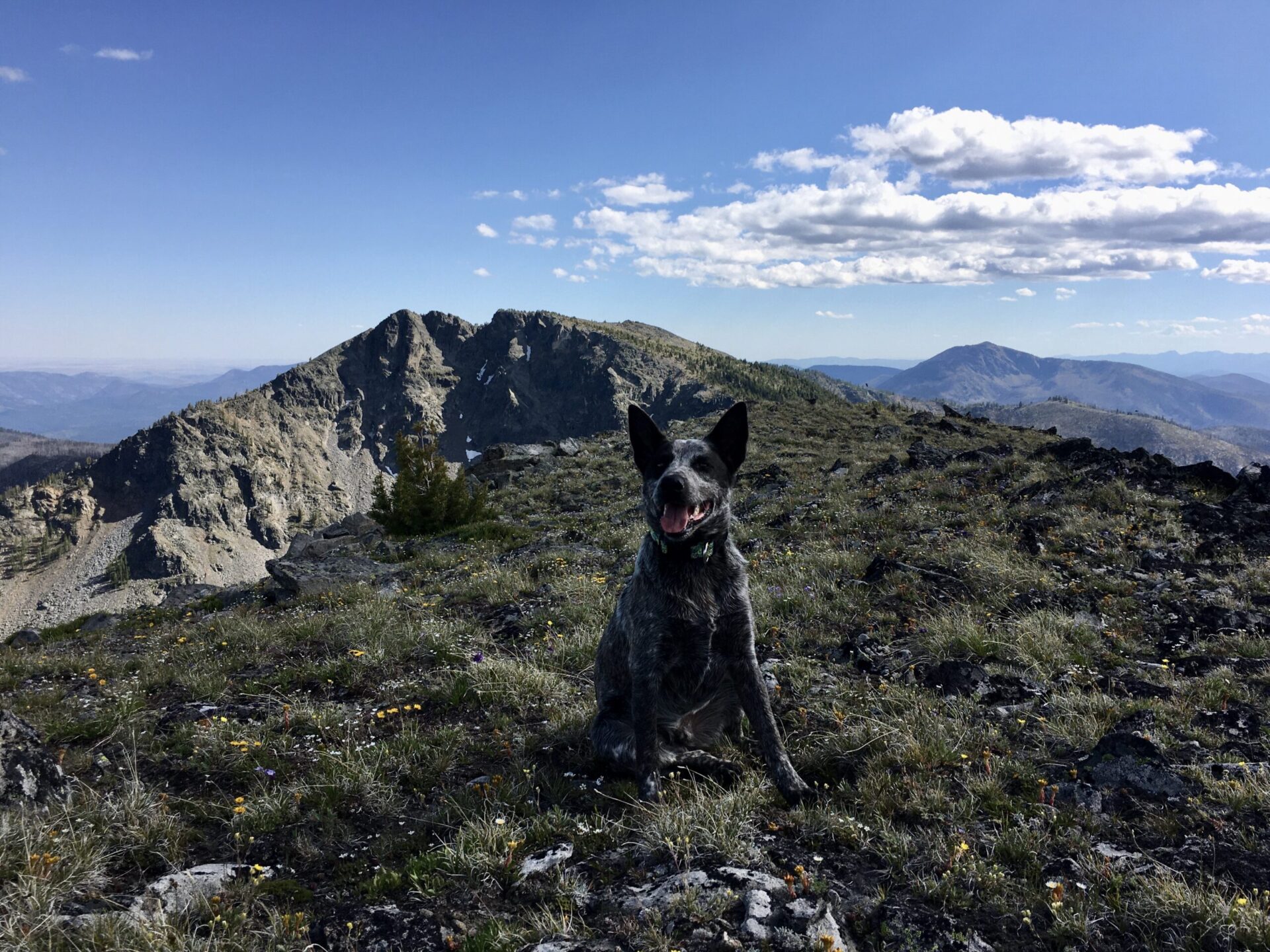
Clark’s summit is quite large and the true summit actually lies to the east, requiring a bit of rock scrambling to get to. This is one of those peaks where you may think you’re on the summit, but you’re not. Clark’s steep north face requires you to watch your footing, so I was extra cautious up there.

After a very enjoyable, leisurely lounge with a nice hot lunch, we set off from Clark and this time picked a route straight down the west side to the mountain. With limited visibility due to trees, It’s definitely easier going down this way than up.
In no time at all we were back at Whistler Pass. I decided to investigate the trail on to Honeymoon Pass, where I’d meet up with the Tiffany Lake Trail and then break off cross country to Middle Tiffany and Rock. Turns out the junction of the North Summit Trail and Tiffany Lake Trail is actually several hundred feet lower than maps show. When I realized we’d have to drop down to the basin, then back up to Middle Tiffany, across to Rock, back down, then all the way back up to Whistler Pass again I chose to postpone. It was a rare decision but for once, I just didn’t have the energy!
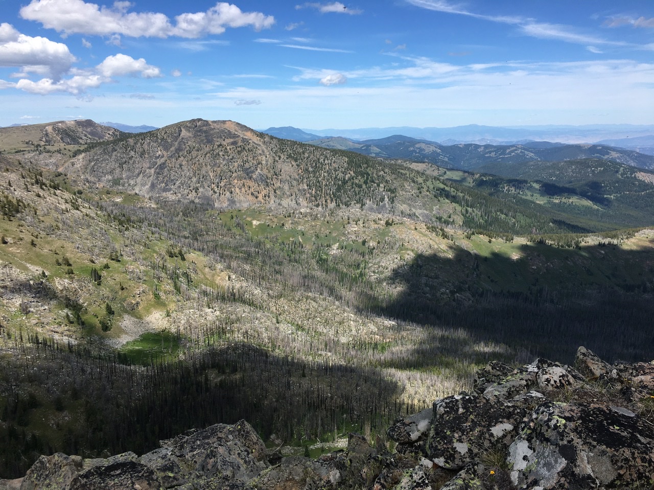
Instead Hudson and I turned around and climbed a high point to the east of Whistler Basin along Clark’s ridge line and enjoyed a spectacular perspective of Clark’s sheer north side. It’s probably possible to traverse all the way across to the summit of Clark from there. After another long break, we hiked out along Freezout, stopping for a refreshingly cold splash of water from the stream.
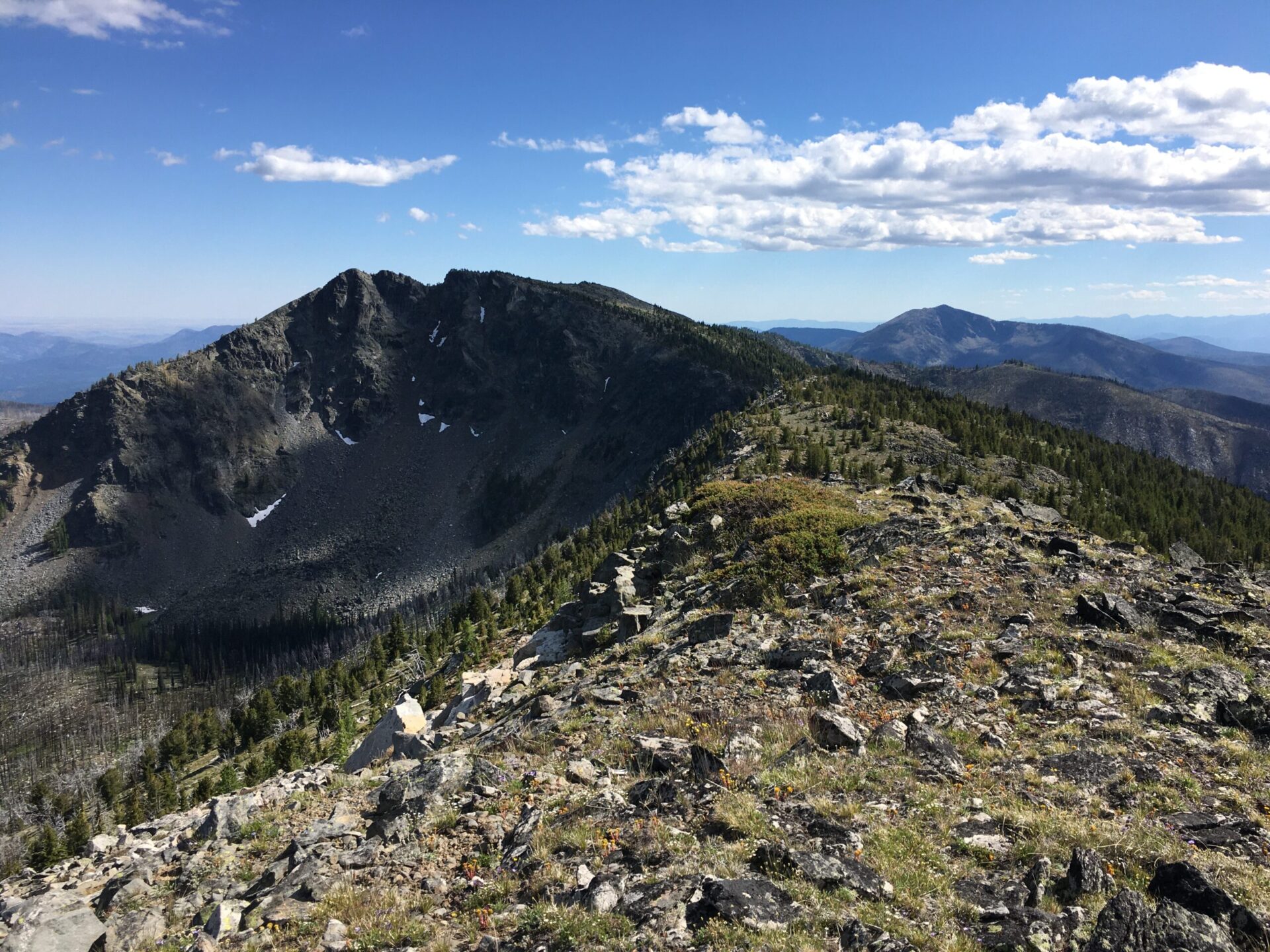
Though I didn’t pull off my 3 peak slam, it was still a wonderful day filled with gorgeous views, lots of wildflowers, and zero people. Clark is a fun objective with a nice perspective of Tiffany, Rock, and Middle Tiffany. The sheer north face is really impressive!
Date Climbed: 7/20/20
Distance (RT): 10 miles
Elevation Gain: 2,728′
Summit Elevation: 7,890′