There are a handful of former fire lookout locations out there with very little historical information or photos and Bridge Creek is certainly one of them. Ray Kresek indicated in his inventory that at some point a platform tower and camp existed at Bridge Creek (aka Fenceline Peak) sometime in the 1930s, then was abandoned in the 1940s. On maps, the peak is labeled as Fenceline Peak.
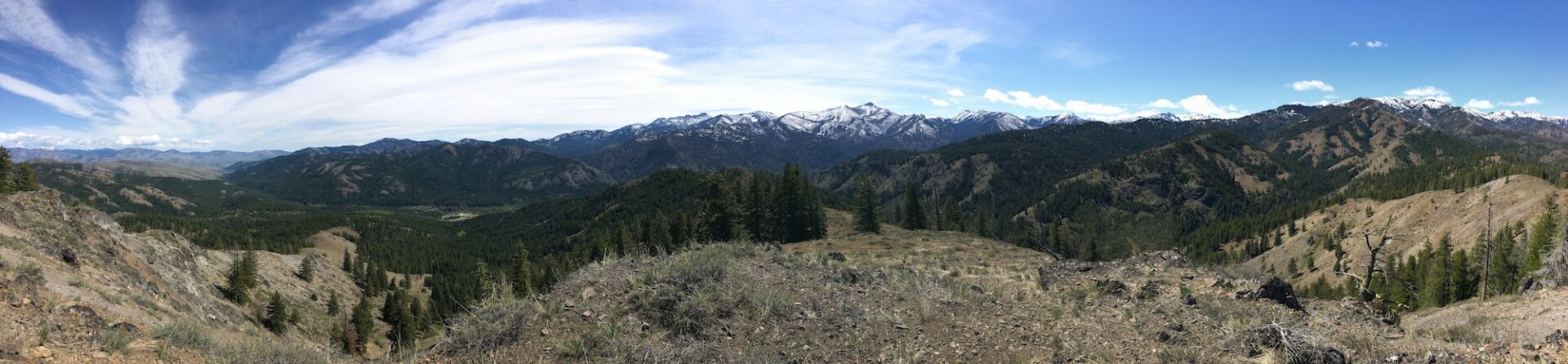
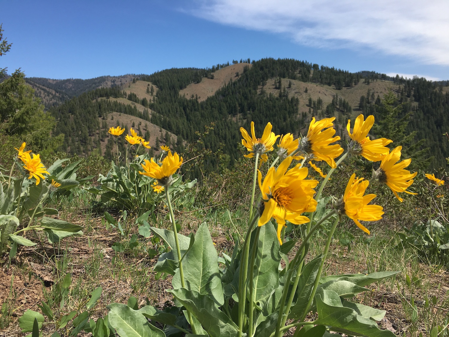
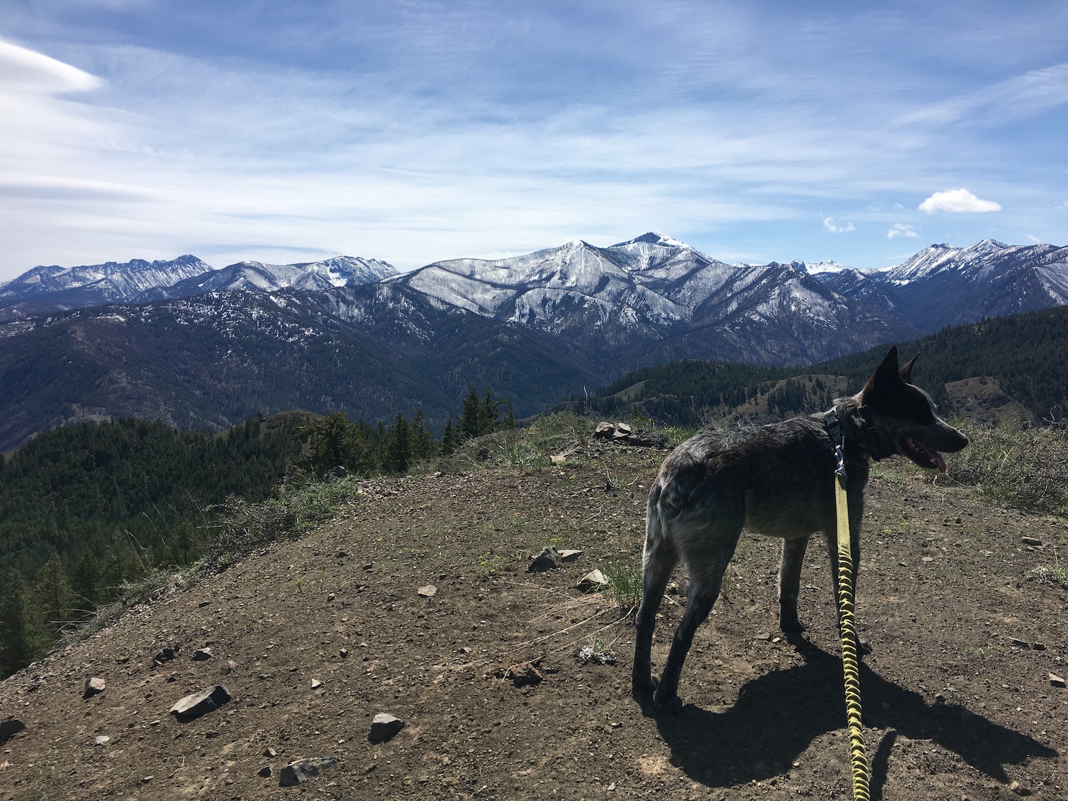
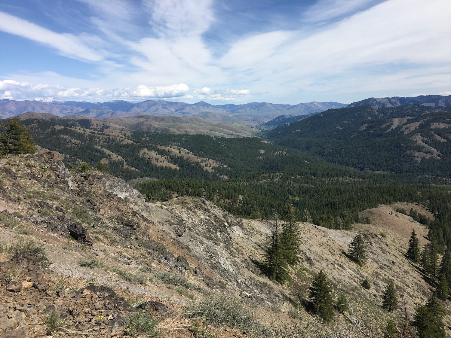
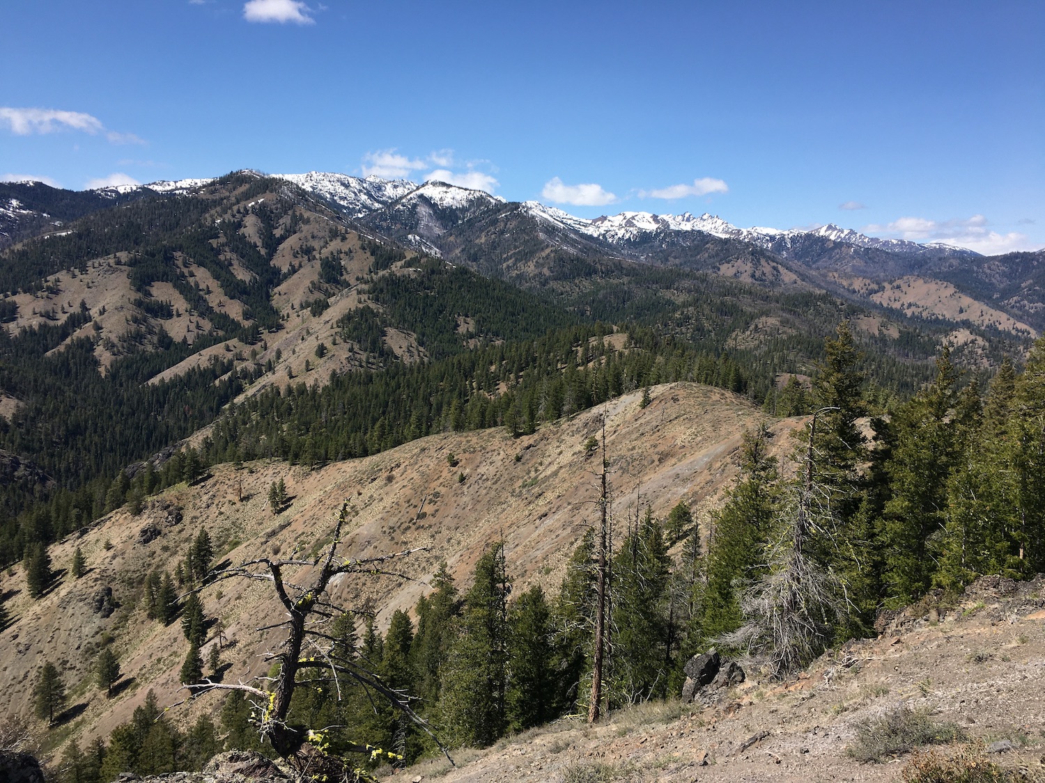
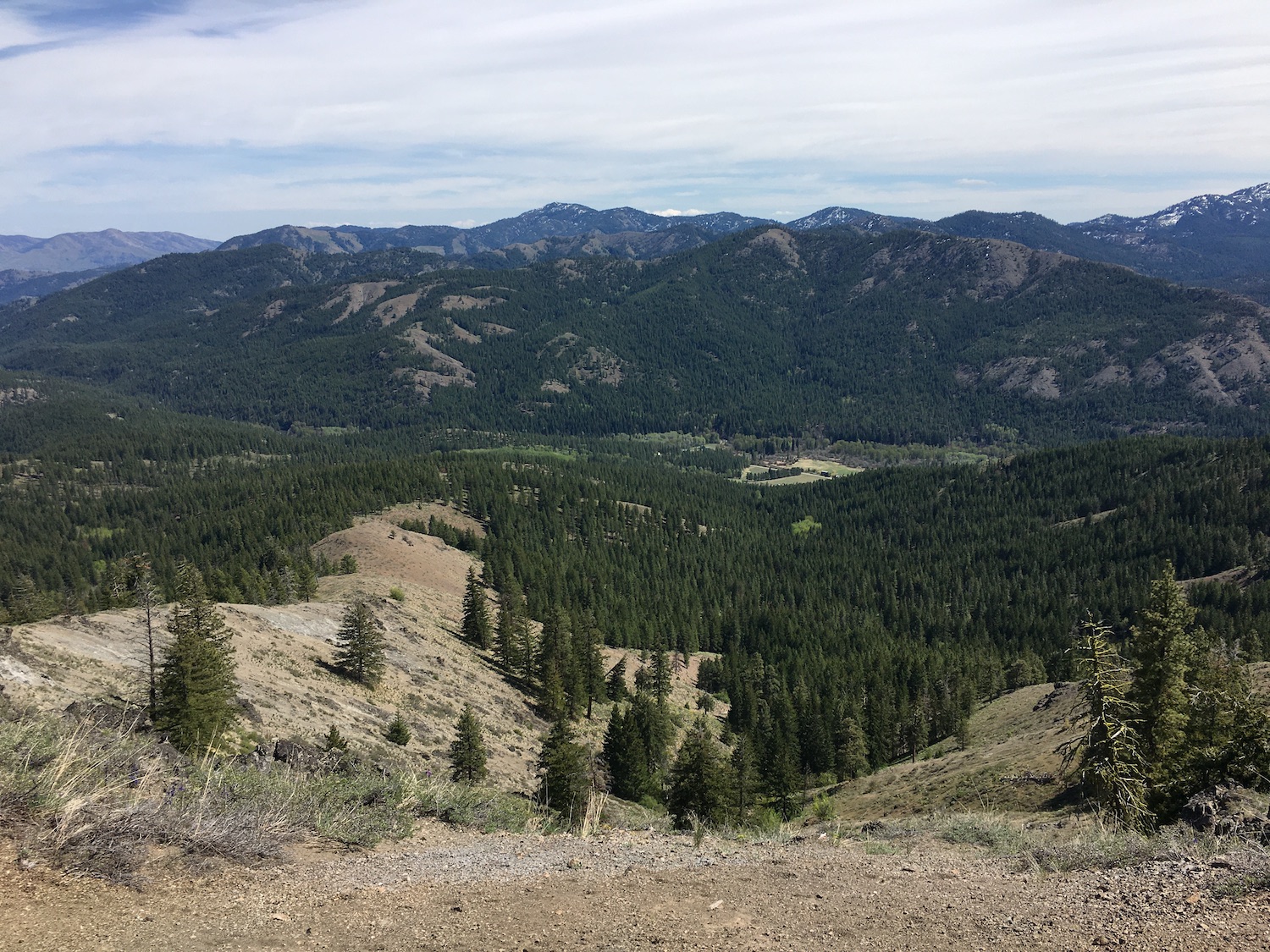
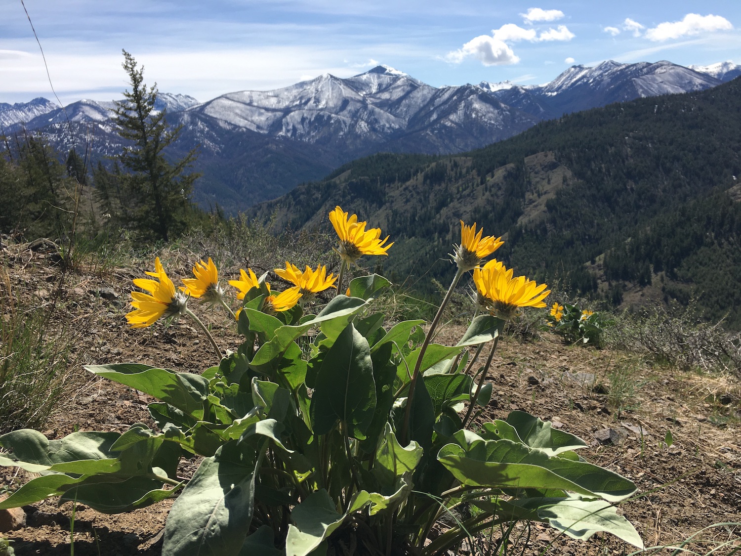
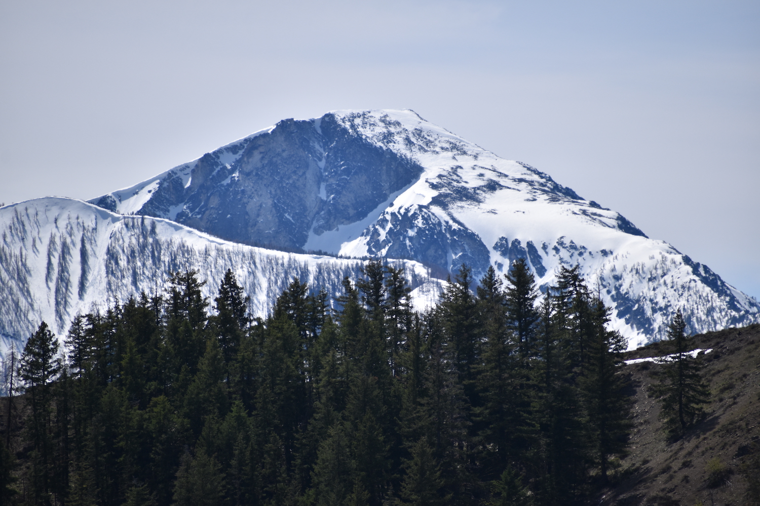
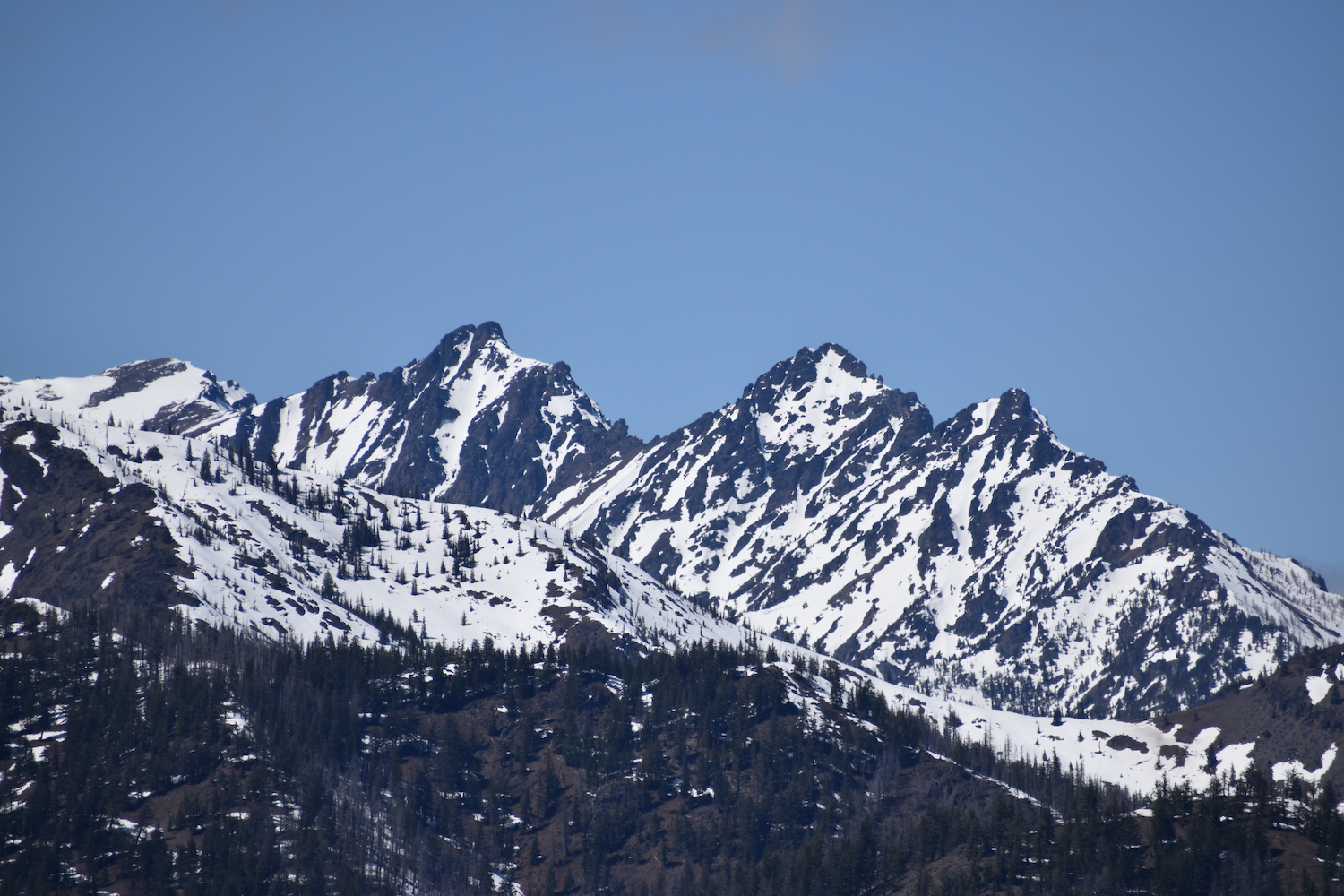
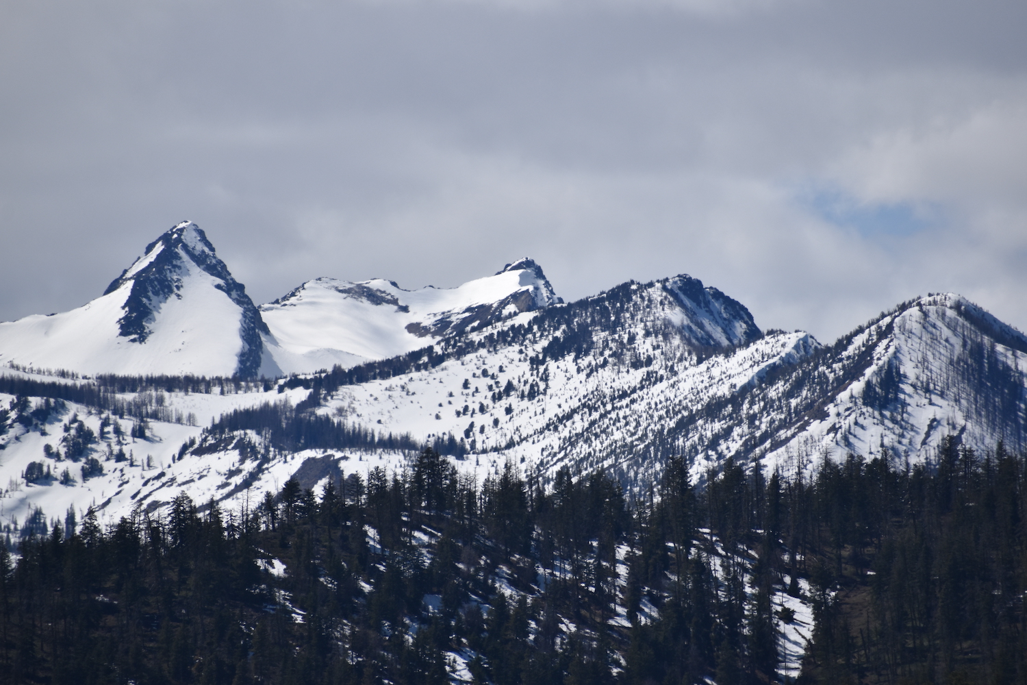
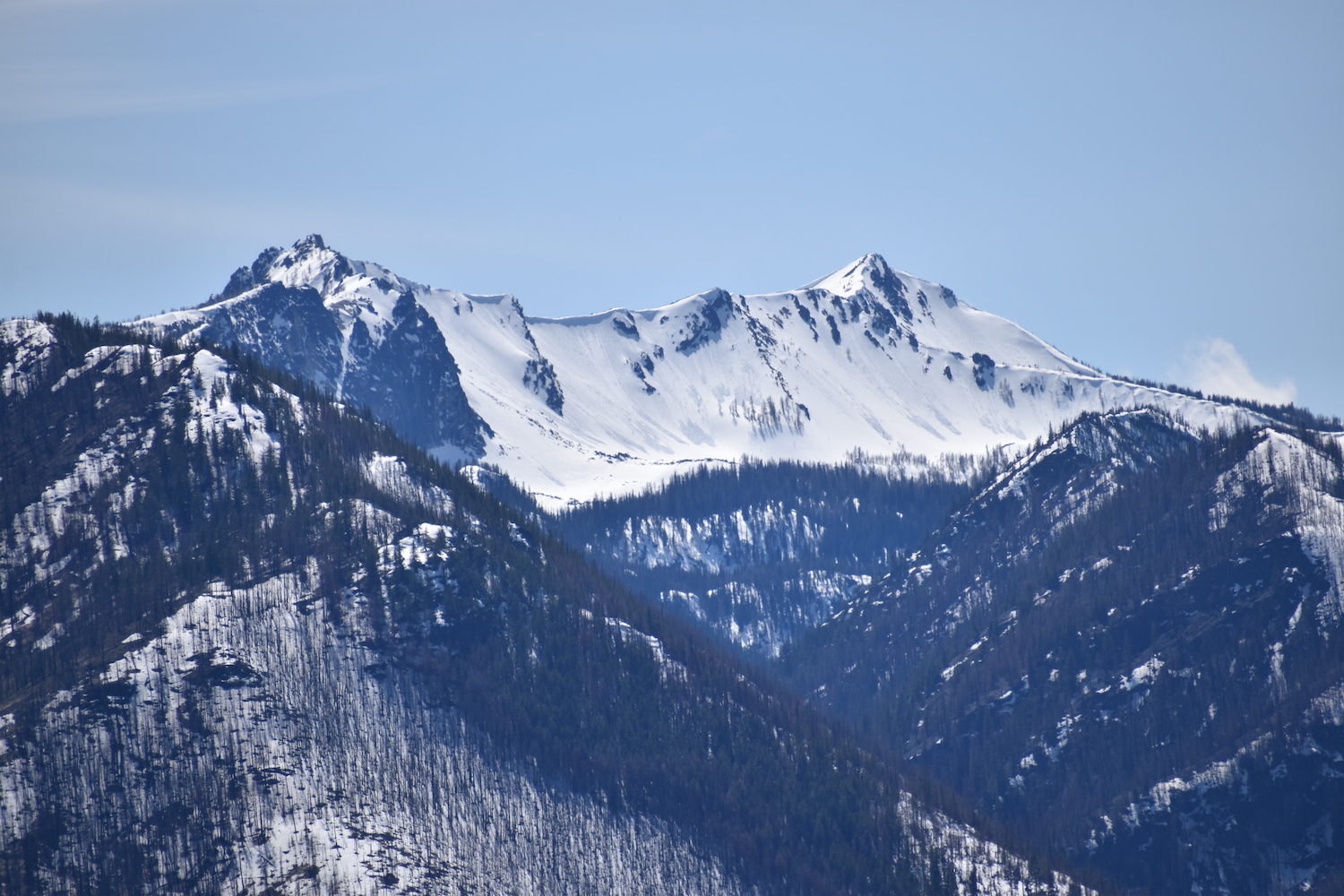
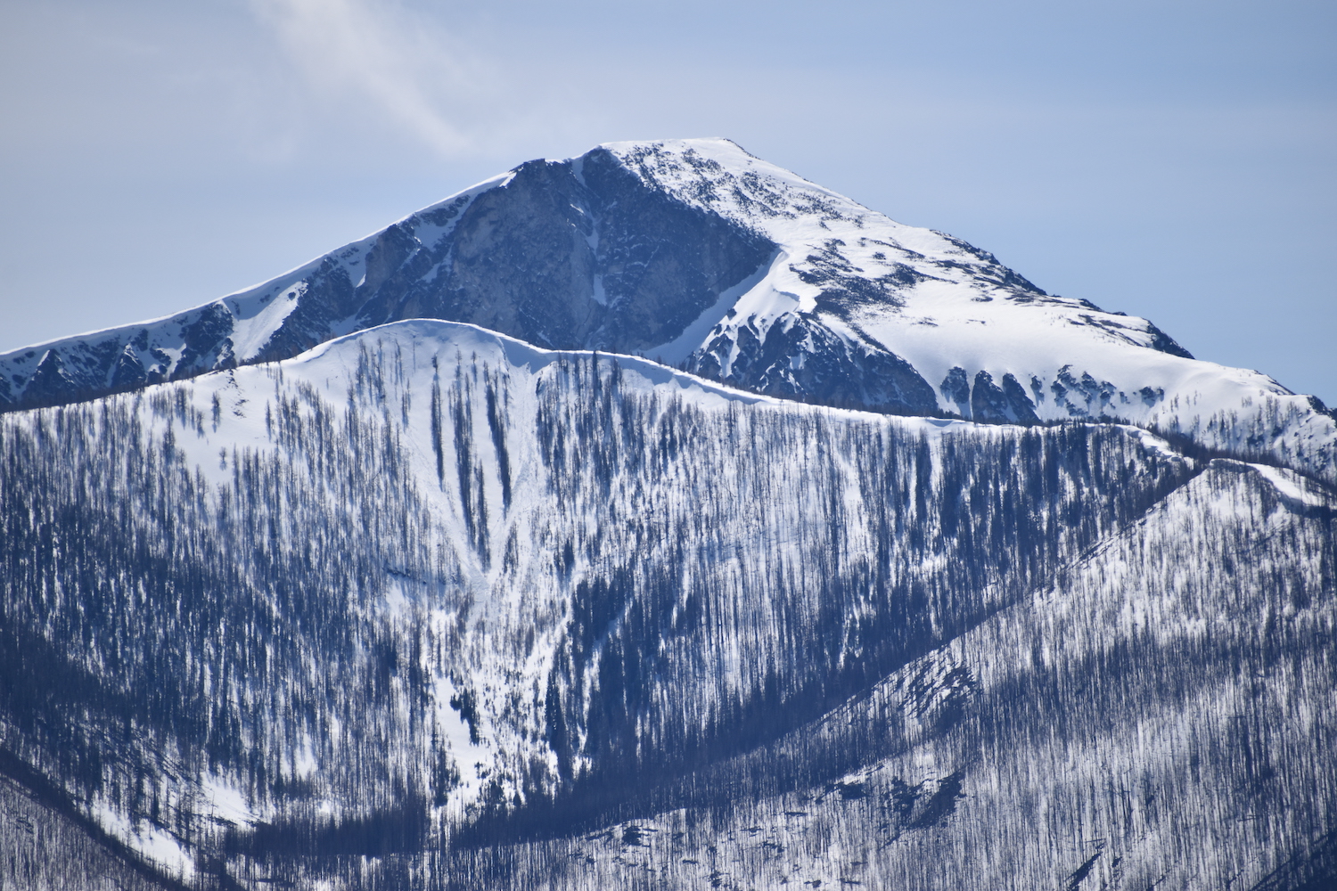
Last weekend I took a hike up to the site to check it out and indeed, the summit has strategic, spectacular 360 views of the Twisp River Valley and Sawtooths all the way east to Winthrop and beyond. It’s not hard to imagine it being used as a vantage point, especially with an old road leading nearly to the summit.
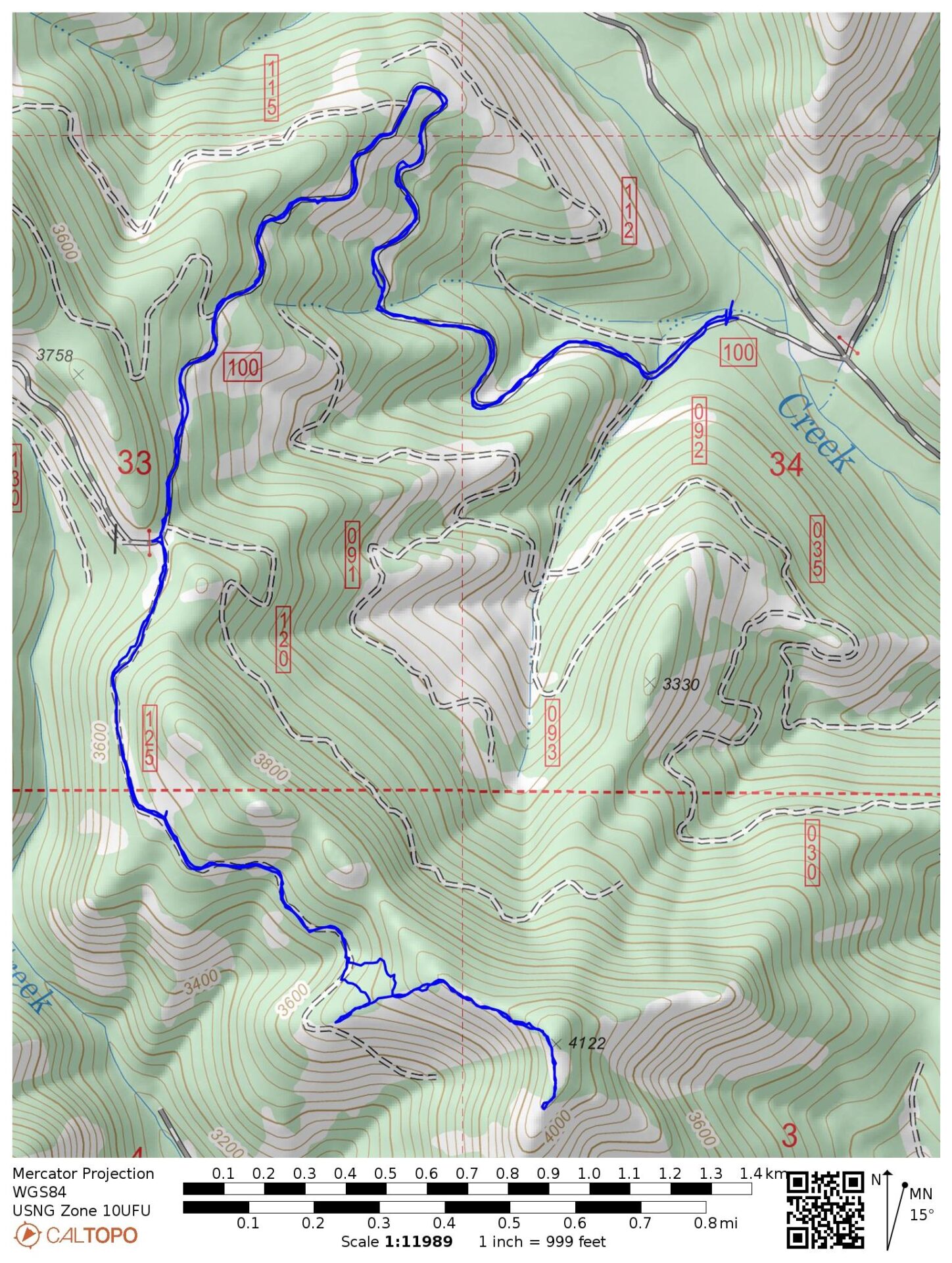
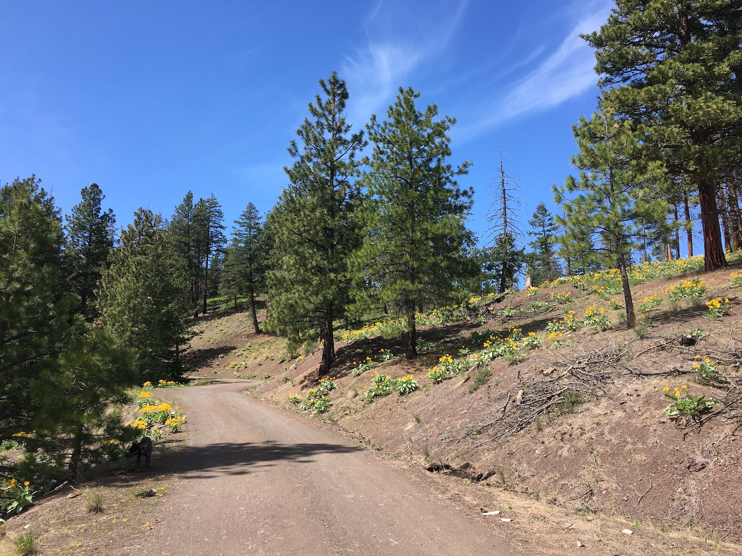
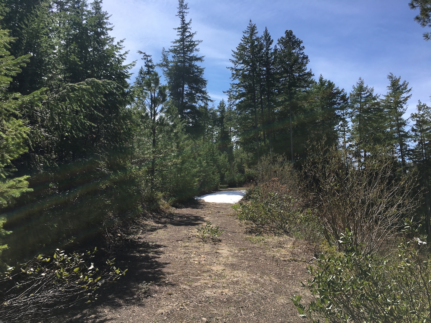
I visited Fenceline by driving up Little Bridge Creek off Twisp River Road, then approaching on Forest Road 100. It’s usually possible to drive Forest Road 100 a few miles to a gated junction with FR 125 and FR 130, which is about a mile and a half from the peak. On this trip I encountered some downed trees on FR 100 that stopped me a few miles short. I took it as a welcome opportunity to enjoy a nice forest road walk so I parked my truck and hiked the few extra miles.
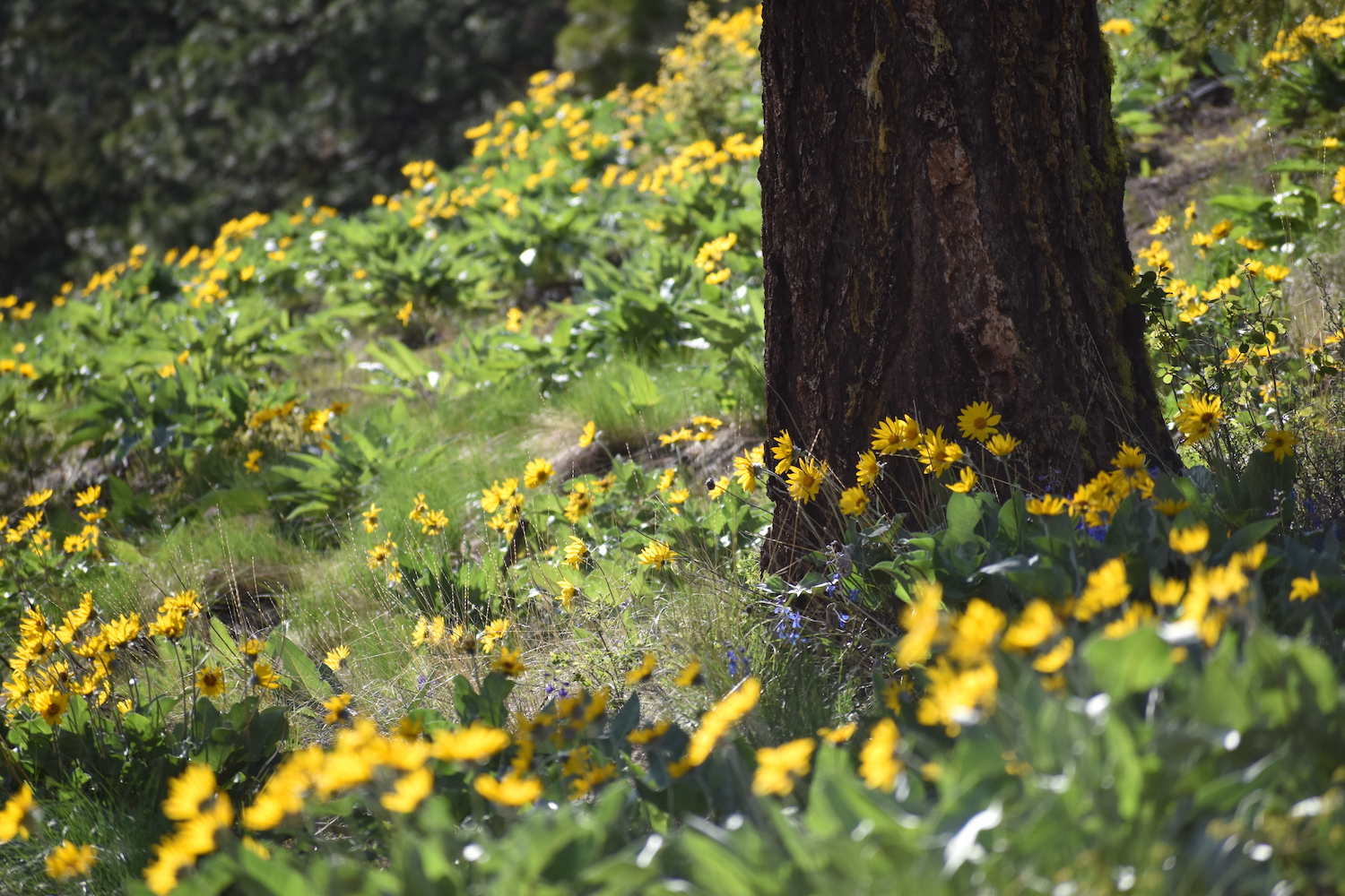
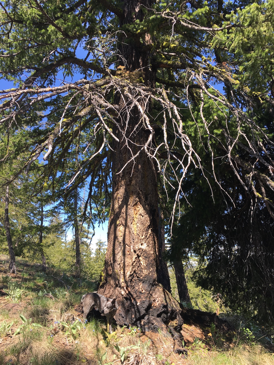
I followed FR 125 along the south side of Fenceline Peak and was treated to a spectacular display of beautiful old growth forest. I feel like I’ve been hiking in so many burn areas lately that seeing these old towering trees in an area free of burn scars was a real treat.
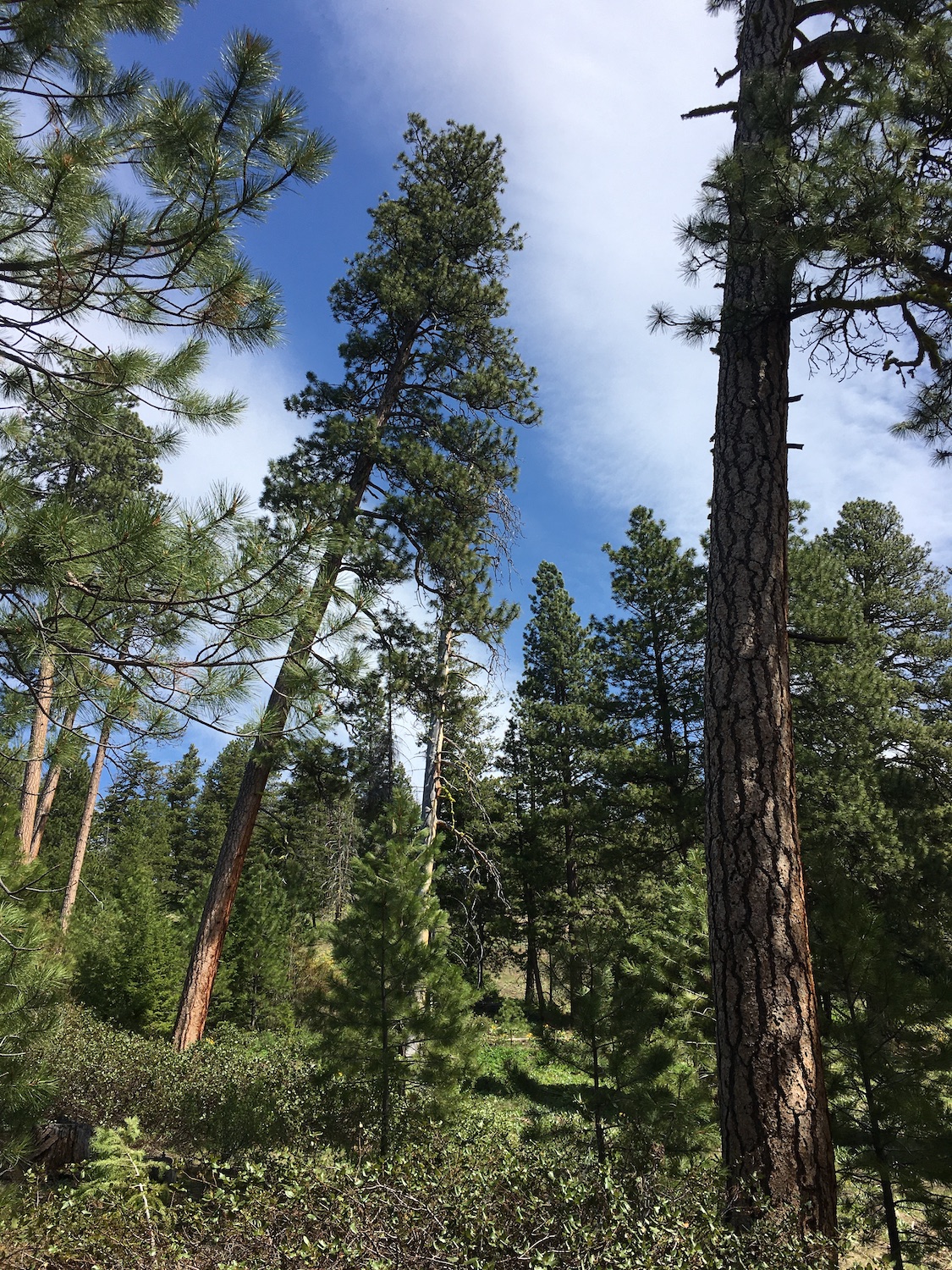
The road eventually disappeared into a mass of overgrowth so I headed cross-country straight up the short slope to the ridge. I probably could have scrambled up the ridge at an earlier point but then I would have missed the beautiful old growth forest. From the ridge, the route to the summit was an easy traverse, though certainly steep in a few spots.
Sometimes I wonder how peaks get their names and other times it’s pretty darn obvious. Indeed, Fenceline is right along a fence line! Go figure.
The best views from Fenceline are from a rocky outcrop just south of the summit. I visited on a day when winds were blasting up the slopes at 20-30mph so I was happy to find the rocks provided some shelter. Usually I’m paranoid about hiking under tree cover during such strong winds but the approach was mostly sheltered and the tree line on this summit was on the leeward side, making me feel pretty comfortable. Hudson and I hunkered down in the sunshine, enjoying the big views all around.
This is a beautiful summit to visit and a relatively easy effort for some big rewards. If you know anything about more about the history of the Bridge Creek fire lookout, drop me a line, I’d love to hear it!
Date Completed: 5/1/21
Distance (RT): 7.5 miles
Elevation Gain: 1,740′
High Point: 4,122′