Okanogan Highlands | South Okanogan Highlands
Colville Indian Reservation
Location: 48.1783079,-119.2503312
Summit Elevation: 3,920′
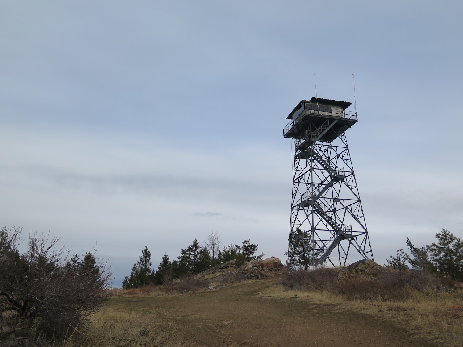
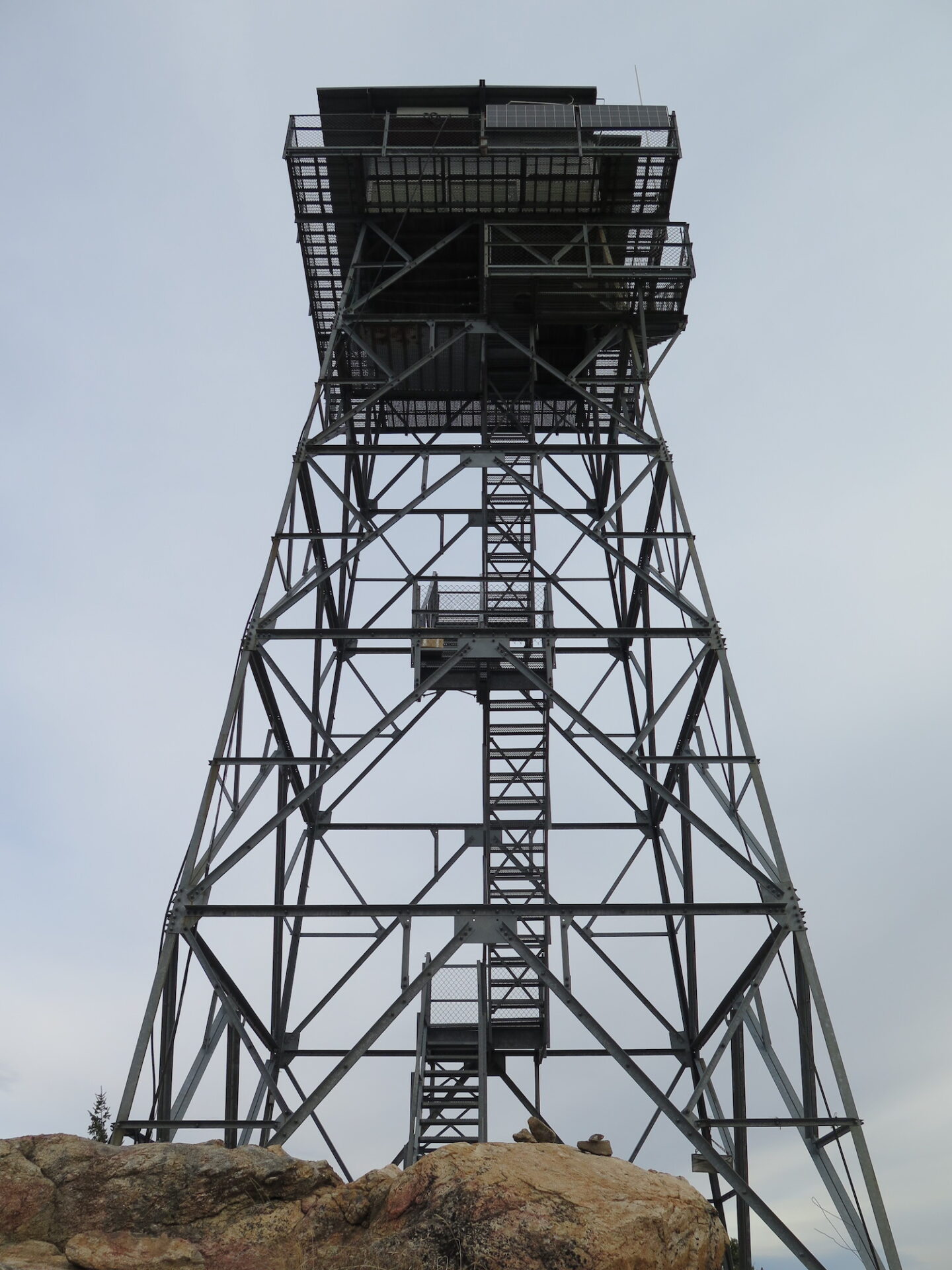
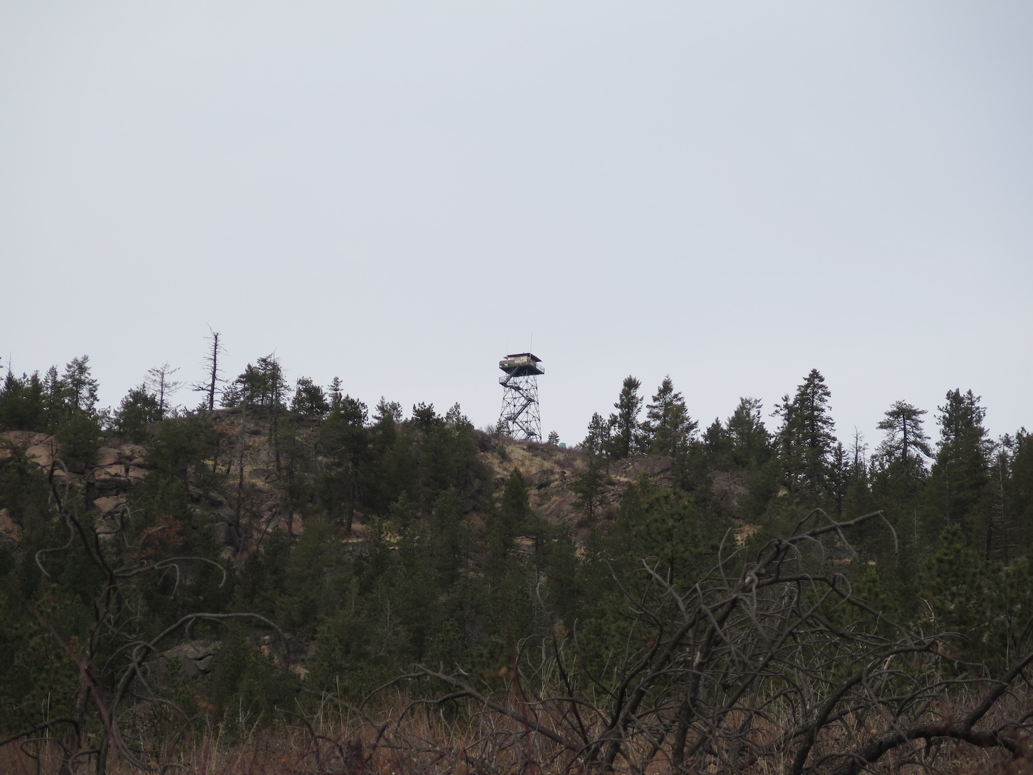
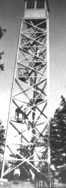
Lookout Type: 53′ all-steel live-in tower
Site Established: 1934
Current Structure Built: 1935
Date Visited: 11/25/17
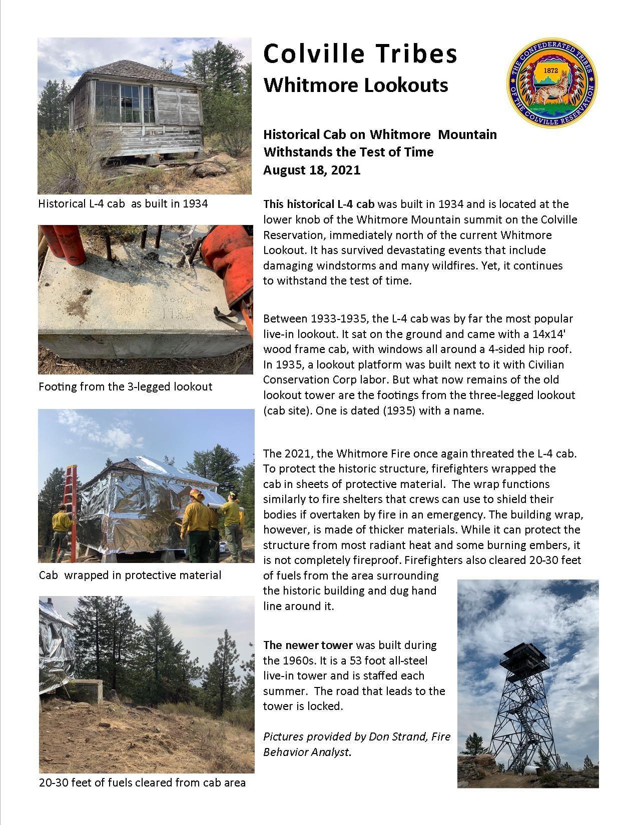
Whitmore Mountain is one of only two Washington peaks that has two distinct lookout locations, the other being Mount Leecher. Whitmore is also one of Washington’s 144 peaks with at least 2,000′ of clean prominence. Both the steel tower and the historical L-4 cab miraculously survived the 2021 Whitmore fire thanks to the efforts of fire crews.
Photos from 2017.
History.
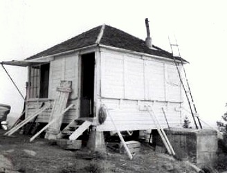
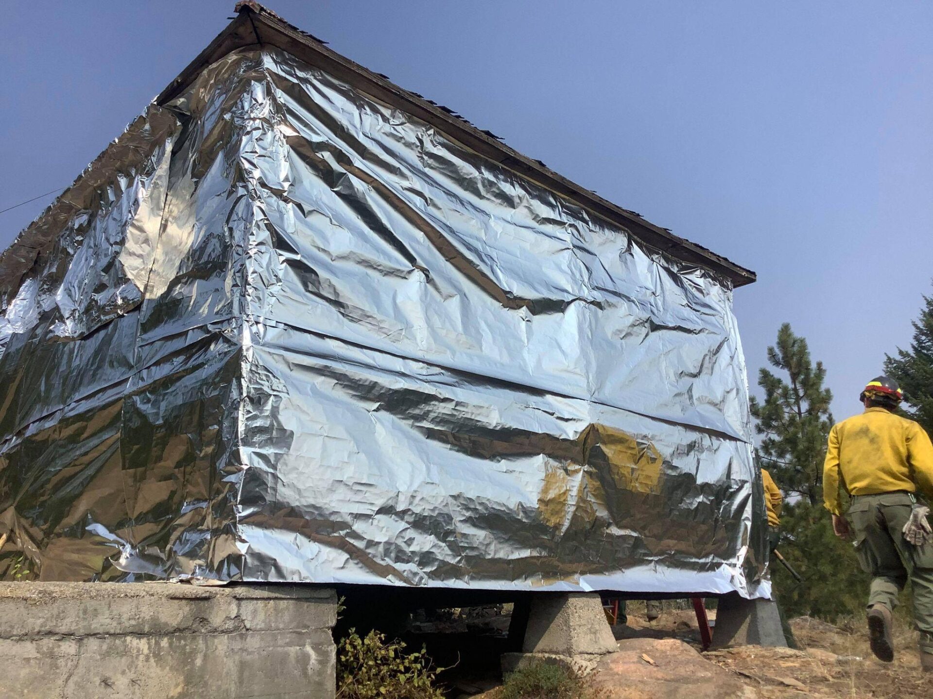
The Whitmore L-4 cab was built in 1934 1/4 mile northeast of the current steel lookout. In 1935, it was accompanied by a 3-legged 60′ wood tower with 7’x7′ cab. Both structures were built by the Civilian Conservation Corps for a reported $1,046. The L-4 cab still remains on site, though in very poor condition. Because it’s not visible from the current summit, it exists as its own distinct lookout, so don’t miss it!
It was reported in 1960 that 60° of the surrounding area was not visible from the lookout due to its location and elevation and that the 3-legged wood tower was deteriorating and unsafe. Sometime in the following years, permission was granted from a private land owner to build a 53′ all-steel live-in tower. The lookout still exists today and is staffed every summer.
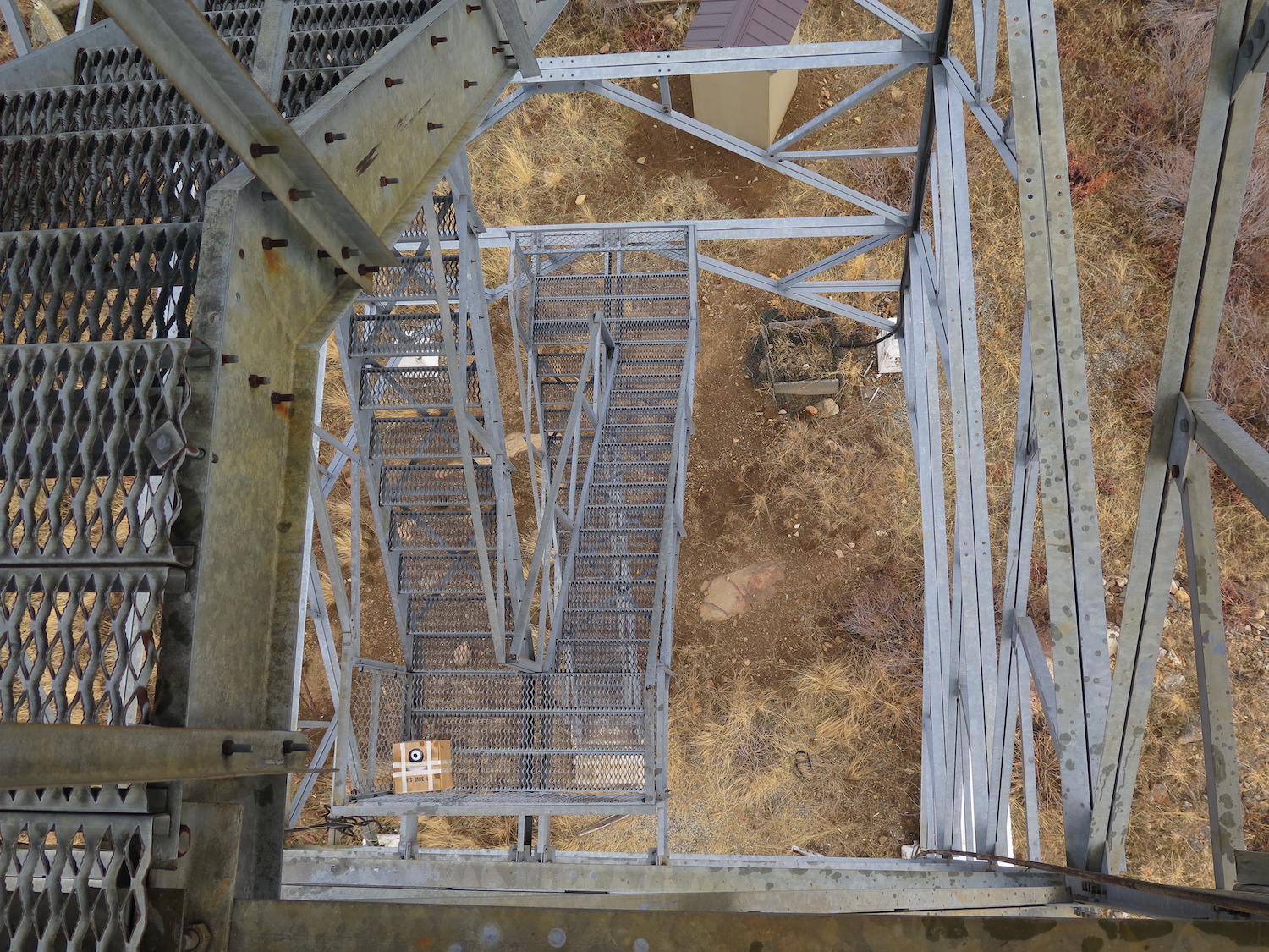
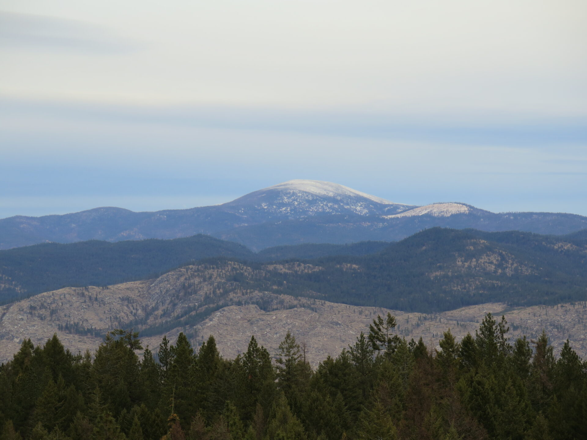
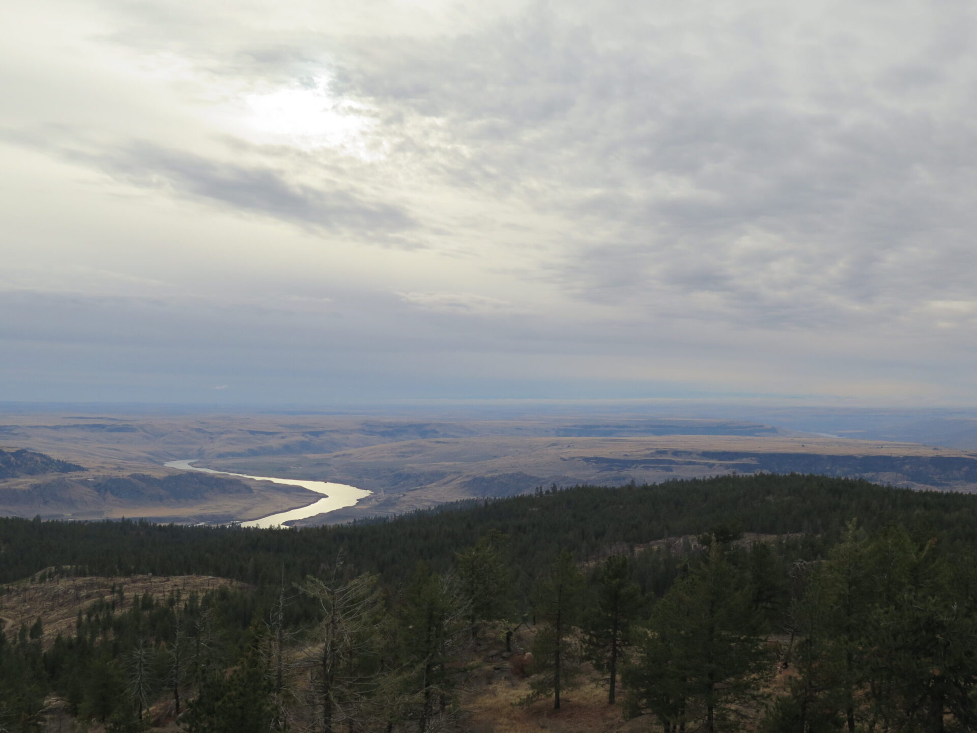
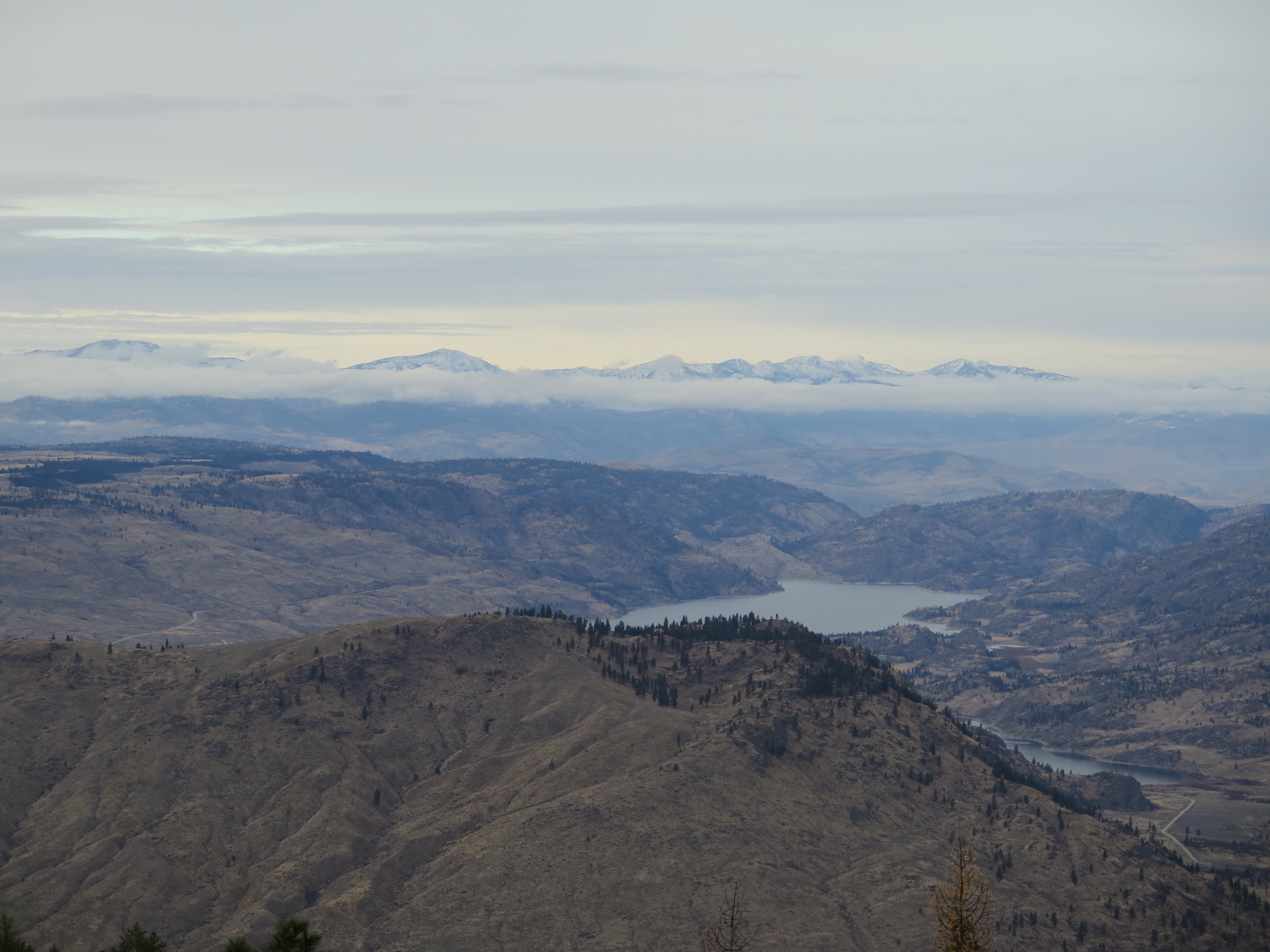
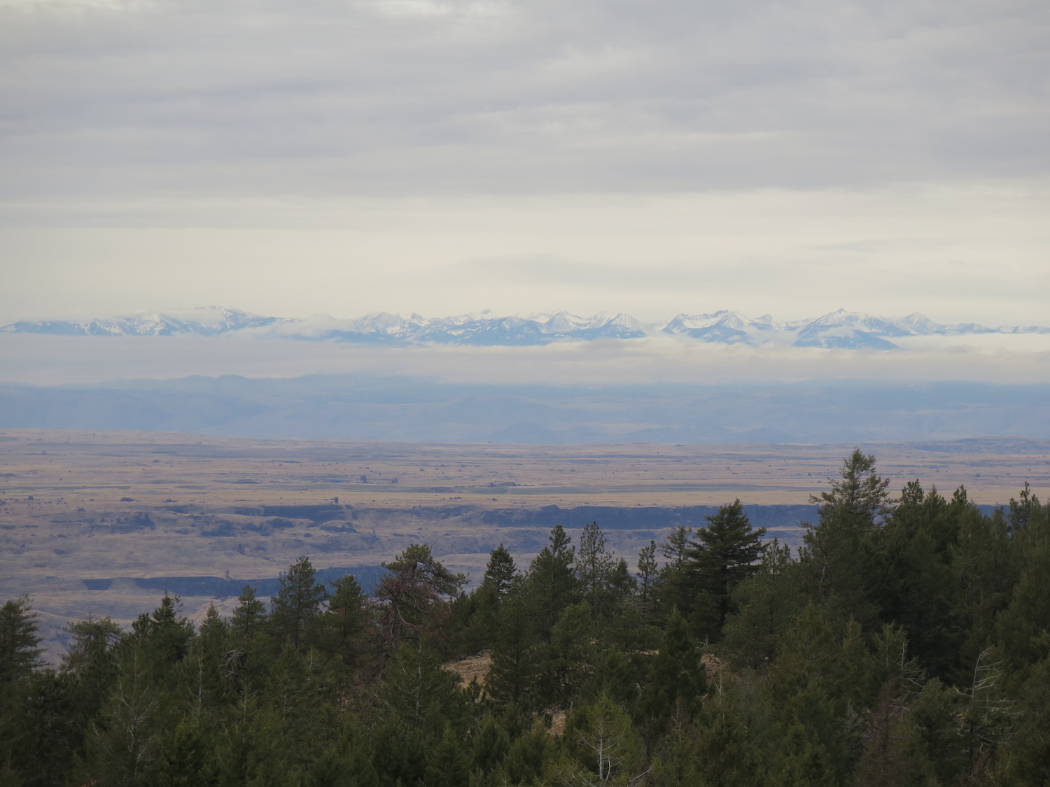
The lookout is locked but you can climb the stairs to a viewing platform just below the cab. Enjoy big views of the Coulee area, Omak Lake, and North Cascades. This is a seldom visited area of Washington that is unique and beautiful!
On August 3, 2021, lightning started the Whitmore fire, which eventually burned over much of the Whitmore Mountain area. Firefighters dug a hand line around the historic L-4 lookout and also wrapped it for protection. Both Whitmore lookouts survived.
The views.
Directions.
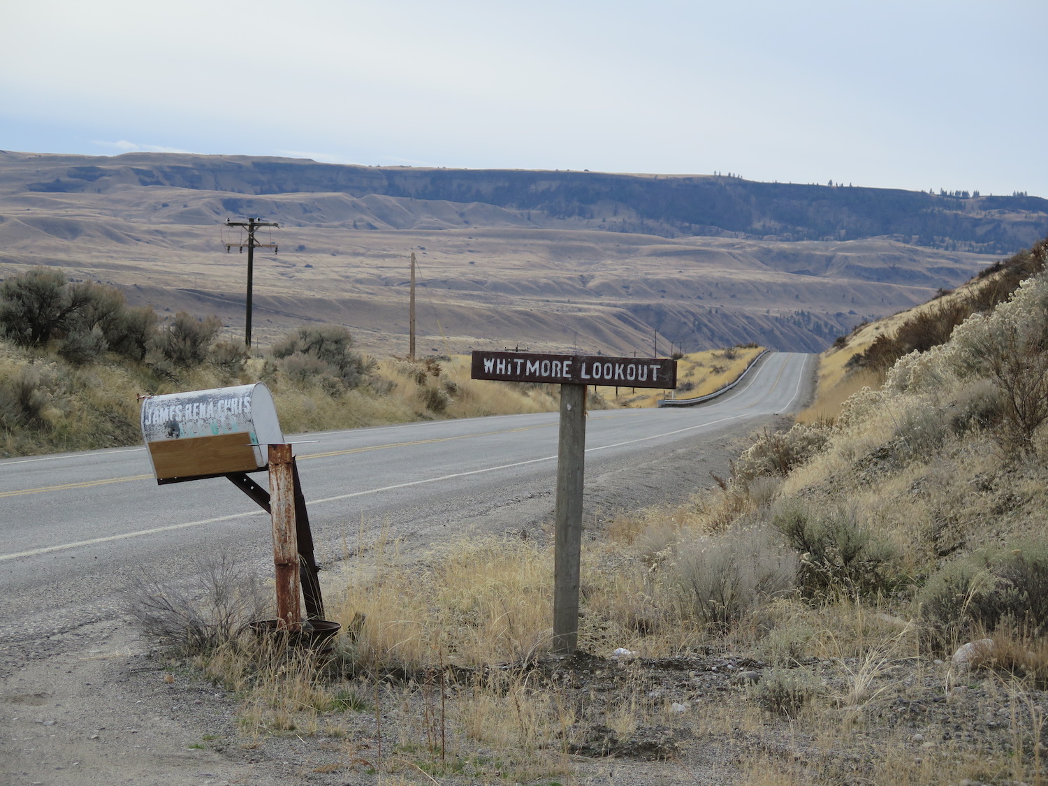
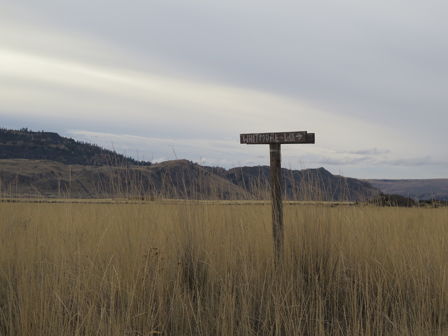
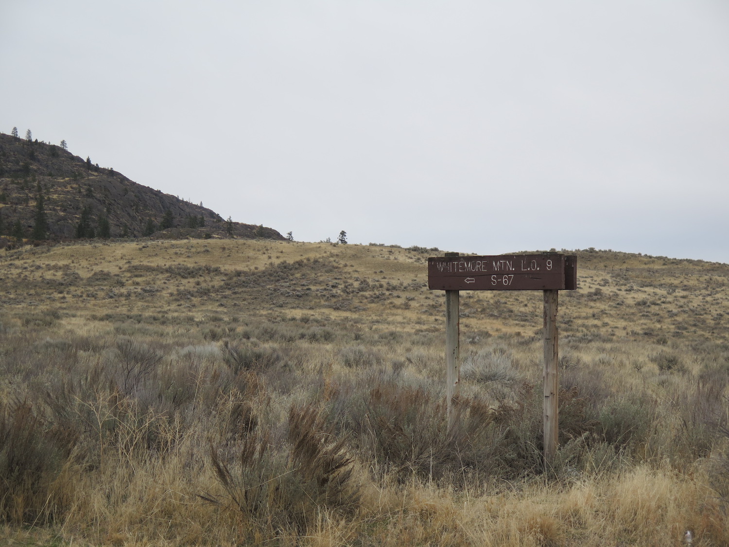
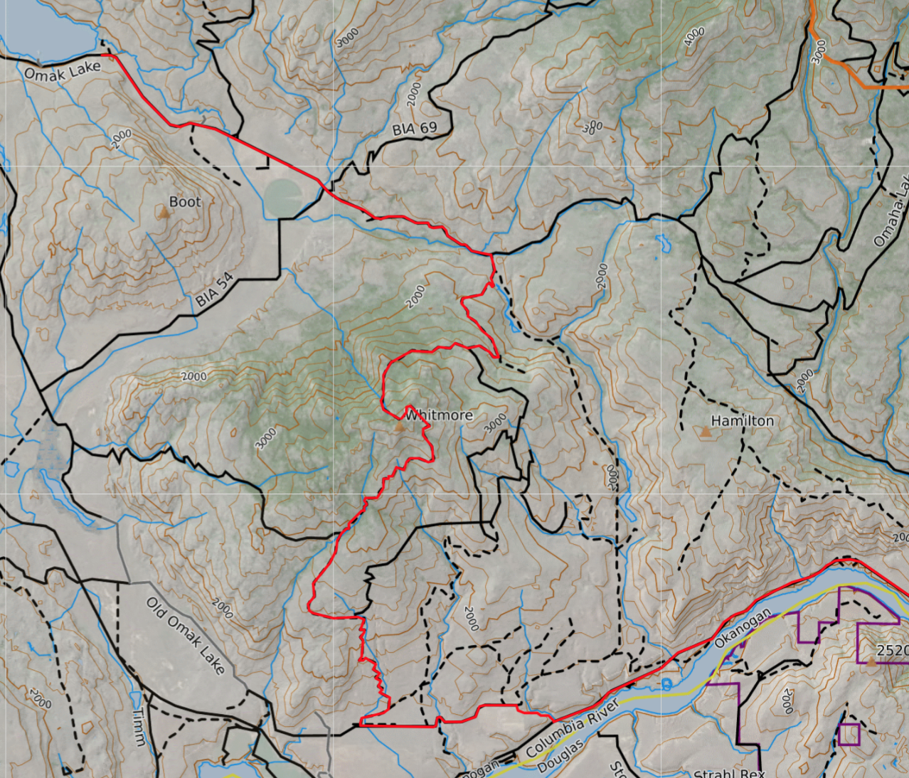
There are multiple ways to reach the Whitmore fire lookouts with approaches starting in Omak, Nespelem, and Bridgeport. When I visited in 2017 I started from Nespelem. From there, take a right on the Schoolhouse Loop Road and continue 5 miles to the Columbia River Road. Turn right, and follow Columbia River Road 11 miles to a right turn onto Old Omak Lake Road. There is a sign for the Whitmore Lookout at the turn. In 0.6 miles turn left onto Old Omak Lake Road and continue 2.2 miles across Saddle Horse Flat. Turn right on BIA Road 67. Stay left in 0.5 miles and follow BIA Road 67 7 miles to the lookout.
The cab site is located just northeast of the summit at approximately 3,880′ and takes a little hunting to find.
On my exit, I continued on BIA 67 to the north/north-east about 4 miles to the junction of BIA 54 (Omaha Lake) and drove past Omak Lake, eventually coming out in Omak.
Be aware that some roads may or may not go through and Google Maps won’t help on this one. Road conditions on the Colville can vary dramatically year to year and the clay is known to be incredibly slick in wet conditions. Definitely take a high-clearance 4×4 and a map and be well-prepared for alternate routes. The Columbia River Road is closed in winter.
Note: The 2021 Whitmore Fire burned over much of the area. Access conditions are unknown.
Note: To visit Colville Confederated Tribal land, non-tribal members must now purchase a recreation permit for $80/annually. Passes may be purchased online.