
Blue Mountains | Northern Blue Mountains
Umatilla National Forest
Location: 46.030527, -117.911578
Summit Elevation: 6,250′
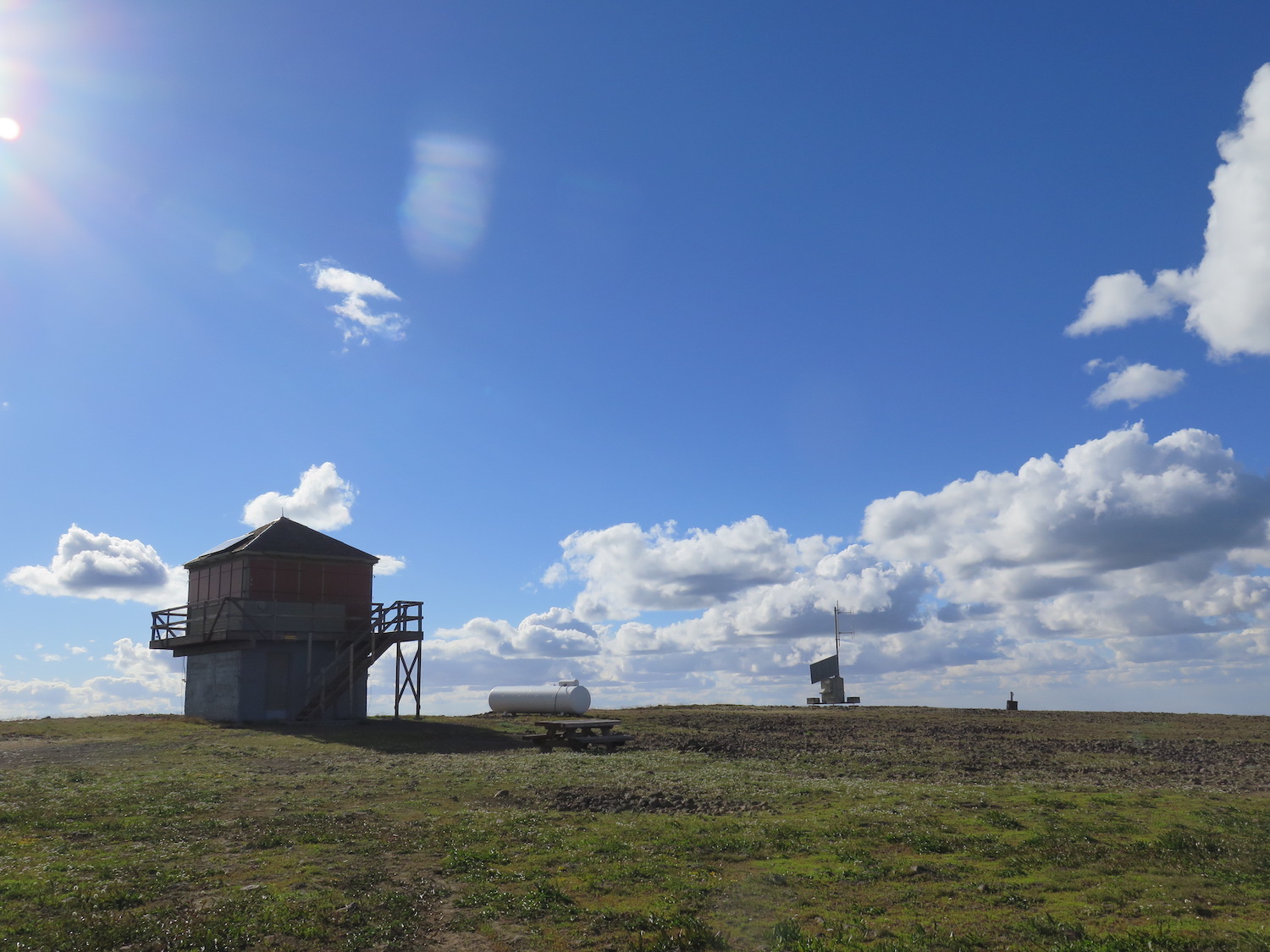
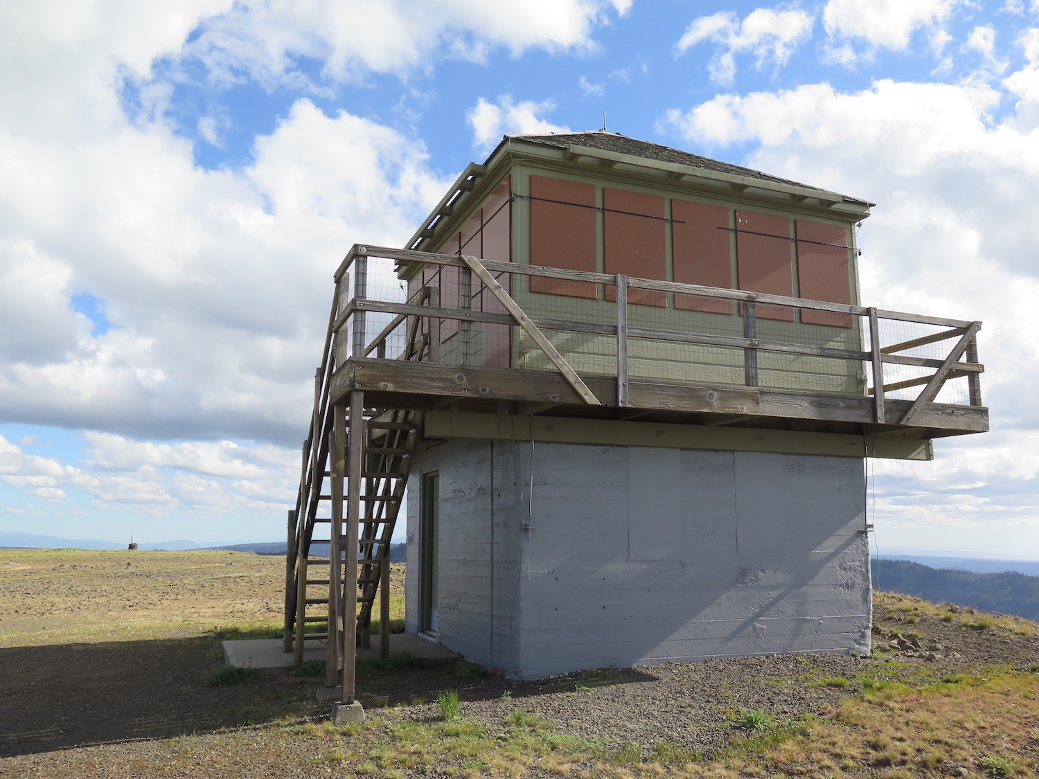
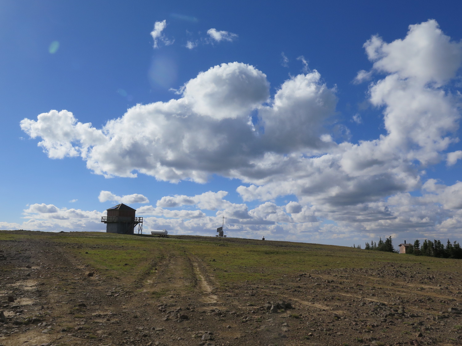
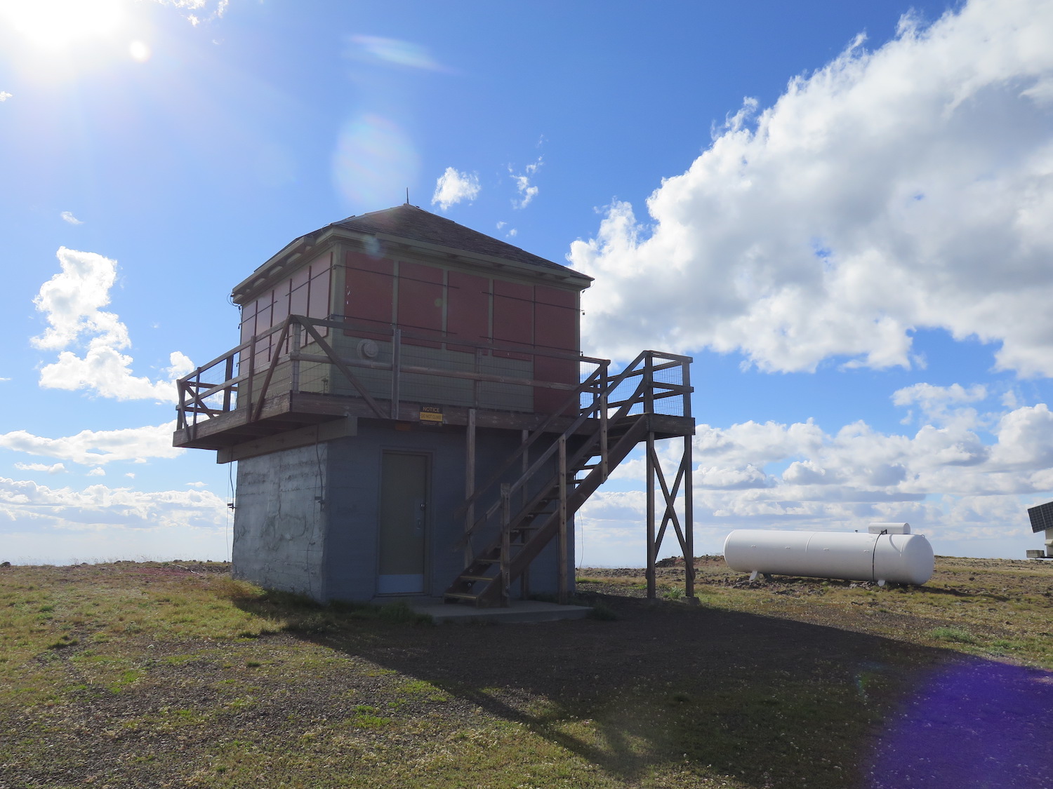
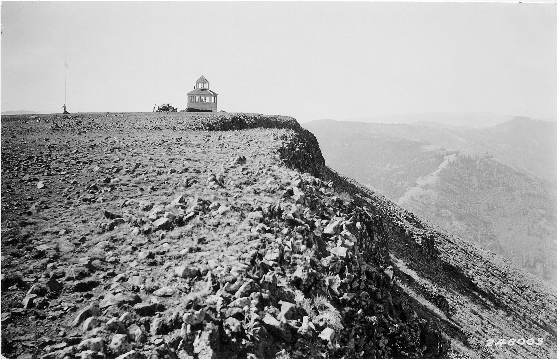
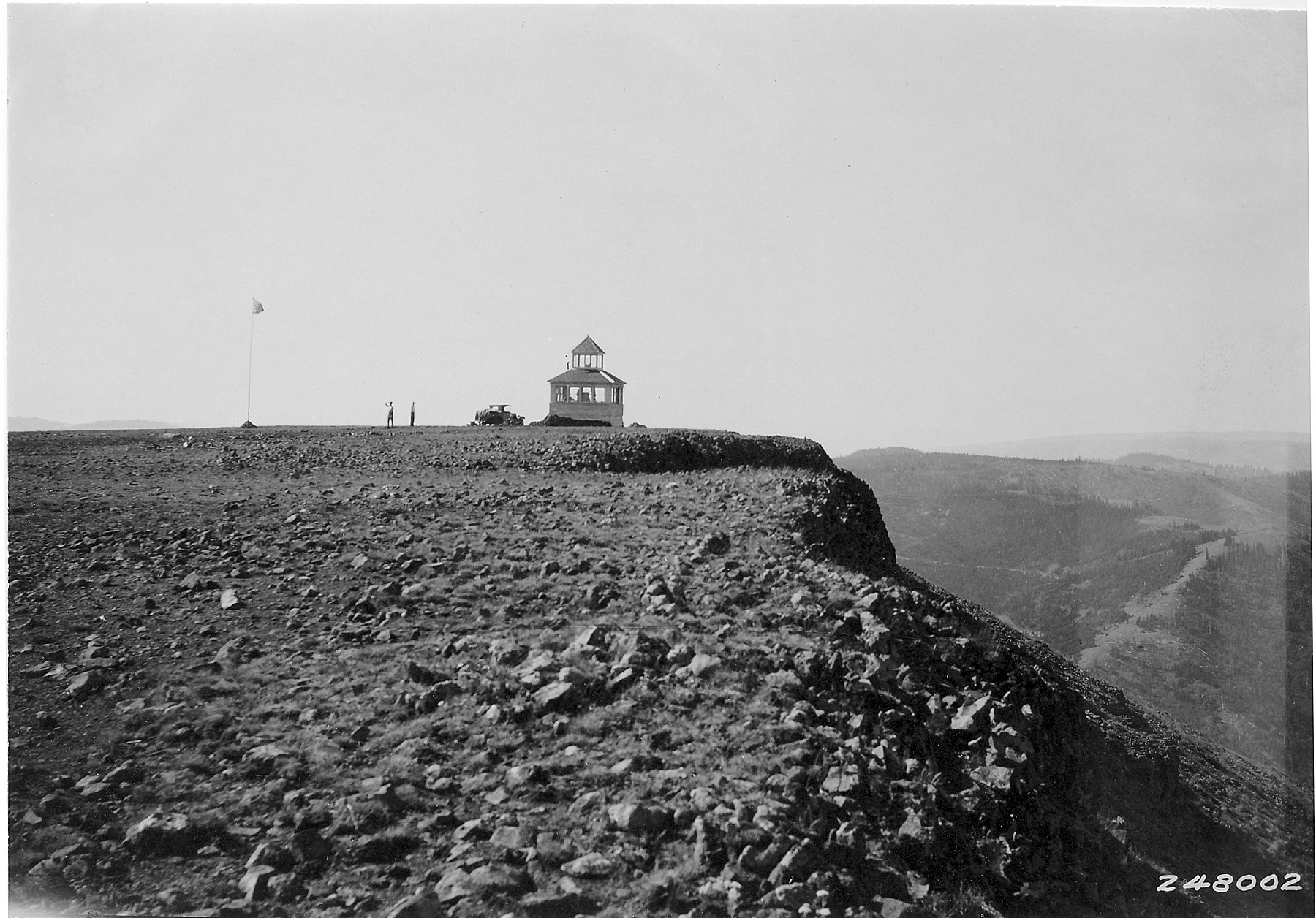
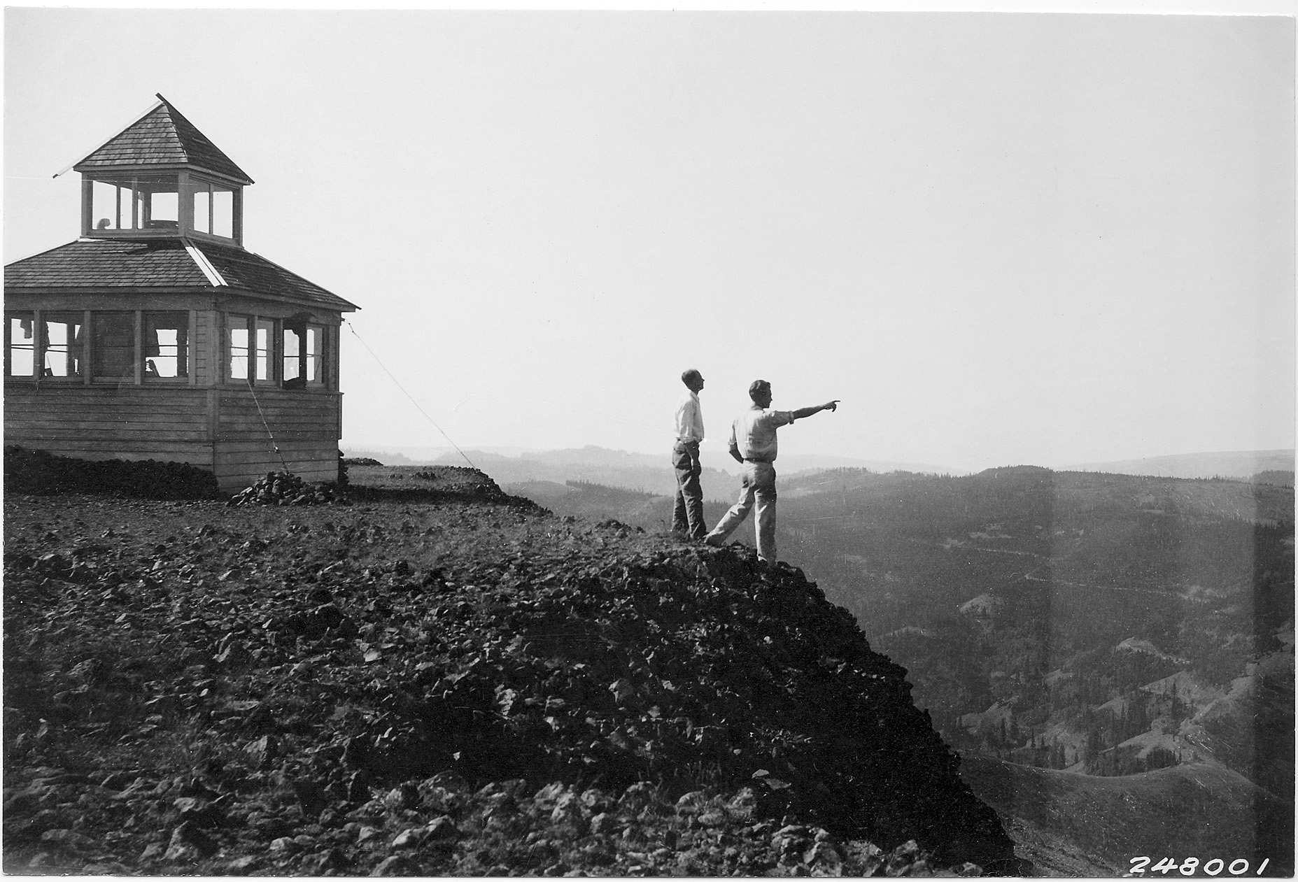
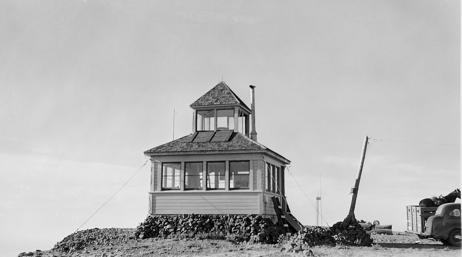
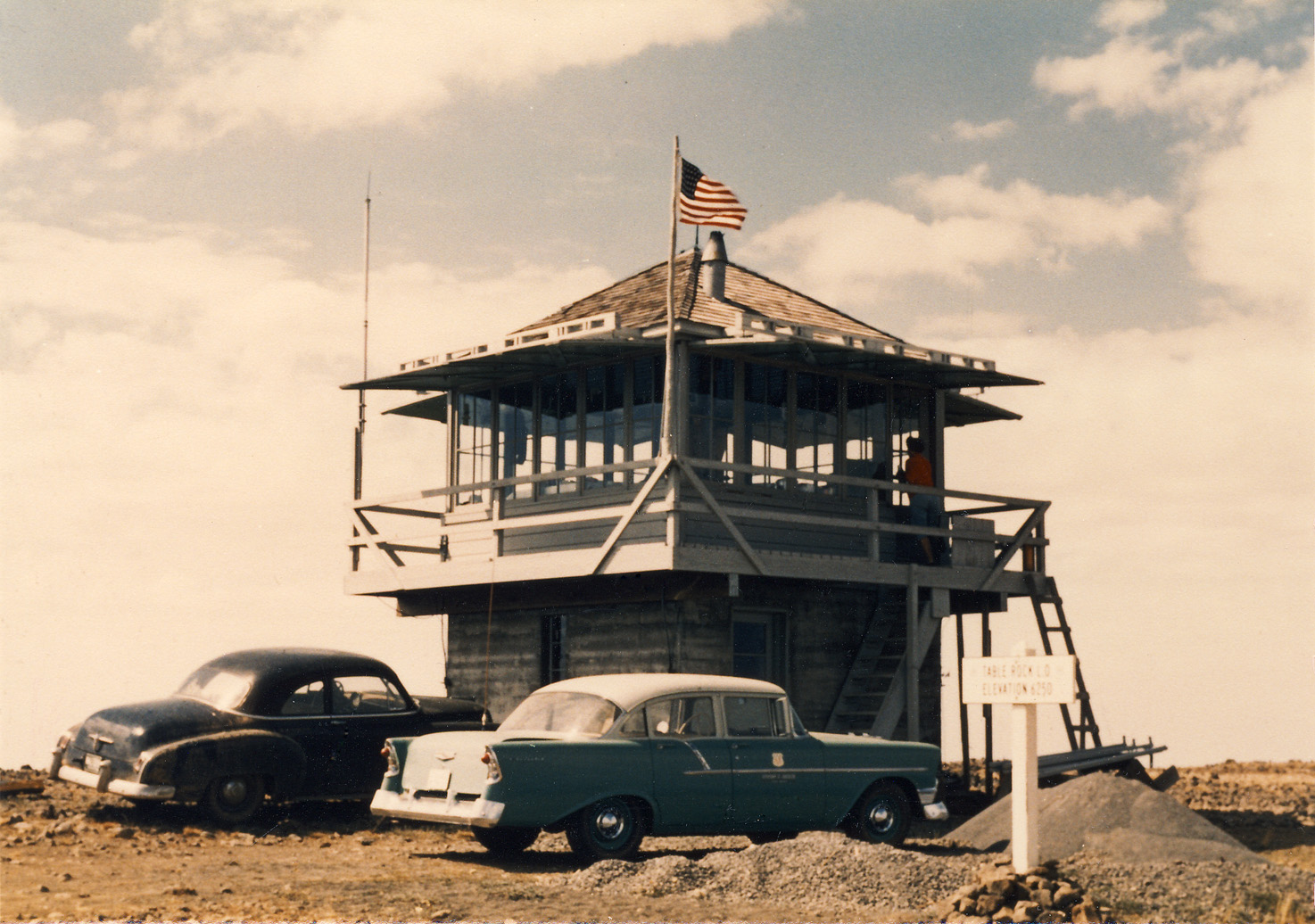
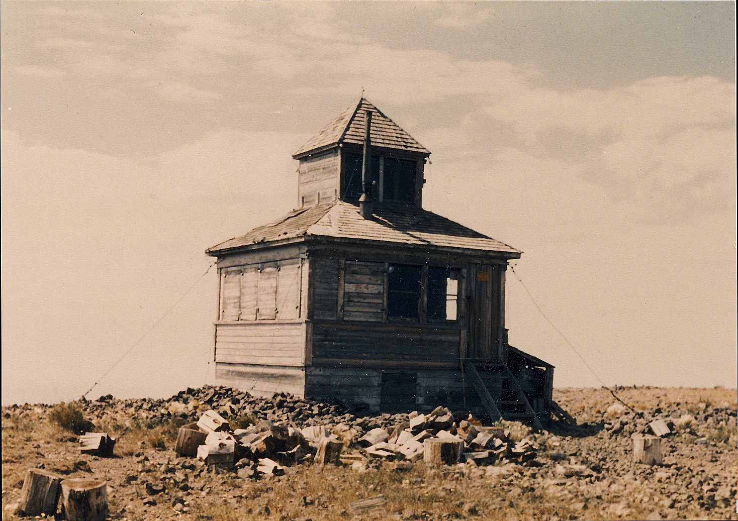
Lookout Type: 10′ concrete base L-4 cab
Site Established: 1929
Current Structure Built: 1949
Date Visited: 7/2/18
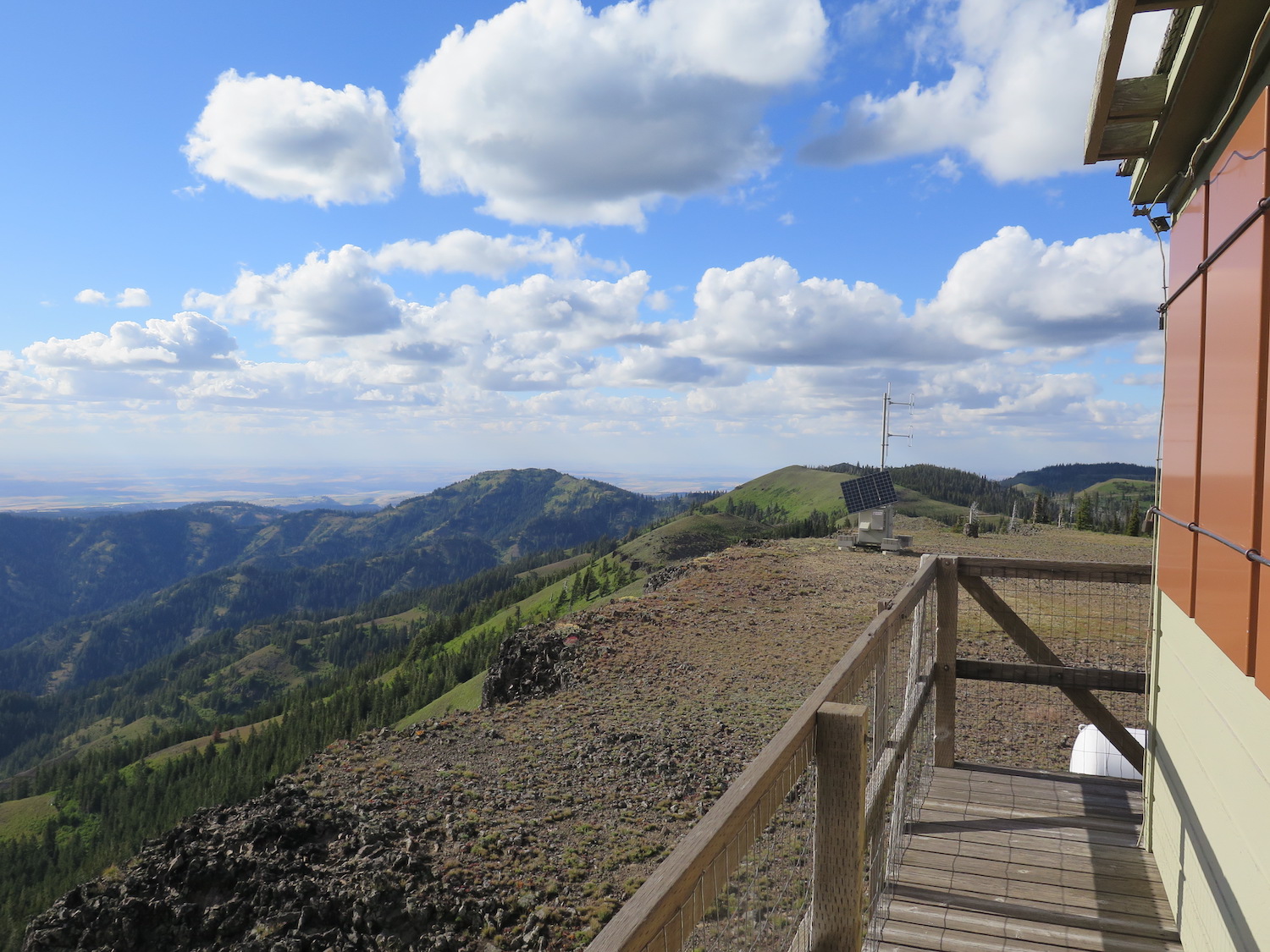
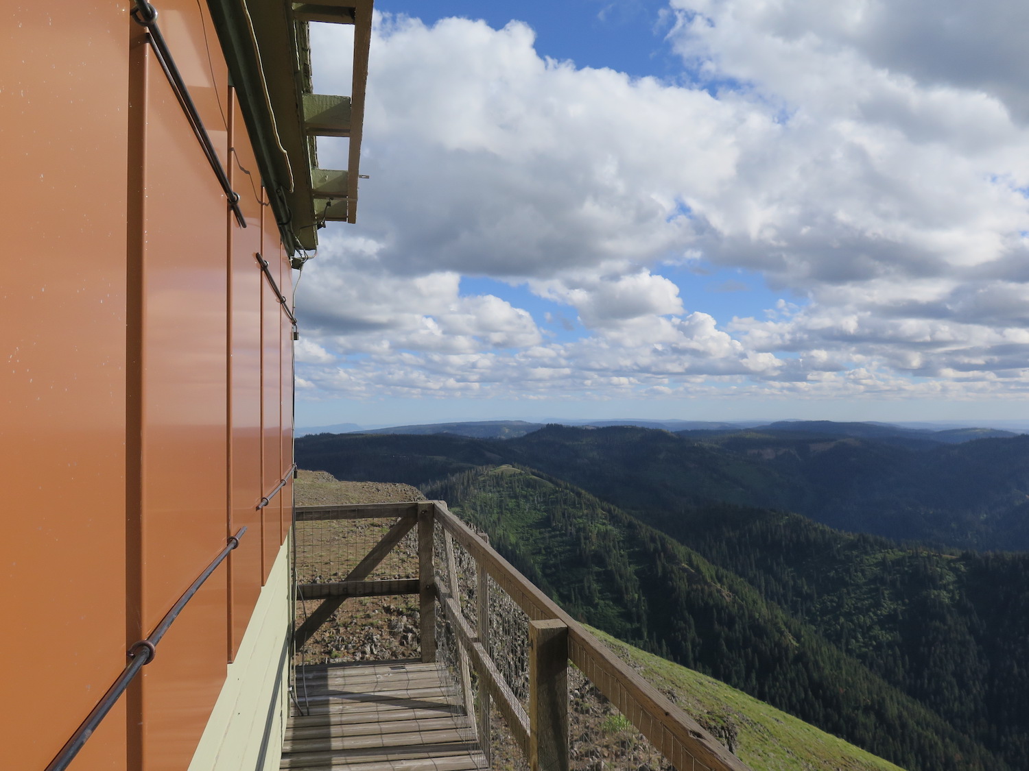
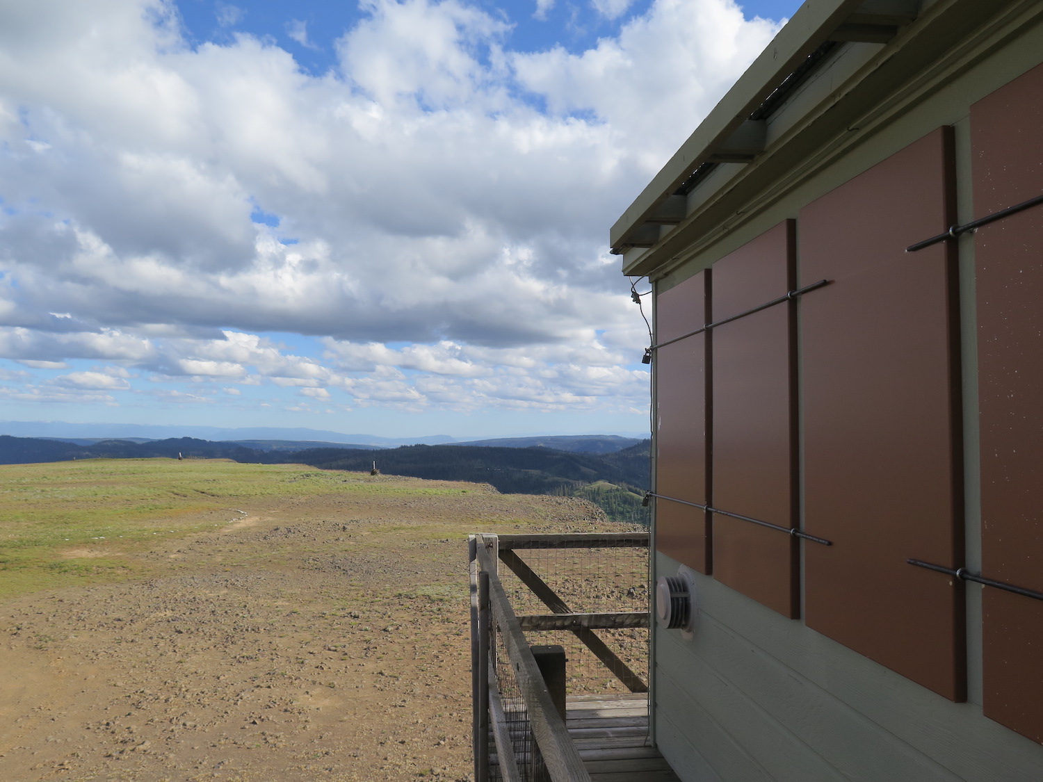
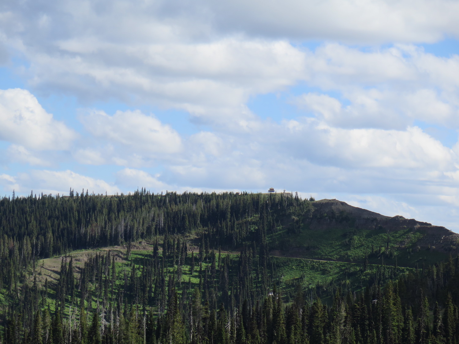
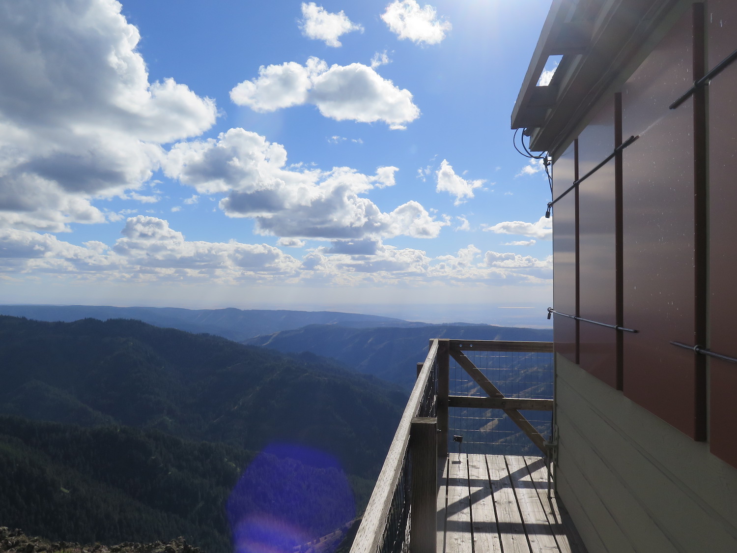
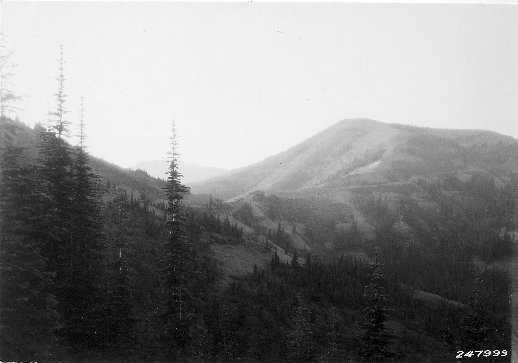
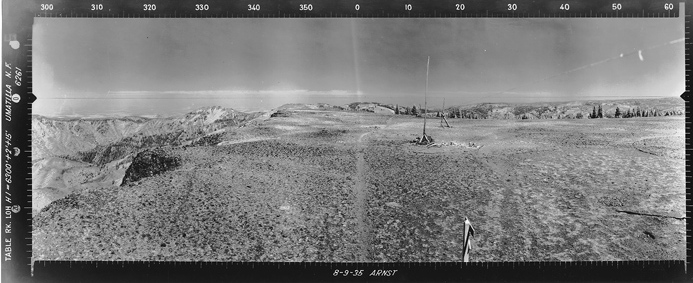
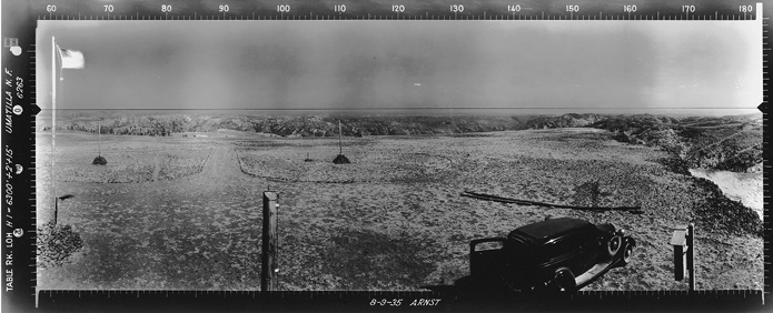
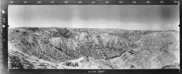
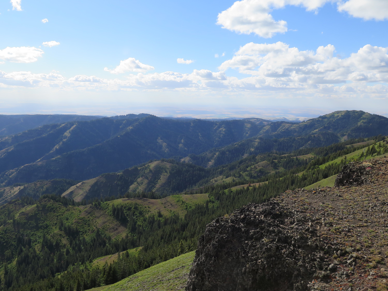
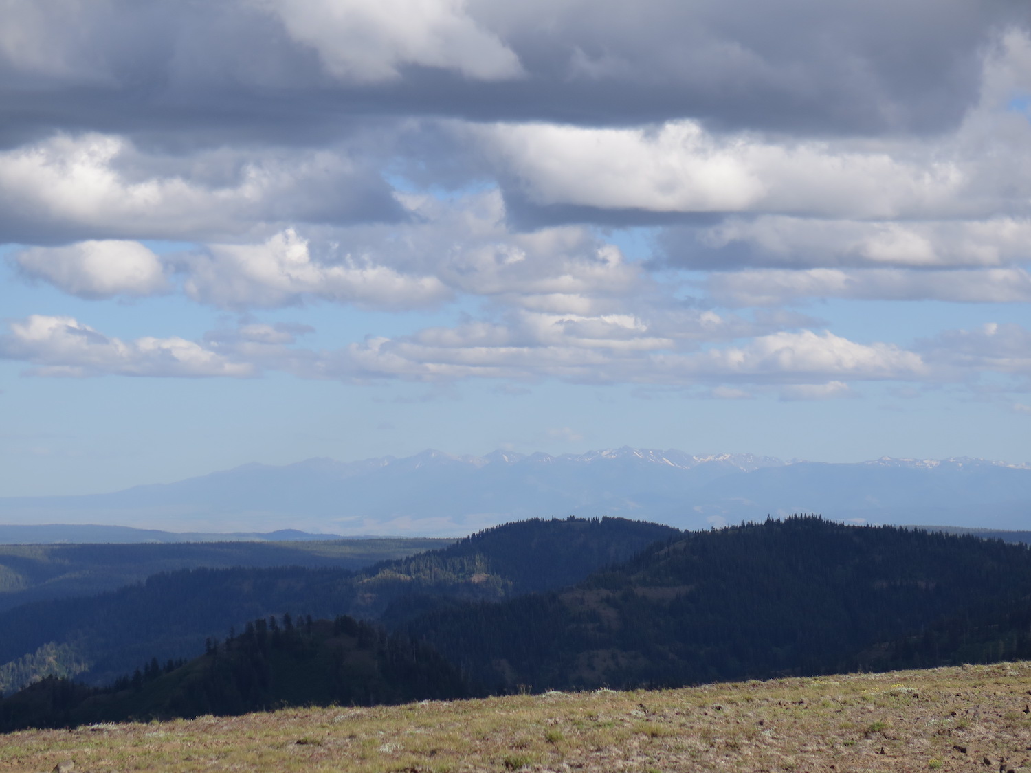
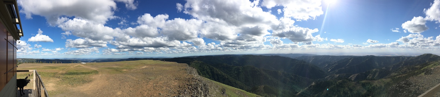
Table Rock sits atop a broad geological plateau of Columbia River basalt with over 1,000′ of prominence, offering spectacular views of the surrounding Wenaha-Tucannon Wilderness, the Mill Creek Watershed, The Wallowas in Oregon and the Seven Devil Range in Idaho.

Photos from 2018.
History.
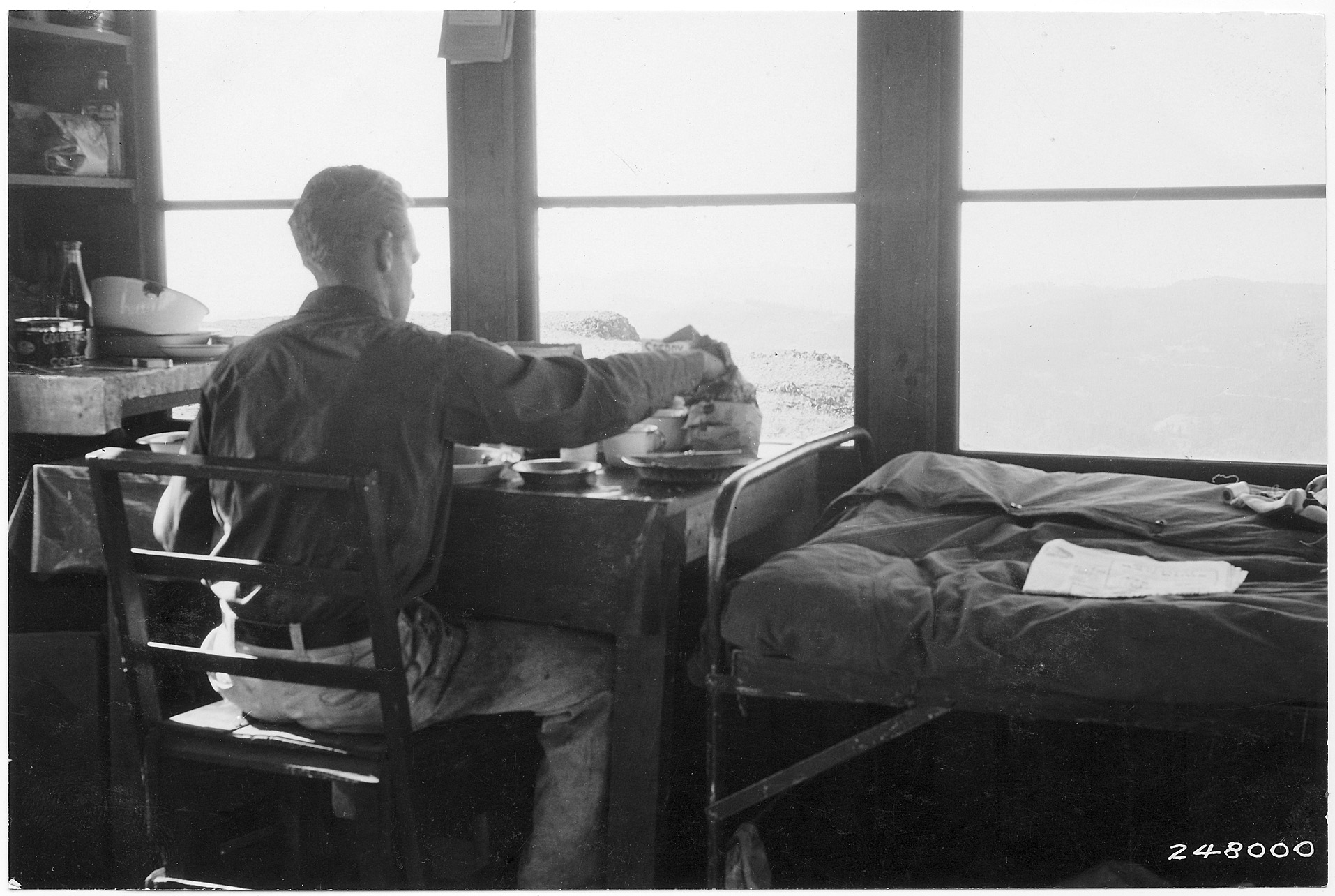
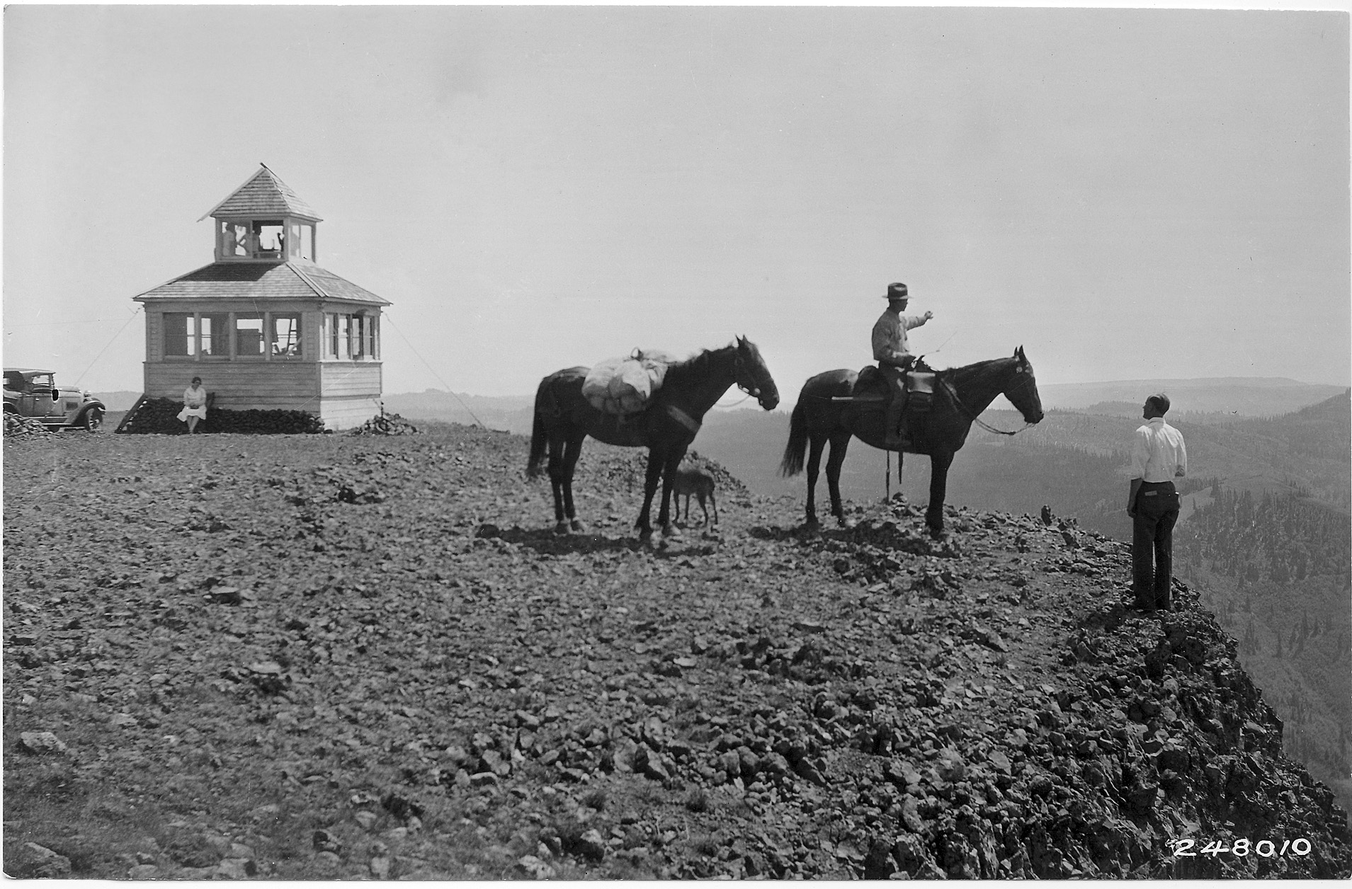
Table Rock was first in service in 1929 with a D-6 cupola, later replaced by the present L-4 cab atop a 10′ concrete base. The D-6 cupola was said to have survived on the summit into the late 1950s. In 1989, Table Rock had some modifications that included metal shutters, no doubt thanks to strong winds, and the lookout is usually staffed every year.
Table Rock is the third highest and second-most prominent peak in Columbia County. Being the highest peak in a 12 mile radius, it offers a fantastic panorama that includes the Seven Devil Range in Idaho and Oregon’s Wallowas.
The route.
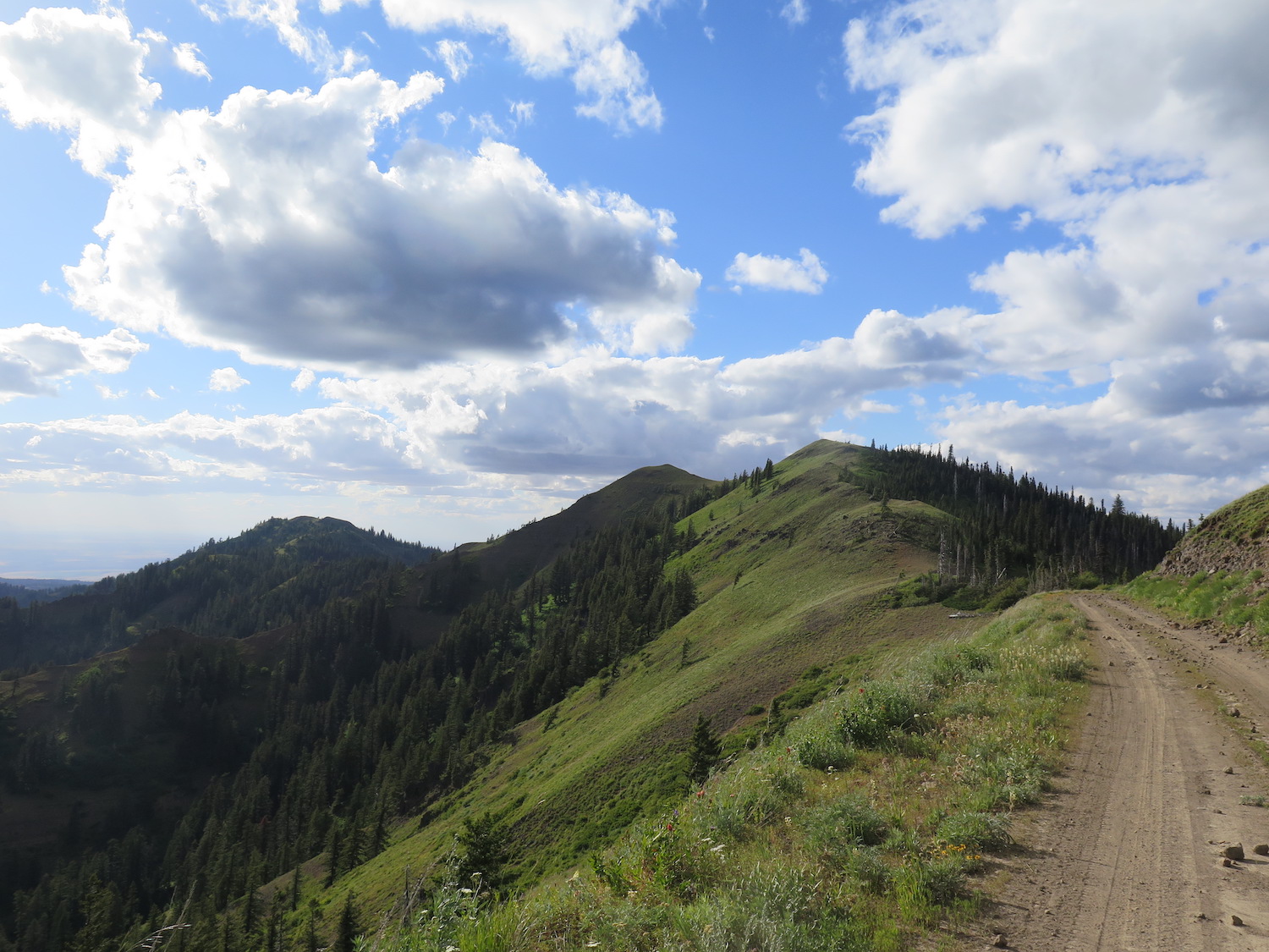
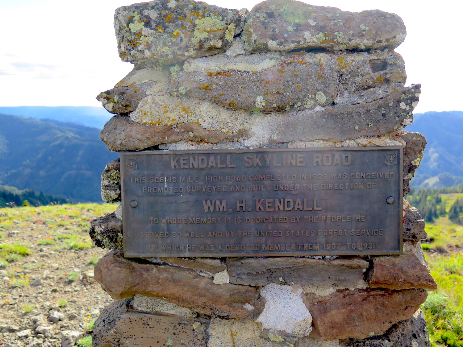
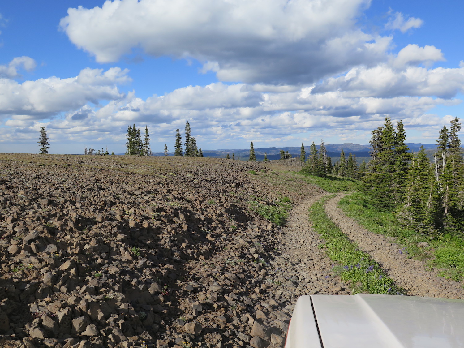
It is possible with a high clearance 4WD to drive all the way to the summit plateau of Table Rock if the gate a half mile from the summit is open. Most of the route follows the Kendall Skyline Road, named for William H. Kendall, a former U.S. Forest Service supervisor who organized the road-building project in 1928. At the top of the ridge, a large bronze plaque memorializing William Kendall is located just to the west of the road. The last 4 or 5 miles are rough with sharp basalt rocks.
It’s advisable to be prepared and carry a tire patch kit just in case. The road is remote, primitive and high-elevation with a short season. It is generally only graded once or twice per year and can be very rough. The Walla Walla Ranger District is the best point of contact for road conditions.
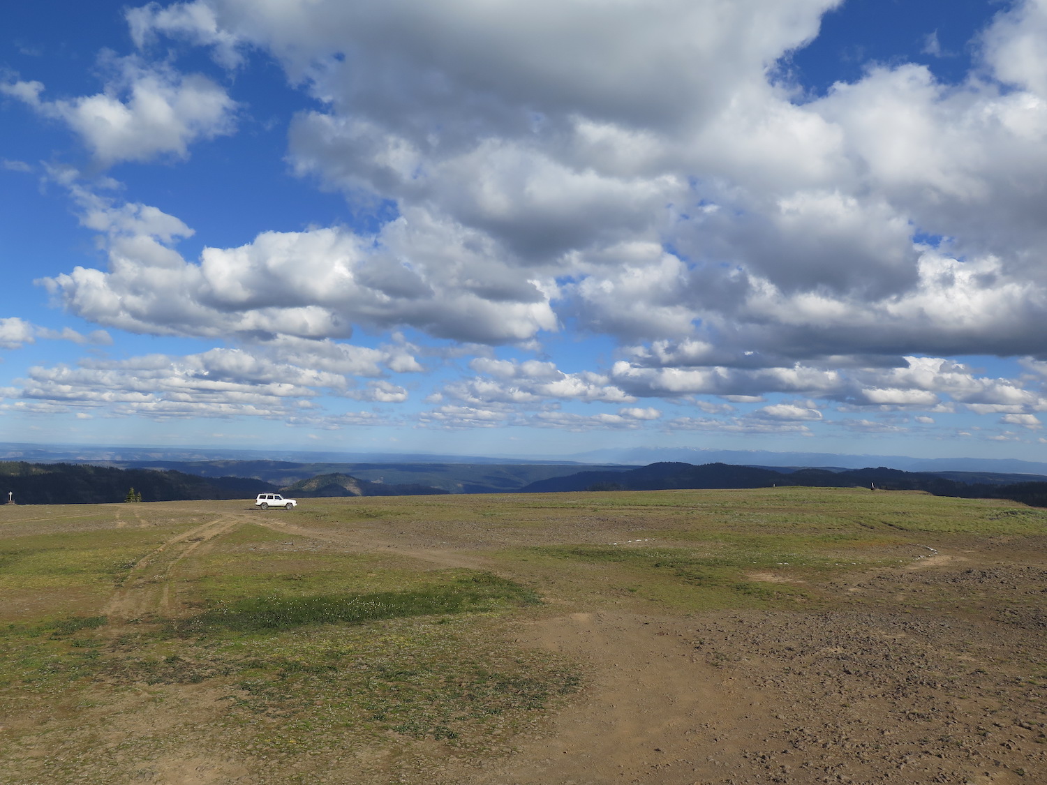
Per Umatilla National Forest, no camping is allowed on the summit or summit plateau of Table Rock but numerous camp spots can be found on the road below. Access to the neighboring Mill Creek Watershed is also off limits since it provides drinking water for Walla Walla. If you drive on the plateau, please use existing tracks and parking areas.
Directions.
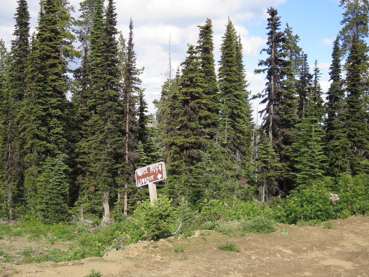
From Dayton, WA, drive southeast on North Touchet Road toward the Bluewood Ski area for about 21 miles. This road eventually becomes the Kendall Skyline Road, named for William H. Kendall, a former U.S. Forest Service supervisor who organized the road-building project in 1928. Near the ski area continue on NF-64 another 6 miles, then turn at the sign for Table Rock onto FR-475, one mile from the summit.