North Cascades | Mountain Loop Area
Mount Baker-Snoqualmie National Forest
Location: 48.318304, -121.60305
Summit Elevation: 3,824′
Lookout Type: 41′ R-6 tower
Site Established: 1962
Current Structure Built: 1965
Date Visited: 7/29/18
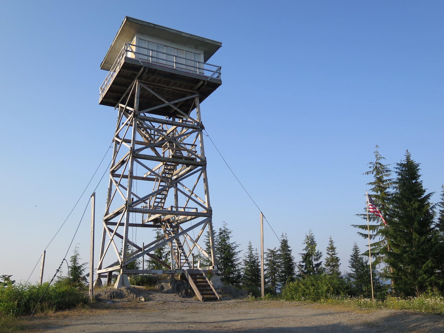
Built in 1965, the North Mountain lookout used to guard the North Fork Stillaguamish Valley. In 2013 the Friends of North Mountain began a multi-year project to restore the lookout and as of summer 2021 it was made available for overnight rentals.
Photos from 2018. Unfortunately I don’t have more due to wildfire smoke and angry horseflies.
History.
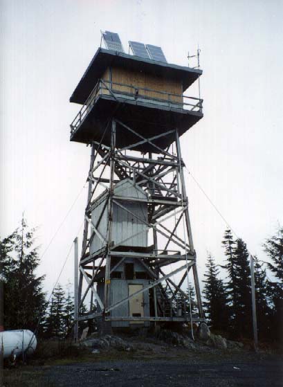
North Mountain began as a fire camp in the early 1960s before the current structure was built in 1965. The current structure’s R-6 cab was a new pre-fab style developed in 1963 by the Forest Products Lab in Madison for helicopter transport, primarily for use in the west. The final designs were developed by Gray and Evans, consulting engineers, in Seattle. Unlike many surrounding lookouts that were shuttered, North Mountain remained active into the 1980s and occasionally after that for emergencies.
North Mountain was plagued by vandalism and back in 1998, there were early plans to restore the lookout. Windows frames from a lookout in Idaho were transported to the summit but the work was never carried out. The tower was proposed for removal in 2009 and officially closed to the public due to damage from vandalism. ln 2013, local Darrington residents formed the Friends of North Mountain and with assistance from the Forest Fire Lookout Association, pushed forward plans to restore the lookout to its former glory. The group conducted a historical inventory and cultural review, listed the lookout in the National Historical Lookout Register, and painstakingly worked to renovate the lookout according to original blueprints.
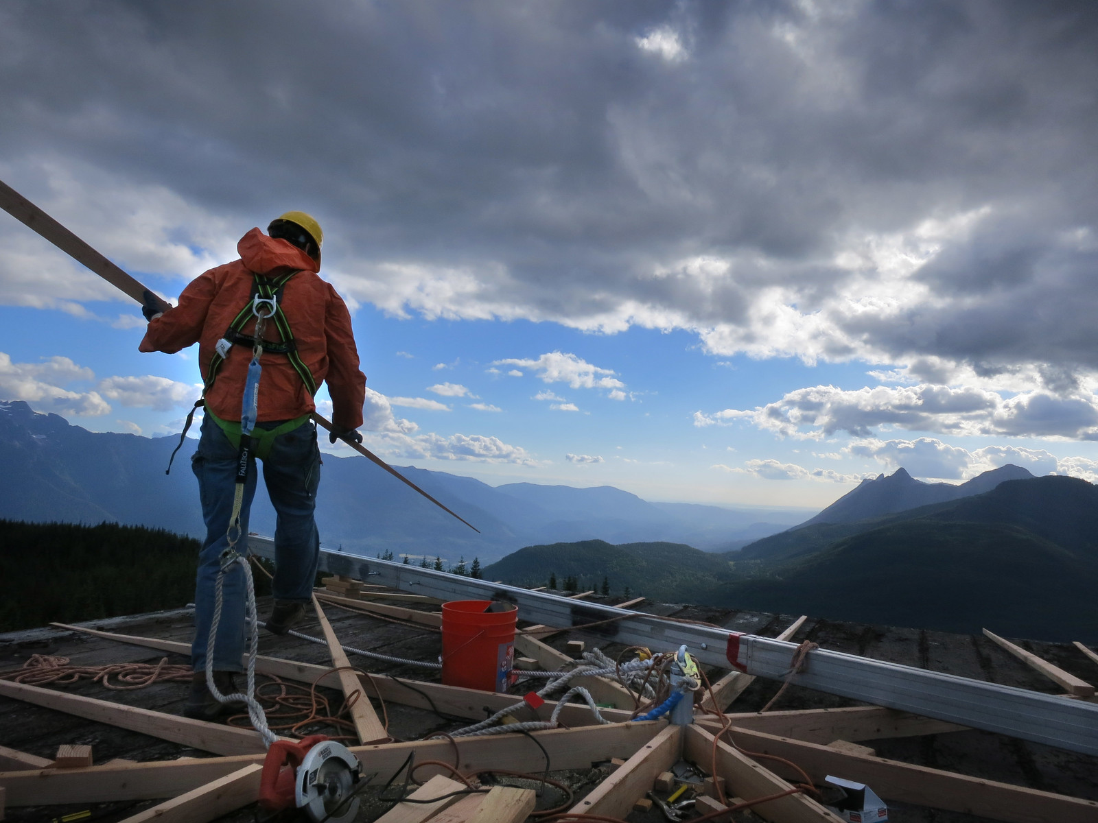
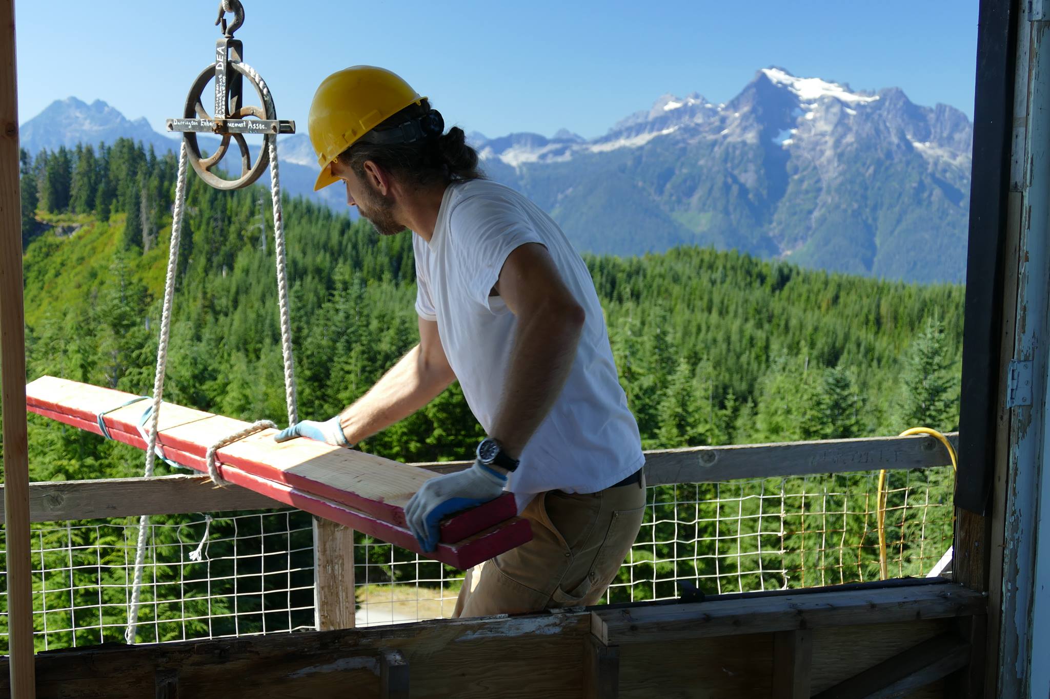
Friends of North Mountain rebuilt the catwalk and railing, replaced interior floors, installed a new lightning system, replaced windows, and re-roofed the structure. The work took several years and in June 2020, Filson, in partnership with the National Forest Foundation, offered the group a grant to aid in restoration.
In the summer of 2021, the lookout was officially listed on Airbnb for overnight rentals.
The route.
Distance (RT): 2.5 miles*
Elevation Gain: 443′
*If the gate is closed, it’s a short road walk to the lookout, otherwise it’s possible to drive all the way to the summit
When I visited the lookout in July 2018 the gate was closed because of the restoration, so I hiked what I thought would be an easy mile or so up the road. It actually wasn’t because the horseflies were so bad I ended up running at maximum speed all the way to the summit, using my hat as a weapon. Luckily the horseflies disappeared when I climbed the stairs of the lookout but if you visit this lookout in summer, beware. The horseflies can be nasty!
Directions.
From Darrington travel north on Highway 530 for just over a half mile and turn left onto Forest Road 2810 at the “Darrington Welcomes You” sign. The paved continues past Whitehorse County Park then narrows to one lane with pullouts. In 2.7 miles the pavement ends. Take a right at the Y. The road switchbacks up the mountain, so it’s helpful to have a map to follow the main route. Approximately 6 miles from the Y is a gate about a mile below the lookout that may or may not be open depending on the season. If closed, it’s an easy road walk to the summit.
