Southern Cascades | South Cascade Crest
Mount Baker-Snoqualmie National Forest | Kelly Butte Special Management Unit
Location: 47.1692648,-121.4926462
Summit Elevation: 5,400′
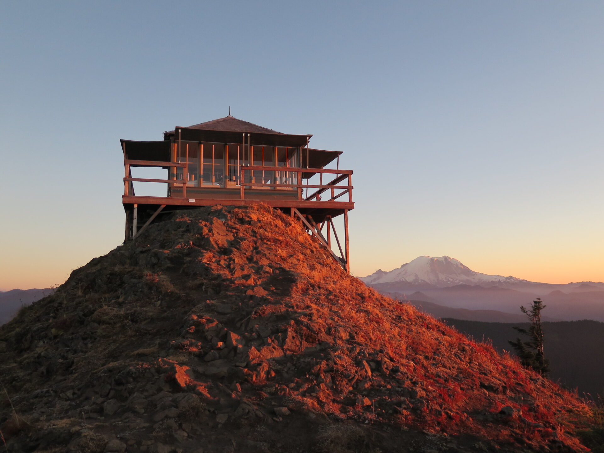
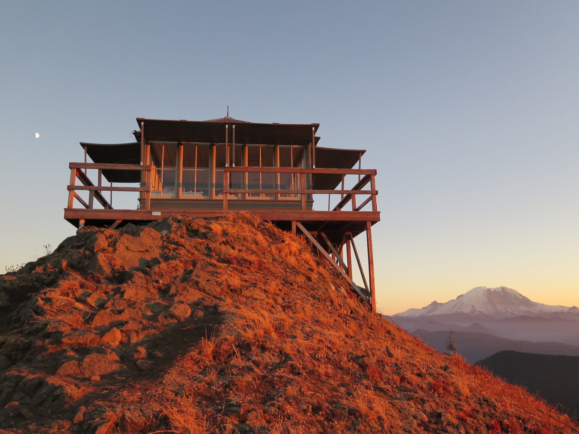
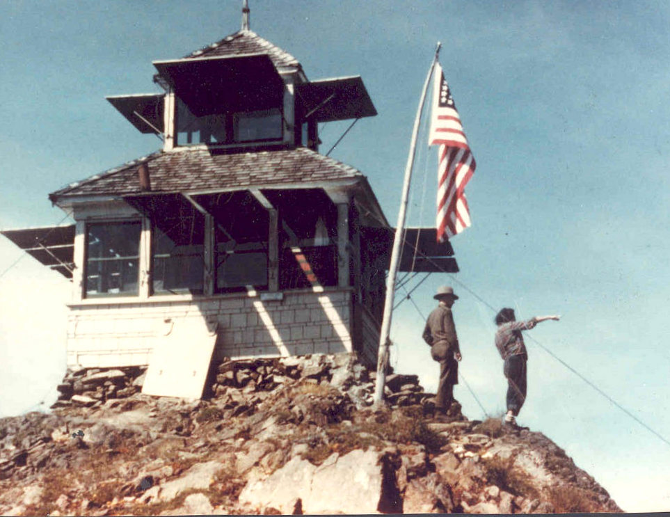
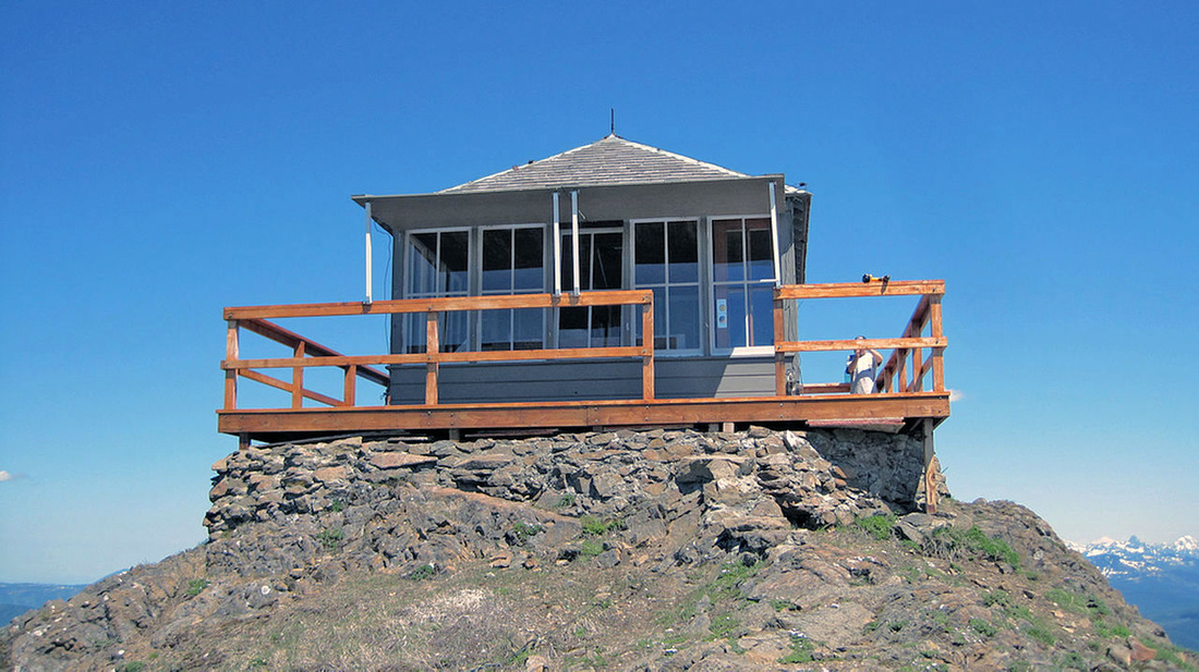
Lookout Type: 14’x14′ L-4 ground house cab
Site Established: 1926
Current Structure Built: 1950
Date Visited: 8/31/17
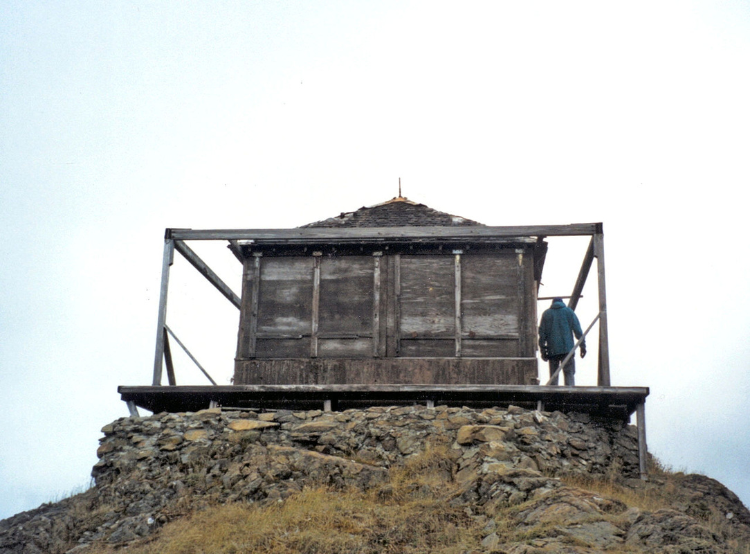
After falling victim to severe vandalism over the years, Kelly Butte was beautifully restored in 2011 thanks to the efforts of amazing volunteers who logged over 3,000 hours of effort.
The lookout is only open to the public when volunteers are present.
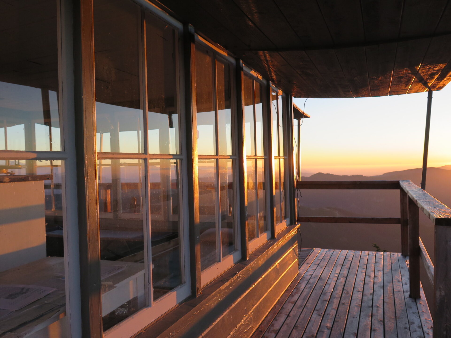
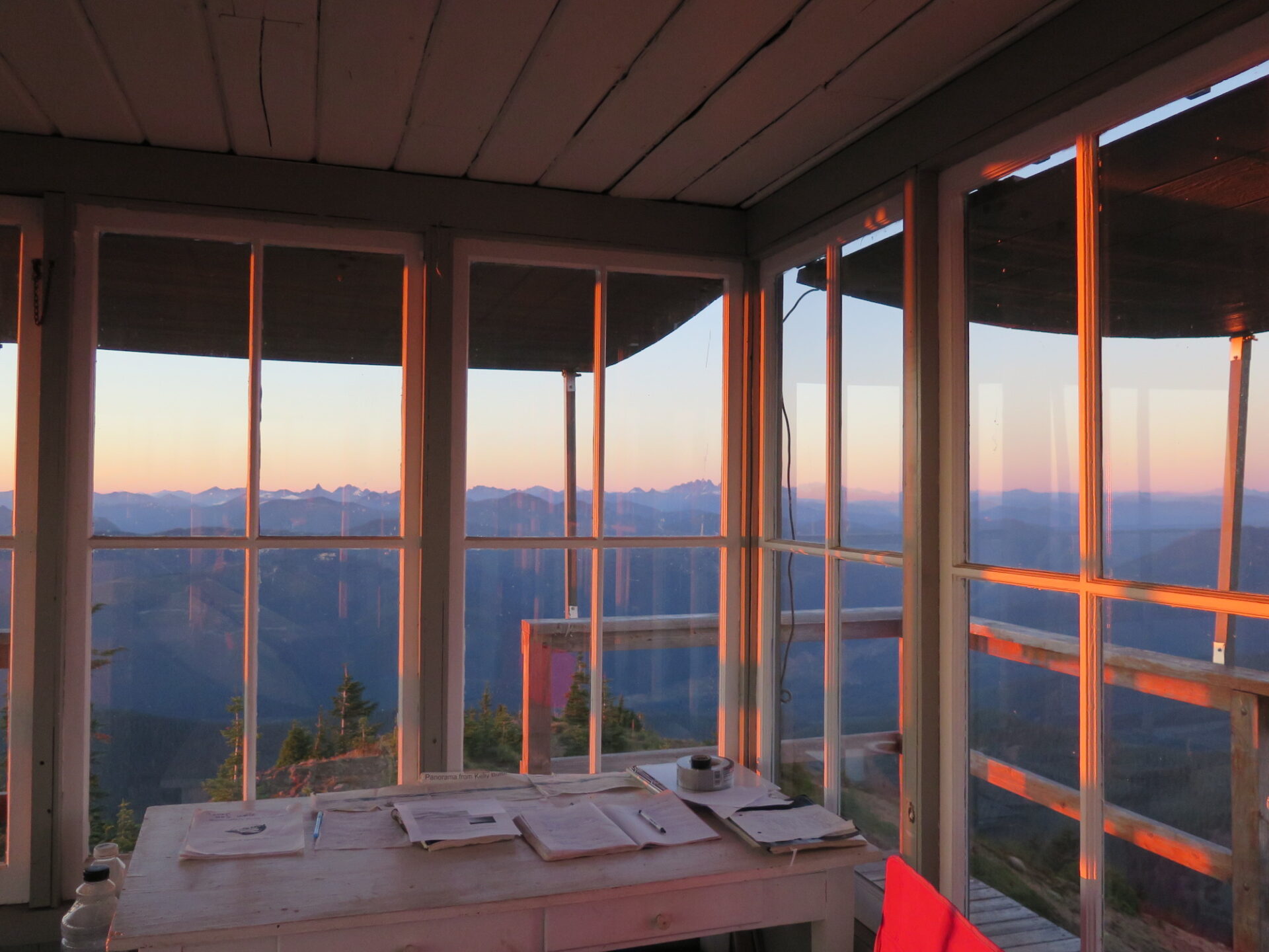
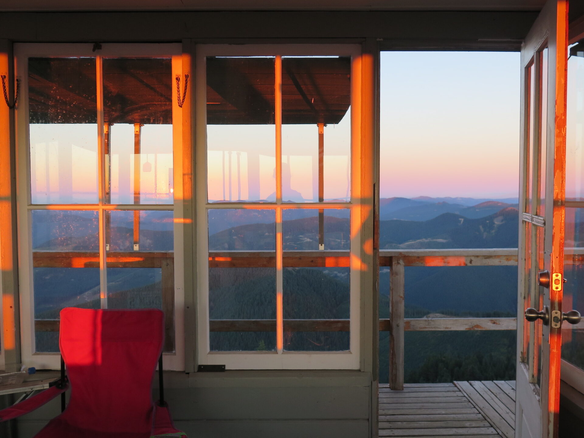

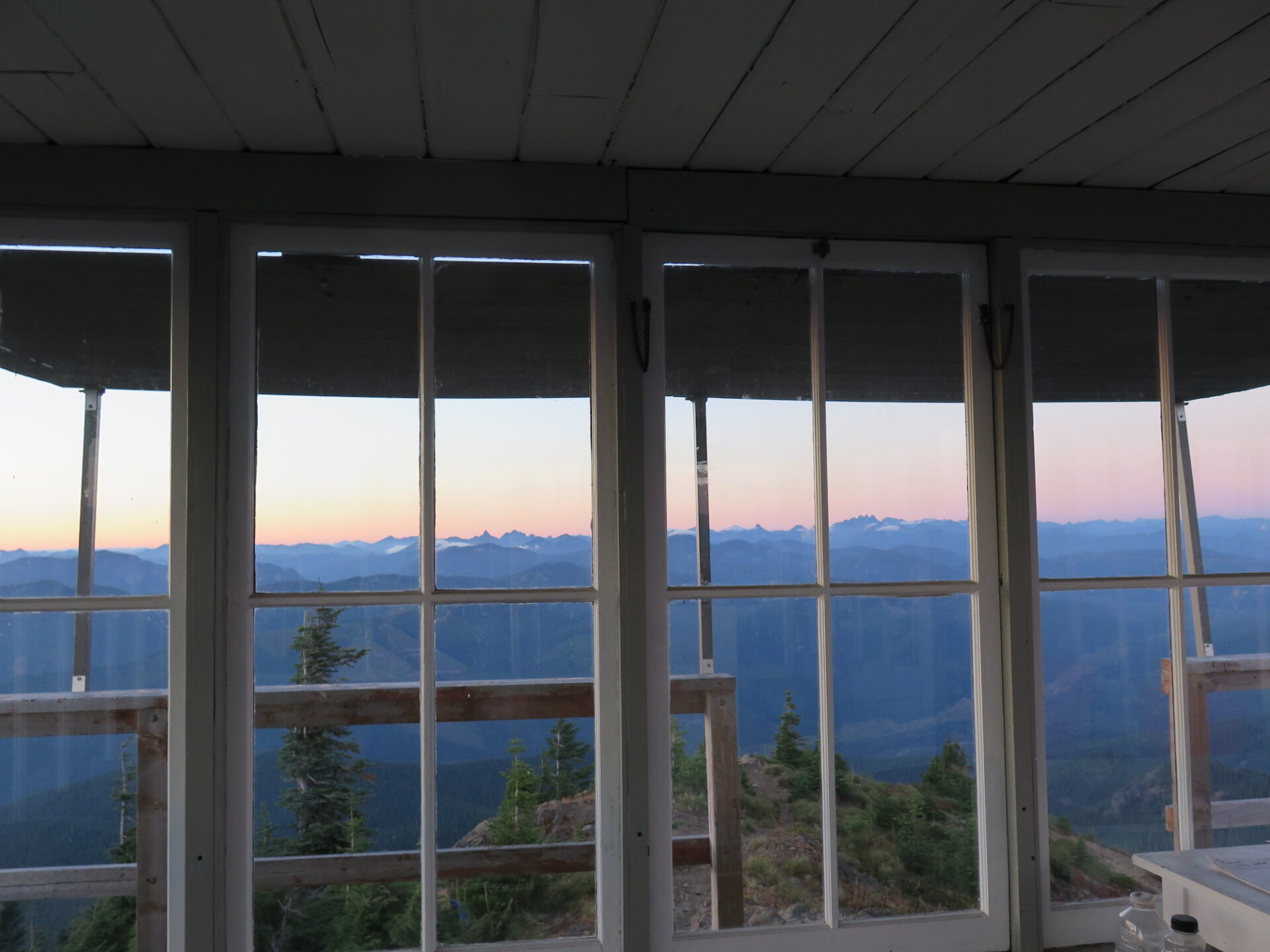
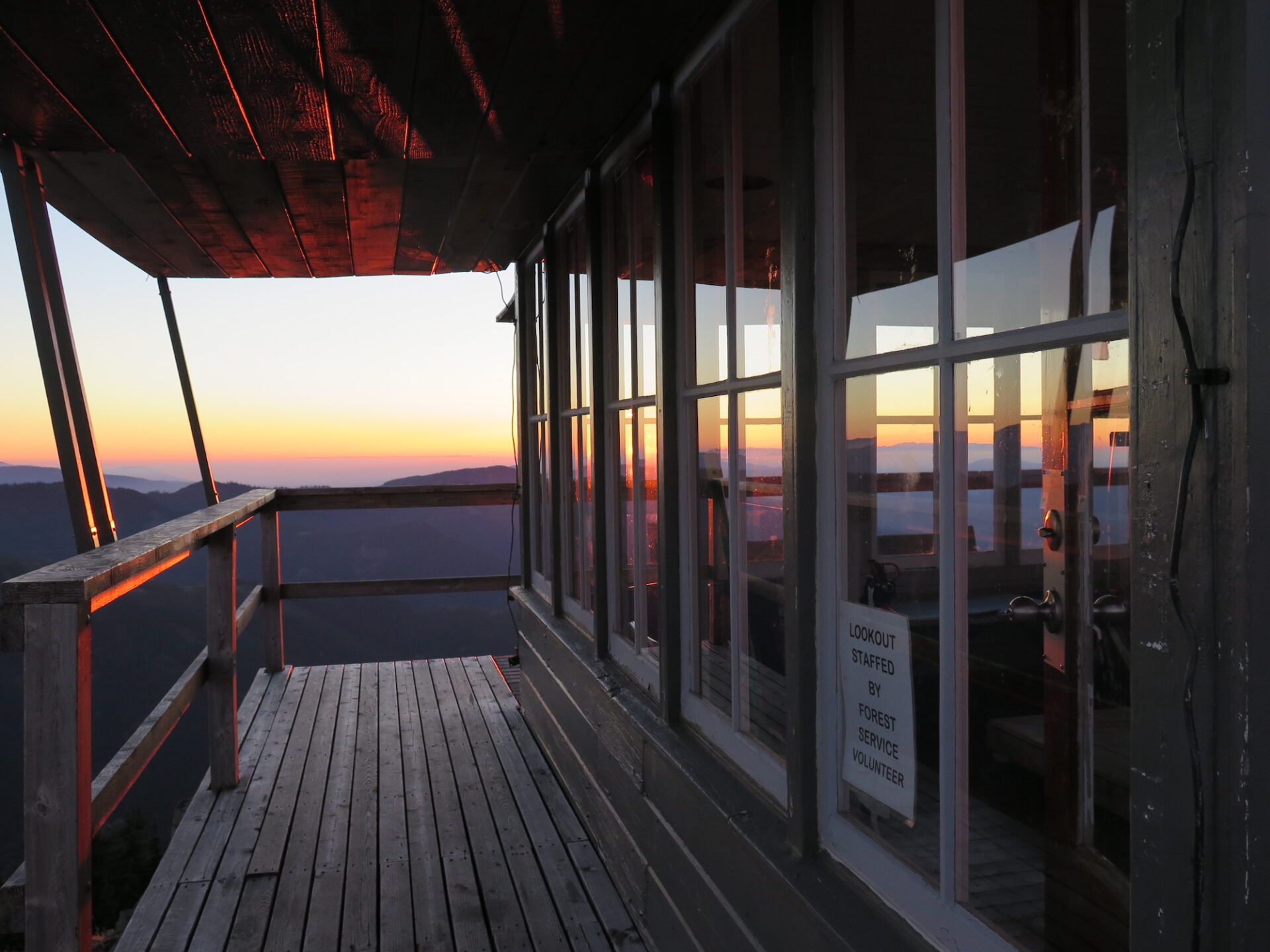
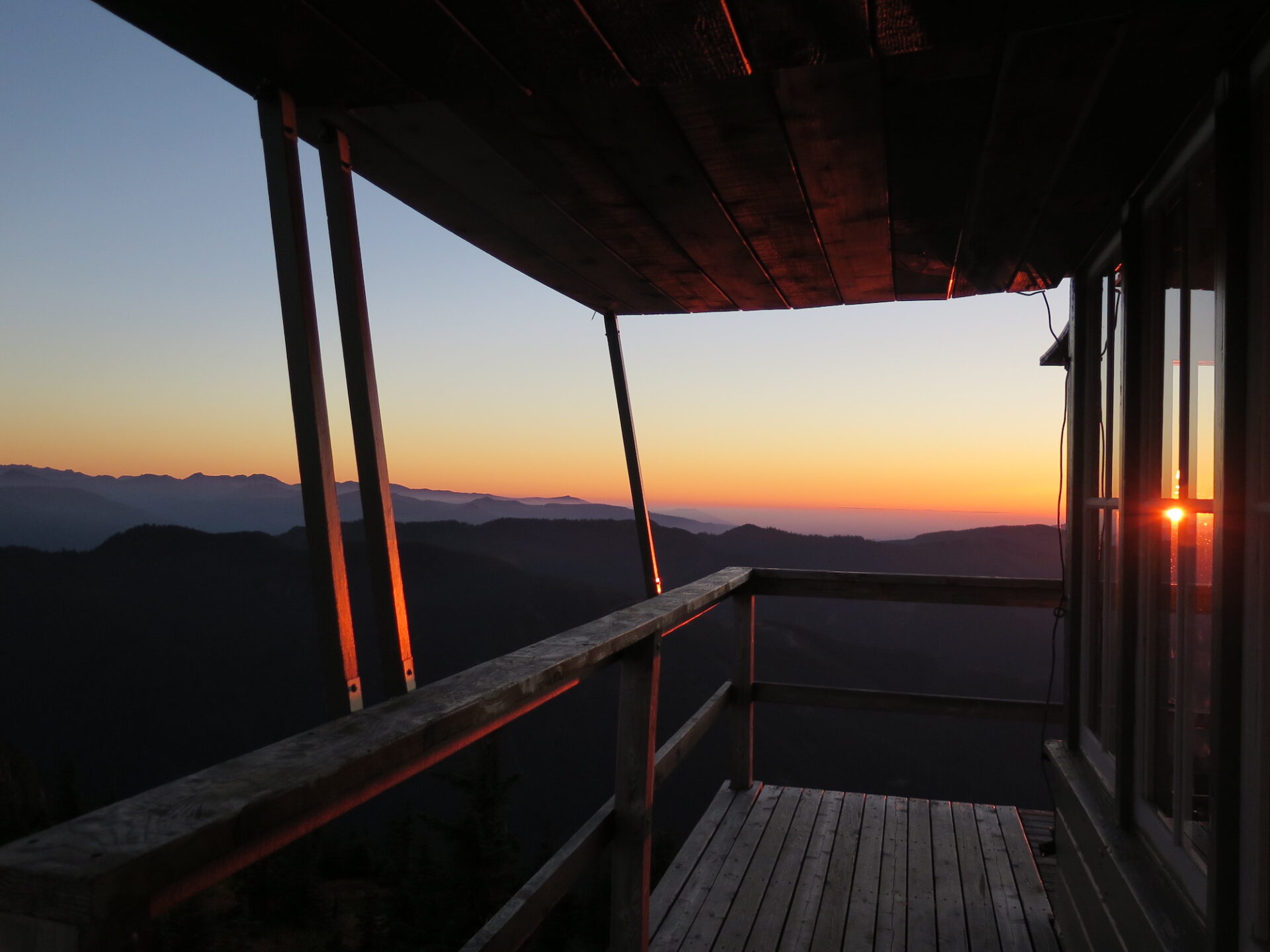
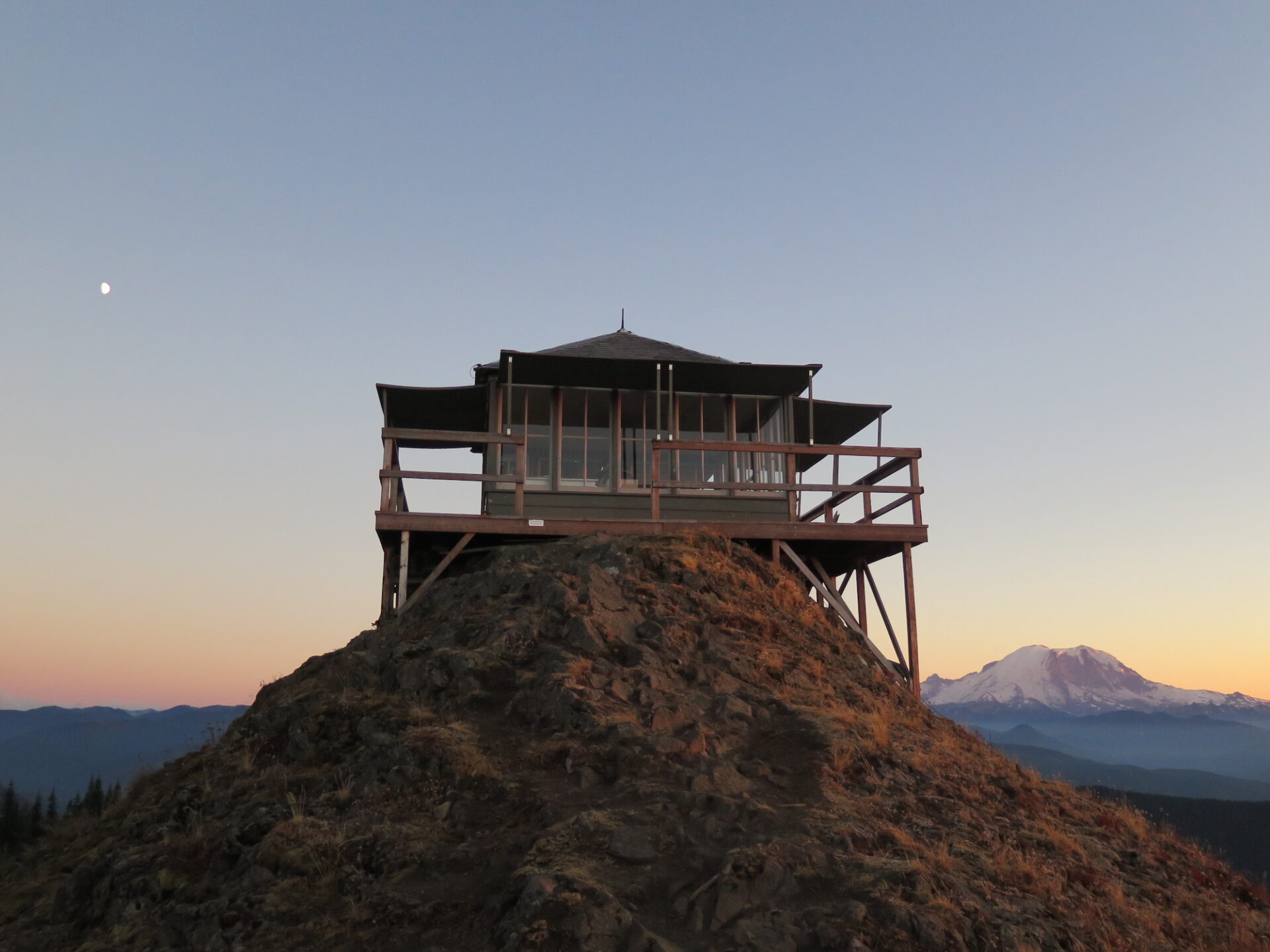
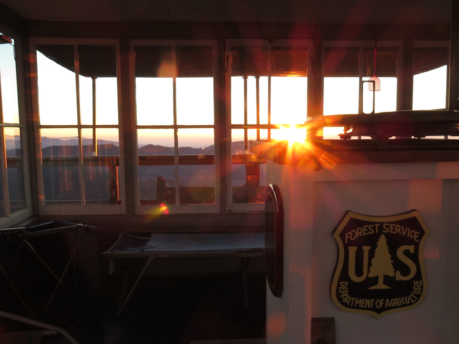
Photos from a 2017 visit.
History.
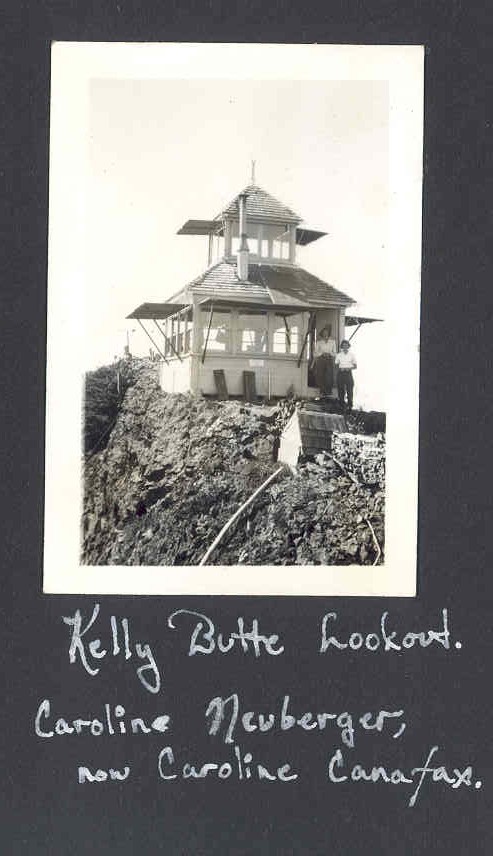
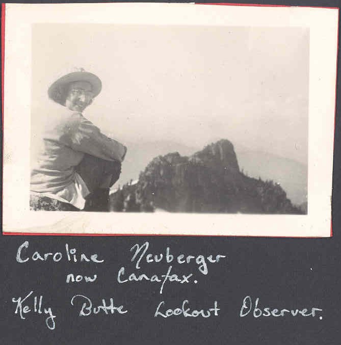
The first lookout at Kelly Butte was a D-6 12’x12′ cupola cabin built in 1926 by the Civilian Conservation Corps. It was replaced in 1950 with a 1932 14’x14′ ground house with catwalk and staffed until the 1980s.
The lookout fell into serious disrepair and in 2011 was restored with a new access trail thanks to Bob Adler and a team of volunteers. The shake roof was replaced the first year, then 80 window panes, 19 window frames, and 8 new shutters were built the following year. 140 hours were invested replacing the door and rebuilding shutters. After 3,000 volunteer hours, the Kelly Butte lookout is a beautiful site to see!
The route.
Distance (RT): 3.4 miles
Elevation Gain: 1,100′
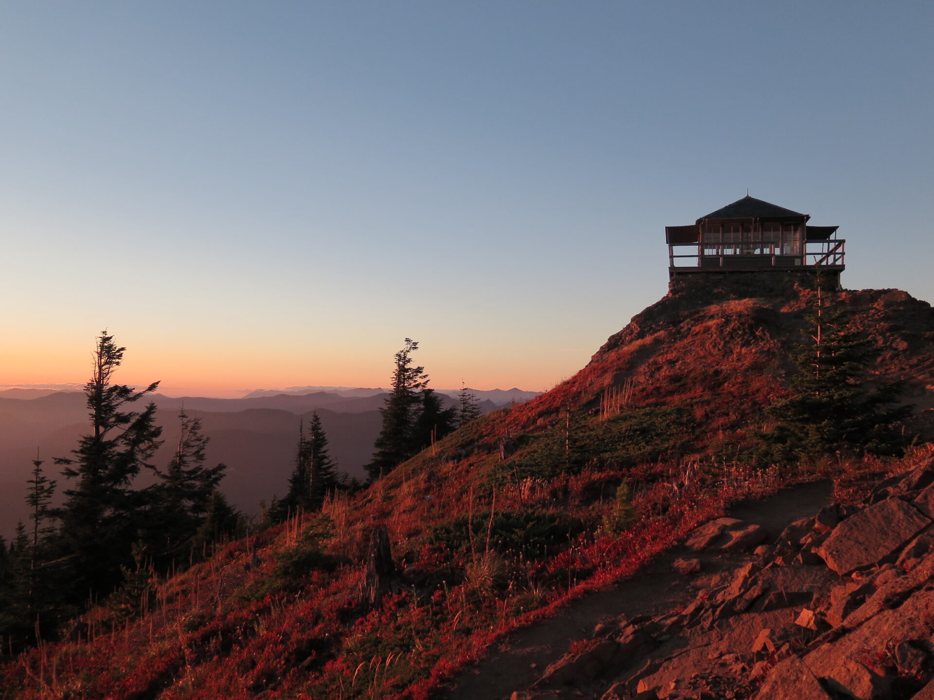
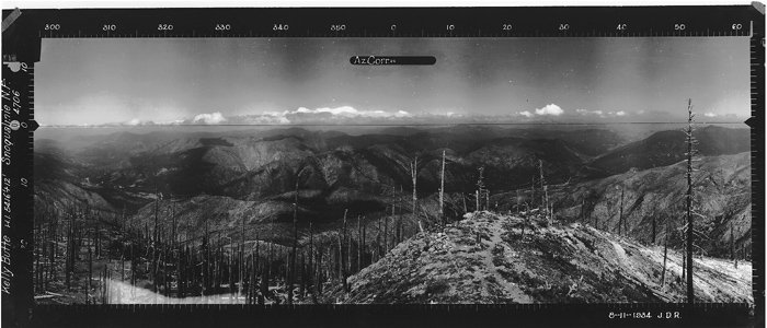
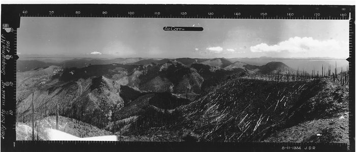
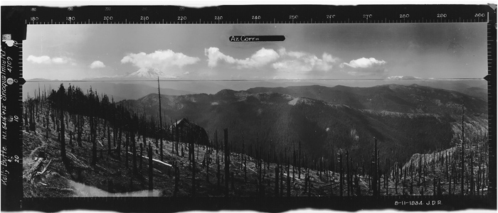
The trail begins on a former logging road lined by trees and large rocks. In less than a mile the wide trail turns to singletrack and begins a series a steep switchbacks, offering big views of Mount Rainier. At the top of the steep climb is a gentle traverse across a nice treed area before reaching the final rocky summit and the lookout. With the new trail construction, a tricky scramble is no longer required to reach the lookout.
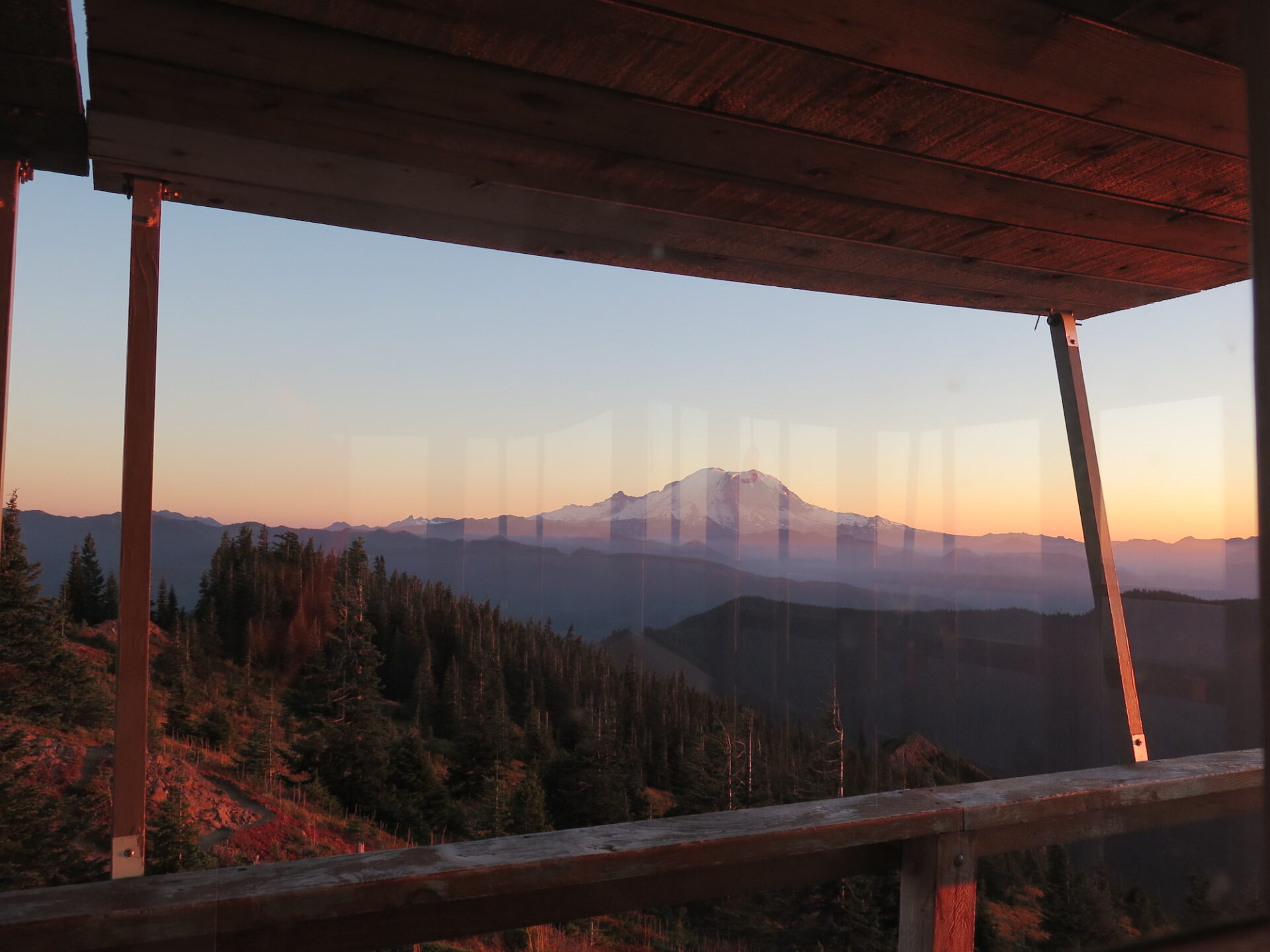
Enjoy the sweeping views of Rainier, Baker, and Mount Stuart from the top and if you’re lucky, the lookout may be open and staffed by a volunteer. Kelly Butte is no longer open to the public unless a volunteer is present.
Directions.
From Greenwater, drive 2 miles south on Highway 410, then turn left onto paved Forest Road 70. At 8 miles, turn left onto Forest Road 7030. Cross a bridge and several campsites at 8.3 miles, then come to a T intersection at 11.9. Turn left, staying on unsigned Forest Road 7030 all the way to Kelly Butte. At 12.4 miles, go straight, not to the right uphill. At 13.1 miles, turn right, where there may or may not be a sign that indicates you’re still on Forest Road 7030. You’ll pass some side roads at 13.6 and 14.1. The trailhead to Kelly Butte is on your left at 14.4 miles from turning off Highway 410. The road can be washboarded and steep in places, so I’d recommend a high-clearance 4×4 vehicle.