
North Cascades | Central North Cascades
Mount Baker-Snoqualmie National Forest | Glacier Peak Wilderness
Location: 48.20699, -121.02891
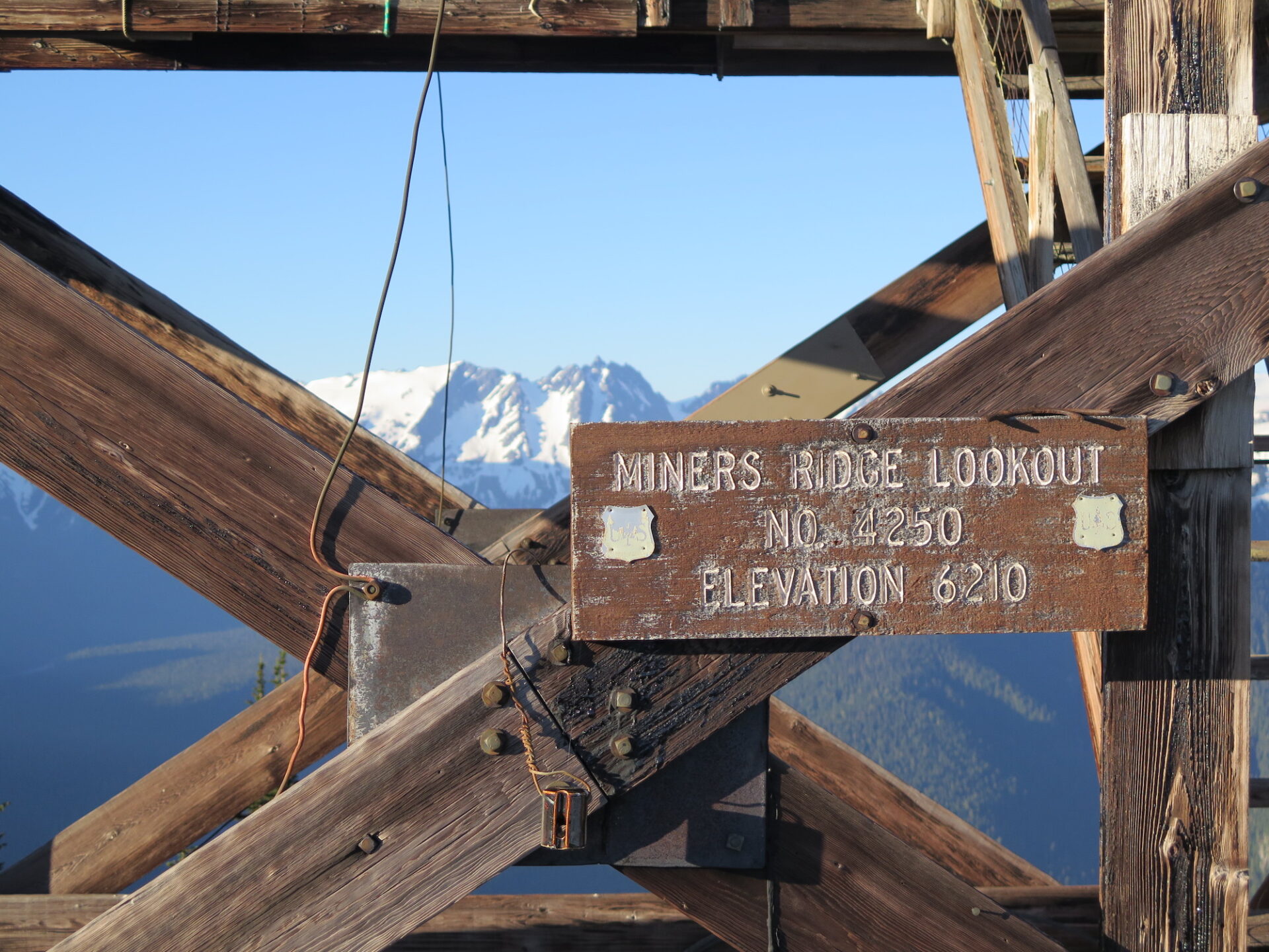
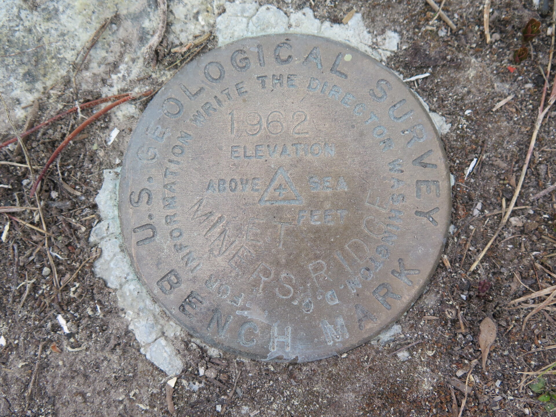
Summit Elevation: 6,208′
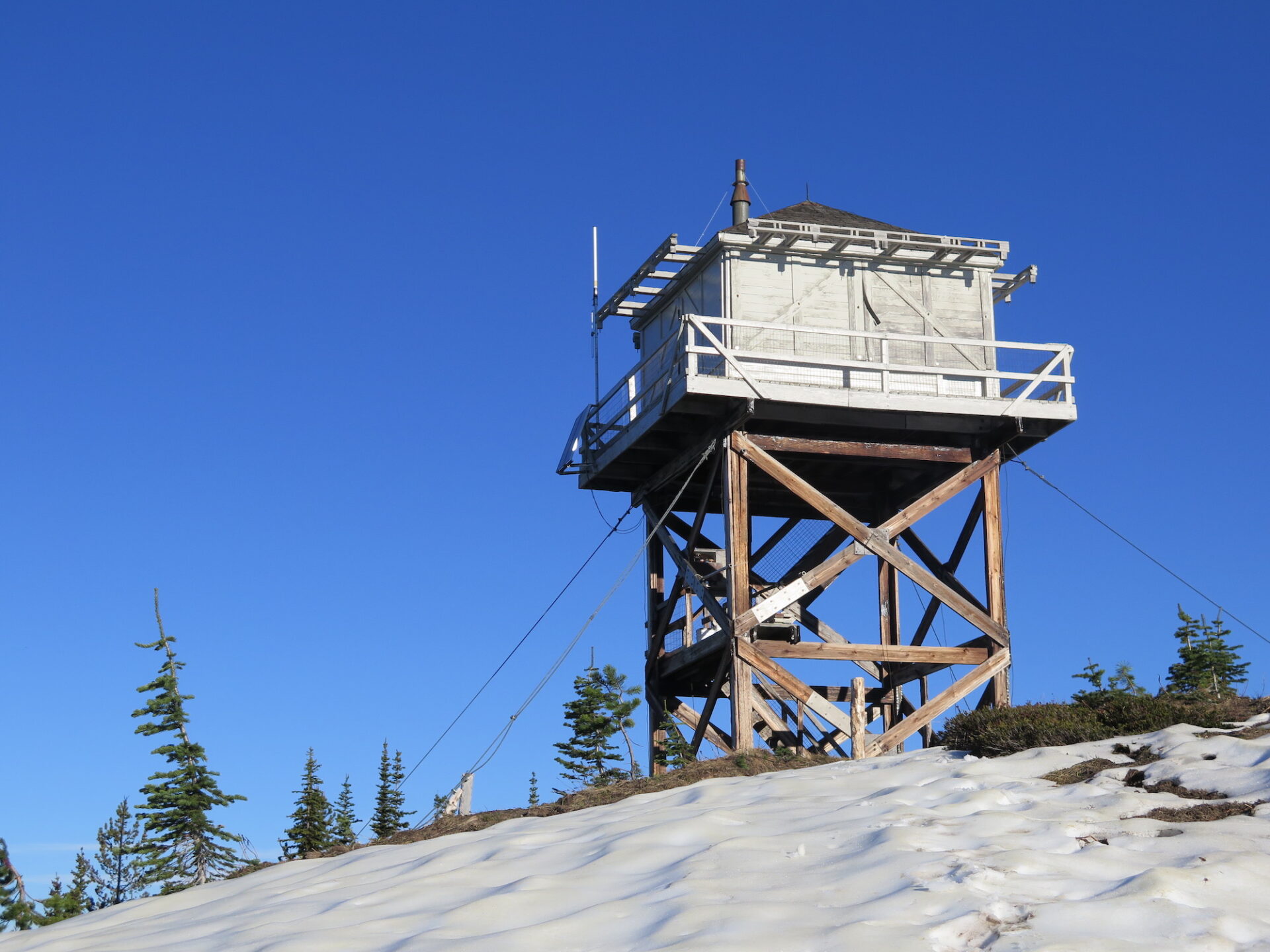
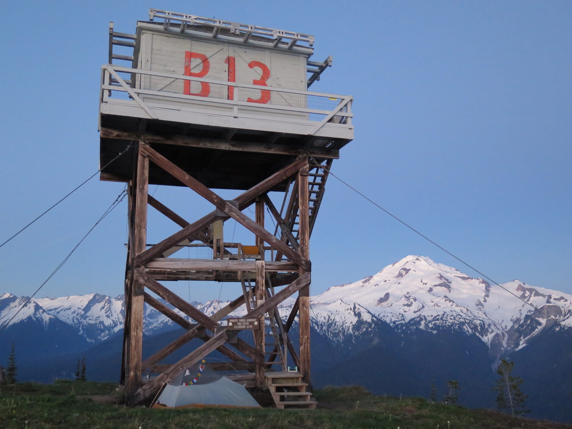
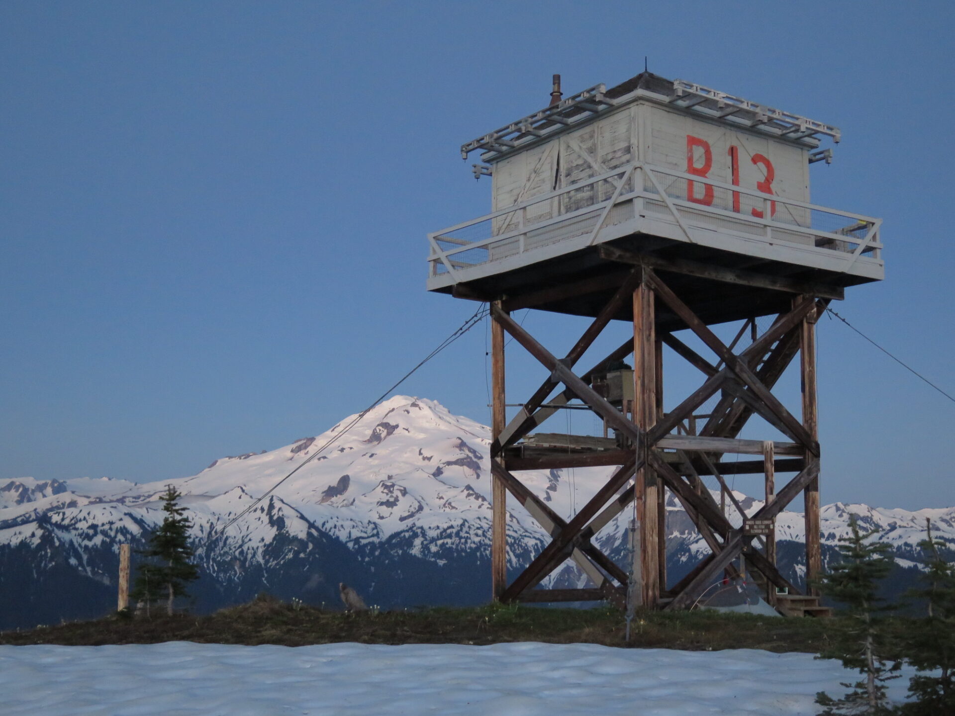
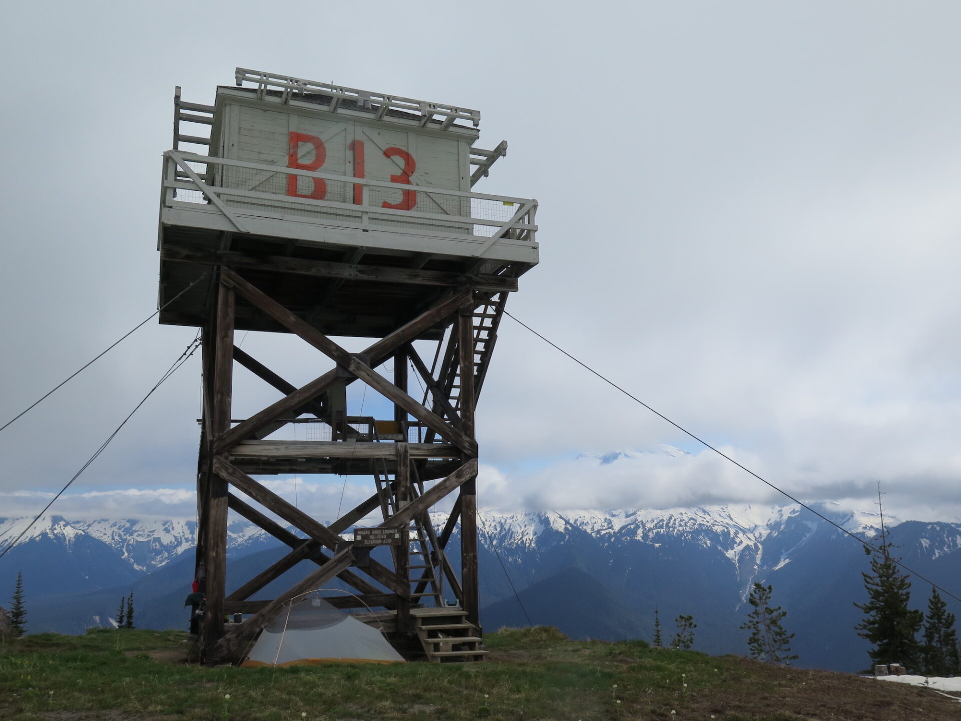
Lookout Type: 20′ L-4 tower
Site Established: 1926
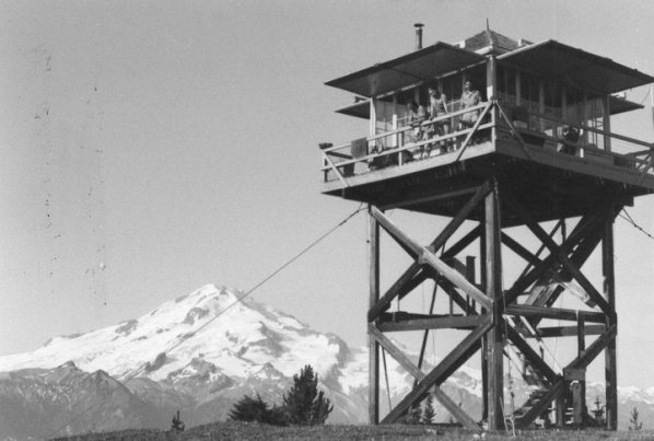
Current Structure Built: 1953
Date Visited: 6/23/18
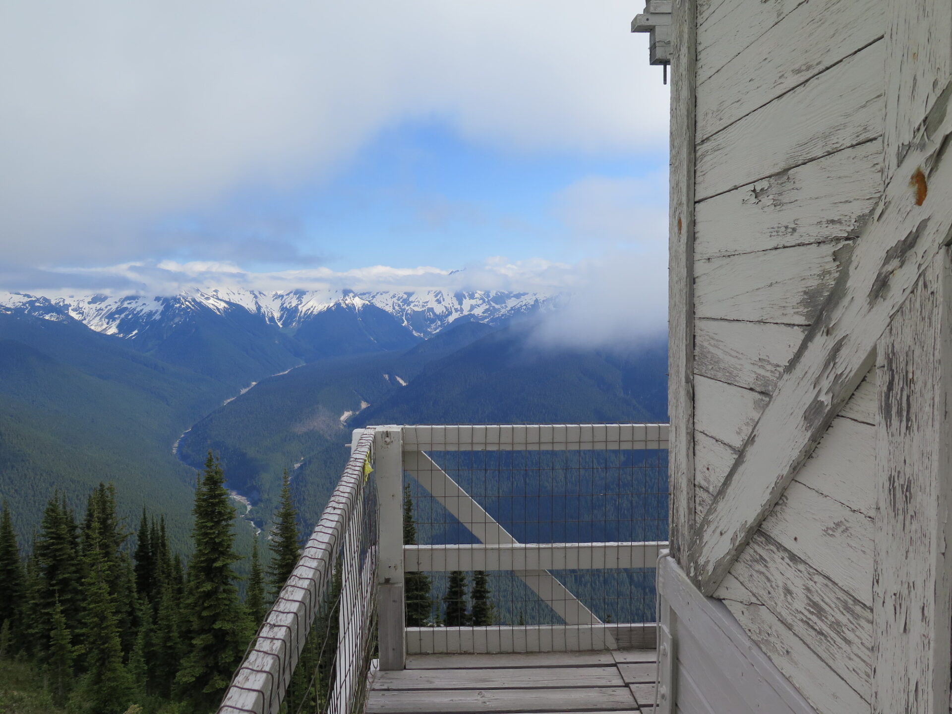
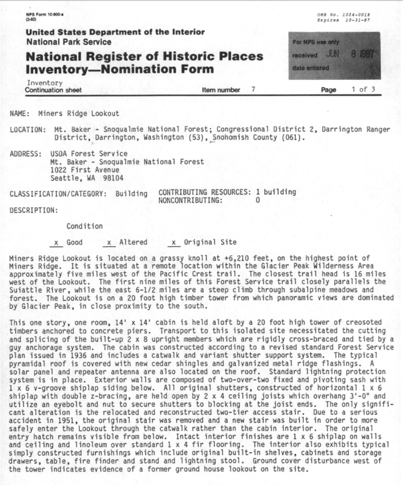
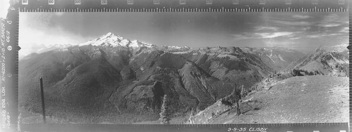
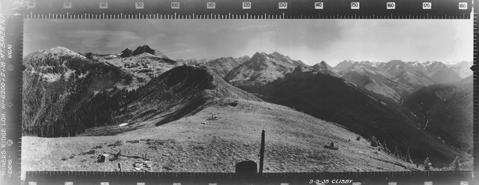
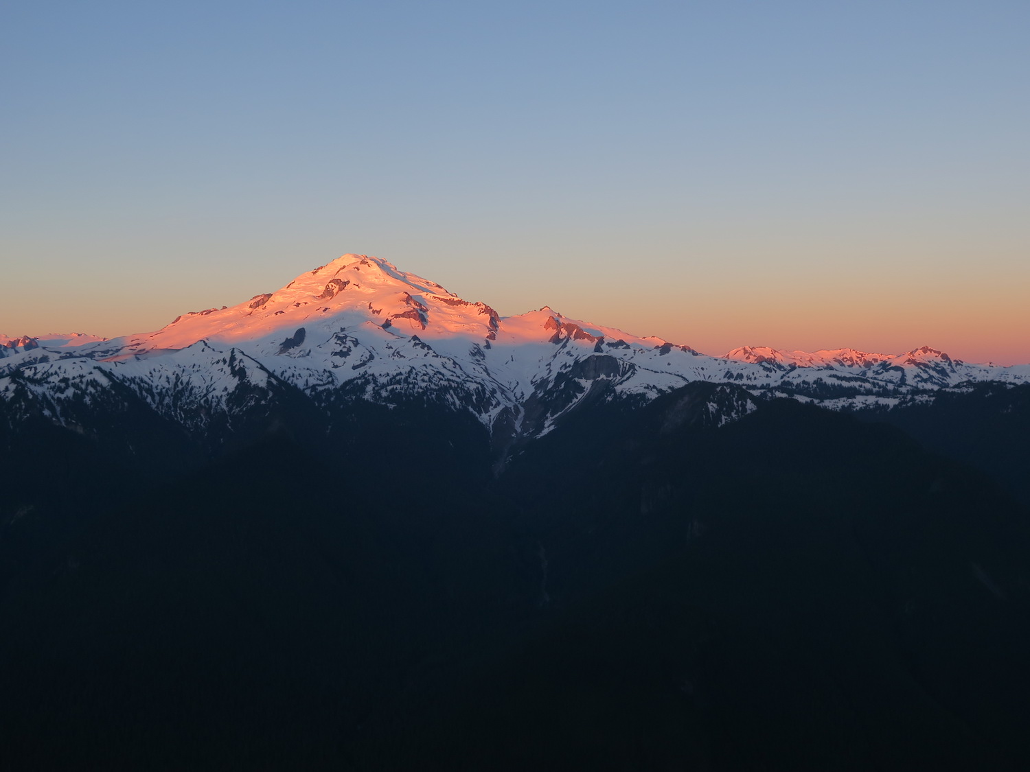
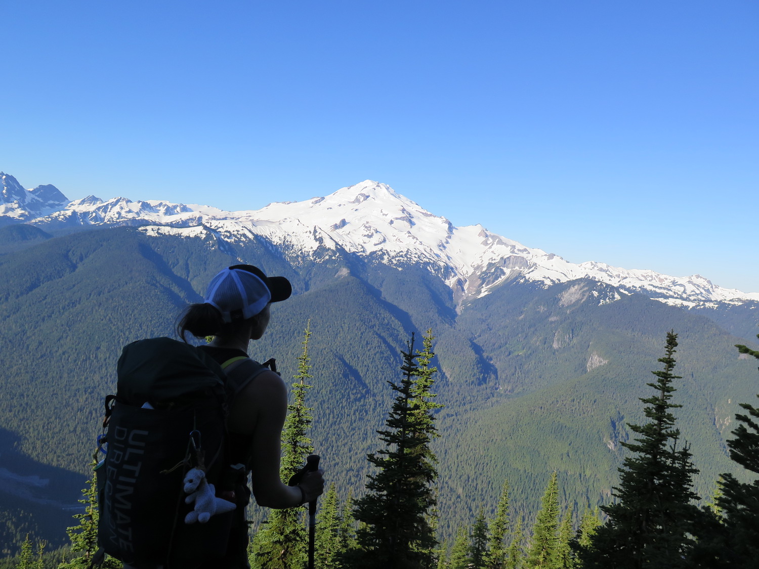
Only two other fire lookouts in Washington State take more human-powered miles to reach than Miners Ridge: Dodger Point and Desolation*. Miners 26.5 mile journey is worth every step, starting in spectacular old-growth forest and ending on the ridge tops of the North Cascades. Miners boasts commanding views of both Glacier Peak and the Suiattle River drainage and is one of the few remaining lookouts still staffed during summer months. The NYTimes wrote a fantastic article about lookout Russ Dalton who spent several seasons at Miners.
*Desolation is only longer if you go completely on foot or skip the boat and paddle to the trailhead.
History.
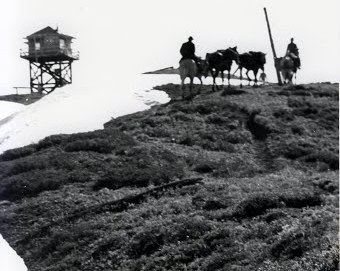
Miners Ridge was so named thanks to an abundance of early 1900s mining activity in the area. The first lookout constructed on the summit was a 10′ x 10′ shake cabin in 1926, followed by a 20′ timber L-4 cab in 1938. In 1953, the L-4 cab was replaced by another 20′ treated timber L-4 cab, which is the structure that exists today.
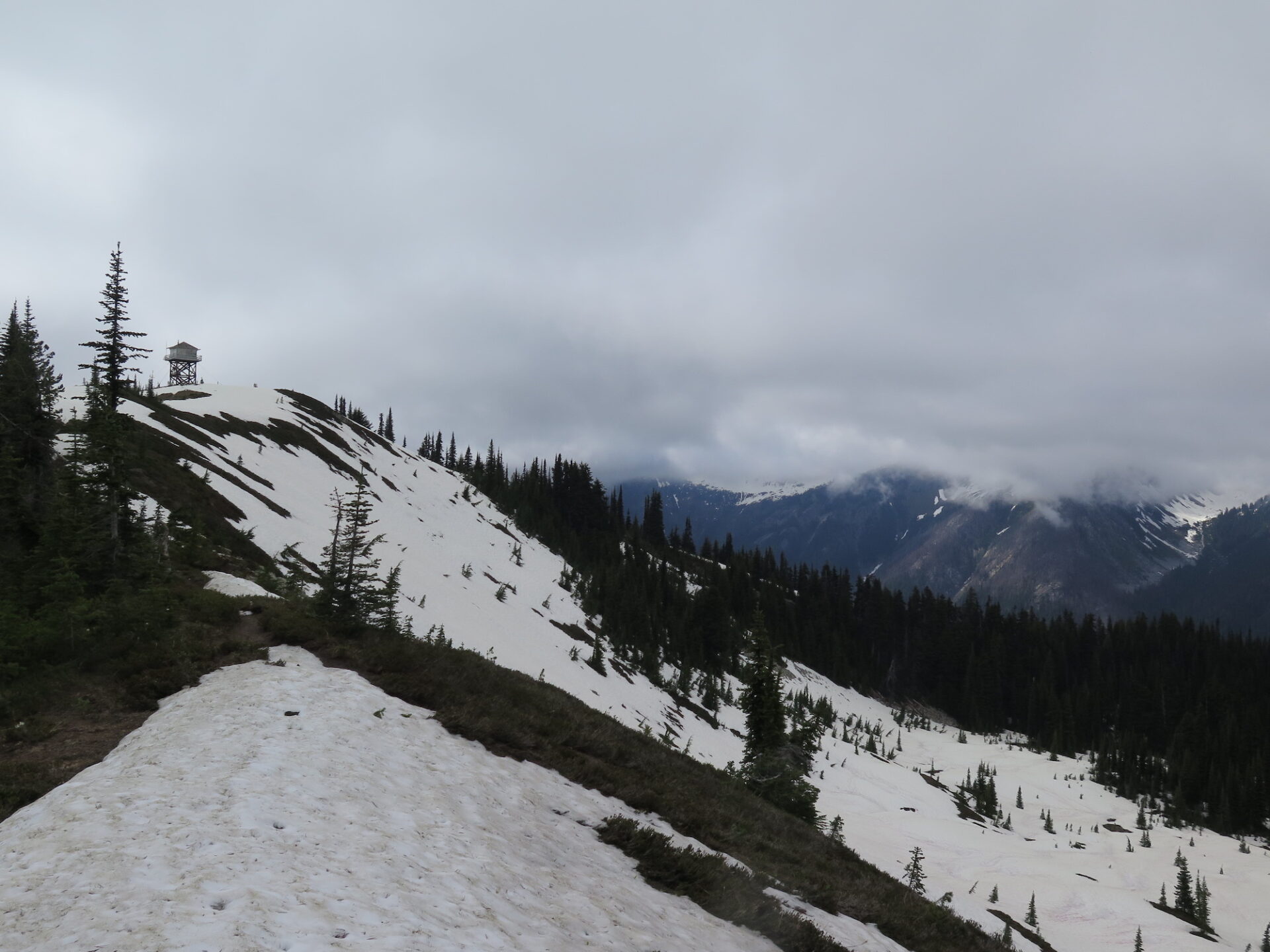
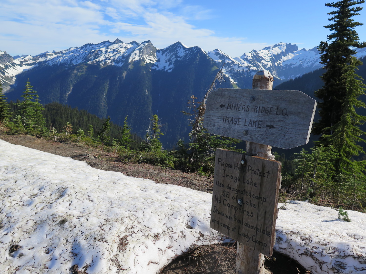
The high point of Miners Ridge is nearby Plummer Mountain. The popular and highly photographed Image Lake, with iconic views of Glacier Peak, is a short distance to the east of the lookout.
Parts of the existing Suiattle River trail were a road until 1984 when the Glacier Peak wilderness was expanded. In 2015, the Suiattle River road reopened after a decade long closure due to severe flood damage.
Fastpacking Miners Ridge.
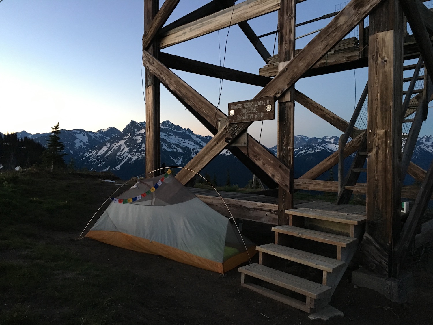
In June of 2018 I set off for an early season overnight fastpack to Miners Ridge. I called it fastpacking because I carried a very light pack that allowed me to cover the 13.5 miles to the lookout quickly and easily in a few hours. That trip remains one of my favorite and most memorable fire lookout outings.
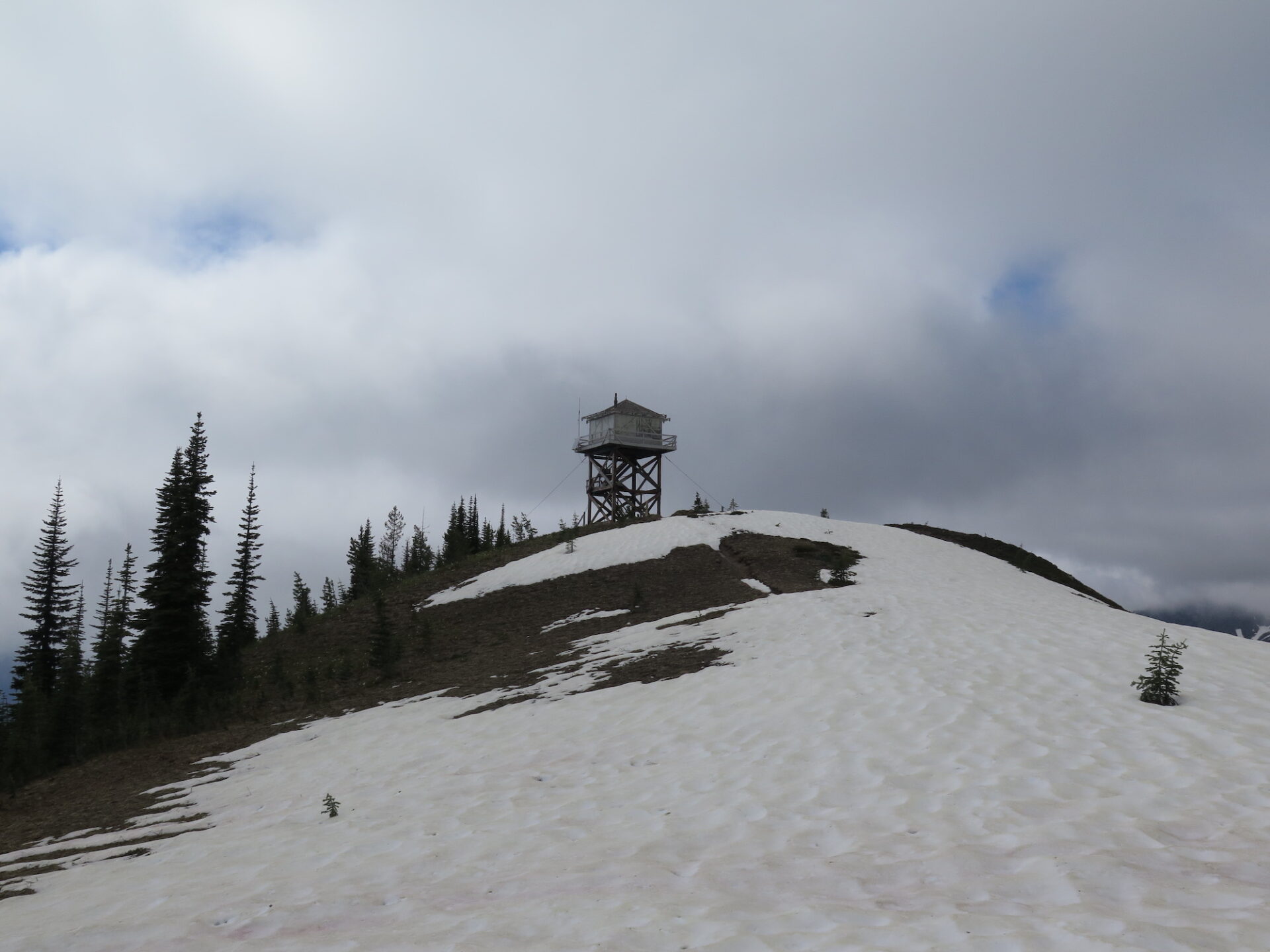
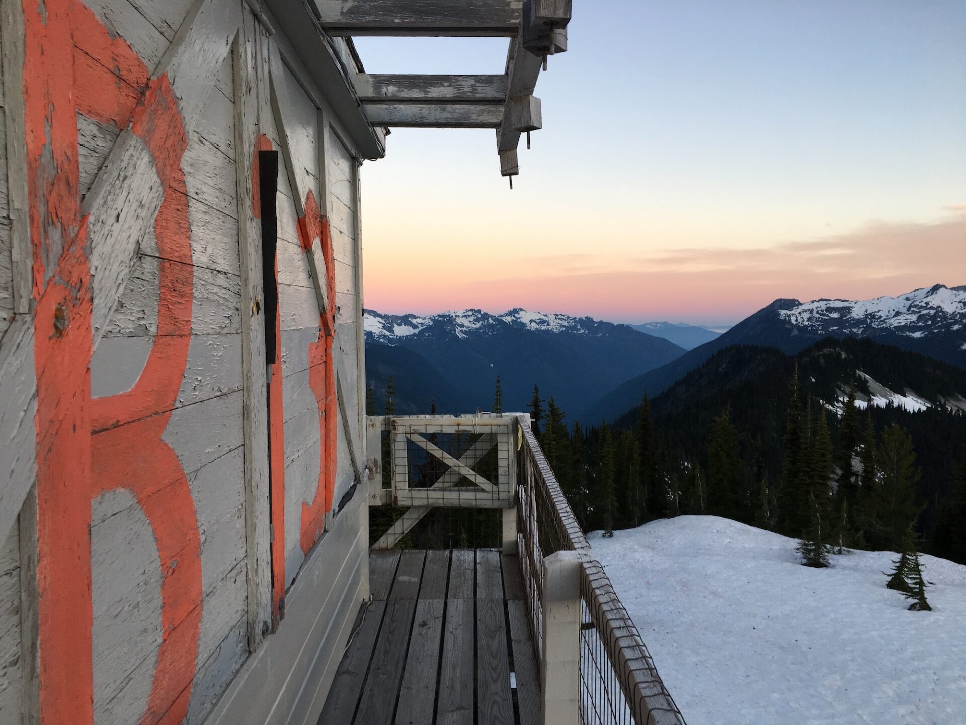
That early in the season I ran into no other people and had the entire summit of Miners all to myself. I pitched my tent on the summit near the lookout and awoke the next morning to one of the most stunning shows of sunrise alpenglow I’ve ever seen. I sat for hours in complete solitude and silence, soaking up every second of the experience.

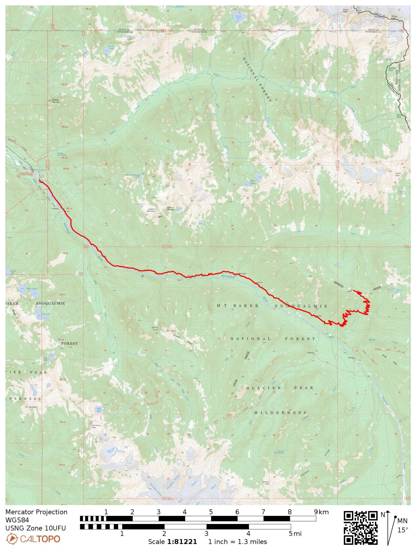
The route.
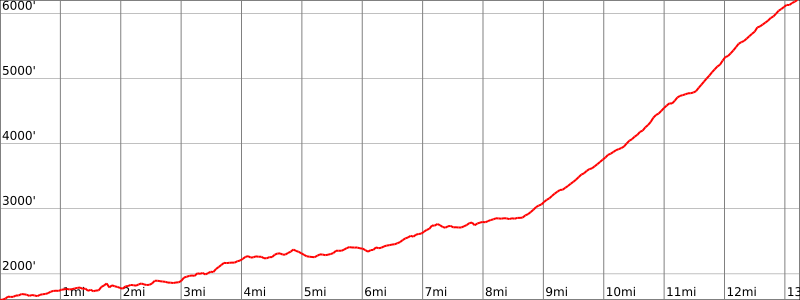
Distance (RT): 26.5 miles
Elevation Gain: 5,200′
Summit Elevation: 6,208′
If you look at maps it’s possible to get really creative and approach Miners from several different directions including longer thru hikes from even Stehekin or Lucerne. The typical approach though, and shortest, is still a hefty 26.5 mile round trip outing from the trailhead on Suiattle River road.
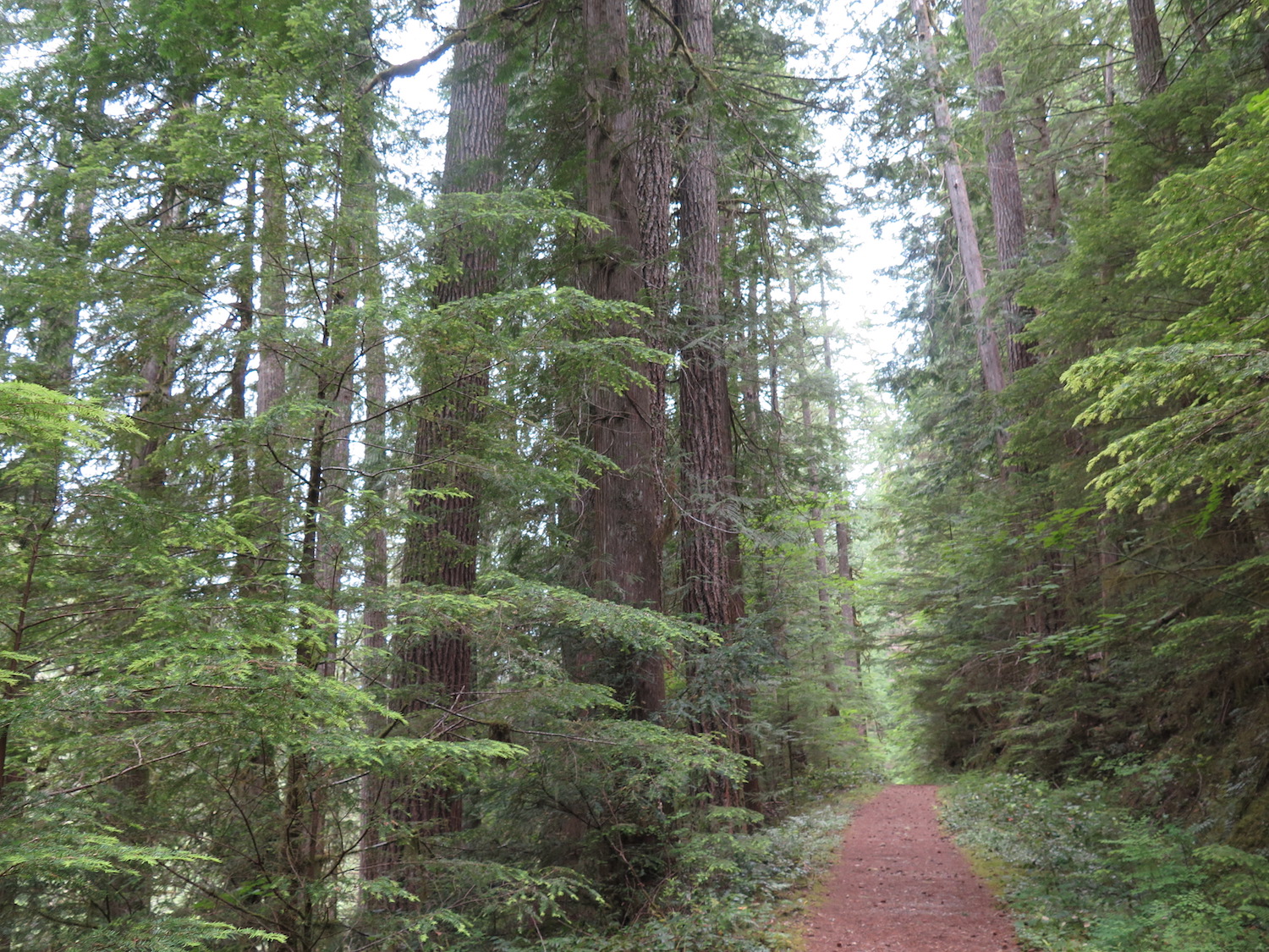
I love the approach to Miners Ridge because it’s an amazing journey that starts in beautiful, spectacular, lush old-growth forest and ends on the high alpine ridge tops of the North Cascades.
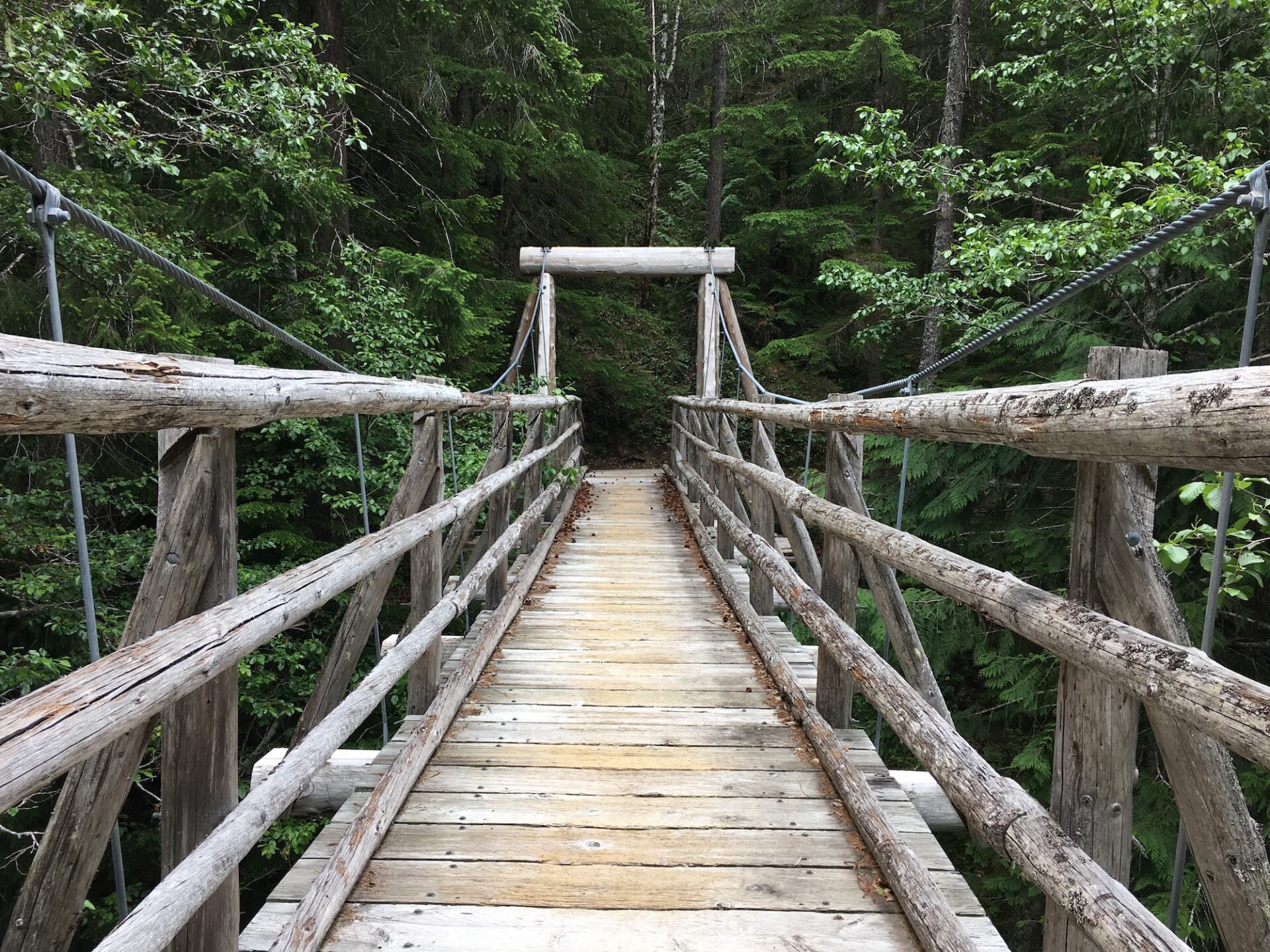
The first 8.5 miles along the Suiattle River trail are mostly flat, fast and enjoyable and by the time the trail turns upward a few miles past the PCT junction the climb doesn’t feel that tough at all. The beautiful Canyon Creek suspension bridge at mile 7 is a worthy rest spot and a great place to relax along the way.
There are numerous campsites near Canyon Creek and then again near the PCT junction around the 10 mile mark that provide an easy way to break up the journey into multiple days.
The last 4 miles of trail winds over 40 switchbacks and climbs 3,400′ to the summit, the views of Glacier Peak and the surrounding country getting bigger with every switchback. If you make the long journey to Miners you really should also hike the easy one mile detour to Image Lake to soak up those beautiful Glacier Peak views. After all, if you’ve already gone that far, what’s another couple of miles? Image Lake can hold a lot of snow early in the season though as it did on my trip in June, so camping there may not be possible until later in the season.

Directions.
Drive Highway 530 north from Darrington or south from Highway 20 near Rockport. Turn east on FR 26, the Suiattle River Road, and follow it 23 miles to the trailhead at the end of the road.