Olympic Mountains | Central Olympic Mountains
Olympic National Park | Daniel J. Evans Wilderness
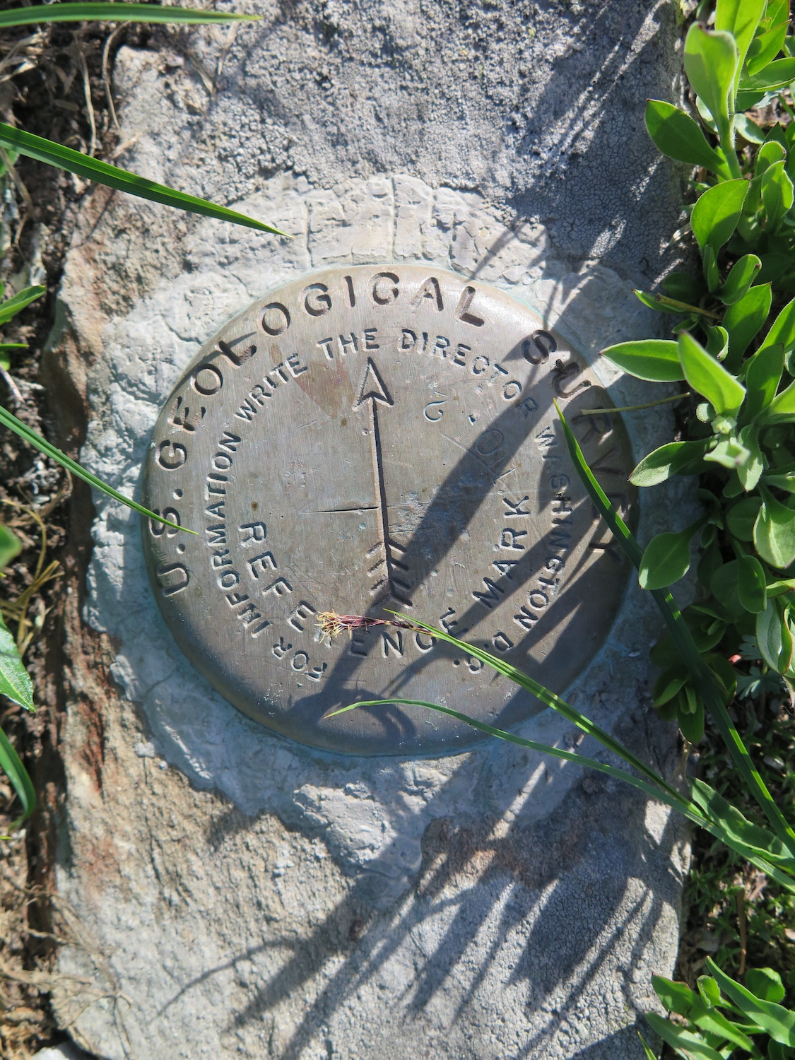
Location: 47.8741069,-123.5105092
Summit Elevation: 5,760′
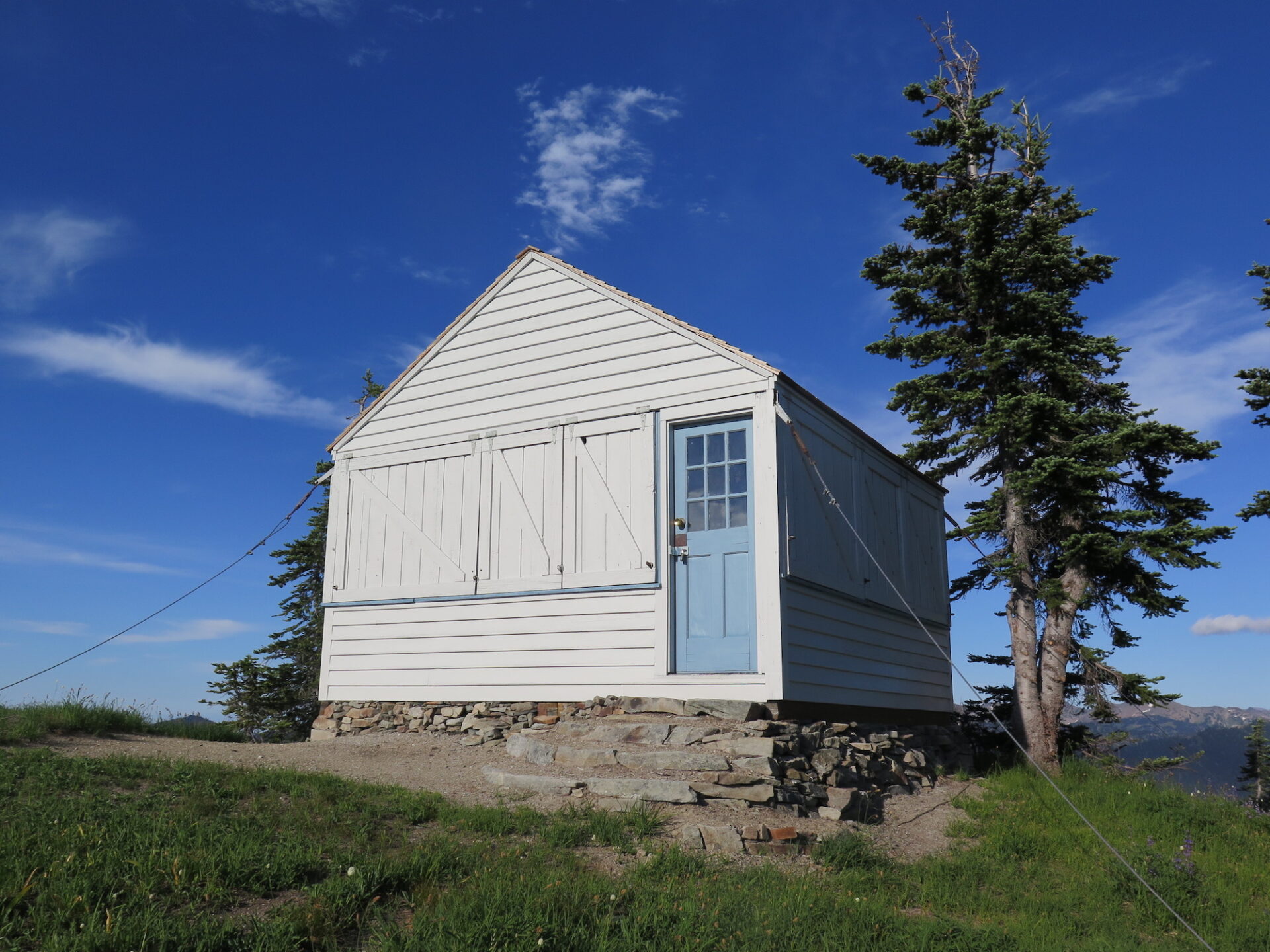
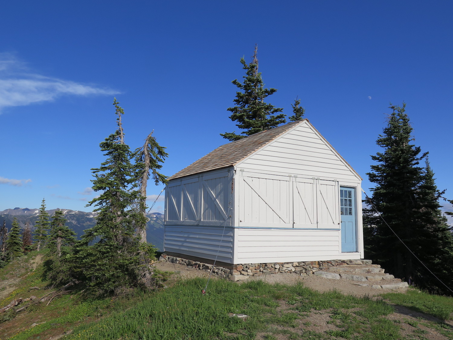
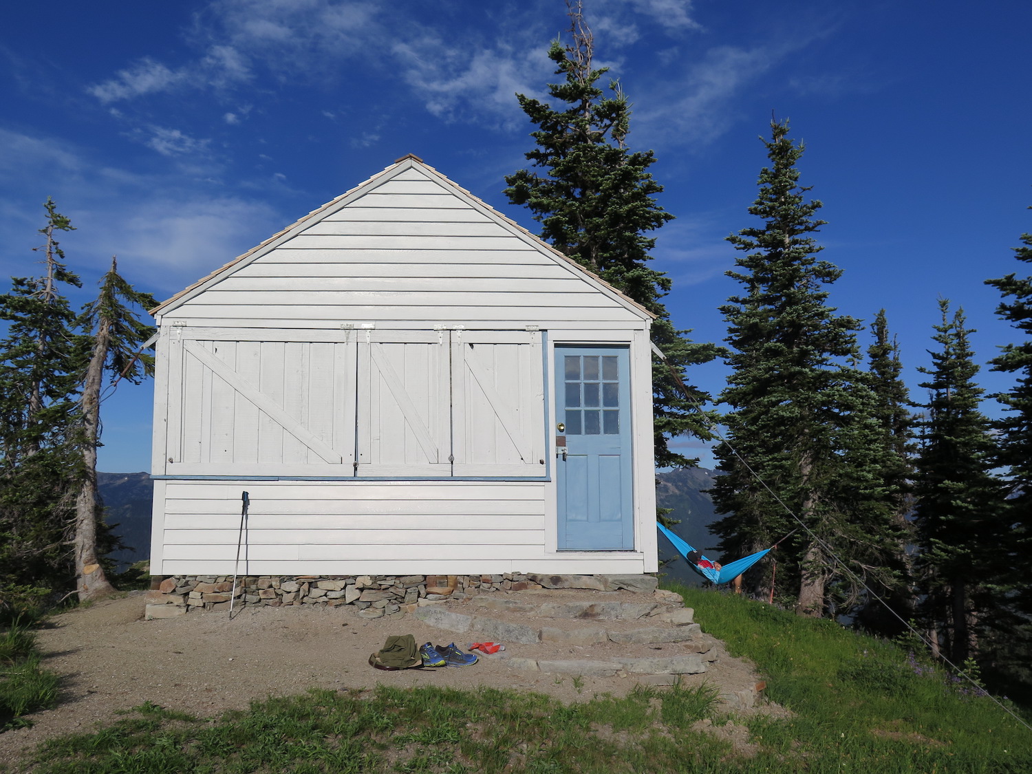
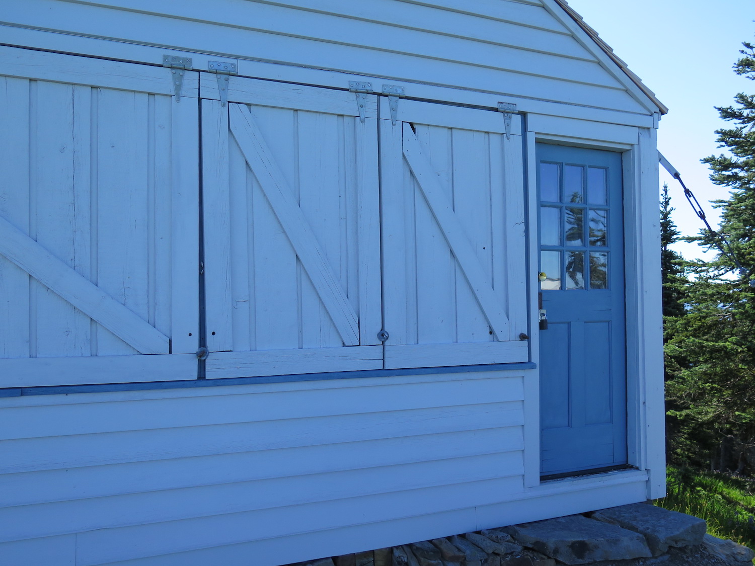
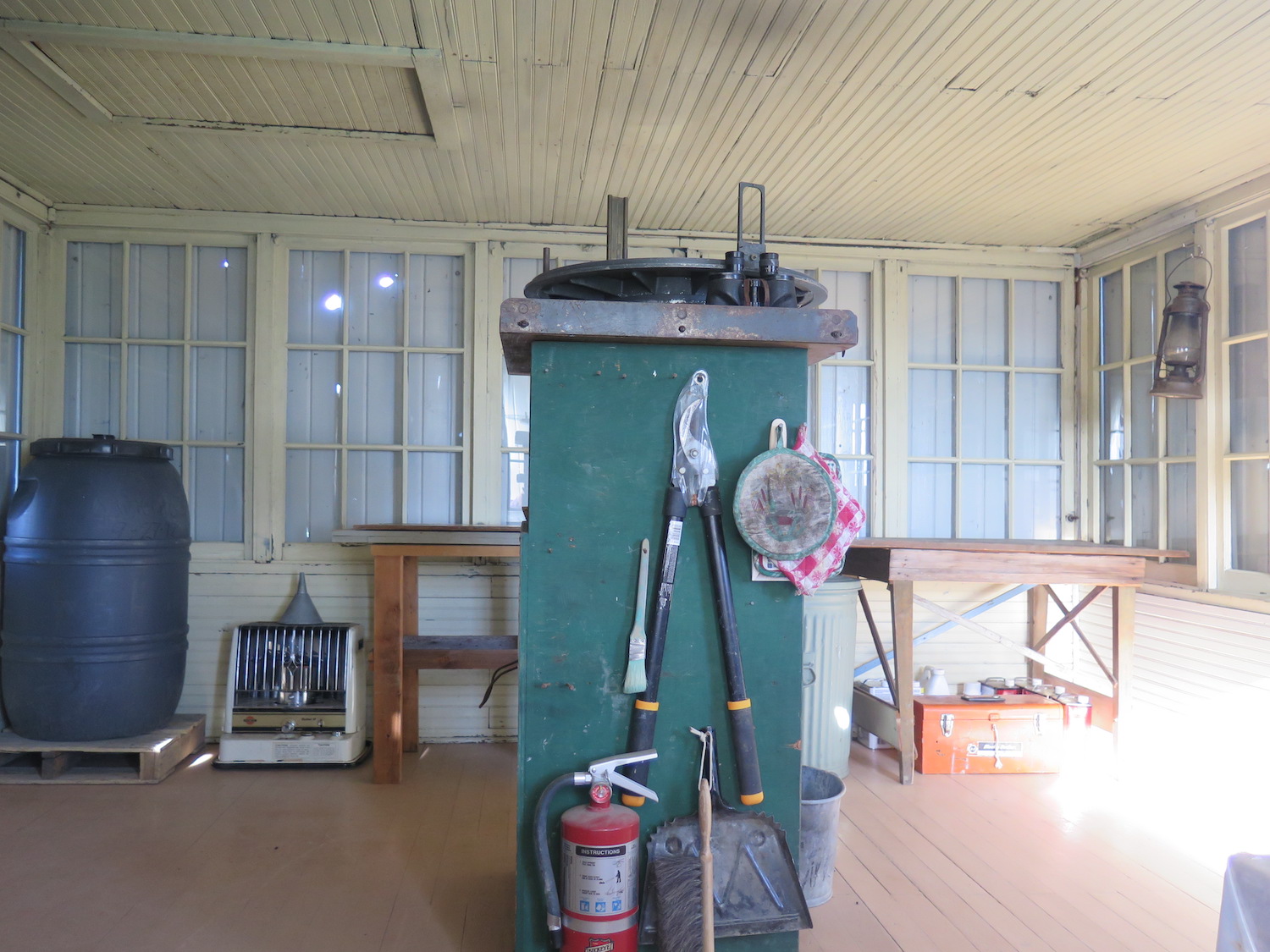
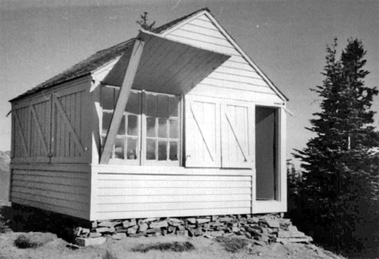
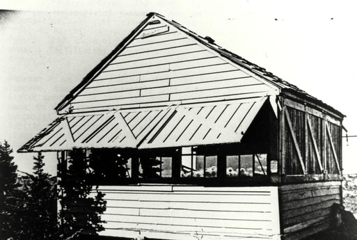
Lookout Type: 14’x14′ L-4 ground house
Site Established: 1933
Current Structure Built: 1933
Date Visited: 7/21/18
Thanks to the Olympic Hot Springs Road closure, the recently restored Dodger Point is one of the most remote Washington State fire lookouts to reach. The 40 mile round trip odyssey is worth every step and the lookout isn’t the only attraction on this spectacular journey.


History.
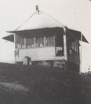
The Dodger Point Lookout was constructed in 1933 by the National Forest Service and possibly with help by the Civilian Conservation Corps.
In 1942, the US Army initiated the Aircraft Warning System (AWS) as a response to the World War II threat of an enemy aircraft attack on the west coast. Thirteen sites within the present boundaries of Olympic National Park were established as AWS lookouts and only two remain today: Dodger Point and Pyramid Mountain.
Only a few years ago Dodger Point was in severe risk of collapse and heavy snows in the of winter 2016 severely damaged the lookout. Half of one wall was pushed off its foundation and snow loads bent the structure severely enough to break five windows. In 2017, Dodger Point Lookout was beautifully restored with the assistance of volunteers and grant funding from Washington’s National Park Fund and the REI Foundation.
The route.
Distance (RT): 40 miles
Elevation Gain: 6,500′
Summit Elevation: 5,760′
Dodger is usually a 27 mile round trip journey, but a washout on the Olympic Hot Springs Road adds 13 miles round trip to the adventure.
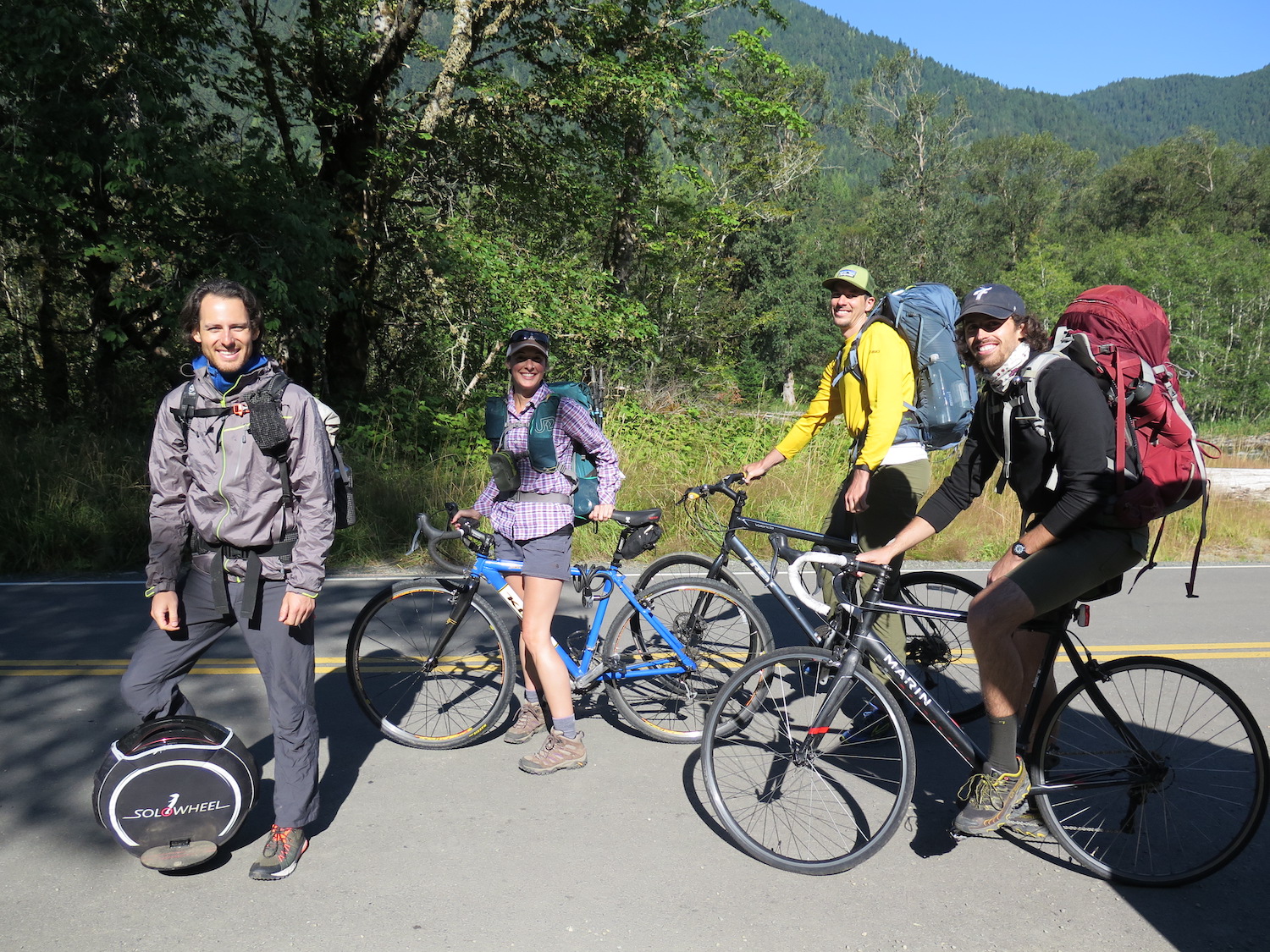
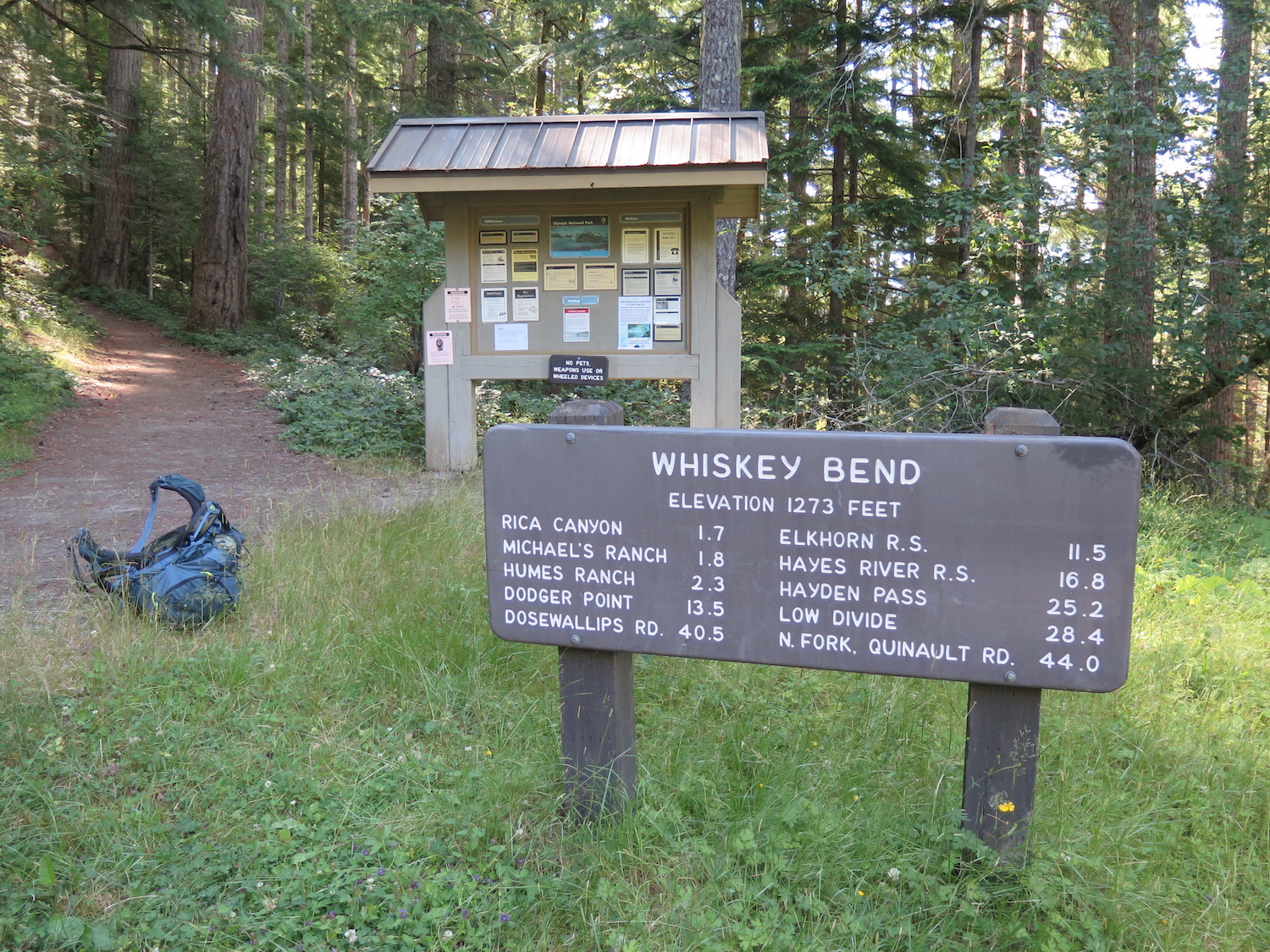
The route now starts at the Madison Creek Falls parking area a short distance before the Elwha Ranger Station. Many ride bicycles the 6.5 miles to the Whiskey Bend Trailhead, but be warned it’s a steep climb, so bring your legs. Once at Whiskey Bend there are good places to hide and lock up your bike, then you can hit the trail on foot to Dodger.
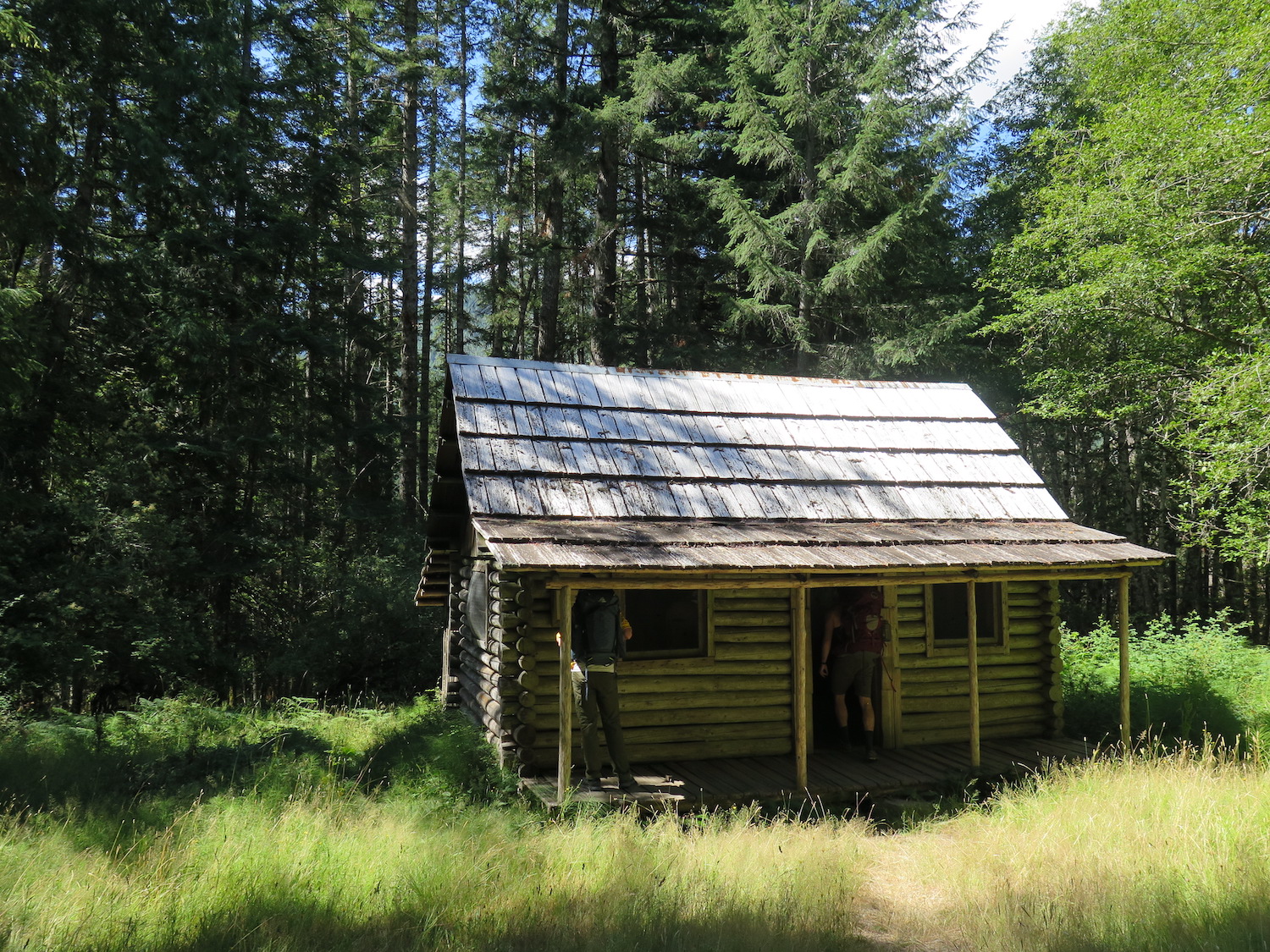
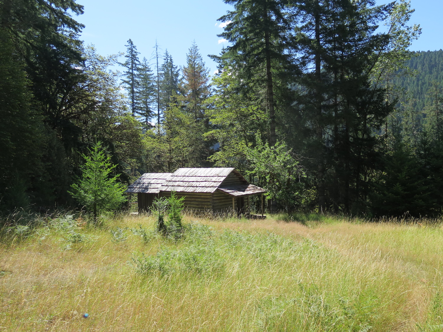
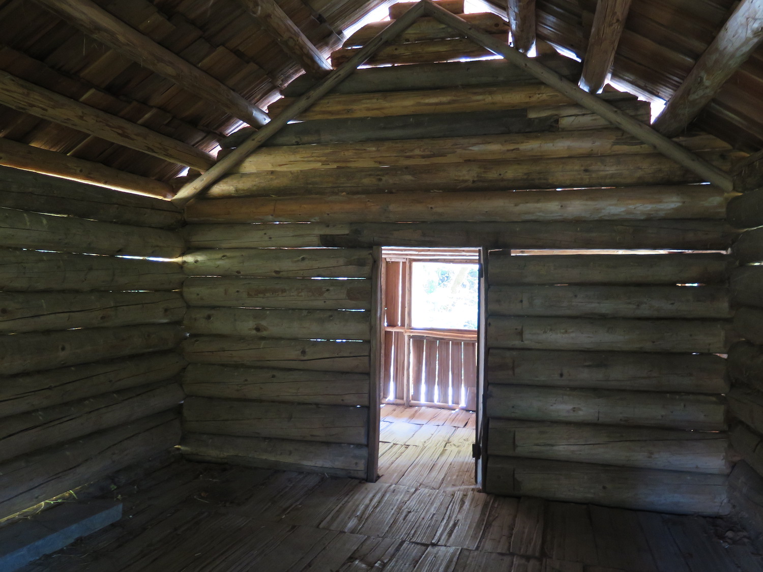
The route to Dodger is full of amazing surprises and beautiful attractions. 1.9 miles from Whiskey Bend you’ll encounter Michael’s Cabin, an old 1906 homestead build by “Doc” Luddin and last occupied by “Cougar Mike”, a local hunter. At 3 miles from the trailhead you can enjoy the splendid Humes Ranch, hand-hewn from local cedar and fir in 1905 by William Humes, who arrived in the Elwha River area from New York while en route to the Klondike. Along with his brother and cousin, Humes was so enchanted with the Elwha River Valley that he set up homestead sites.
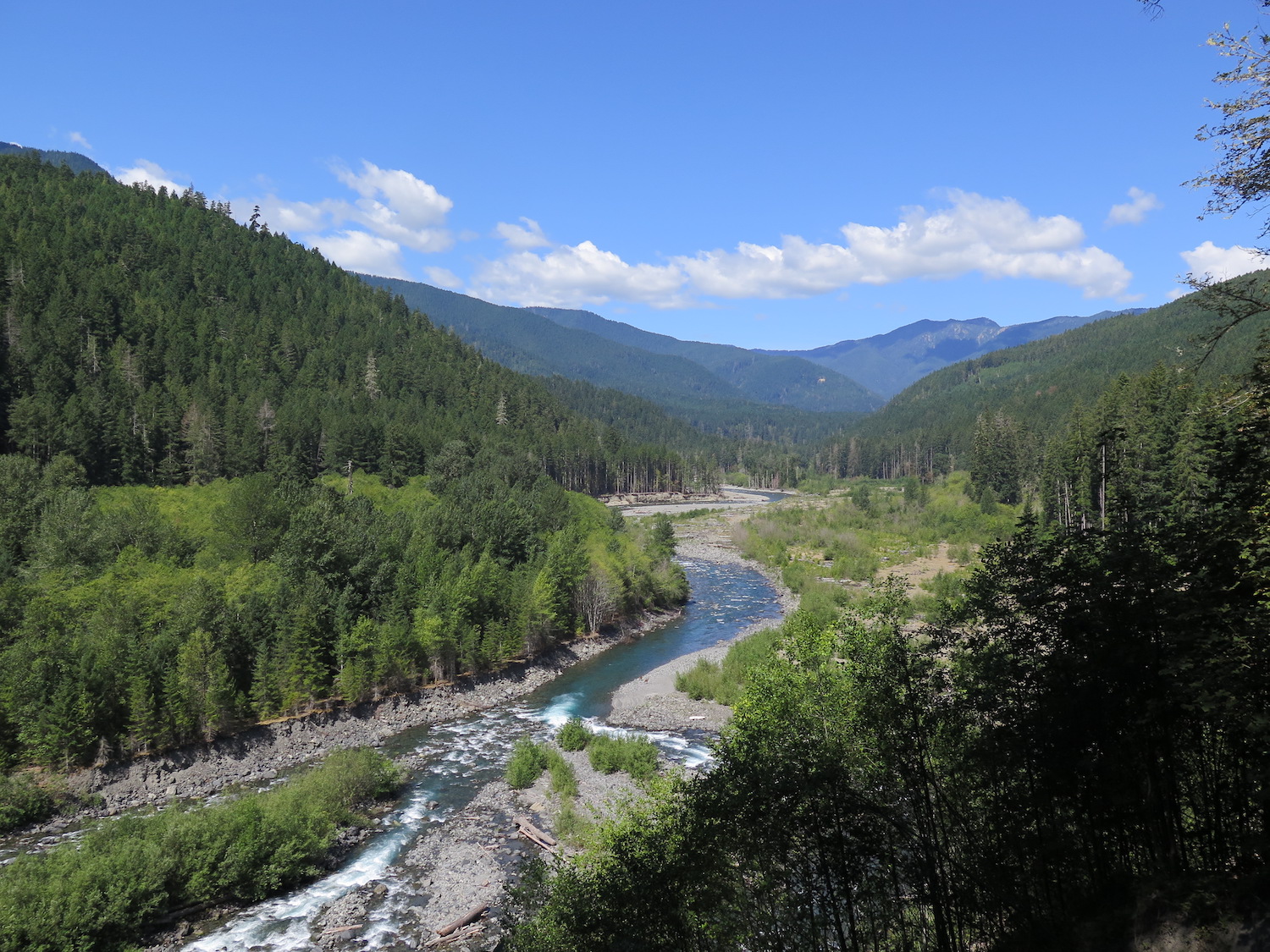
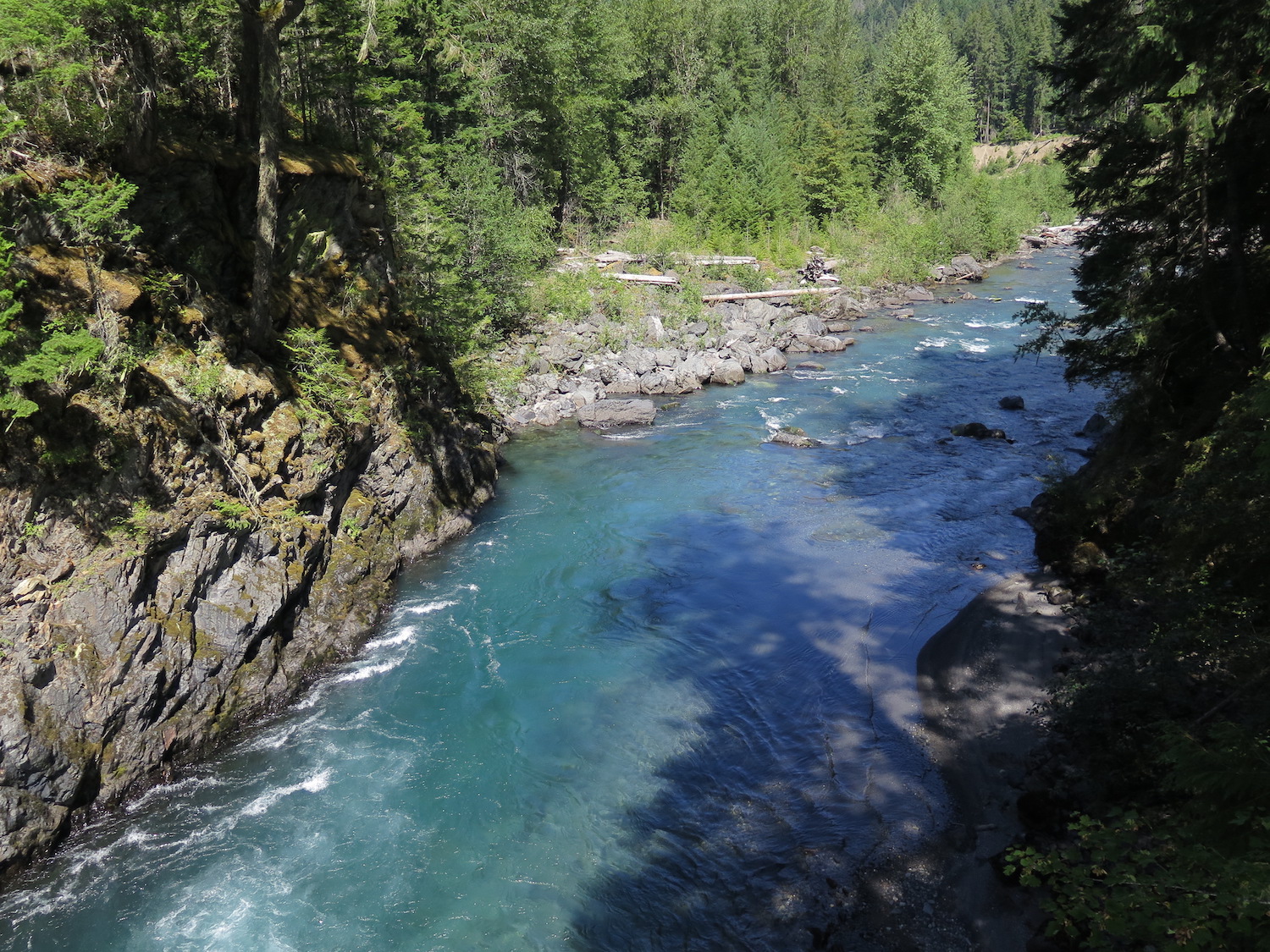
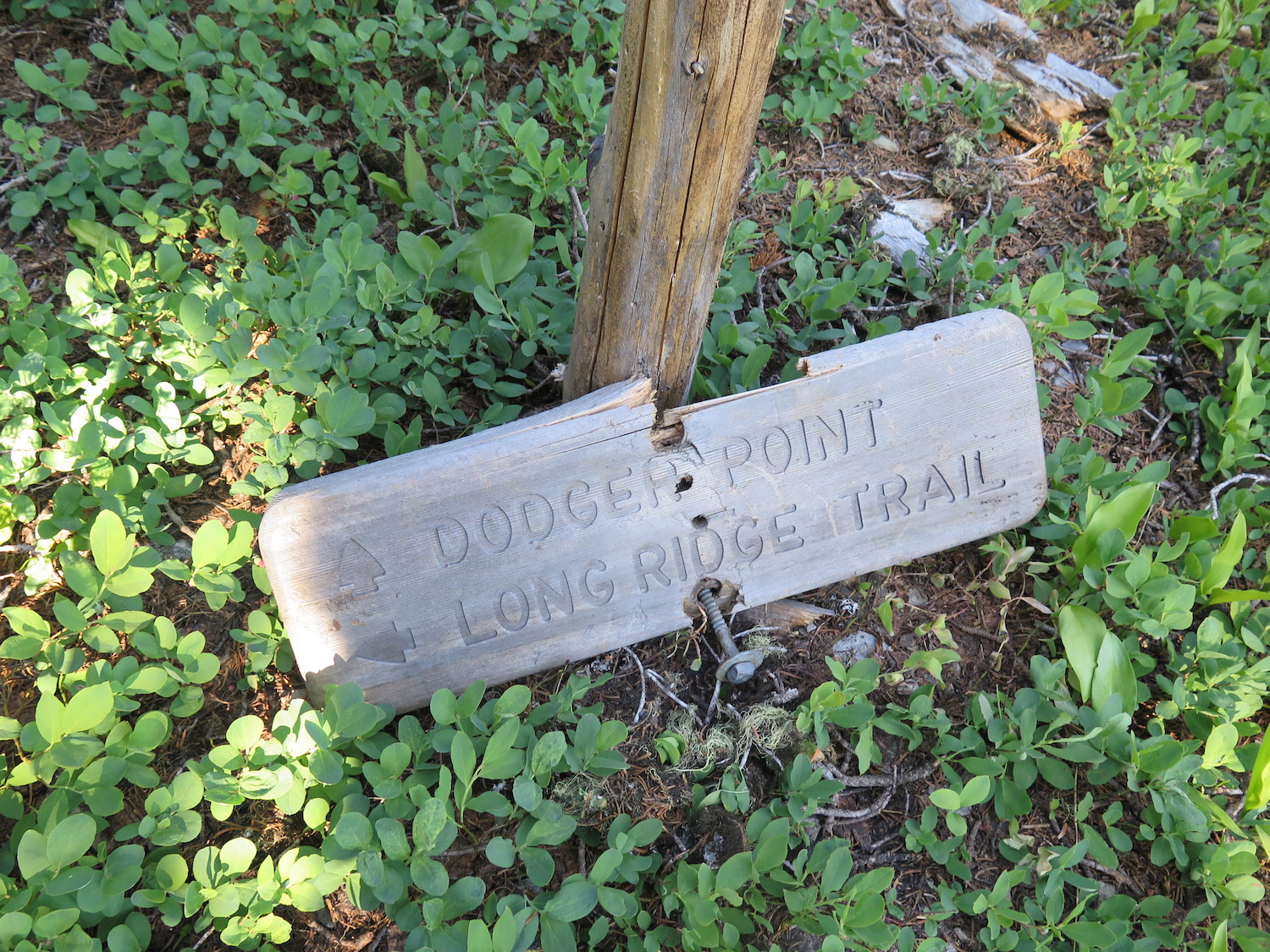
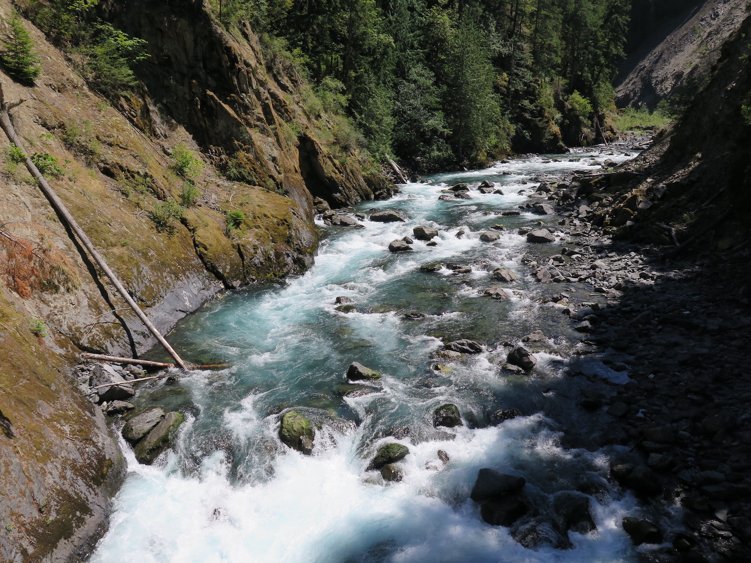
A half mile beyond the Humes Ranch is the beautiful Dodger Point suspension bridge and the Grand Canyon of the Elwha. You really should stop here a bit and marvel at not only the turquoise beauty of the Elwha, but also it’s remarkable rebirth.
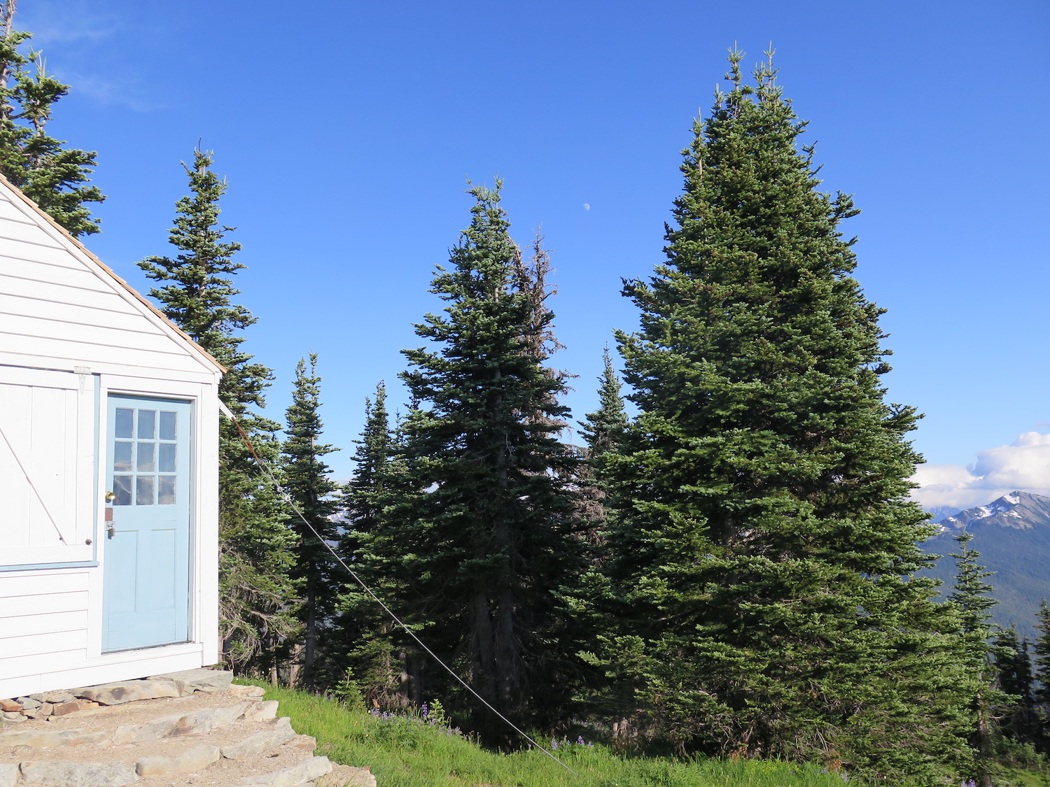
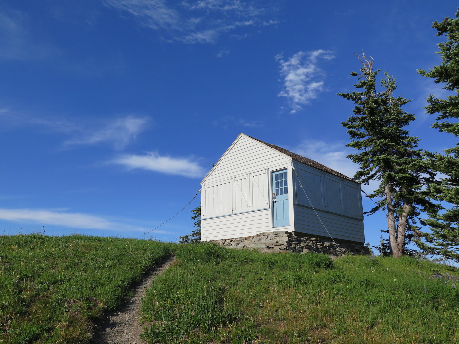
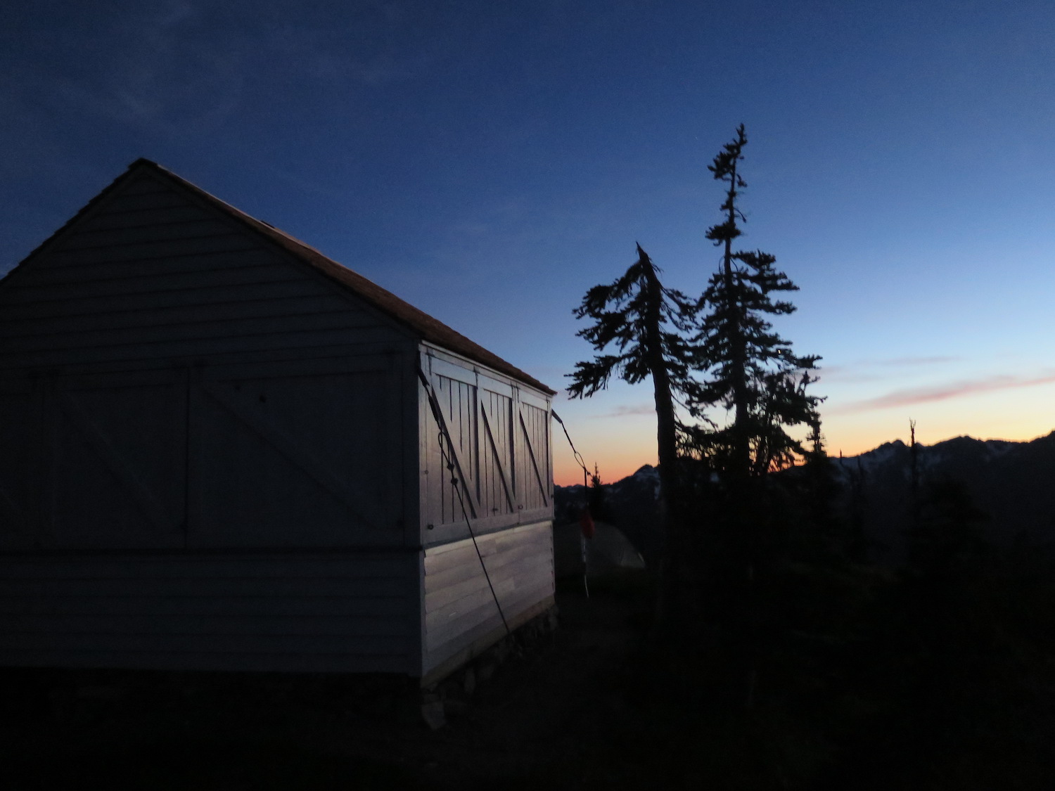
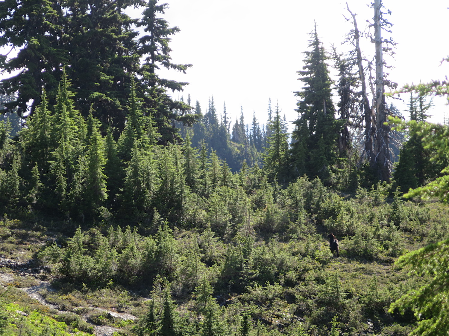
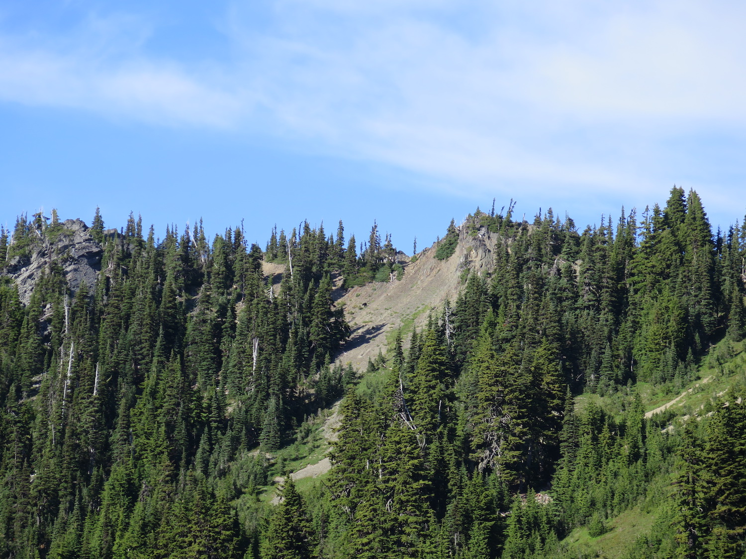
After the bridge, the Long Ridge Trail will slowly and steadily climb all the way to Dodger Point. Water along the trail is scarce, but just below the summit of Dodger are meadows with a water source and a few established camp spots. At the summit, there is only room for one or two small tents. The only water source is early season snow.
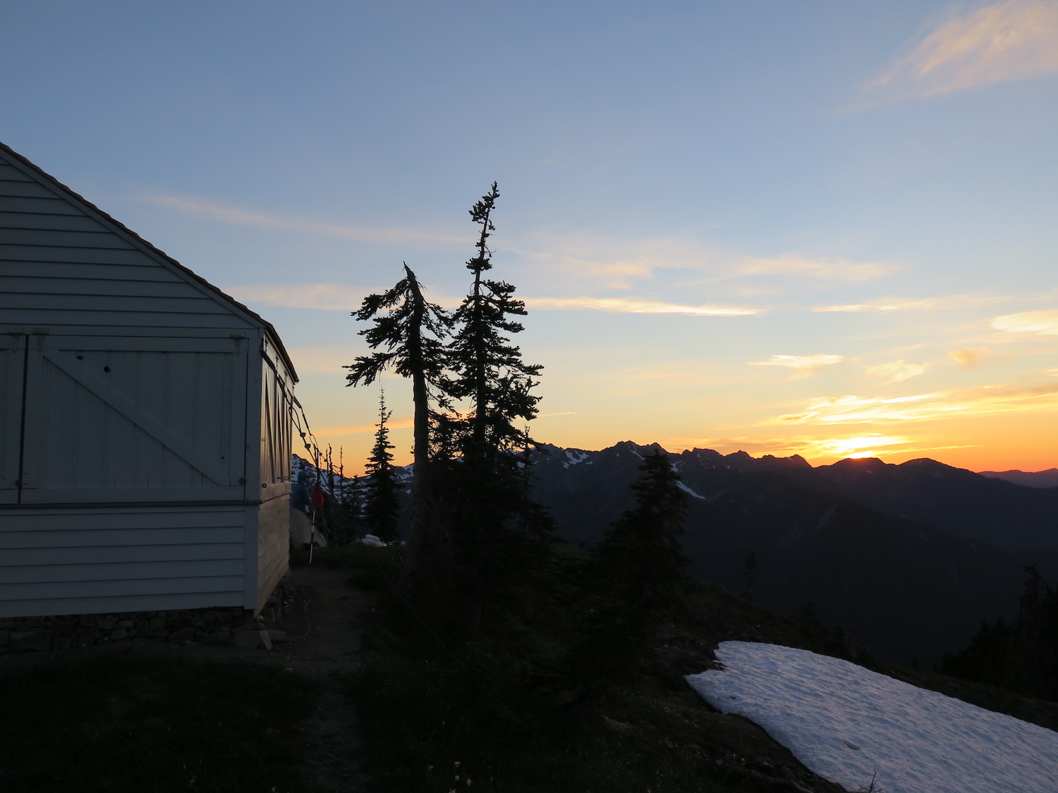
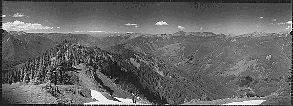
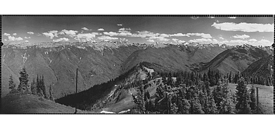
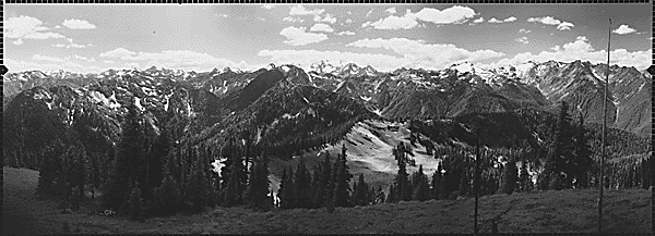
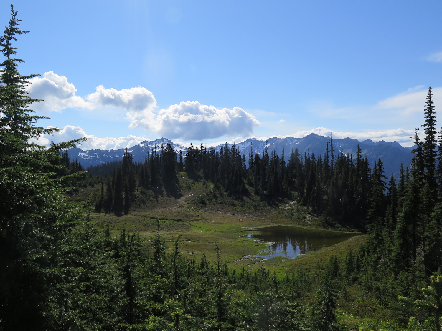
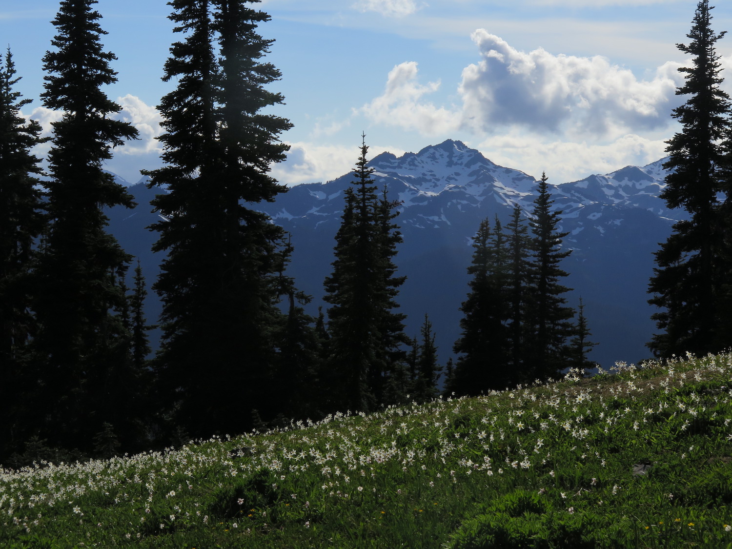
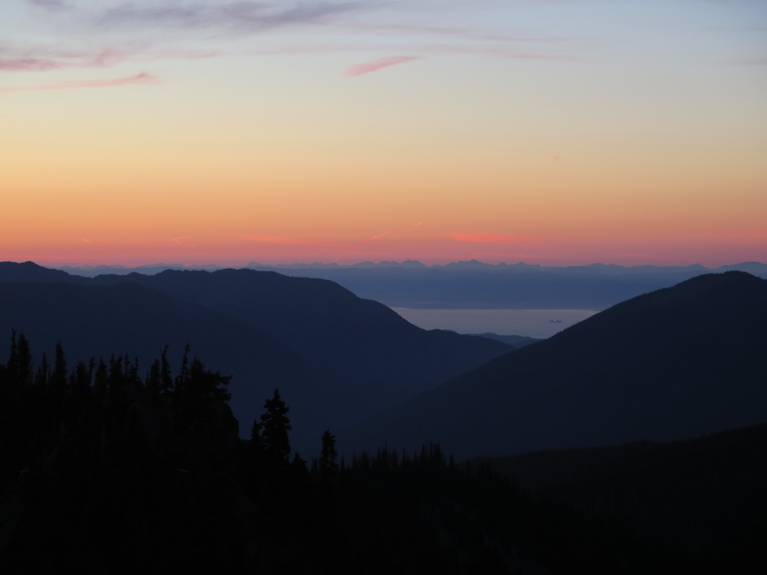
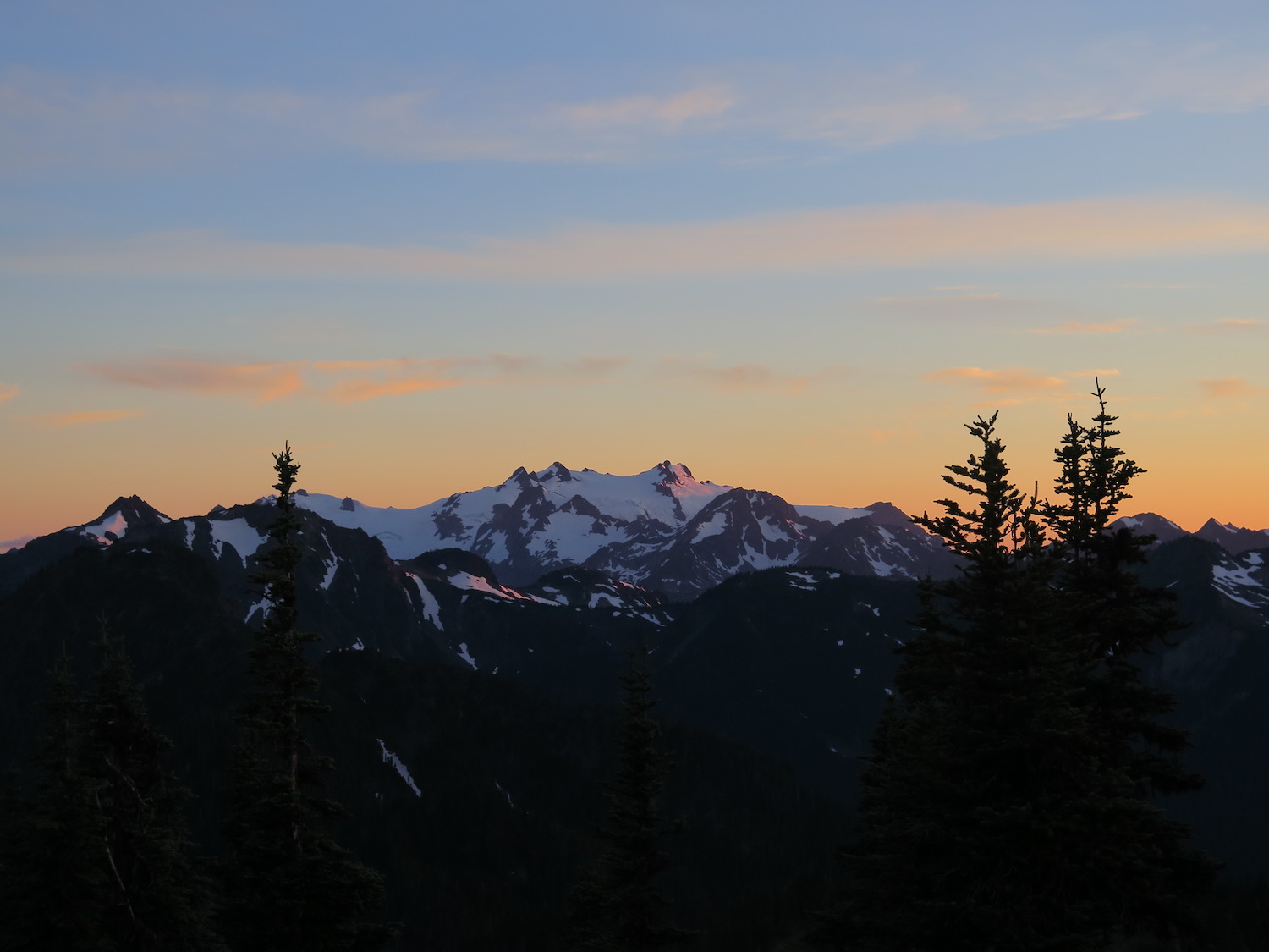
From the summit of Dodger the 360 views of the entirety of the Olympics are spectacular! You can see all the way to the Strait of Juan de Fuca, over to Hurricane Ridge, and gaze at the beautiful Mount Olympus. In July the meadows are filled with wildflowers.
Camping requires backcountry permits, available from the ranger station. Please pick established sites and protect fragile alpine flowers and meadows.
The route from Madison Creek Falls to Whiskey Bend Trailhead.
When I visited Dodger in July 2018 I rode my bicycle to the trailhead from the Olympic Hot Springs Road. It’s a steep climb, so bring a smartly geared bike!
The route from Whiskey Bend Trailhead to Dodger Point.
The grand Dodger Point adventure.
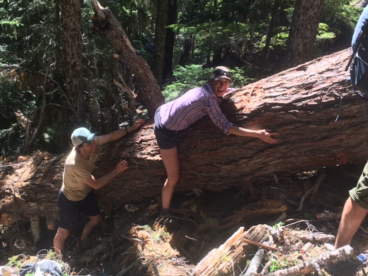
The adventure to Dodger is so spectacular it requires its own photo gallery. When I visited in July 2018 I was joined by 3 friends, 2 who lived in Sequim and were eager to see this remote corner of the Olympics. With the road closure, Dodger is so remote in fact, that your chances of seeing bears and other wildlife is very high and you should absolutely positively bring bear canisters. We saw 4 black bears on our trip, all of which were incredibly skiddish at the sight of people—a good thing—and bolted off into the distance. They were also some of the biggest black bears I’ve ever seen in Washington.
The trail to Dodger will take you past some early 1900s historic homestead sites and also get you up close and personal with the turquoise beauty of the Elwha River. Before you visit this magical place you should do some reading about the Elwha and Glines Canyon dam removals, the largest such project of its kind. It’s powerful and humbling to see this magical river once again running wild and free. Dodger Point is all kinds of special. If you go, I highly recommend taking a few days to really soak this one in.
Directions.
From Port Angeles, follow US Highway 101 west 8.7 miles to the Elwha River Road (Olympic Hot Springs Road). Turn left just before crossing a bridge across the Elwha. Follow the road 2.1 miles to the closure at Madison Falls parking area.