Southern Cascades | Mount Adams Area
Gifford Pinchot National Forest
Location: 46.407197, -121.865244
Summit Elevation: 5,310′
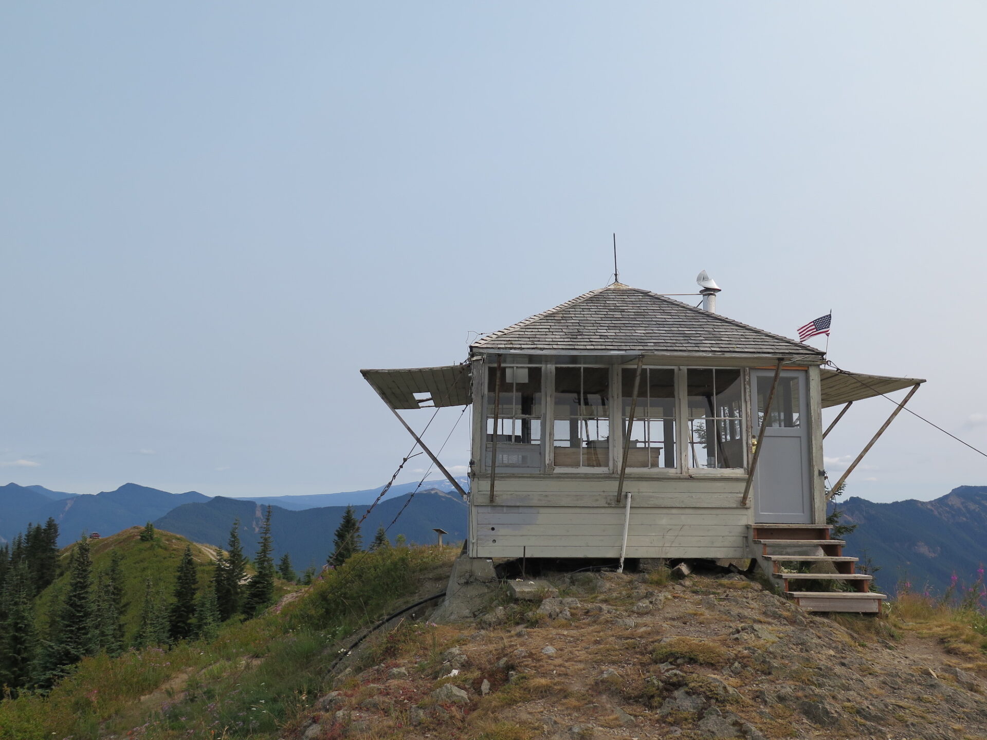
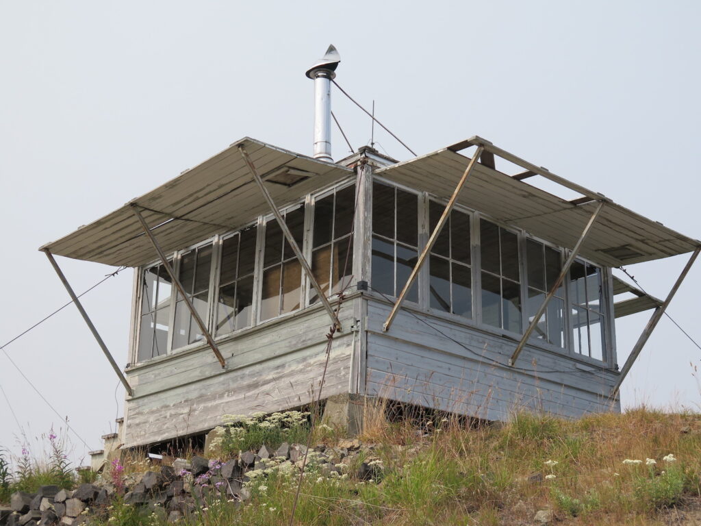
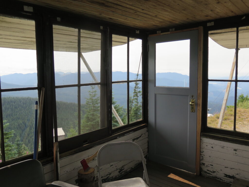
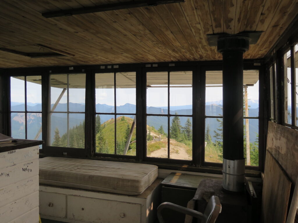
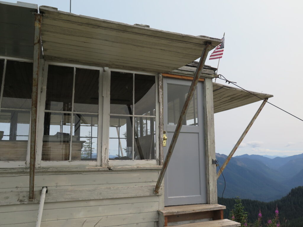
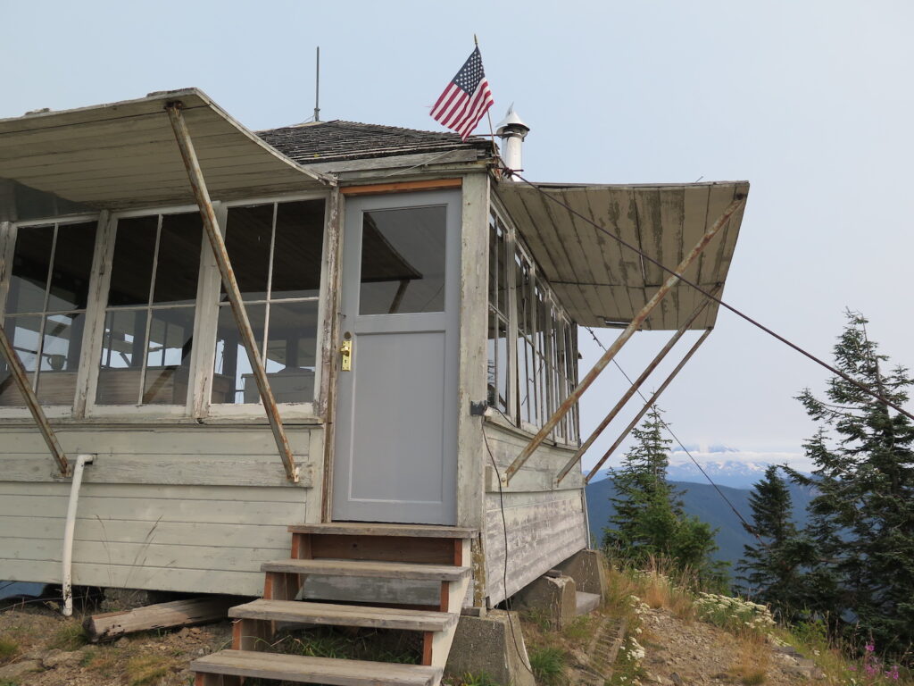
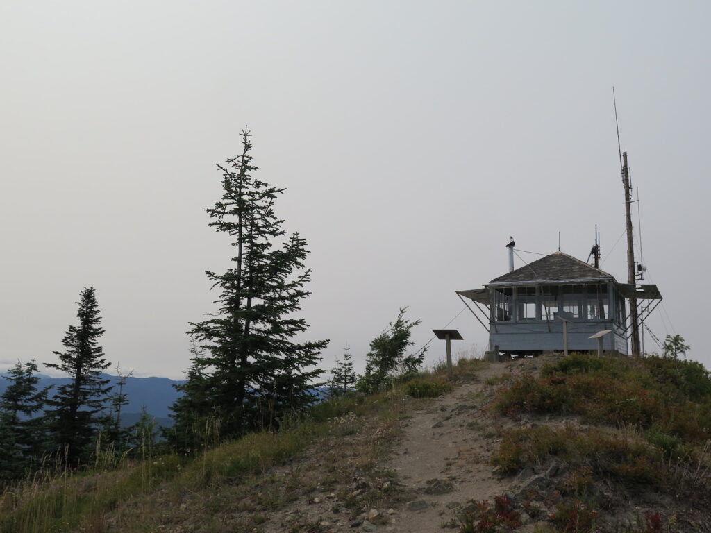
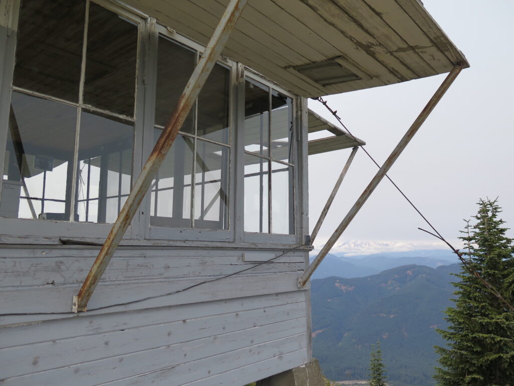
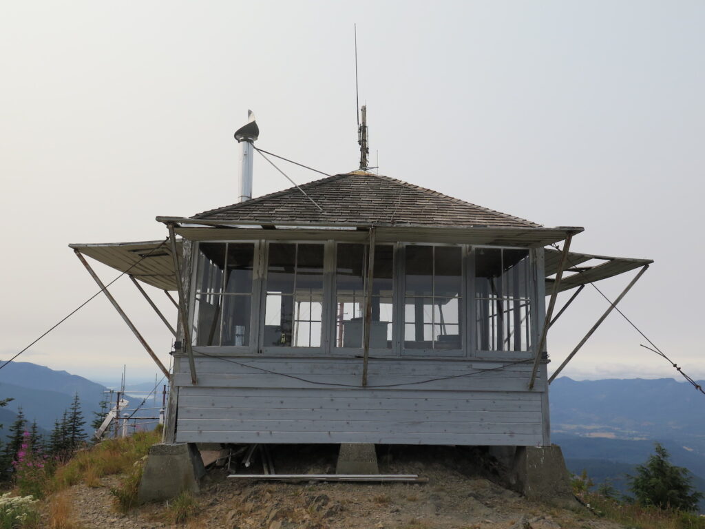
Lookout Type: L-4 ground house
Site Established: 1930
Current Structure Built: 1934
Date Visited: 8/12/18
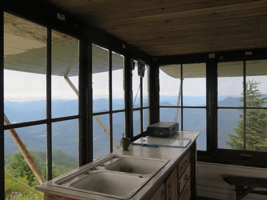
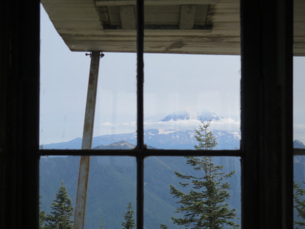
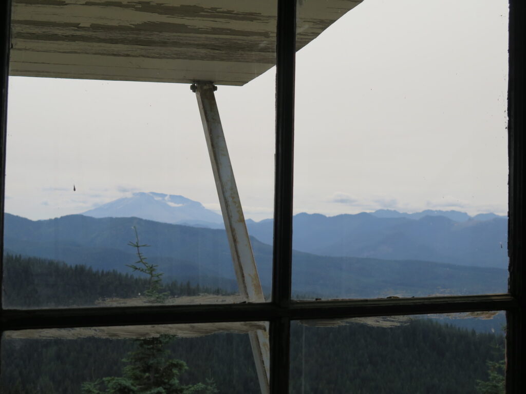
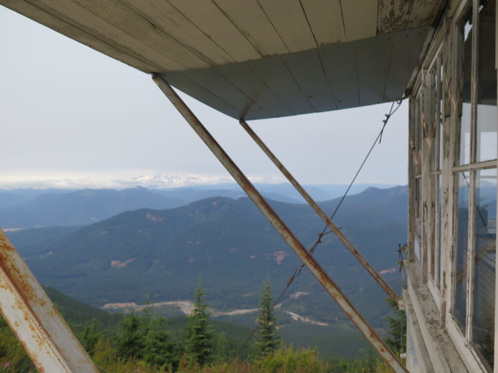
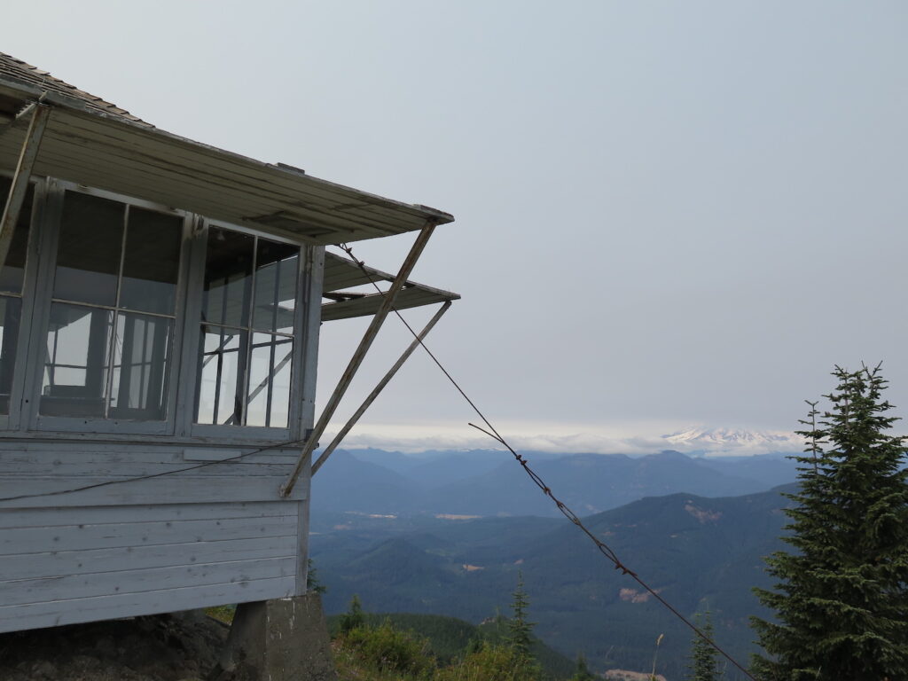
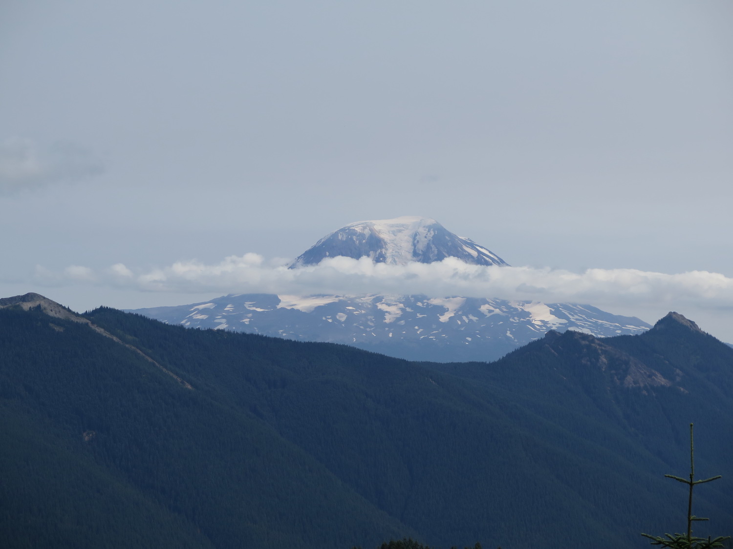
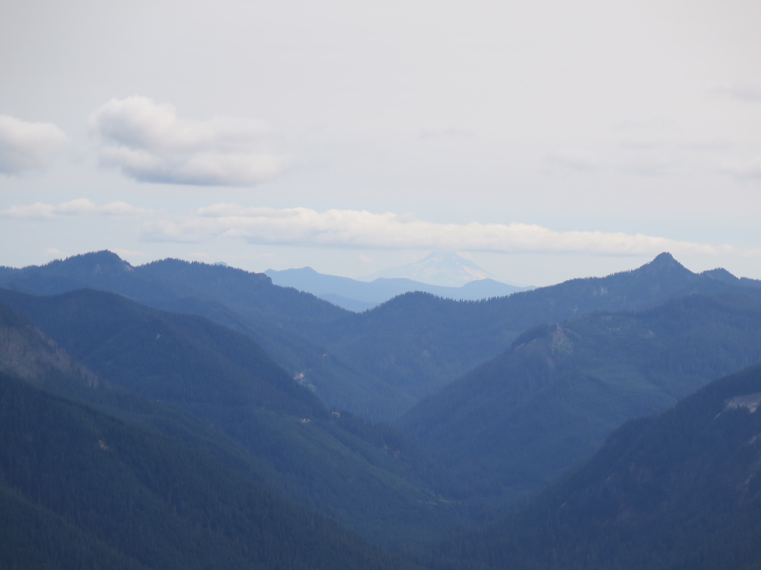
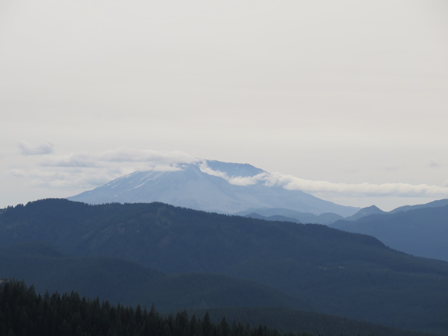
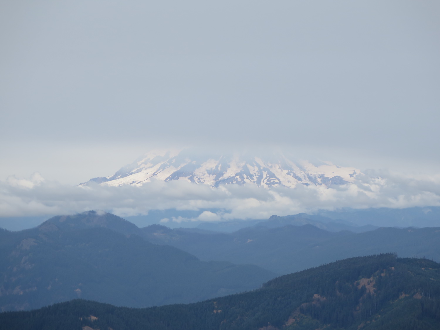
Burley was built in 1934 and once part of 60 lookouts across the Gifford Pinchot National Forest. Now only three remain. The views from the summit include four volcanoes: Adams, Rainier, Saint Helens, and Hood. Like many lookouts, Burley was historically staffed by several female lookouts.

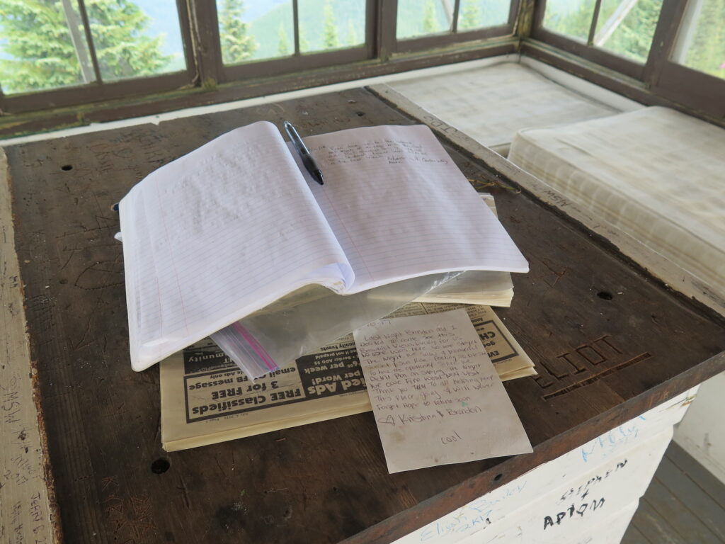
Photos from 2018.
History.
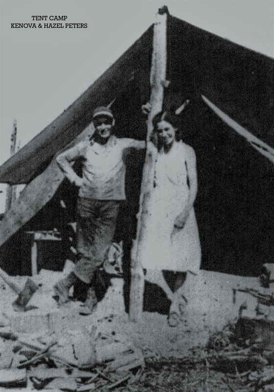
Burley started as a tent camp in 1930 before the existing L-4 ground house was built in 1934. Burley was the first lookout in the Randle District and once part of 60 lookouts across the entire Gifford Pinchot National Forest. By 1973 it was one of only three lookouts still in use across the National Forest.
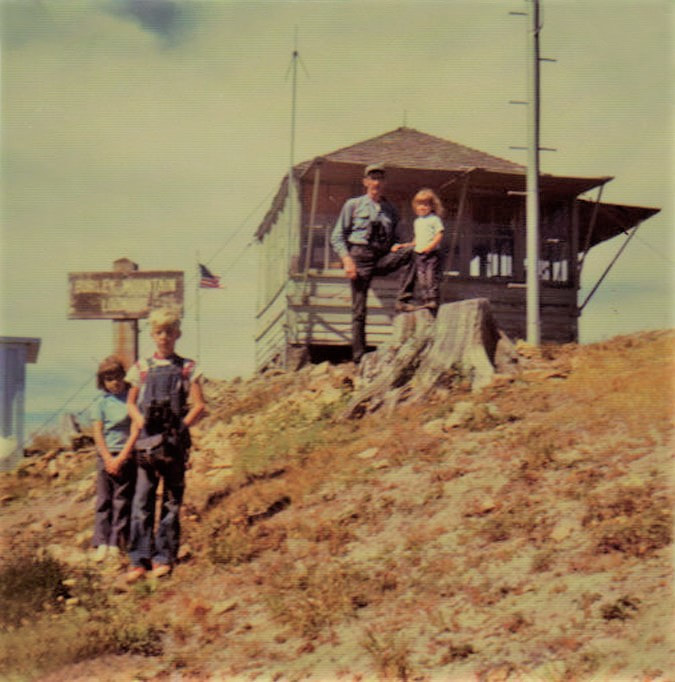
Burley was staffed by Charleen Kemper in 1968, the only female lookout in the Gifford Pinchot that year. In 1972 Burley was the only fire lookout staffed in the Randle Ranger District, manned (or womanned) by 23-year-old Jan Grose from Mossyrock.
The lookout was abandoned in 1974 and badly vandalized in the years after. In 1984, volunteers along with Forest Service employees remodeled Burley to repair damage from years of neglect and vandalism.
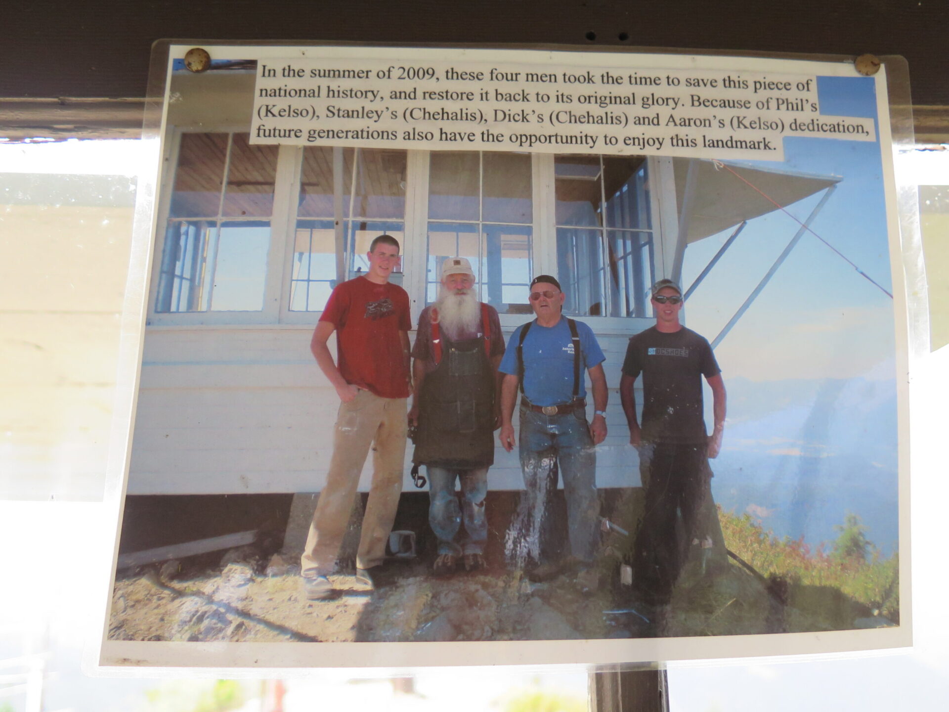
Burley was restored once again in 2009 thanks to Forest Fire Lookout Association member Dick Morrison and a team of volunteers.
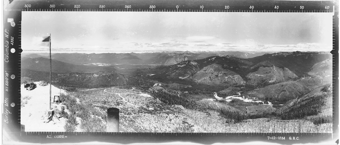
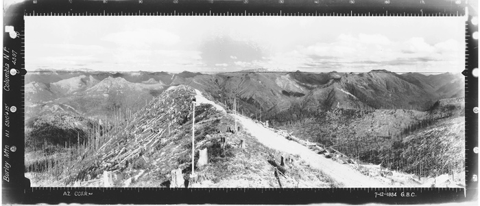
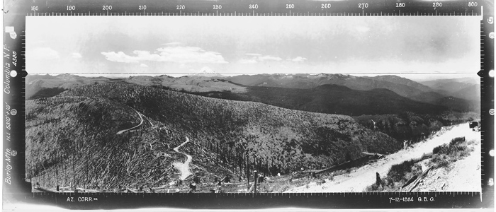
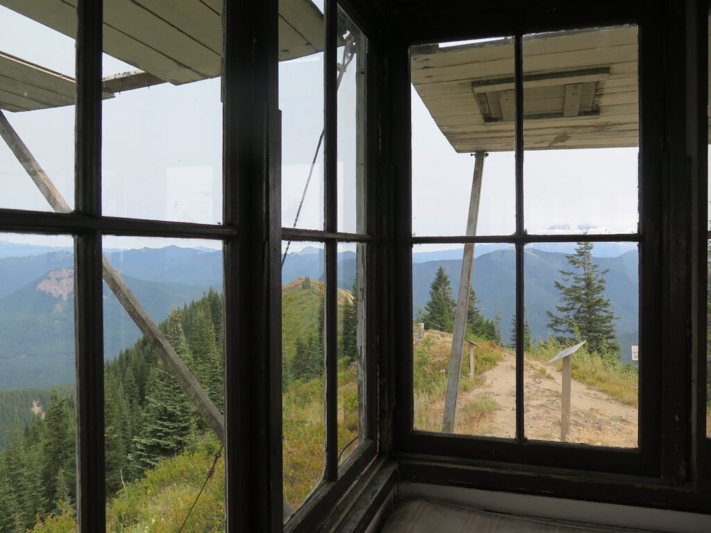
The view.
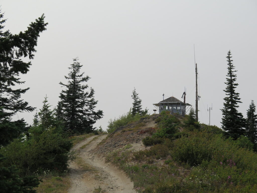
Burley might be the only exception to the only rule I had for myself while visiting all of Washington’s fire lookouts: only go on clear days to enjoy the views! While the day started beautifully enough, by the time I reached Burley wildlife smoke started drifting in and partly obscured some of the grand volcano views. I do need to return one day to get some clearer photos!
The route.
Distance (RT): 12.6 miles*
Elevation Gain: 4,084′
Summit Elevation: 5,310′
*Driving to the summit of Burley or quite near it is very possible with a high clearance 4WD and good road conditions. The road; however, has been closed often in the past due to washouts.
It is also possible to take a longer hike up to Burley from the Cispus Learning Center utilizing nature trails, a forest road, and a short hiking trail.
From the Learning Center, follow the Covel Creek Trail to the Covel Creek Falls Trail. Both trails tie into the Angel Falls Loop Trail, and at a junction a mile from the trailhead, you can descend a quarter mile to Angel Falls or take the Burley Mountain Trail, which climbs steadily upwards through dense second-growth forest. The trail ends on Forest Road 7605, which is approximately three miles from the lookout parking area. From the parking area, a trail continues a half mile to the lookout.
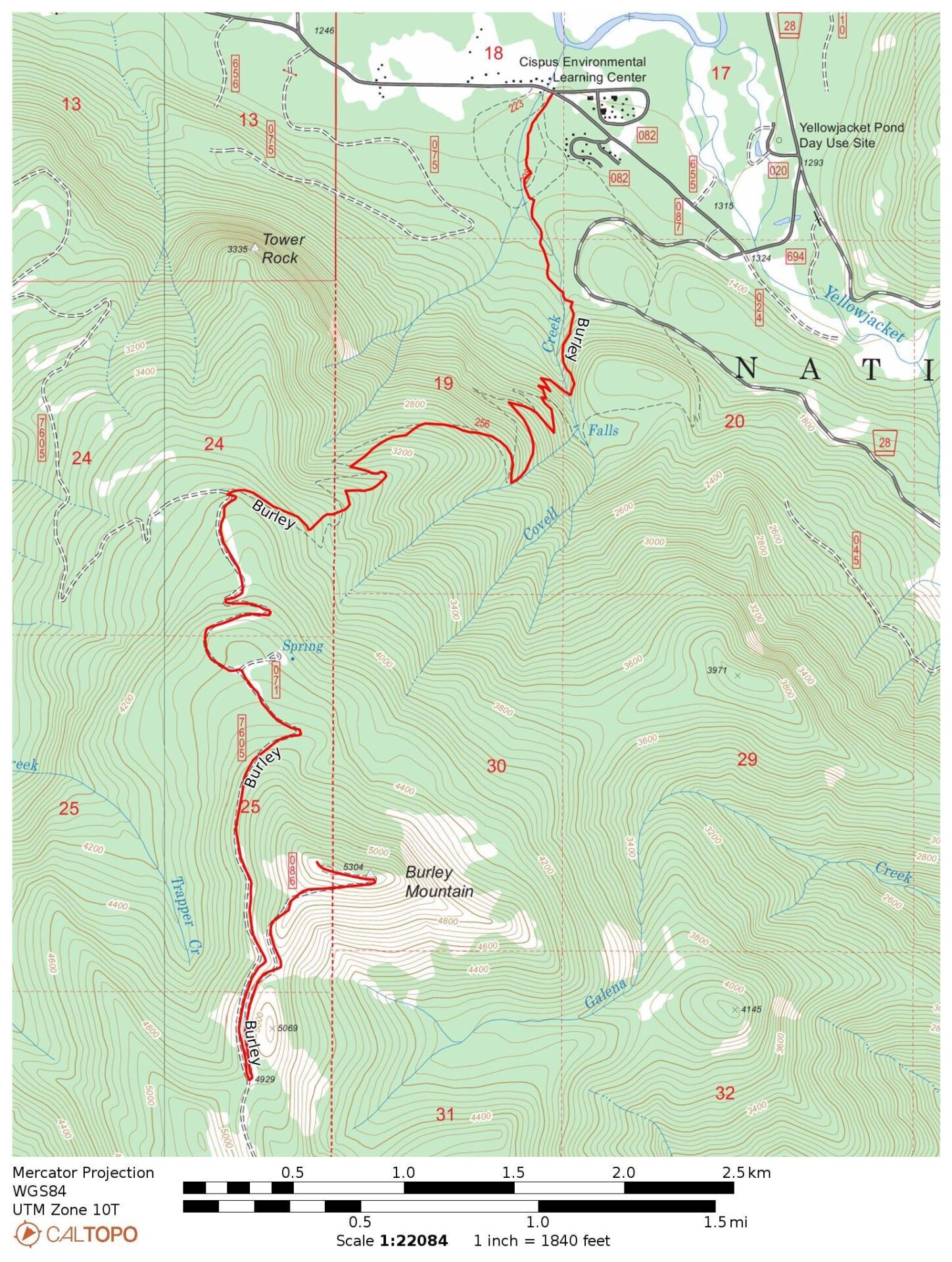
Directions.
To drive to the summit of Burley, turn south on Forest Road 23 from Randle, Washington and drive 10 miles, then right on Forest Road 28. In 1.3 miles, turn right on Forest Road 76, pass the Cispus Learning Center, and in 3.5 miles turn left on Forest Road 7605. The road can be very rough and has been closed off and on in the past due to poor conditions. In 7.5 miles, turn left on Forest Road 7605-086 and travel the final mile to the lookout.
If you’d like to enjoy a longer hike to the summit, stop at the Cispus Learning Center and follow trails listed above.