Olympic Mountains | Northwest Olympics
Olympic National Park, Olympic National Forest
Location: 48.0746944, -123.8102165
Summit Elevation: 3,100′
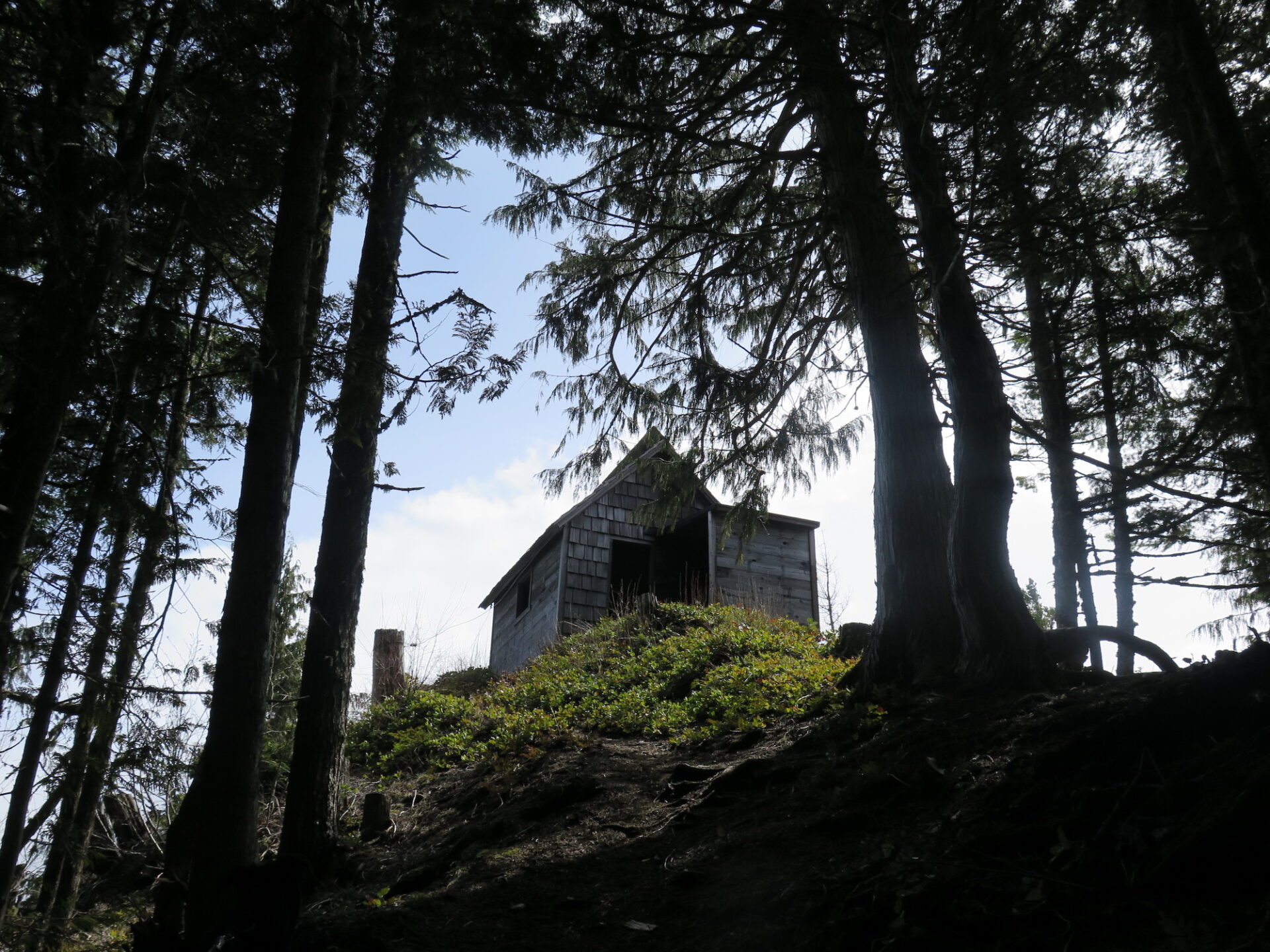
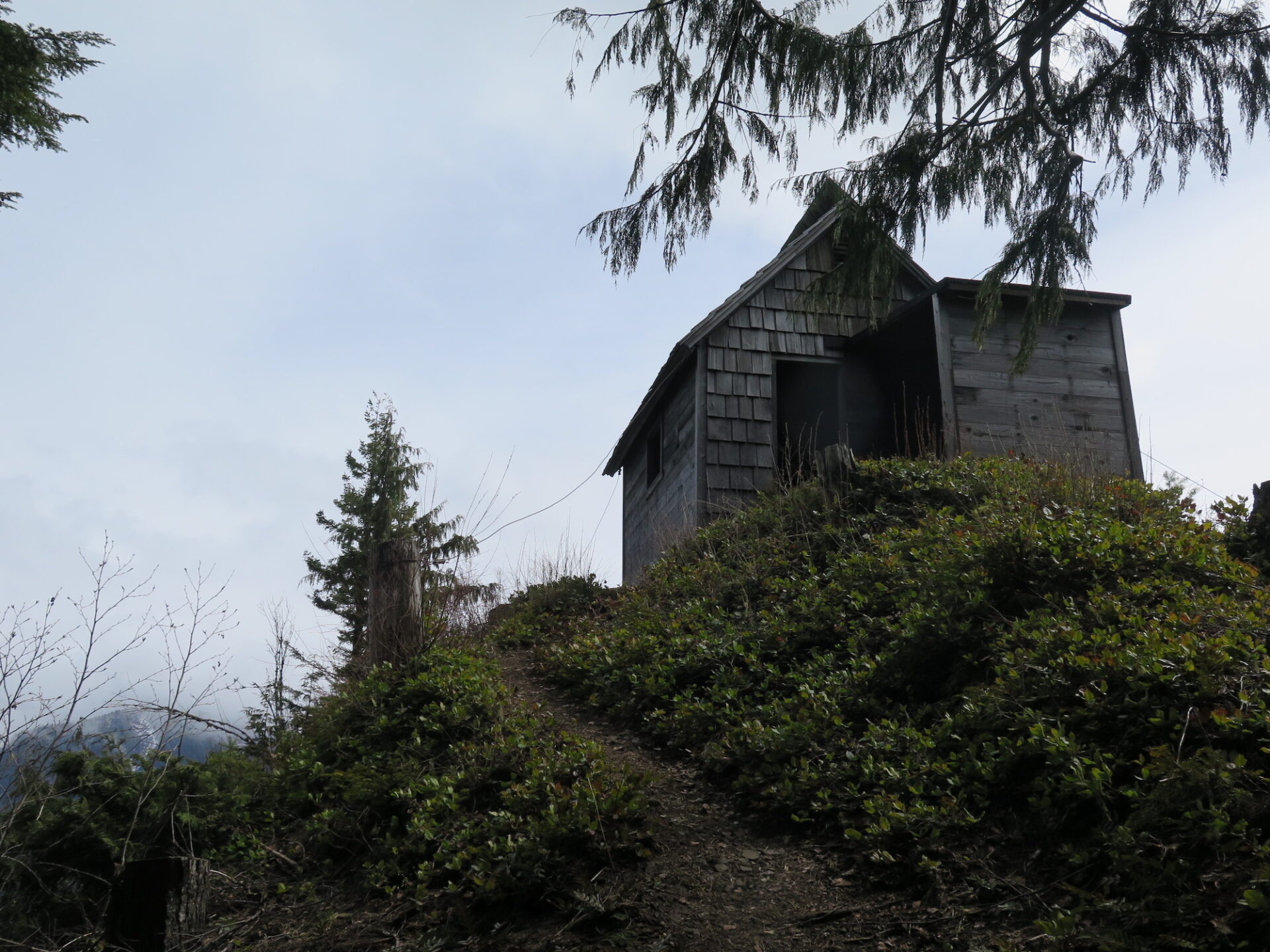
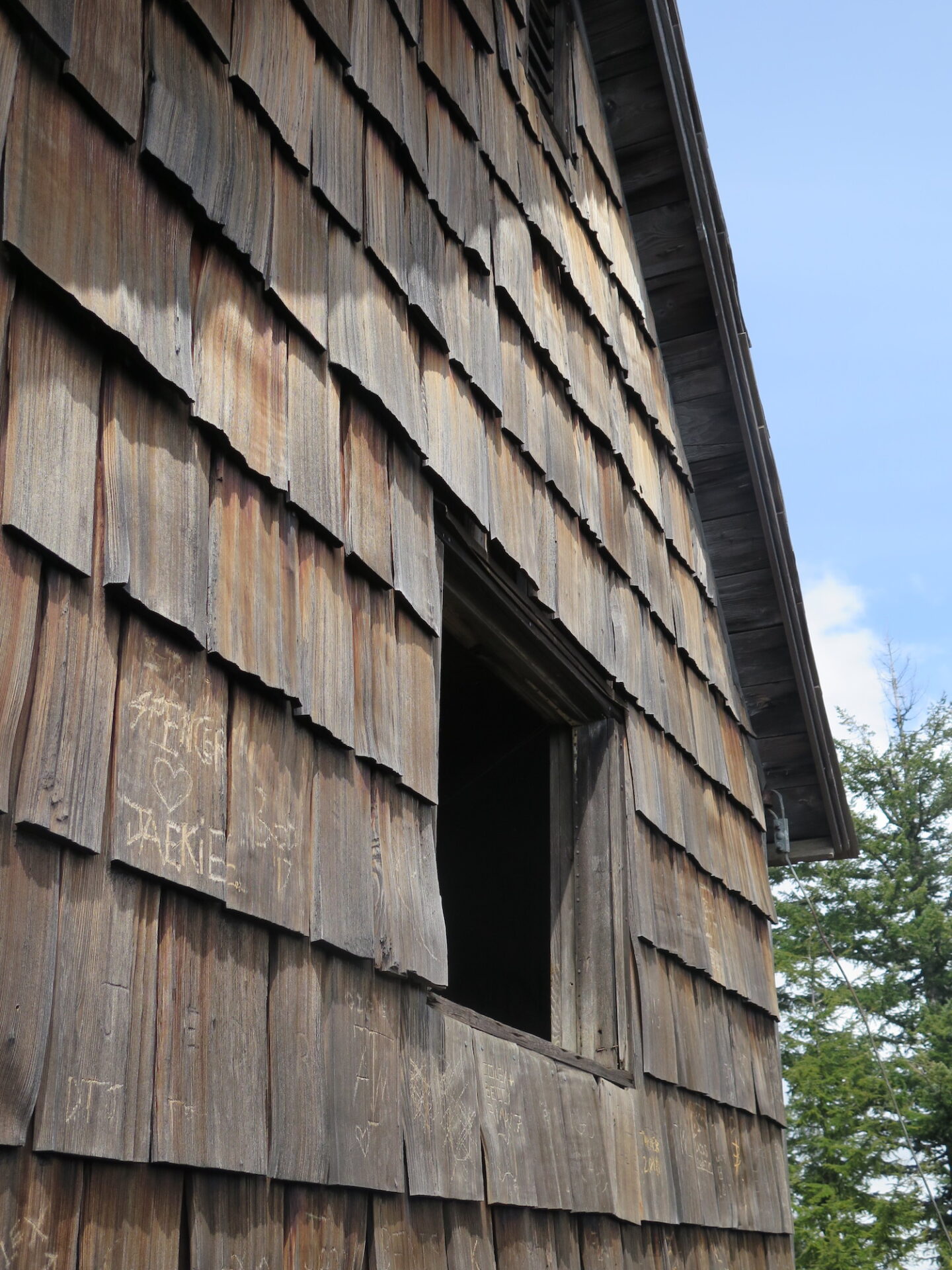
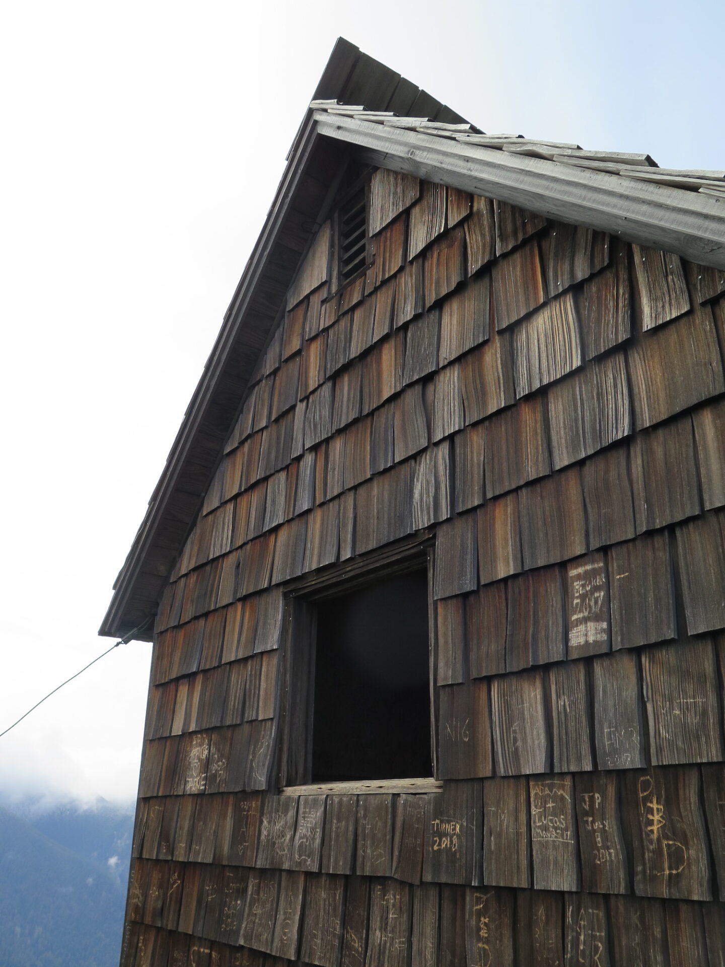
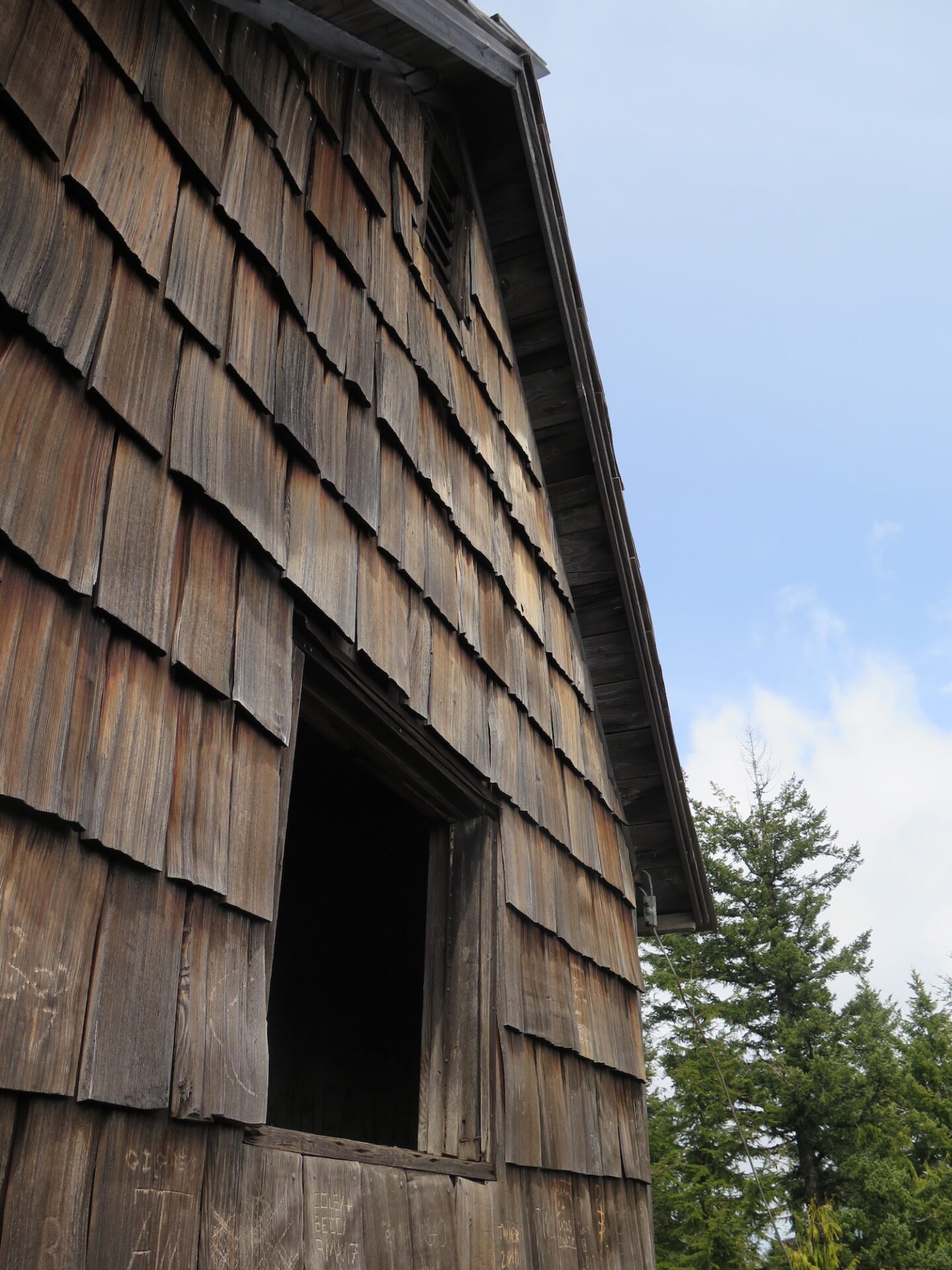
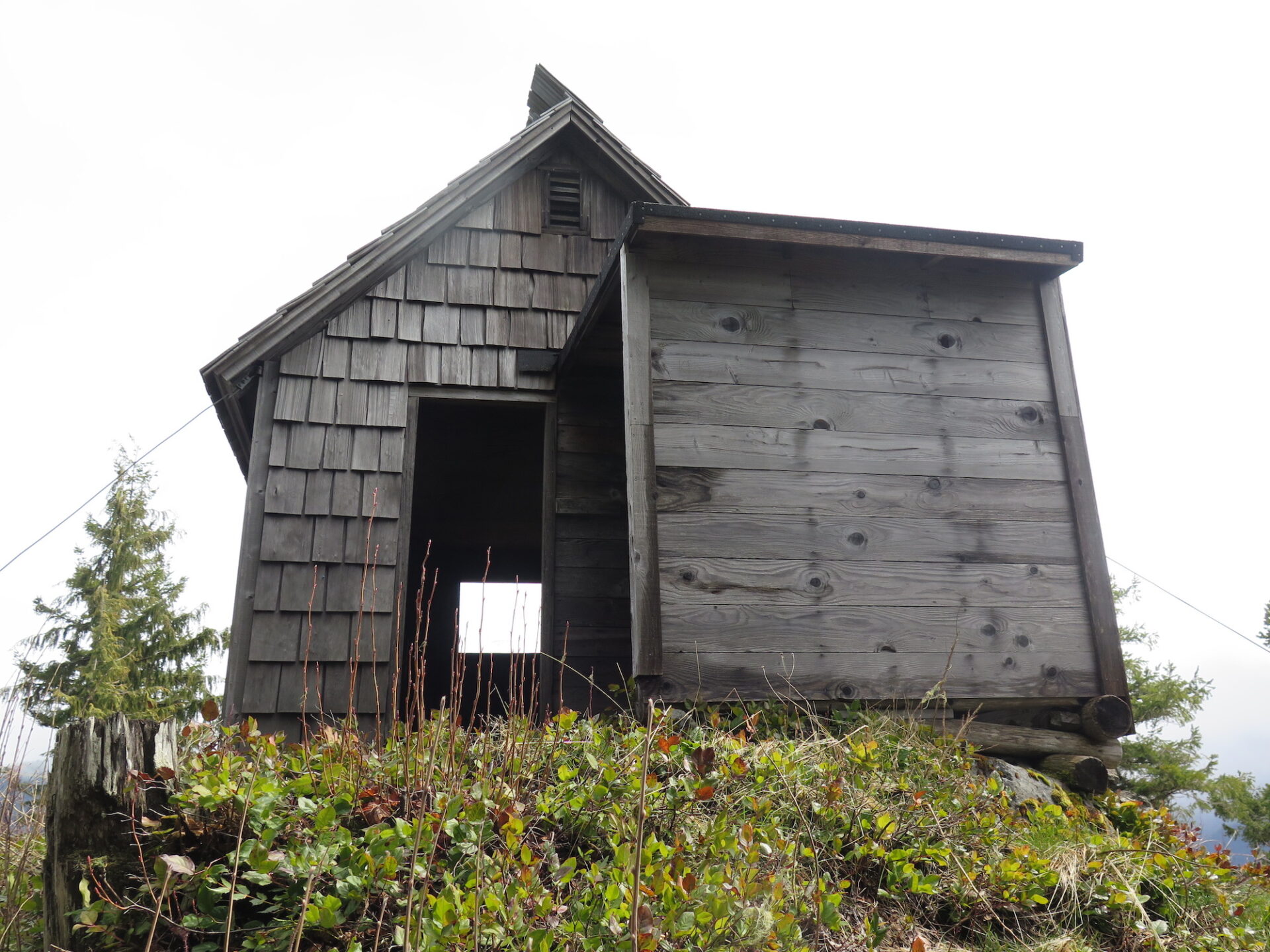
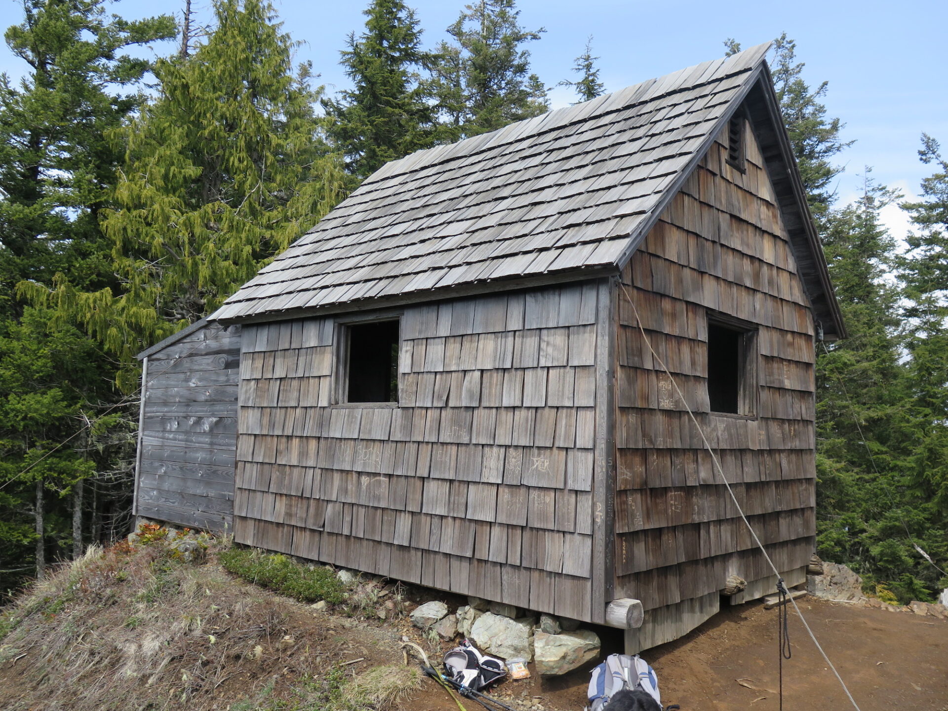
Lookout Type: custom designed cabin
Site Established: 1942
Current Structure Built: 1942
Date Visited: 4/21/18
This is another “lookout” up for debate. Many say it was nothing more than a WWII aircraft warning shelter, but some historical records indicate it was also used as a fire lookout. At any rate, it’s worth visiting! To get there though, you’ll need to put your inner mountain goat to the test on a treacherous trail washout or venture 20+ miles round trip on an alternate back route.
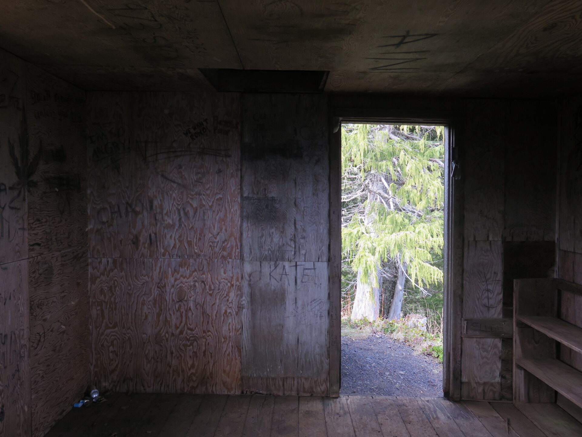
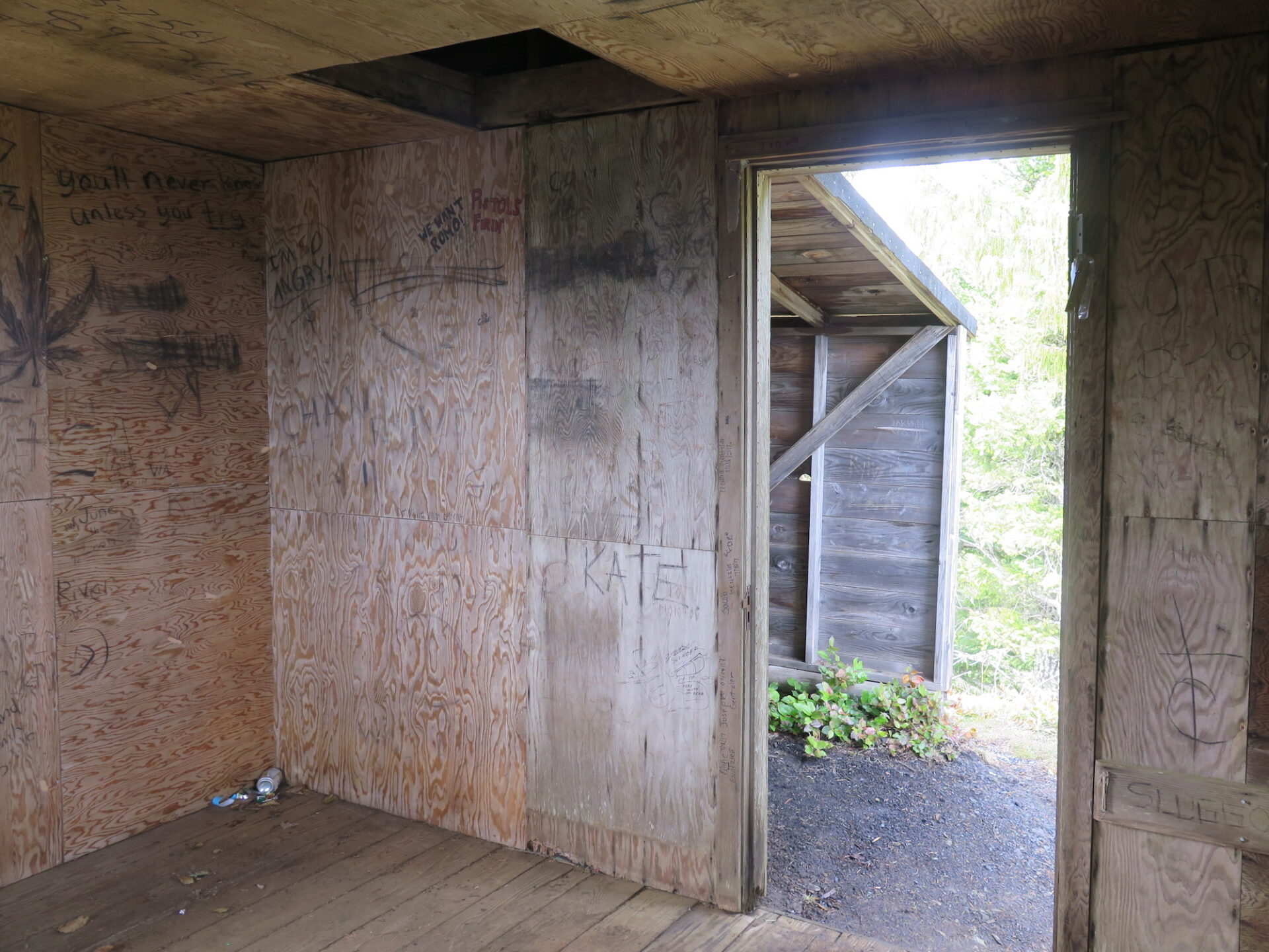
History.
Pyramid Mountain was once known as Sugarloaf Mountain, but received its present name in 1928.
The lookout was built as an Aircraft Warning System (AWS) in the fall of 1942 by National Park Service employees Joe and Rena Shurnick.
The United States Forest Service was the coordinating agency for the establishment of AWS observation posts and thirteen sites within the present boundaries of Olympic National Park were established as AWS lookouts.
Pyramid Peak was the only AWS lookout constructed with US Army funding and only Pyramid Peak and Dodger Point were utilized as AWS posts. Following World War II, Pyramid Peak Lookout remained in use as a fire detection lookout and only Pyramid and Dodger Point remain today of the 13 originally constructed lookouts.
The route.
Distance(RT): 7.5 miles
Elevation Gain: 3,004′
Summit Elevation: 3,100′
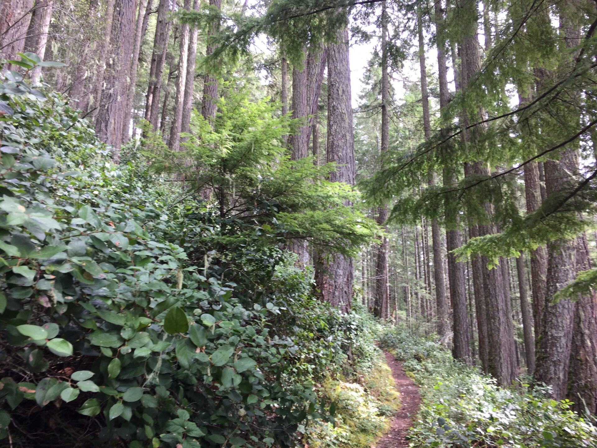
The trail to the summit of Pyramid Mountain requires a good, consistent climb, but it’s better known for a somewhat sketchy exposed washout around the 2 mile mark. In fact, you can see the trail and the washout from Highway 101 if you have good eyes.
So just how bad is the washout? I found it pretty intimidating, but I’m also not a big fan of exposed, narrow, loose slide trails. That’s my kryptonite. I did make it across with a lot of deep breaths and careful foot placement. Some are unable to cross it, in fact, another party on the mountain ahead of us turned around and did not cross. Others say it’s no big deal. It does warrant caution.
The dicey part of trail extends roughly 75-100 yards across an exposed slope but there is a boot path worn into it that gets better later in the season with more traffic.
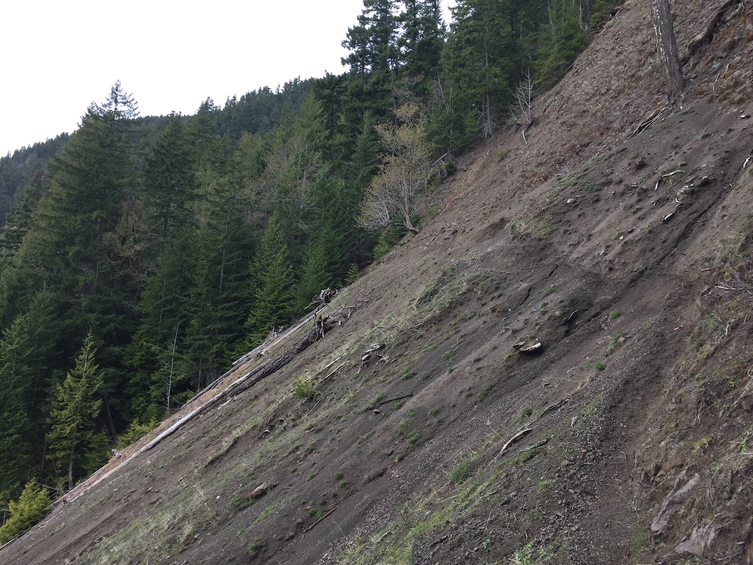


Crossing the washout on the way up is actually more difficult as the trail goes downhill across the slope. If you can get across on the way up, then the worst part is over. If you’re a seasoned hiker who is confident with your balance and feet, you’ll be fine. If not, don’t push it. I doubt a fall would be fatal but your risk of injury in a slide is high. I’m not sure I’d attempt it in wet conditions. If you’re at all worried, you can still visit the summit on a longer logging road route from the backside.
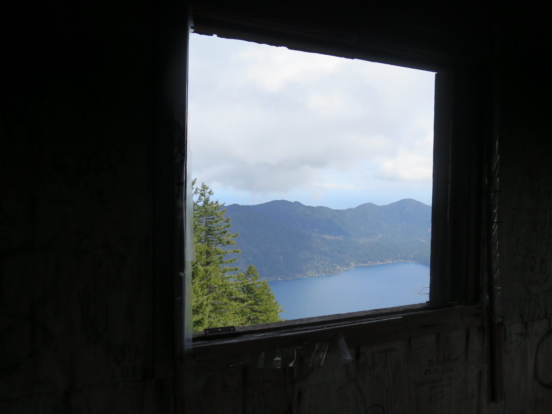
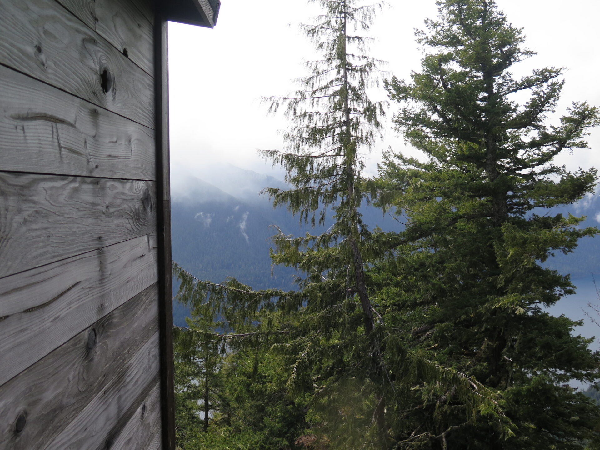
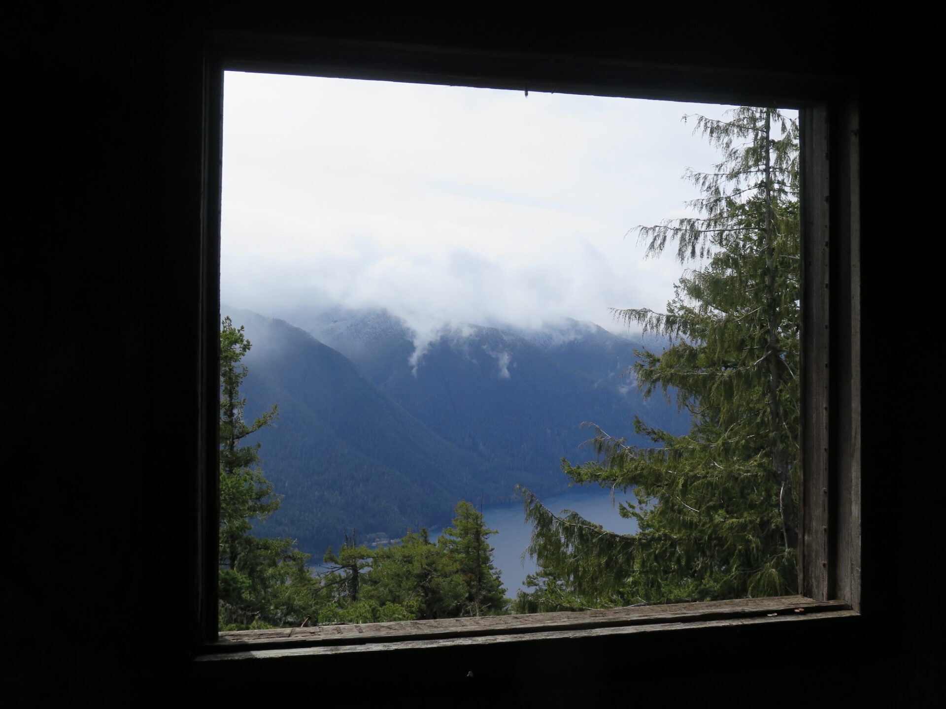
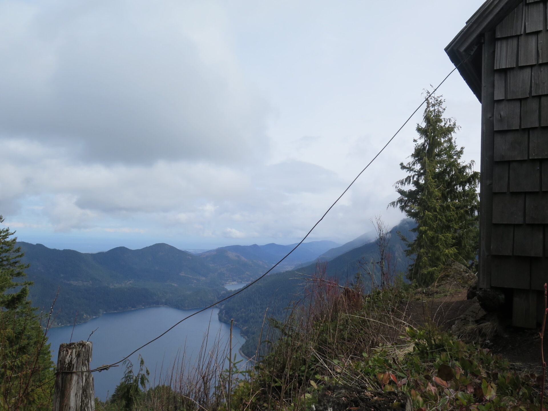
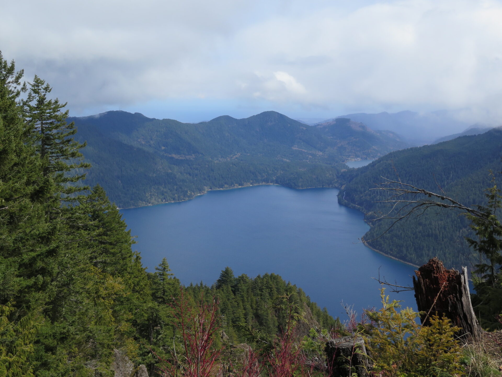
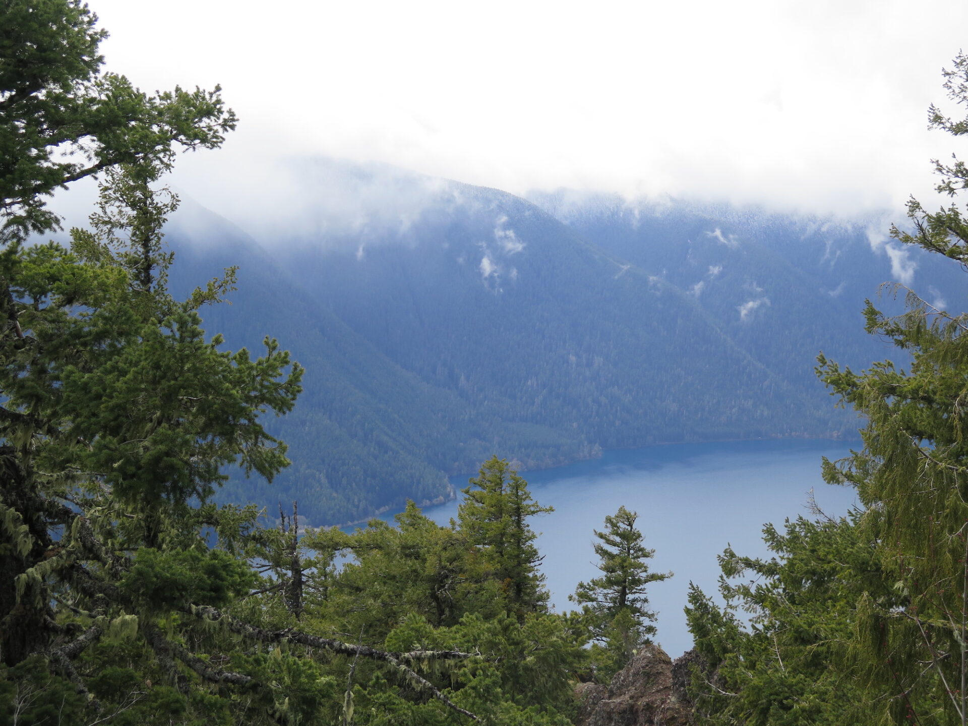
Although the lookout doesn’t have 360° views, it does have a commanding panorama of Lake Crescent and Aurora Ridge and on a clear day, views of the Strait of Juan de Fuca, Mount Baker, and the surrounding Olympics. There’s limited room at the top given the steep slopes but plenty of places to kick back and enjoy a snack!
Contrary to some online information, this trail is not dog friendly as it crosses into the Olympic National Park. However, the Spruce Trail and backside logging roads are in Olympic National Forest, which is dog-friendly.
Directions.
Pyramid Mountain is located on the north side of Lake Crescent right on the border of the Olympic National Park and Olympic National Forest, about a 4 hour drive from Seattle. From Port Angeles, follow US Highway 101 to Lake Crescent and take a right on Camp David Jr. Road just past the west end of the lake. The Pyramid Mountain trailhead is located 3 miles up the road and should be accessible by any type of vehicle.
Alternately, you can access Pyramid Mountain via a series of forest service roads from State Route 112 (the Strait of Juan de Fuca Highway) further to the north and turn it into a longer, slightly more adventurous bike, trail run, or hike. From 112, turn onto Forest Road 3040, then onto 3068. Pyramid Mountain is then a 20 mile round-trip trek.